Tarihi alan · Fier
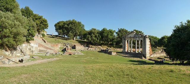
Apollonia
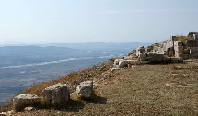
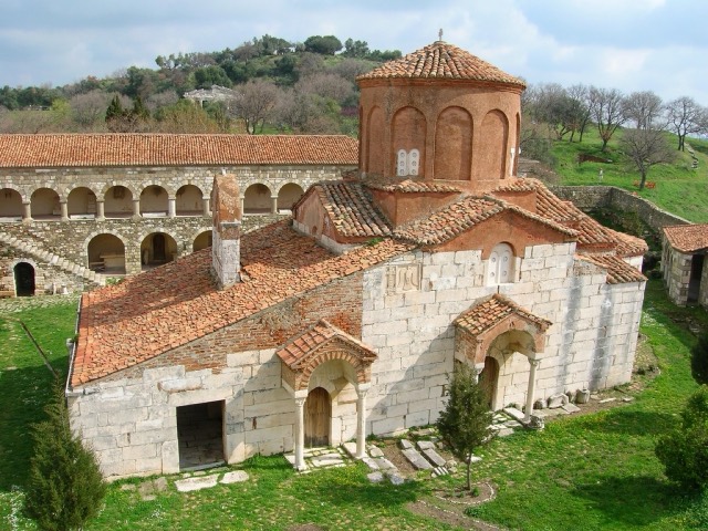
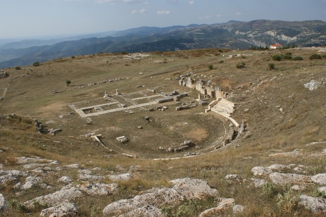
A Corinthian colony that became a Roman university town — Octavian was studying here when Caesar was killed.
Her il, her kıyı, her yüzyıl
Rehberli görünüm
Arnavutluk'a yeni misiniz? Her sayfa, ayrıntılara geçmeden önce on yaşında bir çocuğa okuyabileceğiniz sade bir açıklamayla başlar.
Uzman görünümü
Temel bilgileri zaten biliyorsunuz. Sade açıklamalar gizli, doğrudan özüne geçin. Bu varsayılan ayardır.
Şehir
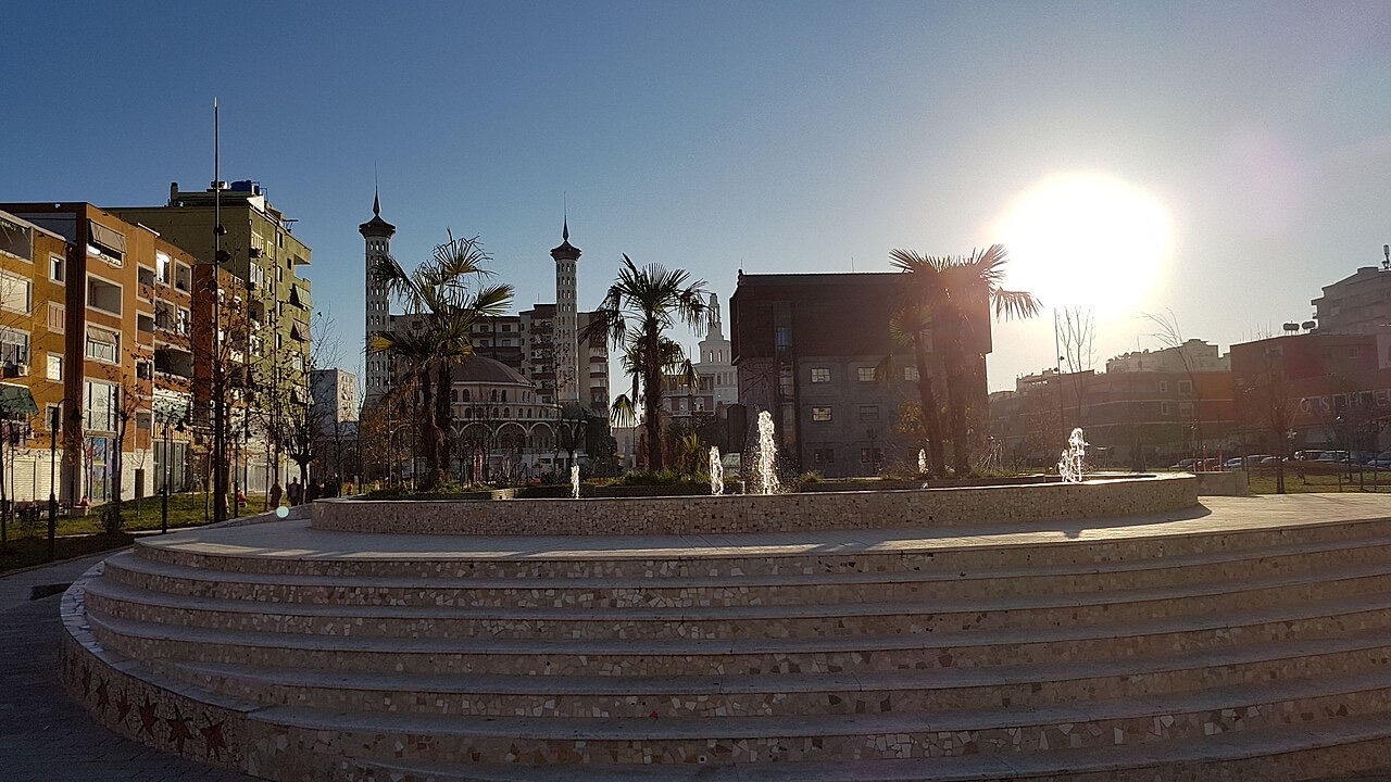
The service town of the oil and farming plain, next to the ruins of Apollonia.
Kaydet
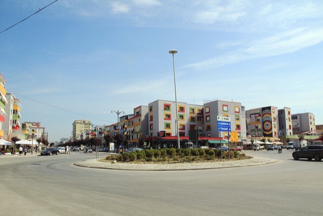
Fier is a working town on a flat plain full of farms. Albania's oil fields are close by. Just outside the town are the ruins of Apollonia, a city the ancient Greeks built.
Fier is a working town on a flat plain full of farms. Albania's oil fields are close by. Just outside the town are the ruins of Apollonia, a city the ancient Greeks built.
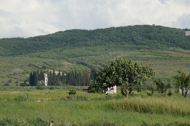
Fier is the seventh most populous city in Albania and serves as the seat of both Fier County and Fier Municipality. It sits on the bank of the Gjanica River in the Myzeqe Plain, bounded by the Seman River to the north, the Vjosë River to the south, and the foothills of the Mallakastra Mountains to the southeast. The Adriatic Sea lies to the west, close enough to influence the city's climate.
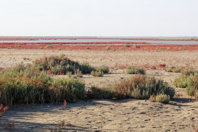
The municipality of Fier covers an area of 619.9 km² and incorporates ten administrative units: Cakran, Dërmenas, Frakull, Levan, Libofshë, Mbrostar, Portëz, Qendër, Topojë, and the city of Fier itself as seat. Its territory extends from the mouth of the Seman within the Divjakë-Karavasta National Park in the northwest along the Adriatic coast to the mouth of the Vjosë in the Vjosa-Narta Protected Landscape in the southwest, which also forms the municipality's southern boundary. Fier falls within the Southern Region of Albania.
The name is claimed to derive from the Albanian common noun fier, said to mean 'fern'. Naming settlements after local flora is described as a characteristic practice among Myzeqar Albanians, lending some cultural plausibility to this explanation.
An alternative hypothesis derives the name from the Italian word fiera, meaning 'trade fair'. This would reflect the location's documented use as a marketplace by Venetian traders in the 14th and 15th centuries, when merchants came to purchase agricultural products from the Myzeqe lowlands. Neither etymology is confirmed as definitive.
Fier was founded in the 19th century by the Vrioni family and officially established in 1864 by Omer Pasha Vrioni II, the father of Kahreman Pasha Vrioni (1889–1955). When the settlement received city status in 1864, the local governor Kahreman Pasha Vrioni commissioned French architects to plan a future city conceived as an artisan and trade centre.
Between 1864 and 1865, a market accommodating 122 merchants was constructed along the Gjanica River. The earliest inhabitants of the city were the servants of Kahreman Pasha Vrioni and members of Aromanian families who had already been living in the area since the early 19th century.
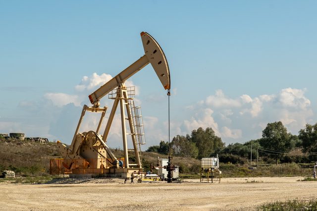
The history of the Fier area is closely tied to the presence of oil, gas, and bitumen deposits. Records of asphalt and burning natural gas escapes in the vicinity date to the 1st century AD. The ancient physician and botanist Dioscorides, writing in his Materia Medica, describes lumps of bitumen found in the adjacent Seman River. Strabo, writing around AD 17, recorded that on the territory of Apollonia there was a rock emitting fire, springs of hot water, and a neighbouring hill yielding asphalt, with excavated sections being refilled by earth that converted over time into new asphalt.
In the 14th and 15th centuries, the site that would become Fier functioned as a marketplace used by Venetian traders to acquire agricultural produce from the Myzeqe lowlands. This commercial role pre-dated the formal foundation of the city by several centuries.
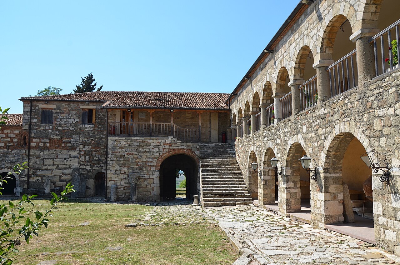
Approximately six kilometres from Fier stand the ruins of Apollonia, described as one of the two most important ancient Greek colonial settlements in present-day Albania. It was founded around 588 BCE—some sources in the article give approximately 600 BC—by Greek settlers from Corfu and Corinth, on a hill near the sea and near the then-course of the Vjosë River. The site was on the territory of the Illyrian tribe of the Taulantii, and archaeological investigation indicates that for around 100 years Greeks and Illyrians lived in separate communities at the site. The colony was initially called Gylaceia after its Corinthian founder, Gylax, before taking the name Apollonia.
Apollonia's economic prosperity rested on trade in slaves and a rich pastoral and agricultural base. By the mid-5th century BC a coin-minting workshop had been established there, and the coins circulated throughout Illyria and beyond. Before an earthquake in the 3rd century AD altered land formations and the Adriatic coastline, Apollonia's harbour could accommodate up to 100 ships. From 214 BC the city became involved in conflict between the Illyrian Taulantii and Cassander, king of Macedonia; it came under Roman control in 229 BC, and its loyalty to Rome was rewarded in 168 BC.
For approximately 200 years Apollonia was of central importance to Roman eastward colonisation and may have been an original terminus of the Egnatian Way—though the article notes this without firm confirmation. The city was a vital stronghold for Julius Caesar during his civil war against Pompey. In 45 and 44 BC, the future emperor Augustus (then called Octavian) spent six months studying rhetoric there. Cicero, in the Philippics, described Apollonia as 'magna urbs et gravis'—a great and important city. The city eventually declined as the Vjosë silted up and the coastline changed following the earthquake.
On 25 June 1992, Fier was the location of what is recorded as Europe's last public execution to date. Dritëbardh Çuko and Josif Çuko were hanged for the Libofshë massacre, described as a bungled robbery and revenge attack in which the pair murdered a family of five. The execution took place 27 days after the killings were committed.
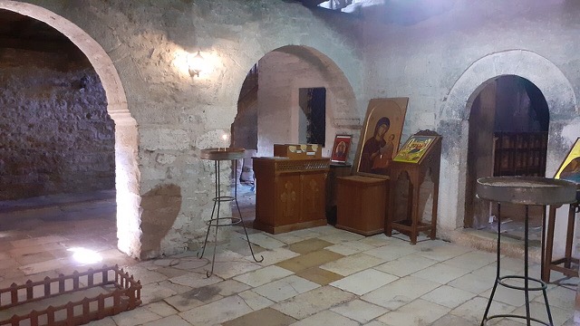
Following the fall of communism, construction activity expanded in the city. An Orthodox church was reconstructed in 1999, restoring public religious practice for that community.
Fier has a Mediterranean climate, classified as Csa under the Köppen climate classification system, characterised by mild winters and hot, dry summers. Proximity to the Adriatic Sea to the west moderates the climate seasonally.
The city sits within the Myzeqe Plain, surrounded by marshland. The Gjanica River, a tributary of the Seman, runs through or alongside the urban area. The municipality's territory reaches the Adriatic coastline, approximately 19 km west of the city centre.
Fier is an important industrial city. Together with the nearby town of Patos, located 8 km to the east, it forms the centre of Albania's oil, bitumen, and chemical industries. The Fier Power Plant was constructed during the communist era as a centre for power generation in Albania; it was decommissioned in 2007. In 2023 a joint Greek-Albanian venture was announced with the aim of revitalising those thermal plants to diversify Albania's electricity supply.
The Trans Adriatic Pipeline crosses Fier, and a pumping station was planned to be built in the city as part of that project. Construction of the pipeline began in 2015, with a projected completion date of 2020 according to the article. Fier is also known for production of the Kalinjioti olive cultivar; together with Vlora, Berat, and Elbasan, Fier contributes to an estimated 90% of Albania's olive oil output. Other economic outputs include sugar, bread, and animal products.
Fier is served by the A2 motorway and the SH4 state highway, forming a north–south corridor in Albania and constituting part of the Adriatic–Ionian motorway. The SH4 connects Fier northward to Durrës; the SH8 links the city southward to Vlorë, approximately 35 km away. A project for a dedicated Fier–Vlorë highway was mentioned in sources at the time of writing.
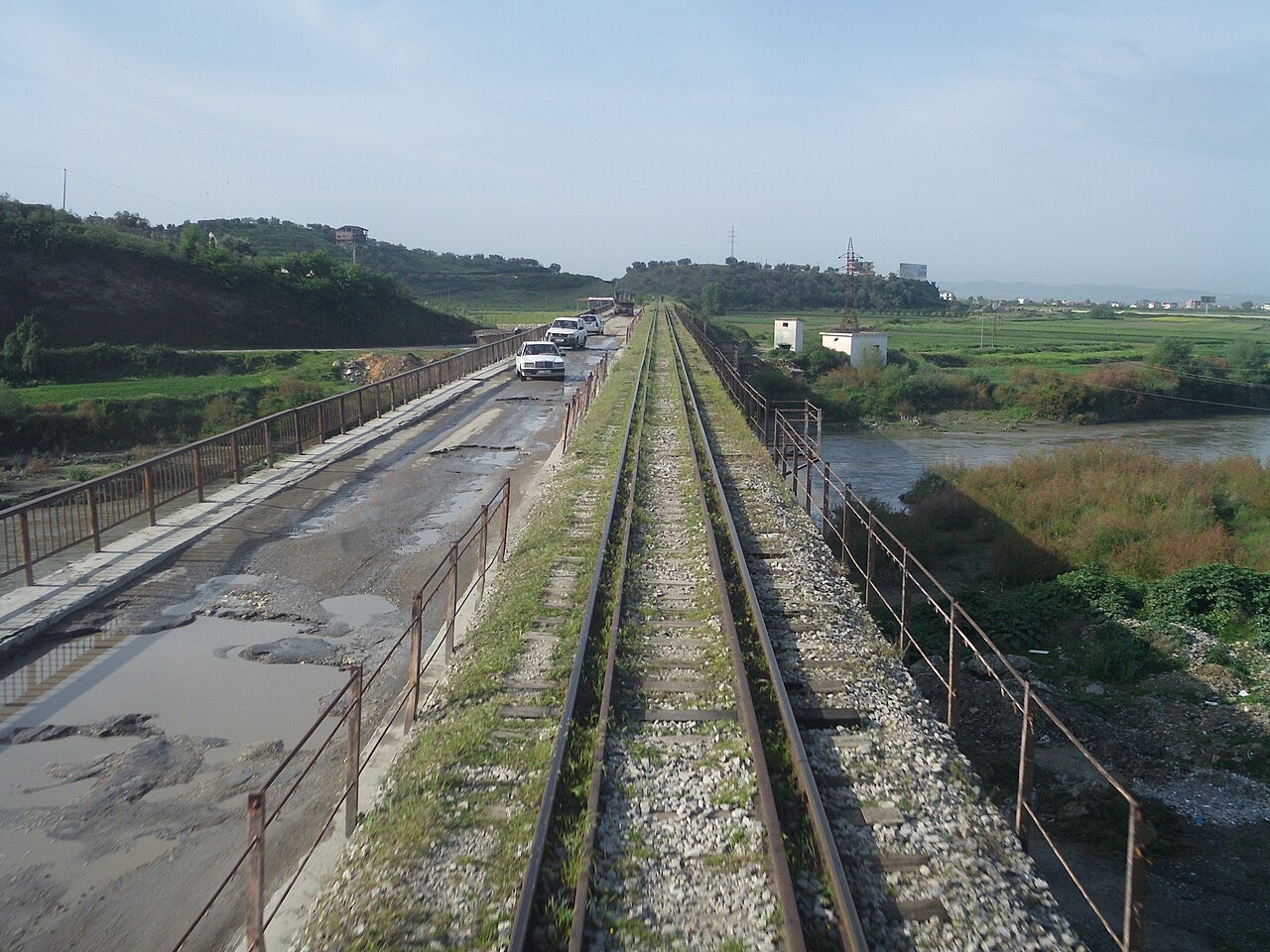
Fier has a railway station, though train services were not running as of the time the article was written; services had operated during the communist era. Urban bus services operate within the city, and long-distance buses at the city terminal connect Fier to other Albanian destinations and to the wider Balkan region.
Fier is the seventh most populous city and sixth most populous municipality in Albania. The 2023 census recorded a population of 52,926 in the municipal unit of Fier itself, of whom 25,935 were men and 26,991 women. The municipality as a whole, including all adjacent administrative units, had a total population of 101,963 in the 2011 census.
The city has a religiously mixed population of Muslims and Orthodox Christians, a pattern shared with other cities of southern Albania. Data from 1918, shortly after Albanian independence from the Ottoman Empire, recorded that Fier and its surrounding countryside on the Myzeqe Plain formed a majority Orthodox Christian area in which Muslims constituted approximately 35% of the total population.
Football and basketball are described as the main sports in Fier. The principal football club is KF Apolonia, which plays in the Albanian First Division; its home ground is the Loni Papuçiu Stadium. A second club, KF Çlirimi, plays in the Albanian Second Division at the Stadiumi Fusha Sportive e Shkolles Bujqesore. The basketball club BC Apolonia competes in the Albanian Basketball League, with the Fier Sports Palace as its home venue.
Fier is twinned with Cleveland, Ohio, in the United States. It also maintains cooperation agreements with Lanzhou, Gansu, in China, and with Peja in the Peja District of Kosovo.
En sıcak ay August (günlük azami sıcaklık ortalaması 32°C), en soğuk ay ise January (günlük asgari sıcaklık ortalaması 4°C), ve en yağışlı ay November (119 mm). Yıllık toplam yağış ortalaması 916 mm.
| Ay | Azami | Asgari | Yağış | Yağışlı gün | Güneş/gün |
|---|---|---|---|---|---|
| January | 12°C | 4°C | 91 mm | 11 | 7.4 h |
| February | 13°C | 4°C | 83 mm | 10 | 8.3 h |
| March | 16°C | 6°C | 89 mm | 10 | 9.8 h |
| April | 19°C | 9°C | 75 mm | 11 | 11.0 h |
| May | 24°C | 14°C | 61 mm | 8 | 12.2 h |
| June | 28°C | 18°C | 42 mm | 6 | 13.6 h |
| July | 32°C | 20°C | 25 mm | 4 | 13.8 h |
| August | 32°C | 21°C | 29 mm | 5 | 12.9 h |
| September | 26°C | 17°C | 88 mm | 9 | 10.8 h |
| October | 22°C | 13°C | 102 mm | 9 | 9.3 h |
| November | 17°C | 9°C | 119 mm | 11 | 7.5 h |
| December | 13°C | 5°C | 111 mm | 12 | 6.8 h |
Kaynak: ERA5 reanalysis via Open-Meteo, 1994–2023 · "Azami" ve "Asgari", günlük ortalama maksimum ve minimum hava sıcaklıklarıdır. "Yağışlı gün", en az 1 mm yağış düşen günlerin sayısını ifade eder.
Tarihi alan · Fier
A Corinthian colony that became a Roman university town — Octavian was studying here when Caesar was killed.
Tarihi alan · Fier
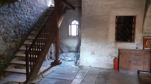
A hilltop monastery on the Myzeqe plain where, by tradition, Skanderbeg was married in 1451.
Tarihi alan · Fier
The largest Illyrian city yet excavated, on a plateau above the Vjosa with five early Christian basilicas.
Koruma altındaki alan · Fier
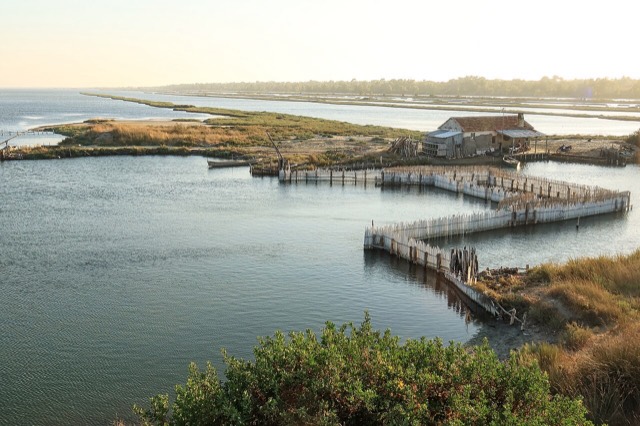
Coastal pine forest, dunes and lagoon protecting the region's Dalmatian pelican colony.
İlçe · Fier
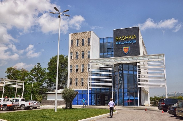
The seat of Mallakastër and the site of Albania's main oil refinery, near the ruins of Byllis.
Göl · Fier
The largest lagoon in Albania and the western Balkans' main breeding site for the Dalmatian pelican.
Enerji tesisi · Fier
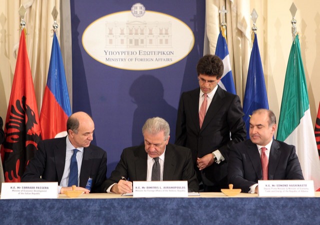
The 878 km gas pipeline from the Greek border to Italy, of which 215 km crosses Albania.
İlçe · Fier
An agricultural centre on the Myzeqe plain, and the site of the 1920 congress that saved Albanian statehood.
Havalimanı · Fier
A new airport under construction on the Narta lagoon edge, intended to serve the southern coast.
Şirket · Fier
The Canadian-listed operator that redeveloped Patos-Marinza, acquired by China's Geo-Jade Petroleum in 2016.
Enerji tesisi · Fier
The largest onshore oil field in continental Europe, in production since the 1920s.
Tarihi alan · Fier
A Corinthian colony that became a Roman university town — Octavian was studying here when Caesar was killed.
Tarihi alan · Fier
A hilltop monastery on the Myzeqe plain where, by tradition, Skanderbeg was married in 1451.
Şehir · Berat
The 'city of a thousand windows': an Ottoman hill town under a still-inhabited castle, UNESCO-listed since 2008.
Tarihi alan · Fier
The largest Illyrian city yet excavated, on a plateau above the Vjosa with five early Christian basilicas.
Şehir · Durrës
Albania's principal port and its oldest continuously inhabited city, founded as Epidamnos in 627 BC.
Şehir · Elbasan
A central industrial city inside an Ottoman fortress wall, on the old Via Egnatia.
İl
The capital county: roughly a third of the country's people, its jobs and its universities.
Şehir · Vlorë
Where the Adriatic meets the Ionian, and where Albanian independence was declared in 1912.
Sanayi
A large share of employment on very small holdings — the legacy of the 1991 land redistribution.
Sanayi
Heavy onshore crude from Patos-Marinza, produced since the 1920s and refined at Ballsh.
Bu sayfada bir hata mı var? Düzeltmeler memnuniyetle karşılanır ve kaynak kayıtla karşılaştırılarak kontrol edilir. Neyin yanlış olduğunu ve mümkünse doğru rakamın kaynağını bize bildirin.