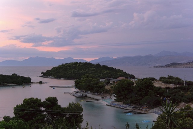
Городок · Vlorë
Himarë
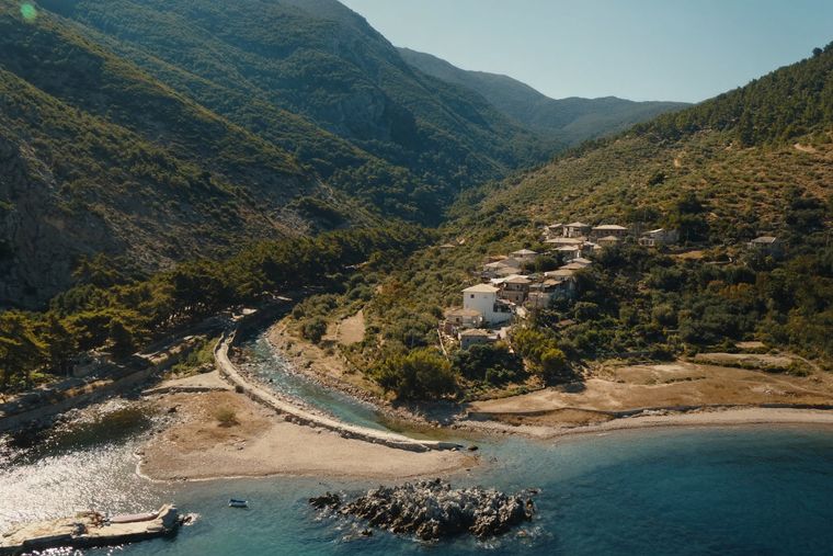
The centre of the Riviera coast: a Greek-speaking historical community, an old hill village and a string of coves.
Каждый округ, каждый берег, каждый век
Режим с пояснениями
Впервые об Албании? Каждая страница начинается с доступного объяснения, понятного даже десятилетнему ребёнку, и лишь затем переходит к подробностям.
Режим эксперта
Основы вам уже известны. Сразу к существу вопроса, без простых пояснений. Это режим по умолчанию.
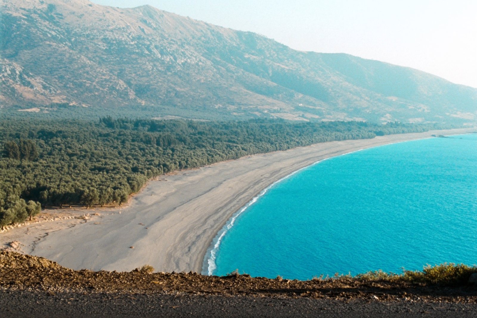
Пляж · Vlorë County
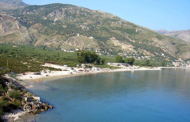
At roughly 7 km, the longest single beach on the Riviera, backed by one of Albania's largest olive groves.
Сохранить
Borsh is the longest beach on the Albanian Riviera — about 7 kilometres of pebbles. Behind it is a huge olive grove with very old trees, and a stream runs down to the sea.
Borsh is the longest beach on the Albanian Riviera — about 7 kilometres of pebbles. Behind it is a huge olive grove with very old trees, and a stream runs down to the sea.
Borsh is a coastal village in southern Albania, situated on the Albanian Riviera in Vlorë County. Its geographic coordinates are 40.0667° N, 19.9389° E, placing it approximately 25 kilometres south of the city of Vlorë. The village lies in a mountainous zone, with surrounding hills reaching heights of around 900 metres above sea level, and fronts a coastal stretch of roughly 7 kilometres.
Administratively, Borsh was part of the former Lukovë municipality until the 2015 local government reform, when it became part of Himarë municipality. The village borders Fterra, Qeparo, Piqeras, Kuç, Çorraj, Kalasa, Zhulat, and Tatzat. Its registered population stands at 2,500 inhabitants, who are predominantly ethnic Albanians, many of them traditionally Bektashi Muslims. The Lab dialect of Albanian is spoken in the village.
The territory of Borsh fell within ancient Chaonia, a region of Epirus associated with one of the principal ancient Greek tribal groups there. From antiquity, Borsh was probably fortified and belonged to Kemara — modern Himara — then part of the Chaonian tribal state. In the Hellenistic period, Borsh functioned as the northwestern-most stronghold of Chaonia's fortification system, positioned after Himara. The Chaonian fortifications at Borsh, with Phoenice as their administrative centre, controlled a road connecting Chaonia and southern Illyria.
The castle remained in use through the Roman period and was refortified in the sixth century by the Emperor Justinian. The site is not documented in the Byzantine era until 1258, when it appears under the name Sopotos as part of the Despotate of Epirus. During the following centuries, control of Borsh shifted repeatedly between the Despotate of Epirus and Norman crusader forces before the Ottomans took it in 1431.
Fifty years after the Ottoman capture, Albanians under Gjon Kastrioti II — son of Skanderbeg — seized Borsh, but the Ottomans retook it eleven years later and heavily refortified the site. On 10 June 1570, the castle of Sopot was captured by James Celsi, Proveditor of the Venetian navy, who installed the commander of Nauplion, Emmanuel Mormoris, as the local authority. This action also brought part of the nearby Himariotes under Venetian rule. The following year the Ottoman army recaptured the castle and took Mormoris prisoner.
The eighteenth century brought economic turbulence to the region. Orthodox revolts and conflicts with Orthodox powers, including the Russian Empire, prompted Ottoman governors to apply pressure on local Christian populations through sharply increased taxation and other coercive measures. Under these conditions, Borsh converted from Christianity in 1744, after which it raided the nearby village of Piqeras, which remained Christian.
The fortress at Borsh was renovated again under Ali Pasha Tepelena. During Ali Pasha's rule, Borsh contained 700 houses. Below the castle mount stood a mosque of Hajji Bendo and a madrasa — a Muslim theological school — both of which were damaged during Ali Pasha's wars but survived until they were destroyed in fighting after 1912, when Ottoman forces withdrew from the region.
Between 1912 and 1914, serious inter-ethnic conflict between Greeks and Albanians caused the destruction of a significant portion of the old village, though some buildings survived in reasonable condition. In 1914, the Greek military massacred many Albanians in Borsh. Modern Borsh was constructed after this period of violence.
The village subsequently suffered severe depopulation, first as a consequence of malaria and then as a result of reprisal killings carried out by German forces during World War II. This population loss was partly offset by an influx of refugees from Vlorë, who fled into partisan-controlled territory as the city remained heavily contested until late in the war.
The beach at Borsh extends for approximately 7 kilometres, which is described in the source article as making it the largest beach on the Ionian Sea, though this claim is not independently qualified in the article. The coastal setting is bounded by hillsides rising to around 900 metres.
The broader Borsh region includes several natural features: the Llogara National Park, the Bënça River Gorge, and the Borsh River. The climate is a hot-summer Mediterranean type, classified under the Köppen system as Csa. Precipitation falls mainly in winter; summers are hot and dry. The average annual temperature is 13.3 °C (55.9 °F), and average annual precipitation is 1,598 mm (62.9 inches).
The local economy rests on three sectors: tourism, agriculture, and livestock farming. Agricultural production includes olives, oranges, lemons, grapes, and peppers. Livestock kept in the rural areas includes goats, sheep, and cattle. Olive oil production is identified as a particular economic activity alongside the tourism sector.
The Lab dialect spoken in Borsh attracted scholarly attention when Albanian linguist M. Totoni reported that it possesses nasal vowels. This finding was significant because nasal vowels had previously been considered a defining feature distinguishing Gheg dialects from Tosk dialects — the two major divisions of Albanian — with Tosk dialects, including the Lab sub-dialect, assumed to have lost nasality entirely when they diverged from Gheg. Borsh's Lab dialect complicates that earlier classification.
Самый тёплый месяц — August (средний дневной максимум 28°C), самый холодный — January (средний ночной минимум 6°C), самый дождливый — November (275 mm). Среднегодовое количество осадков составляет 1,602 mm. Температура морской воды достигает максимума в августе — около 26°C.
| Месяц | Макс. | Мин. | Осадки | Дождливых дней | Солнце/день | Море |
|---|---|---|---|---|---|---|
| January | 11°C | 6°C | 198 mm | 13 | 7.1 h | 17°C |
| February | 12°C | 6°C | 170 mm | 12 | 7.9 h | 15°C |
| March | 14°C | 8°C | 152 mm | 12 | 9.5 h | 15°C |
| April | 17°C | 10°C | 105 mm | 12 | 10.8 h | 16°C |
| May | 21°C | 15°C | 74 mm | 10 | 12.1 h | 19°C |
| June | 25°C | 19°C | 38 mm | 5 | 13.6 h | 24°C |
| July | 28°C | 22°C | 16 mm | 3 | 13.8 h | 26°C |
| August | 28°C | 22°C | 26 mm | 4 | 12.9 h | 26°C |
| September | 24°C | 19°C | 126 mm | 9 | 10.6 h | 26°C |
| October | 21°C | 15°C | 170 mm | 10 | 9.1 h | 25°C |
| November | 16°C | 11°C | 275 mm | 14 | 7.0 h | 21°C |
| December | 12°C | 8°C | 252 mm | 14 | 6.4 h | 18°C |
Источник: ERA5 reanalysis via Open-Meteo, 1994–2023 · «Макс.» и «Мин.» — средние суточные максимум и минимум температуры воздуха. «Дождливых дней» — число дней с количеством осадков не менее 1 мм.
Городок · Vlorë
The centre of the Riviera coast: a Greek-speaking historical community, an old hill village and a string of coves.
Тема · Vlorë
The 120 km of Ionian coast between the Llogara pass and Sarandë, where the Ceraunian mountains fall straight into the sea.
Пляж · Vlorë
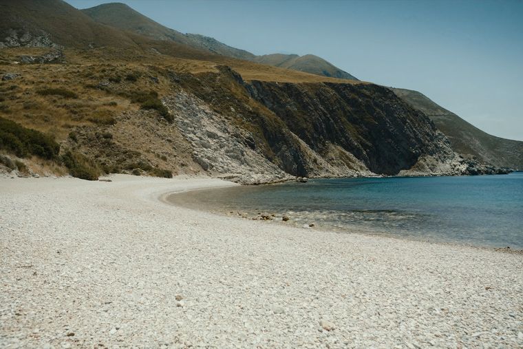
A run of small coves — Bunec, Krorëz and Shpella — below the village of Lukovë.
Еда
Oil from Kalinjot, Kokërrmadh and other local varieties, chiefly from Vlorë, Fier and Berat.
Руководство
Sand in the north and centre, pebble in the south: the single most useful distinction on the coast.
Нашли ошибку на этой странице? Исправления приветствуются и проверяются по исходной записи. Сообщите нам, что именно неверно, и по возможности укажите, откуда взята правильная цифра.