
保護区域 · Shkodër
Theth National Park
The glacial valley park at the heart of the Albanian Alps, merged into a wider protected complex in 2022.
すべての県、すべての海岸、すべての世紀
ガイドビュー
アルバニアを初めて知る方へ。各ページは、詳細に入る前に、10歳の子どもにも読み聞かせられる平易な説明から始まります。
エキスパートビュー
基本知識はすでにお持ちの方向け。平易な説明を非表示にし、内容を直接表示します。これがデフォルトです。
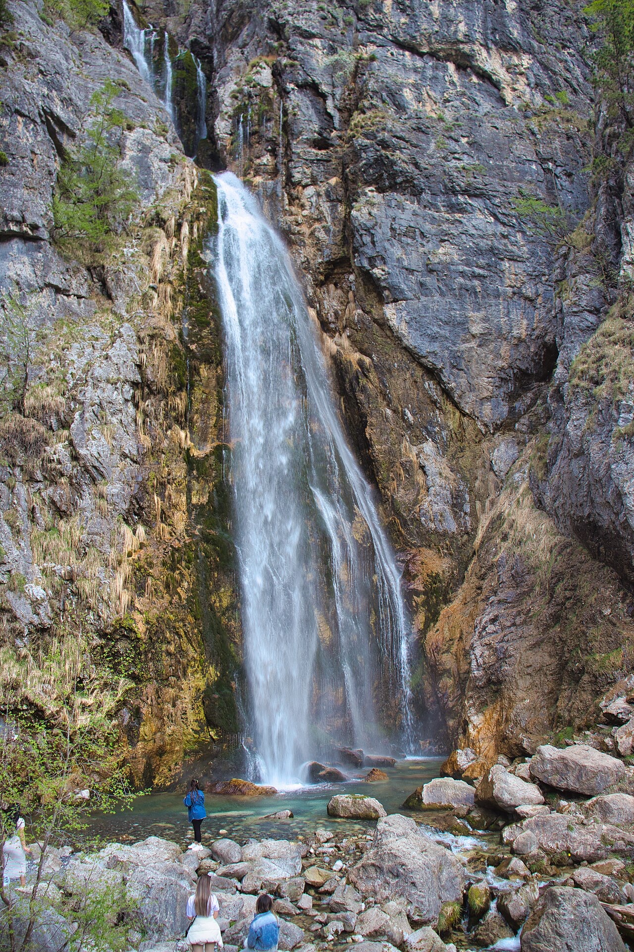
滝 · Shkodër County
A 25–30 m fall in the Theth valley, and a declared natural monument.
保存 スタブ
Grunas is a waterfall in the Theth valley, about 25 to 30 metres high, reached by a walk of roughly an hour from the village.
Grunas is a waterfall in the Theth valley, about 25 to 30 metres high, reached by a walk of roughly an hour from the village.
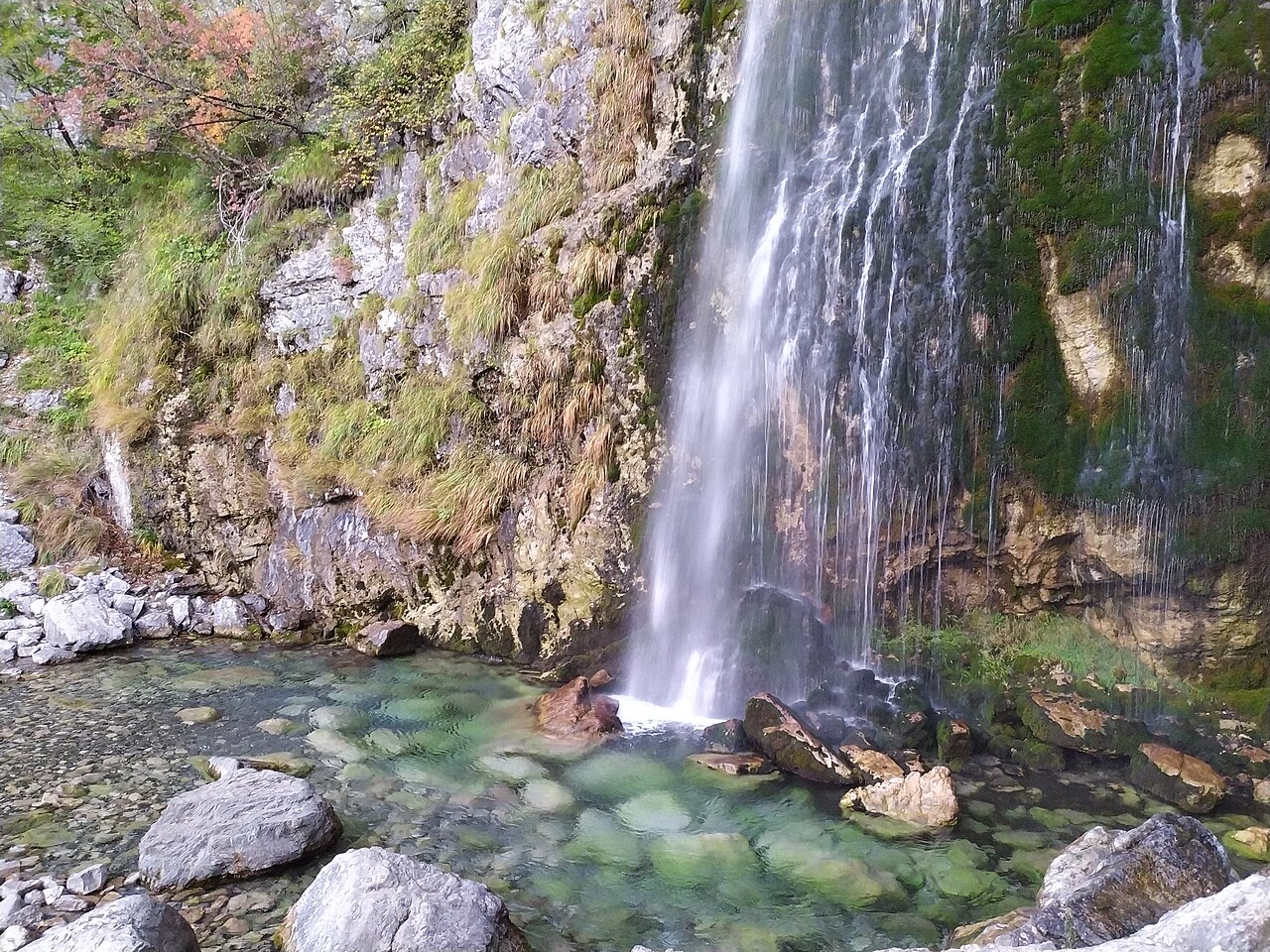
保護区域 · Shkodër
The glacial valley park at the heart of the Albanian Alps, merged into a wider protected complex in 2022.
村 · Shkodër
A glacial valley village in the Albanian Alps: a lock-in tower, a waterfall, and one end of the country's best-known trek.
このページに誤りがありますか? 修正は歓迎しており、原典記録と照合して確認します。何が誤っているか、また可能であれば正しい数値の出典をお知らせください。
