
Protected area · Shkodër
Theth National Park
The glacial valley park at the heart of the Albanian Alps, merged into a wider protected complex in 2022.
Every county, coast and century
Guided view
New to Albania? Every page opens with a plain-language explanation you could read to a ten-year-old, before the detail begins.
Expert view
You already know the basics. Straight to the substance, with the simple explanations hidden. This is the default.
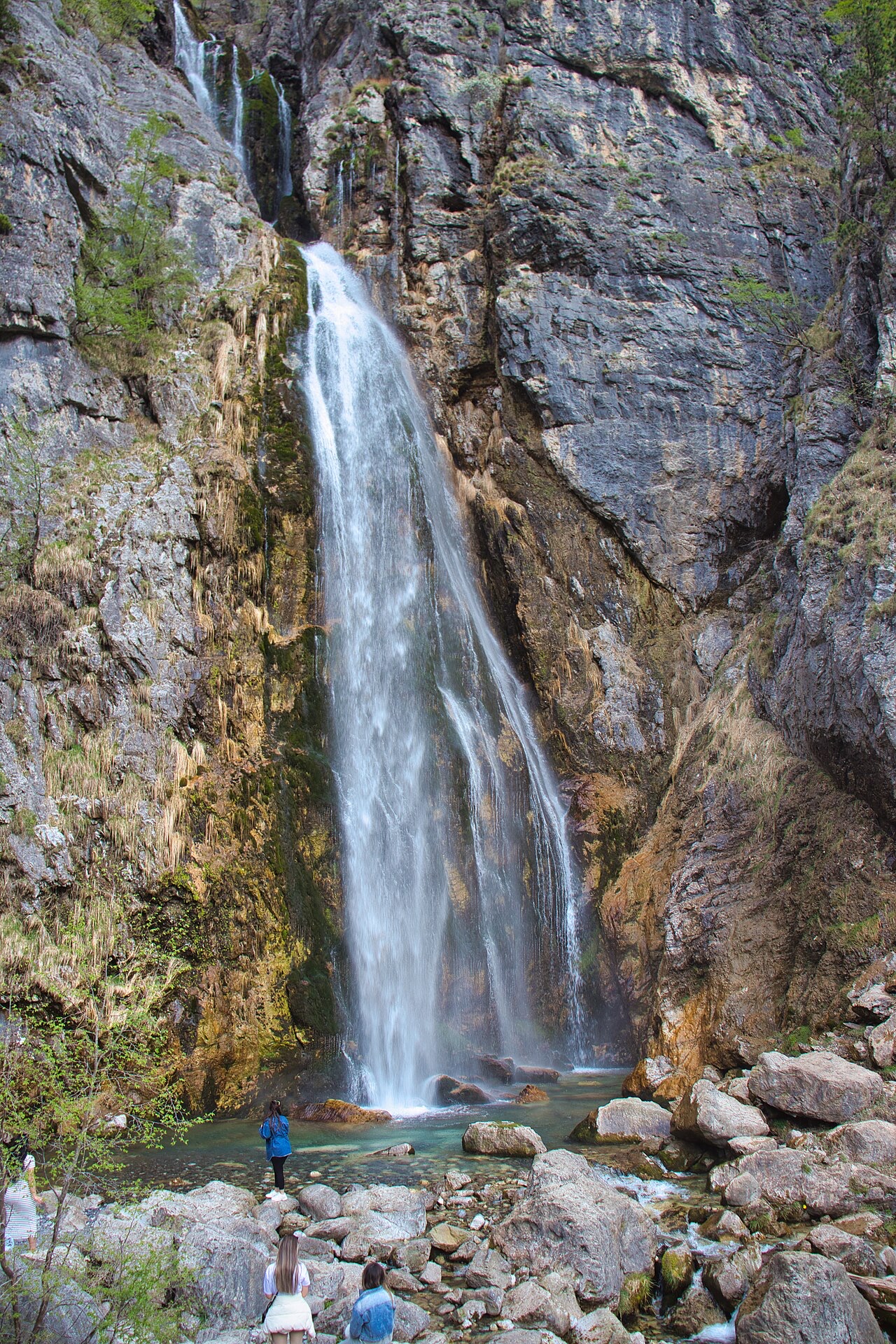
Waterfall · Shkodër County
A 25–30 m fall in the Theth valley, and a declared natural monument.
Save Stub
Grunas is a waterfall in the Theth valley, about 25 to 30 metres high, reached by a walk of roughly an hour from the village.
Grunas is a waterfall in the Theth valley, about 25 to 30 metres high, reached by a walk of roughly an hour from the village.
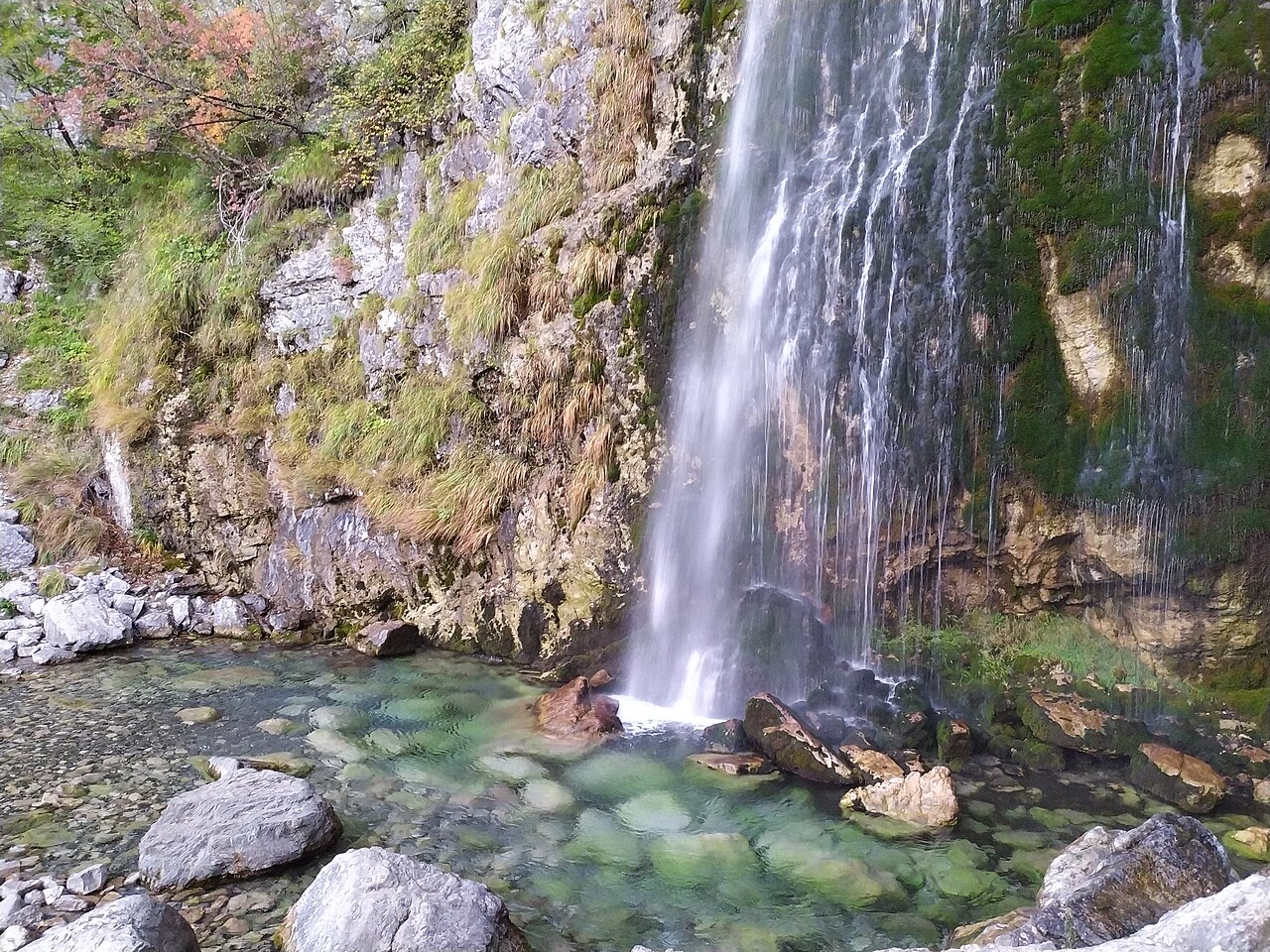
Protected area · Shkodër
The glacial valley park at the heart of the Albanian Alps, merged into a wider protected complex in 2022.
Village · Shkodër
A glacial valley village in the Albanian Alps: a lock-in tower, a waterfall, and one end of the country's best-known trek.
Something wrong on this page? Corrections are welcome and are checked against the source record. Tell us what is wrong and, if you can, where the right figure comes from.
