Città · Shkodër
Shkodër
The cultural capital of the north: a lake, a fortress, a bicycle city and a Catholic heartland.
Ogni contea, ogni costa, ogni secolo
Vista guidata
Non conosci l'Albania? Ogni pagina si apre con una spiegazione in linguaggio semplice, comprensibile anche a un bambino di dieci anni, prima di entrare nei dettagli.
Vista per esperti
Conosci già le basi. Direttamente alla sostanza, con le spiegazioni elementari nascoste. Questa è l'impostazione predefinita.
Villaggio · Shkodër County
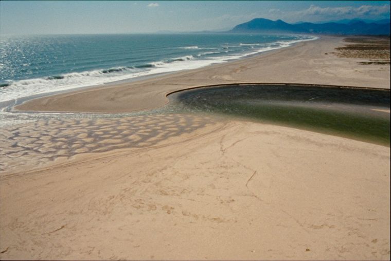
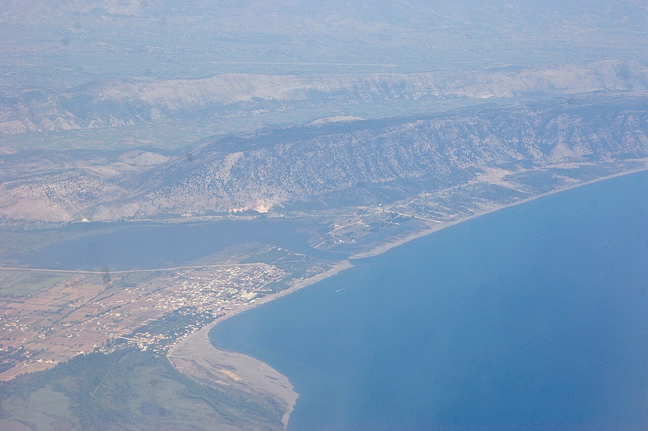
A wide, shallow sand beach at the Buna river mouth, with a protected lagoon reserve.
Salva
Velipojë is a long sandy beach in the far north where the Buna river reaches the sea. The water is shallow, so it is popular with families, and there is a nature reserve next to it.
Velipojë is a long sandy beach in the far north where the Buna river reaches the sea. The water is shallow, so it is popular with families, and there is a nature reserve next to it.
Il mese più caldo è August (massima giornaliera media 29°C), il più freddo è January (minima giornaliera media 4°C), e il più piovoso è November (258 mm). La precipitazione annua totale è in media 1,798 mm. La temperatura del mare raggiunge il picco in agosto, intorno a 26°C.
| Mese | Massima | Minima | Pioggia | Giorni piovosi | Sole/giorno | Mare |
|---|---|---|---|---|---|---|
| January | 10°C | 4°C | 188 mm | 12 | 6.7 h | 13°C |
| February | 12°C | 5°C | 167 mm | 12 | 7.7 h | 12°C |
| March | 14°C | 7°C | 161 mm | 11 | 9.3 h | 14°C |
| April | 17°C | 11°C | 141 mm | 12 | 10.5 h | 15°C |
| May | 22°C | 15°C | 110 mm | 10 | 12.0 h | 19°C |
| June | 26°C | 19°C | 60 mm | 6 | 13.5 h | 24°C |
| July | 29°C | 22°C | 38 mm | 4 | 13.7 h | 26°C |
| August | 29°C | 22°C | 56 mm | 4 | 12.8 h | 26°C |
| September | 25°C | 18°C | 193 mm | 8 | 10.6 h | 24°C |
| October | 20°C | 14°C | 199 mm | 10 | 8.9 h | 22°C |
| November | 16°C | 10°C | 258 mm | 13 | 6.9 h | 19°C |
| December | 12°C | 6°C | 228 mm | 14 | 6.3 h | 15°C |
Fonte: ERA5 reanalysis via Open-Meteo, 1994–2023 · «Massima» e «Minima» sono la temperatura dell'aria massima e minima giornaliera media. «Giorni piovosi» conta i giorni con almeno 1 mm di precipitazione.
Città · Shkodër
The cultural capital of the north: a lake, a fortress, a bicycle city and a Catholic heartland.
Lago · Shkodër
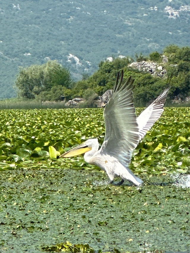
The largest lake in southern Europe, shared with Montenegro and a major bird wintering ground.
Area protetta · Lezhë
Lagoons, pine and one of Albania's few surviving coastal alluvial forests, beside Shëngjin.
Spiaggia · Shkodër
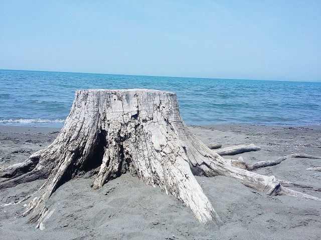
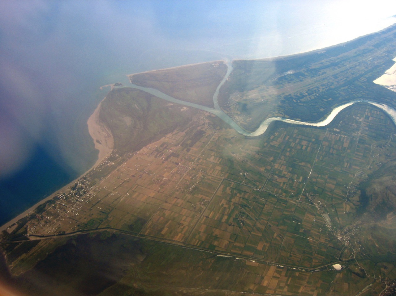
A very shallow, wide sand beach at the Buna delta, beside a protected lagoon.
Città di medie dimensioni · Lezhë
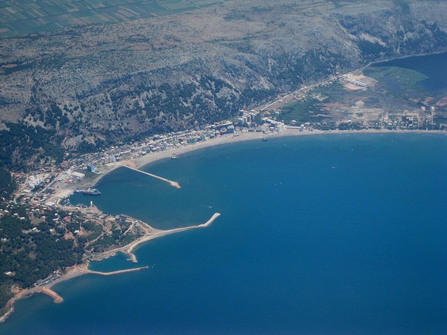
A northern beach resort and small commercial port backed by the Kune-Vain pine lagoons.
Hai notato un errore in questa pagina? Le correzioni sono benvenute e vengono verificate rispetto al record di fonte. Indica cosa è sbagliato e, se possibile, da dove proviene il dato corretto.