Ciudad · Shkodër
Shkodër
The cultural capital of the north: a lake, a fortress, a bicycle city and a Catholic heartland.
Cada condado, cada costa, cada siglo
Vista guiada
¿Nuevo en Albania? Cada página comienza con una explicación en lenguaje sencillo que cualquiera podría entender, antes de entrar en los detalles.
Vista experta
Ya conoces los fundamentos. Directo al contenido, con las explicaciones básicas ocultas. Esta es la vista predeterminada.
Pueblo · Shkodër County
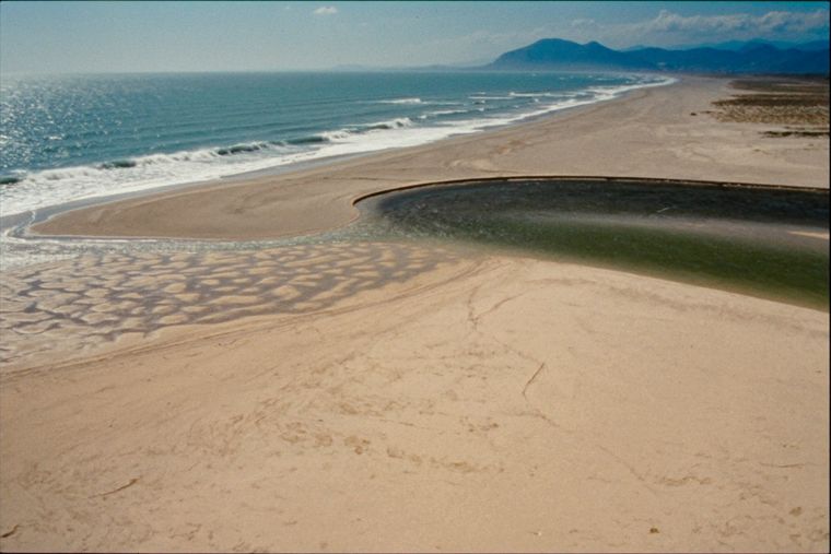
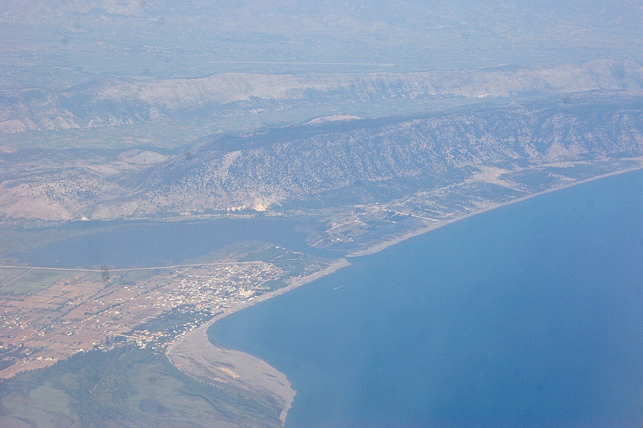
A wide, shallow sand beach at the Buna river mouth, with a protected lagoon reserve.
Guardar
Velipojë is a long sandy beach in the far north where the Buna river reaches the sea. The water is shallow, so it is popular with families, and there is a nature reserve next to it.
Velipojë is a long sandy beach in the far north where the Buna river reaches the sea. The water is shallow, so it is popular with families, and there is a nature reserve next to it.
El mes más cálido es August (máxima diaria media 29°C), el más frío es January (mínima diaria media 4°C), y el más lluvioso es November (258 mm). La precipitación anual total promedia 1,798 mm. La temperatura del mar alcanza su máximo en agosto, en torno a 26°C.
| Mes | Máx. | Mín. | Lluvia | Días de lluvia | Sol/día | Mar |
|---|---|---|---|---|---|---|
| January | 10°C | 4°C | 188 mm | 12 | 6.7 h | 13°C |
| February | 12°C | 5°C | 167 mm | 12 | 7.7 h | 12°C |
| March | 14°C | 7°C | 161 mm | 11 | 9.3 h | 14°C |
| April | 17°C | 11°C | 141 mm | 12 | 10.5 h | 15°C |
| May | 22°C | 15°C | 110 mm | 10 | 12.0 h | 19°C |
| June | 26°C | 19°C | 60 mm | 6 | 13.5 h | 24°C |
| July | 29°C | 22°C | 38 mm | 4 | 13.7 h | 26°C |
| August | 29°C | 22°C | 56 mm | 4 | 12.8 h | 26°C |
| September | 25°C | 18°C | 193 mm | 8 | 10.6 h | 24°C |
| October | 20°C | 14°C | 199 mm | 10 | 8.9 h | 22°C |
| November | 16°C | 10°C | 258 mm | 13 | 6.9 h | 19°C |
| December | 12°C | 6°C | 228 mm | 14 | 6.3 h | 15°C |
Fuente: ERA5 reanalysis via Open-Meteo, 1994–2023 · «Máx.» y «Mín.» son la temperatura del aire máxima y mínima diaria media. «Días de lluvia» cuenta los días con al menos 1 mm de precipitación.
Ciudad · Shkodër
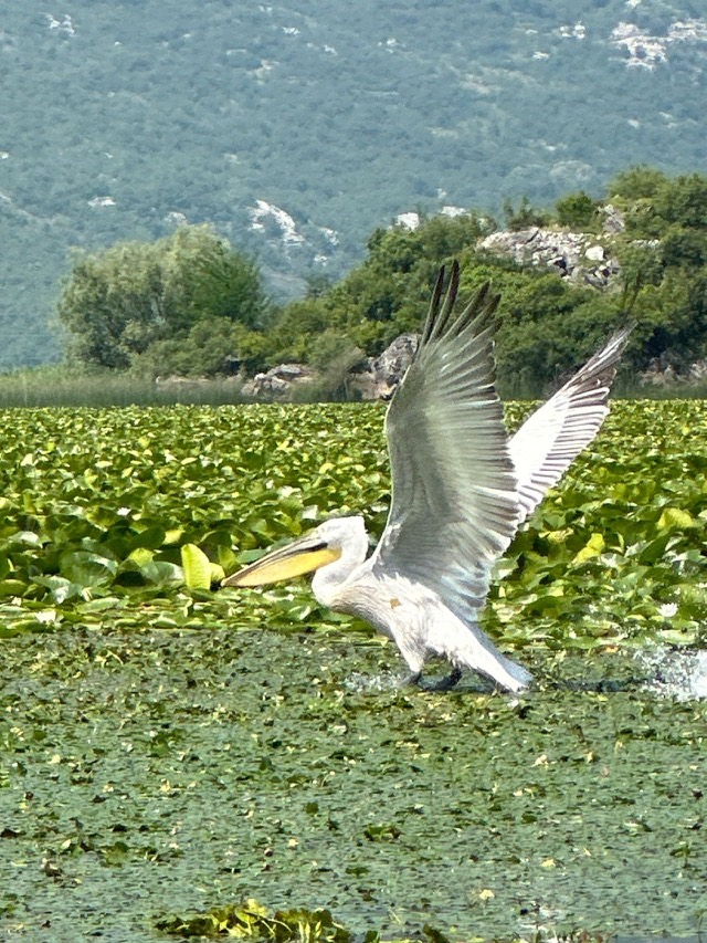
The cultural capital of the north: a lake, a fortress, a bicycle city and a Catholic heartland.
Lago · Shkodër
The largest lake in southern Europe, shared with Montenegro and a major bird wintering ground.
Área protegida · Lezhë
Lagoons, pine and one of Albania's few surviving coastal alluvial forests, beside Shëngjin.
Playa · Shkodër
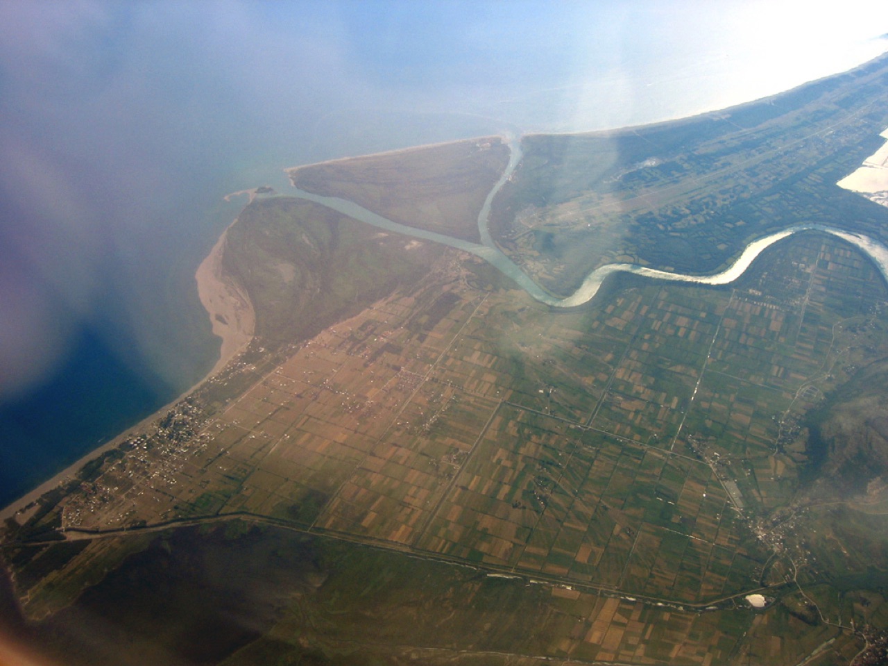
A very shallow, wide sand beach at the Buna delta, beside a protected lagoon.
Localidad · Lezhë
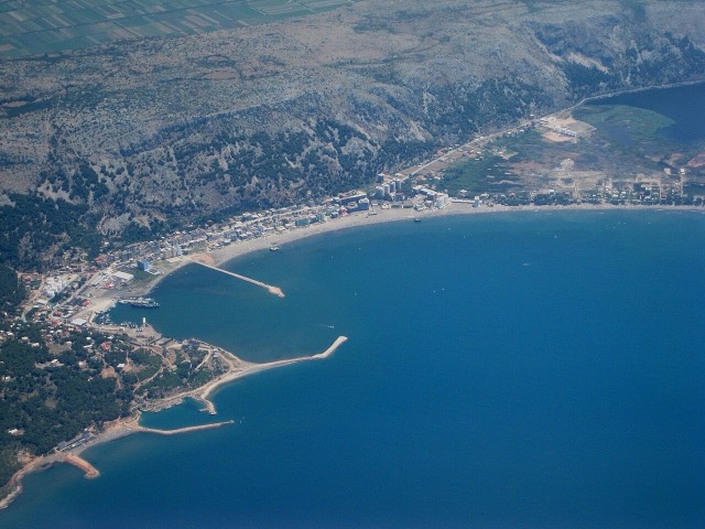
A northern beach resort and small commercial port backed by the Kune-Vain pine lagoons.
¿Algo incorrecto en esta página? Las correcciones son bienvenidas y se contrastan con el registro fuente. Indíquenos qué es incorrecto y, si puede, de dónde procede el dato correcto.