City · Shkodër
Shkodër
The cultural capital of the north: a lake, a fortress, a bicycle city and a Catholic heartland.
Every county, coast and century
Guided view
New to Albania? Every page opens with a plain-language explanation you could read to a ten-year-old, before the detail begins.
Expert view
You already know the basics. Straight to the substance, with the simple explanations hidden. This is the default.
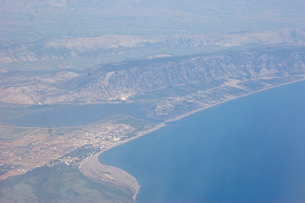
Village · Shkodër County
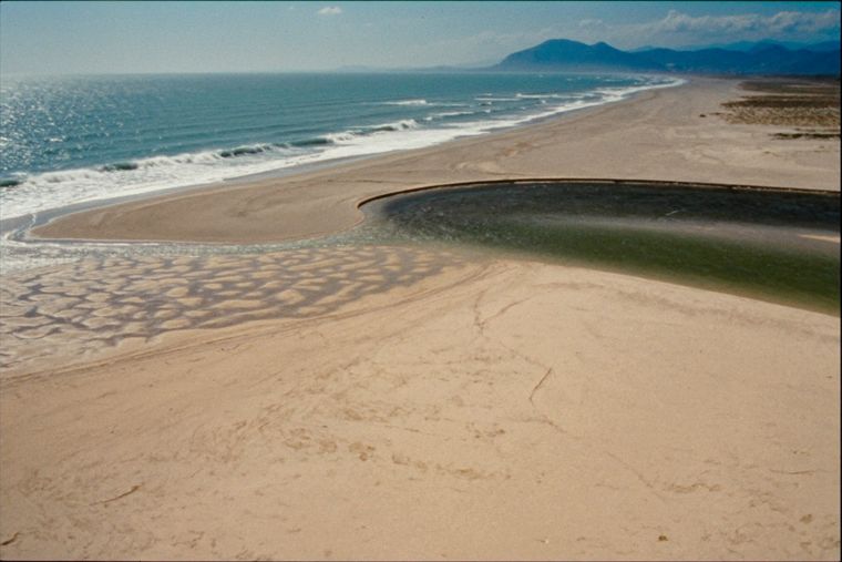
A wide, shallow sand beach at the Buna river mouth, with a protected lagoon reserve.
Save
Velipojë is a long sandy beach in the far north where the Buna river reaches the sea. The water is shallow, so it is popular with families, and there is a nature reserve next to it.
Velipojë is a long sandy beach in the far north where the Buna river reaches the sea. The water is shallow, so it is popular with families, and there is a nature reserve next to it.
The warmest month is August (mean daily high 29°C), the coldest is January (mean daily low 4°C), and the wettest is November (258 mm). Total annual rainfall averages 1,798 mm. Sea temperature peaks in August at about 26°C.
| Month | High | Low | Rain | Wet days | Sun/day | Sea |
|---|---|---|---|---|---|---|
| January | 10°C | 4°C | 188 mm | 12 | 6.7 h | 13°C |
| February | 12°C | 5°C | 167 mm | 12 | 7.7 h | 12°C |
| March | 14°C | 7°C | 161 mm | 11 | 9.3 h | 14°C |
| April | 17°C | 11°C | 141 mm | 12 | 10.5 h | 15°C |
| May | 22°C | 15°C | 110 mm | 10 | 12.0 h | 19°C |
| June | 26°C | 19°C | 60 mm | 6 | 13.5 h | 24°C |
| July | 29°C | 22°C | 38 mm | 4 | 13.7 h | 26°C |
| August | 29°C | 22°C | 56 mm | 4 | 12.8 h | 26°C |
| September | 25°C | 18°C | 193 mm | 8 | 10.6 h | 24°C |
| October | 20°C | 14°C | 199 mm | 10 | 8.9 h | 22°C |
| November | 16°C | 10°C | 258 mm | 13 | 6.9 h | 19°C |
| December | 12°C | 6°C | 228 mm | 14 | 6.3 h | 15°C |
Source: ERA5 reanalysis via Open-Meteo, 1994–2023 · “High” and “Low” are mean daily maximum and minimum air temperature. “Wet days” counts days with at least 1 mm of precipitation.
City · Shkodër
The cultural capital of the north: a lake, a fortress, a bicycle city and a Catholic heartland.
Lake · Shkodër
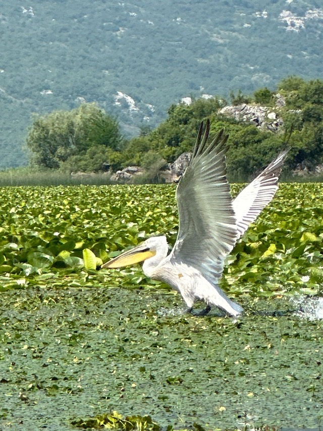
The largest lake in southern Europe, shared with Montenegro and a major bird wintering ground.
Protected area · Lezhë
Lagoons, pine and one of Albania's few surviving coastal alluvial forests, beside Shëngjin.
Beach · Shkodër
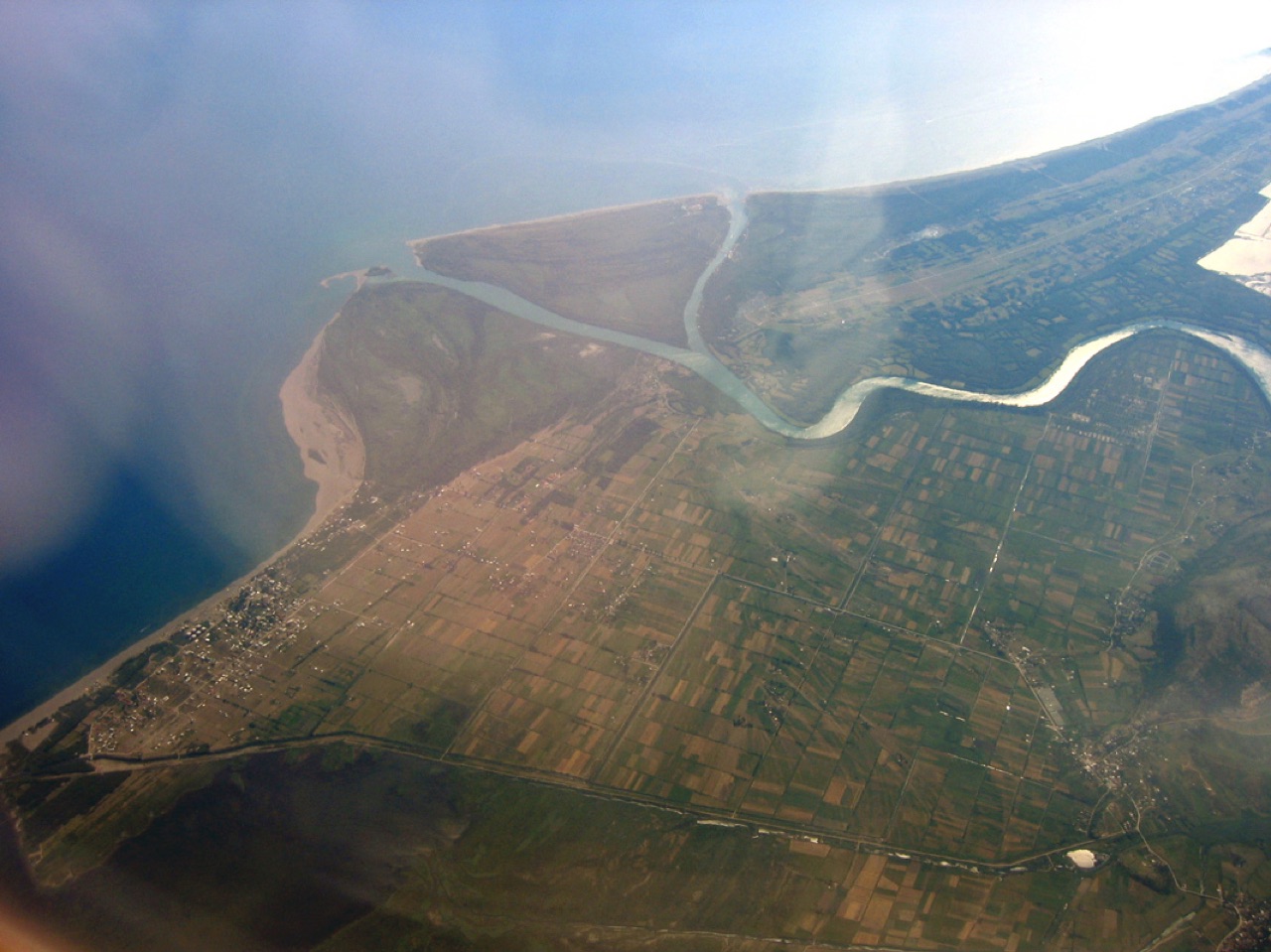
A very shallow, wide sand beach at the Buna delta, beside a protected lagoon.
Town · Lezhë
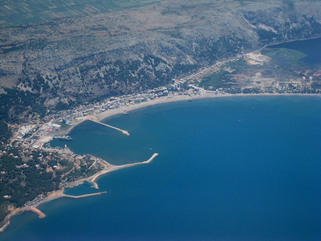
A northern beach resort and small commercial port backed by the Kune-Vain pine lagoons.
Something wrong on this page? Corrections are welcome and are checked against the source record. Tell us what is wrong and, if you can, where the right figure comes from.