Stadt · Shkodër
Shkodër
The cultural capital of the north: a lake, a fortress, a bicycle city and a Catholic heartland.
Jeder Kreis, jede Küste, jedes Jahrhundert
Geführte Ansicht
Neu in Albanien? Jede Seite beginnt mit einer einfachen Erklärung, die auch ein Zehnjähriger verstehen würde – bevor es ins Detail geht.
Expertenansicht
Sie kennen die Grundlagen bereits. Direkt zur Substanz, ohne die vereinfachten Erklärungen. Dies ist die Standardeinstellung.
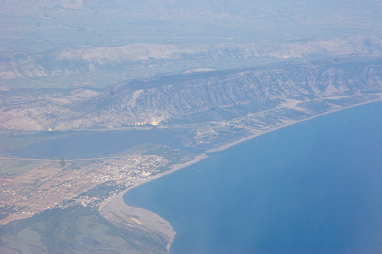
Dorf · Shkodër County
A wide, shallow sand beach at the Buna river mouth, with a protected lagoon reserve.
Speichern
Velipojë is a long sandy beach in the far north where the Buna river reaches the sea. The water is shallow, so it is popular with families, and there is a nature reserve next to it.
Velipojë is a long sandy beach in the far north where the Buna river reaches the sea. The water is shallow, so it is popular with families, and there is a nature reserve next to it.
Der wärmste Monat ist August (mittleres tägliches Maximum 29°C), der kälteste ist January (mittleres tägliches Minimum 4°C), und der regenreichste ist November (258 mm). Der mittlere jährliche Gesamtniederschlag beträgt 1,798 mm. Die Meerestemperatur erreicht im August einen Höchstwert von etwa 26°C.
| Monat | Maximum | Minimum | Niederschlag | Regentage | Sonne/Tag | Meer |
|---|---|---|---|---|---|---|
| January | 10°C | 4°C | 188 mm | 12 | 6.7 h | 13°C |
| February | 12°C | 5°C | 167 mm | 12 | 7.7 h | 12°C |
| March | 14°C | 7°C | 161 mm | 11 | 9.3 h | 14°C |
| April | 17°C | 11°C | 141 mm | 12 | 10.5 h | 15°C |
| May | 22°C | 15°C | 110 mm | 10 | 12.0 h | 19°C |
| June | 26°C | 19°C | 60 mm | 6 | 13.5 h | 24°C |
| July | 29°C | 22°C | 38 mm | 4 | 13.7 h | 26°C |
| August | 29°C | 22°C | 56 mm | 4 | 12.8 h | 26°C |
| September | 25°C | 18°C | 193 mm | 8 | 10.6 h | 24°C |
| October | 20°C | 14°C | 199 mm | 10 | 8.9 h | 22°C |
| November | 16°C | 10°C | 258 mm | 13 | 6.9 h | 19°C |
| December | 12°C | 6°C | 228 mm | 14 | 6.3 h | 15°C |
Quelle: ERA5 reanalysis via Open-Meteo, 1994–2023 · „Maximum" und „Minimum" sind das mittlere tägliche Temperaturmaximum bzw. -minimum. „Regentage" zählt Tage mit mindestens 1 mm Niederschlag.
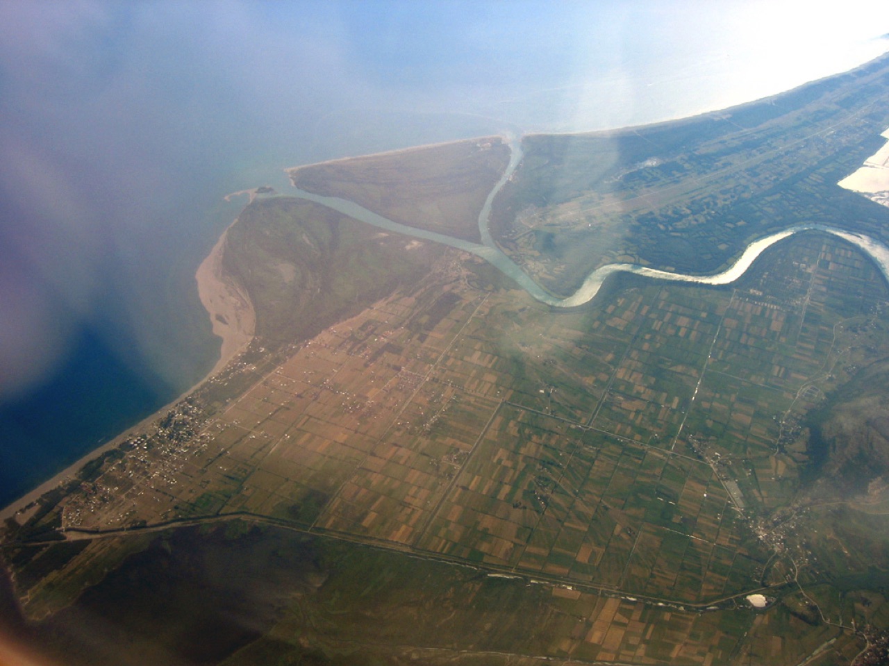
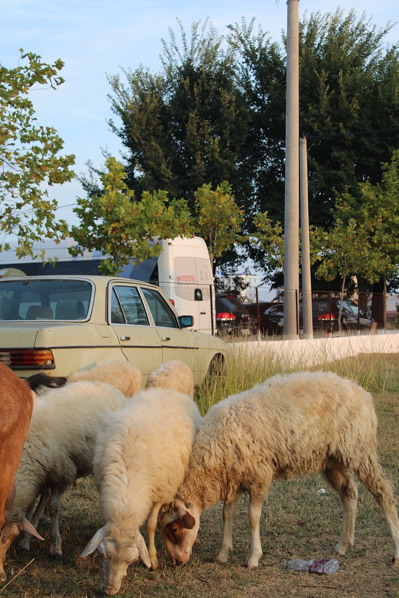
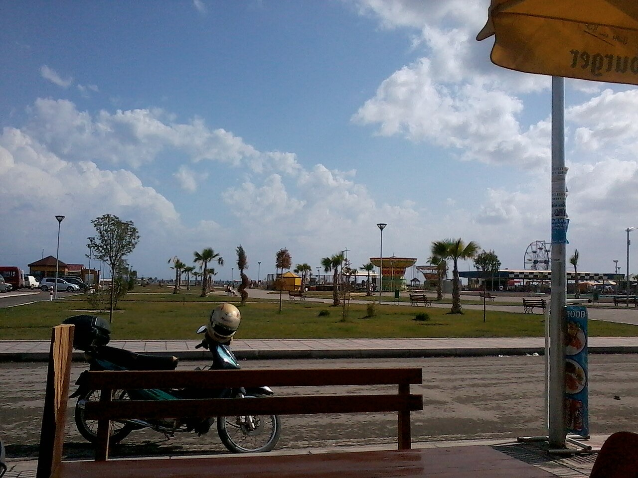
Stadt · Shkodër
The cultural capital of the north: a lake, a fortress, a bicycle city and a Catholic heartland.
See · Shkodër
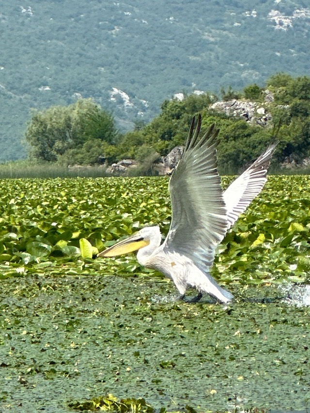
The largest lake in southern Europe, shared with Montenegro and a major bird wintering ground.
Schutzgebiet · Lezhë
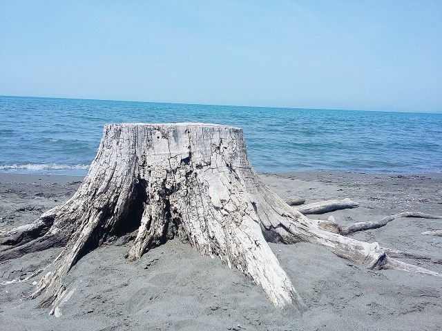
Lagoons, pine and one of Albania's few surviving coastal alluvial forests, beside Shëngjin.
Strand · Shkodër
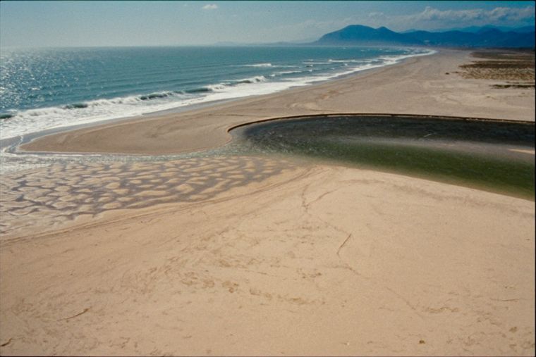
A very shallow, wide sand beach at the Buna delta, beside a protected lagoon.
Kleinstadt · Lezhë
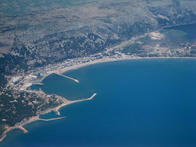
A northern beach resort and small commercial port backed by the Kune-Vain pine lagoons.
Etwas falsch auf dieser Seite? Korrekturen sind willkommen und werden gegen den Quelldatensatz geprüft. Bitte mitteilen, was falsch ist und, wenn möglich, woher die richtige Angabe stammt.