城市 · Shkodër
Shkodër
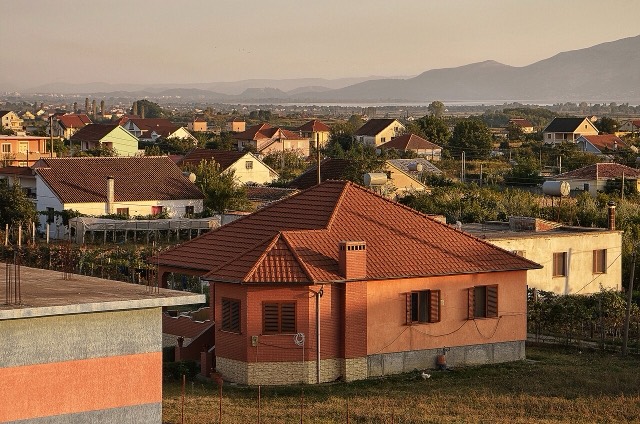
The cultural capital of the north: a lake, a fortress, a bicycle city and a Catholic heartland.
每个县、每段海岸、每个世纪
引导视图
初次了解阿尔巴尼亚?每个页面均以通俗易懂的说明开篇——即便是十岁的孩子也能读懂——随后再展开详细内容。
专业视图
您已掌握基础知识。直接进入正题,简明解释默认隐藏。此为默认模式。
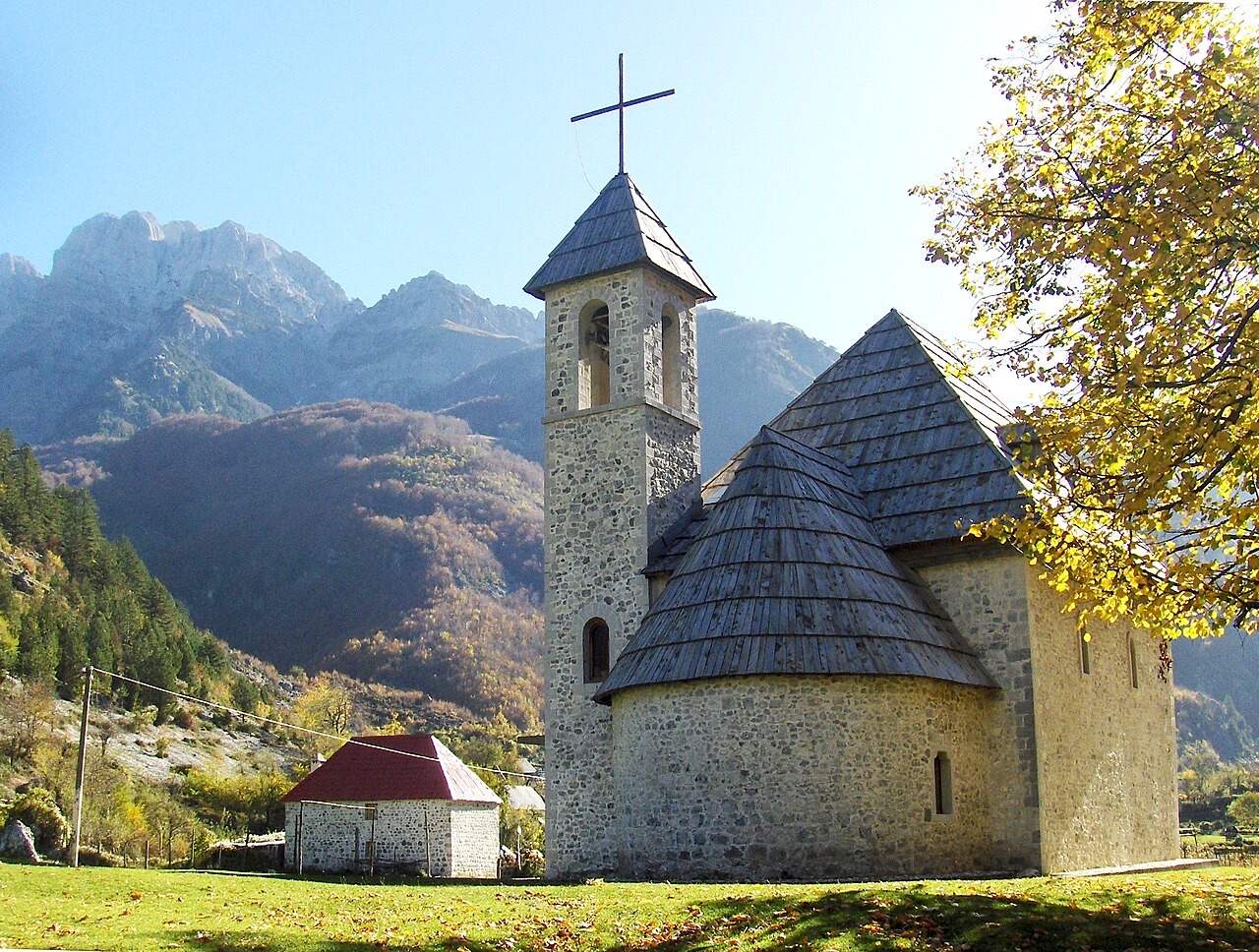
村庄 · Shkodër County
A glacial valley village in the Albanian Alps: a lock-in tower, a waterfall, and one end of the country's best-known trek.
保存
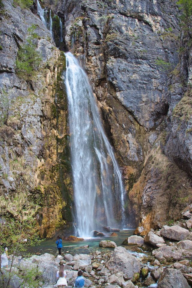
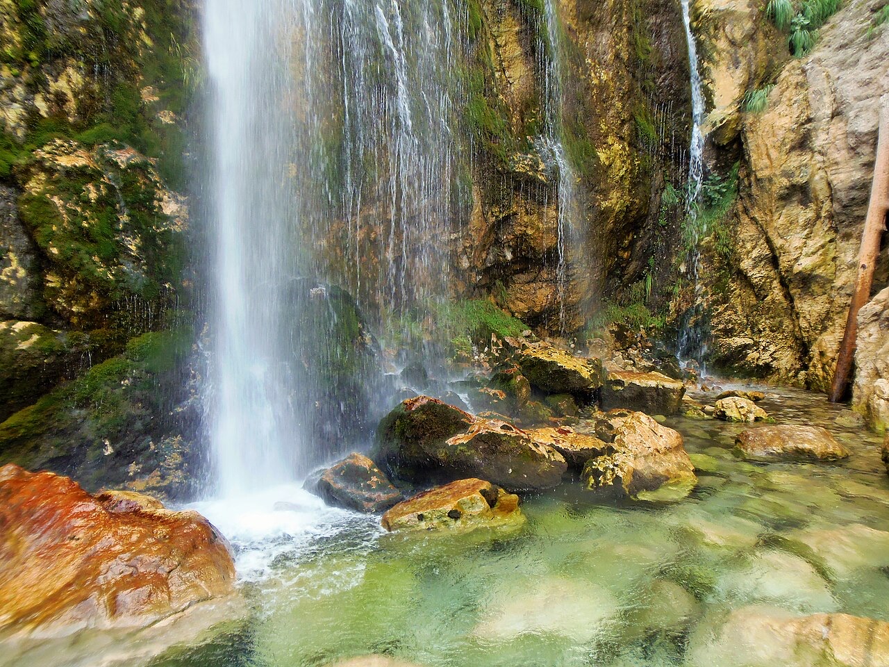
Theth is a village deep in the northern mountains. It has a small stone church, a waterfall, and a tower where men used to hide during blood feuds. A famous walking path crosses the mountains from here to Valbona.
Theth is a village deep in the northern mountains. It has a small stone church, a waterfall, and a tower where men used to hide during blood feuds. A famous walking path crosses the mountains from here to Valbona.
最热月份为 August (日最高气温均值 26°C), 最冷月份为 January (日最低气温均值 -2°C), 降水最多的月份为 December (272 mm). 年均降雨总量为 1,946 mm.
| 月份 | 最高气温 | 最低气温 | 降雨量 | 降雨天数 | 日照时长 |
|---|---|---|---|---|---|
| January | 5°C | -2°C | 211 mm | 14 | 6.0 h |
| February | 6°C | -1°C | 190 mm | 13 | 7.0 h |
| March | 9°C | 1°C | 184 mm | 13 | 8.6 h |
| April | 13°C | 5°C | 156 mm | 16 | 9.7 h |
| May | 19°C | 10°C | 138 mm | 18 | 11.3 h |
| June | 23°C | 14°C | 92 mm | 16 | 13.0 h |
| July | 26°C | 16°C | 80 mm | 12 | 13.4 h |
| August | 26°C | 17°C | 66 mm | 12 | 12.5 h |
| September | 21°C | 13°C | 141 mm | 12 | 10.0 h |
| October | 17°C | 9°C | 156 mm | 11 | 8.4 h |
| November | 12°C | 5°C | 260 mm | 13 | 6.2 h |
| December | 6°C | 0°C | 272 mm | 14 | 5.6 h |
数据来源: ERA5 reanalysis via Open-Meteo, 1994–2023 · "最高气温"与"最低气温"分别为日最高和日最低气温均值。"降雨天数"统计降水量不低于 1 毫米的天数。
![Title: A chief of Thethi, Tribe of Shale [i.e. Shala], Albania Abstract/medium: 1 photographic print.](/static/img/photos/theth-4.jpg)
城市 · Shkodër
The cultural capital of the north: a lake, a fortress, a bicycle city and a Catholic heartland.
河流 · Shkodër
A tributary of the Drin above Koman, reached by boat and often called Albania's Thailand.
保护区 · Shkodër
The glacial valley park at the heart of the Albanian Alps, merged into a wider protected complex in 2022.
保护区 · Kukës
A broad U-shaped glacial valley of white gravel and beech forest under the Alps' highest peaks.
山脉 · Shkodër
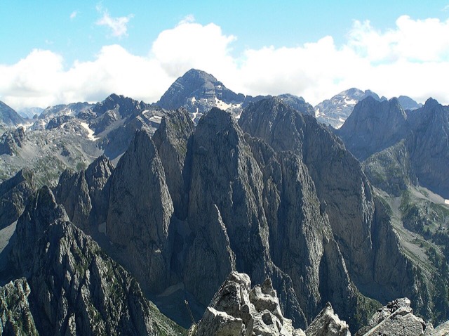
The limestone wall of the far north — locally the Accursed Mountains — shared with Montenegro and Kosovo.
山峰 · Shkodër
At 2,694 m the highest peak entirely inside the Dinaric Alps, deep in the Albanian Alps.
城镇 · Shkodër
The seat of Malësi e Madhe, at the foot of the Alps near the Montenegrin border.
饮食
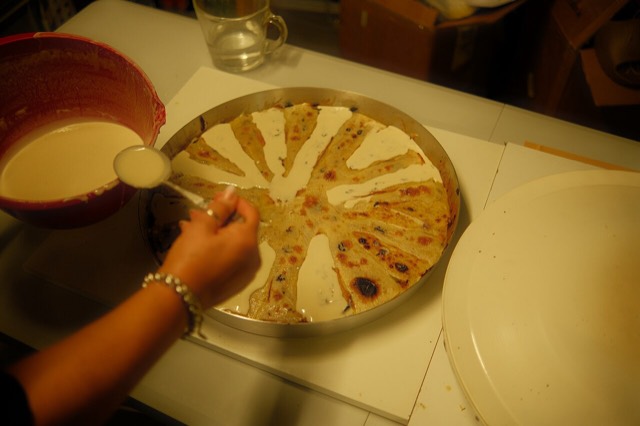
Concentric crepe layers built up one at a time under a hot metal lid — a northern highland dish that takes hours.
主题
A body of customary law, best known in the Lekë Dukagjini recension, that governed the northern highlands for centuries.
指南
The Alps, the Koman ferry and the Shkodër lake country: the part of Albania least like the coast.
指南
Albania's best-known walk: roughly 17 km over a 1,795 m pass, six to eight hours, June to October.
专题解析
A body of customary law that governed the northern highlands for centuries — and the part of it that everyone has heard of.
本页内容有误? 欢迎提交更正意见,所有意见均会与原始记录核对。请告知错误所在,如能提供正确数据的出处,请一并注明。