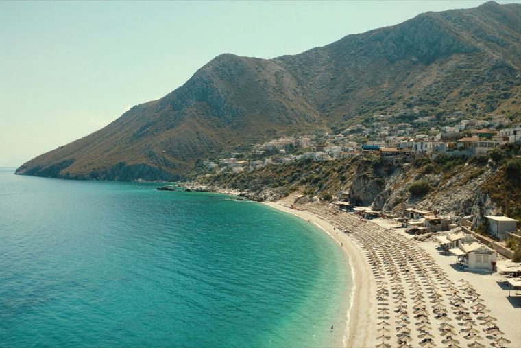
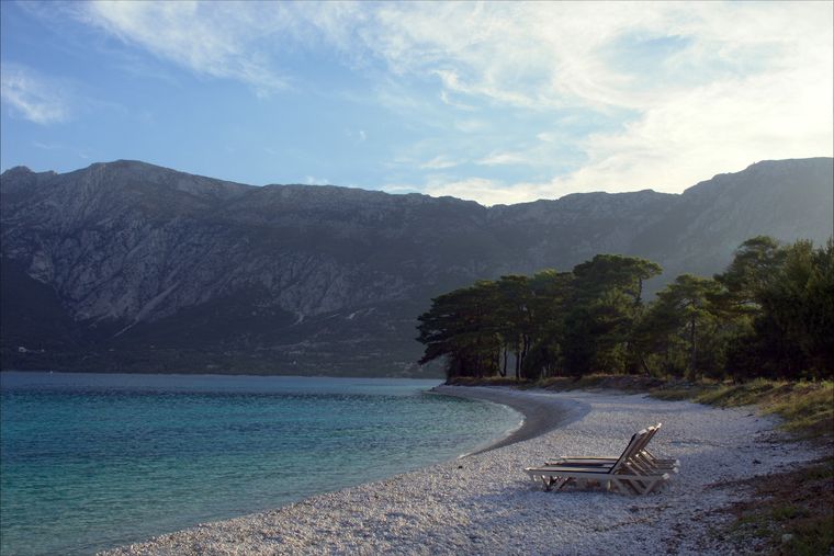
Cordilheira · Vlorë
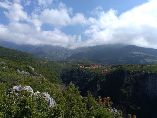
Ceraunian Mountains
The coastal ridge that makes the Riviera: 2,000 m peaks rising directly out of the Ionian.
Cada condado, cada costa, cada século
Vista guiada
Novo na Albânia? Cada página começa com uma explicação em linguagem simples, acessível a uma criança de dez anos, antes de entrar em pormenor.
Vista para especialistas
Já conhece o essencial. Direto ao conteúdo, com as explicações simples ocultadas. Esta é a vista predefinida.
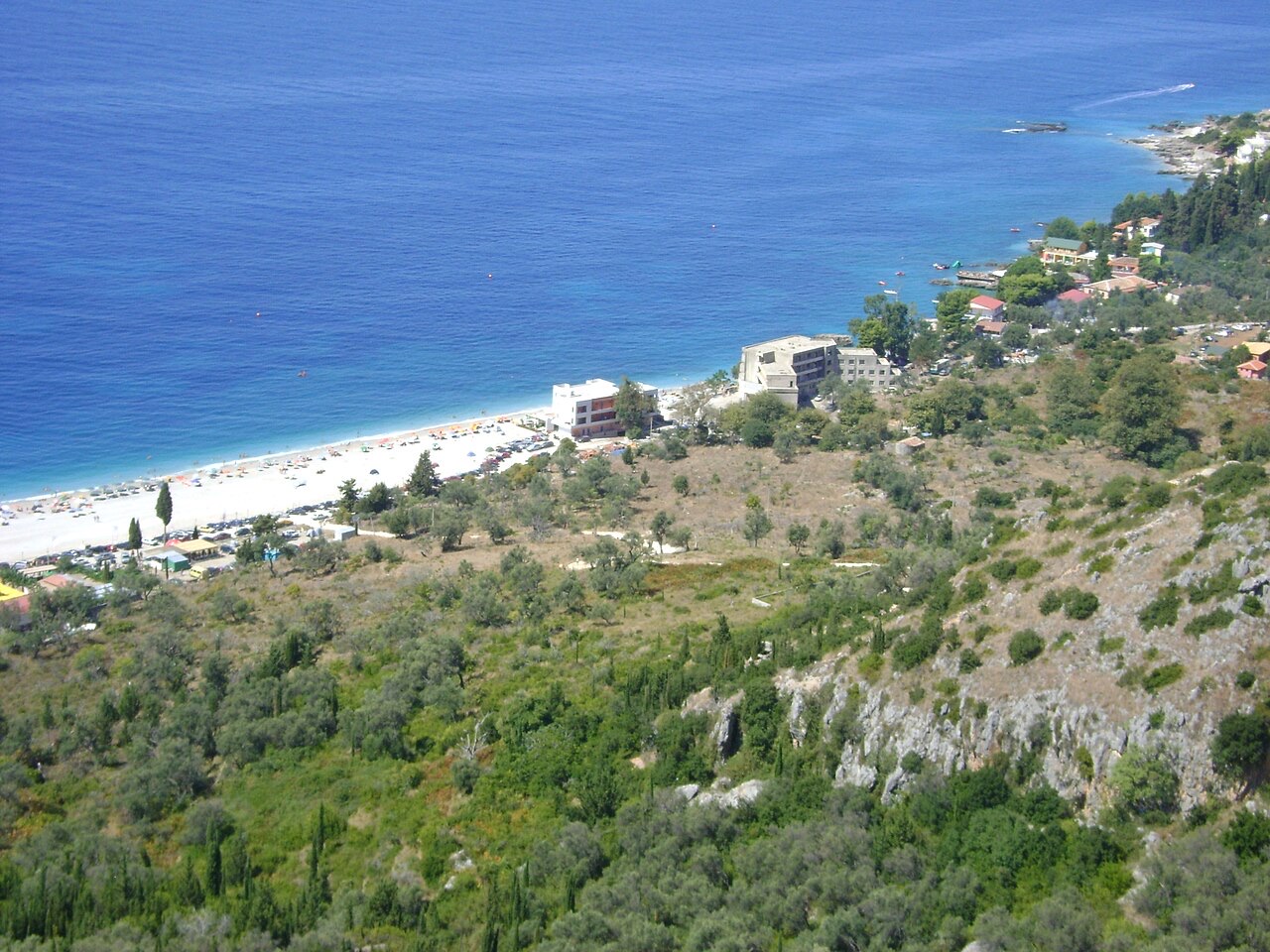
Aldeia · Vlorë County
An old white village on the slope above one of the Riviera's longest pebble beaches.
Guardar
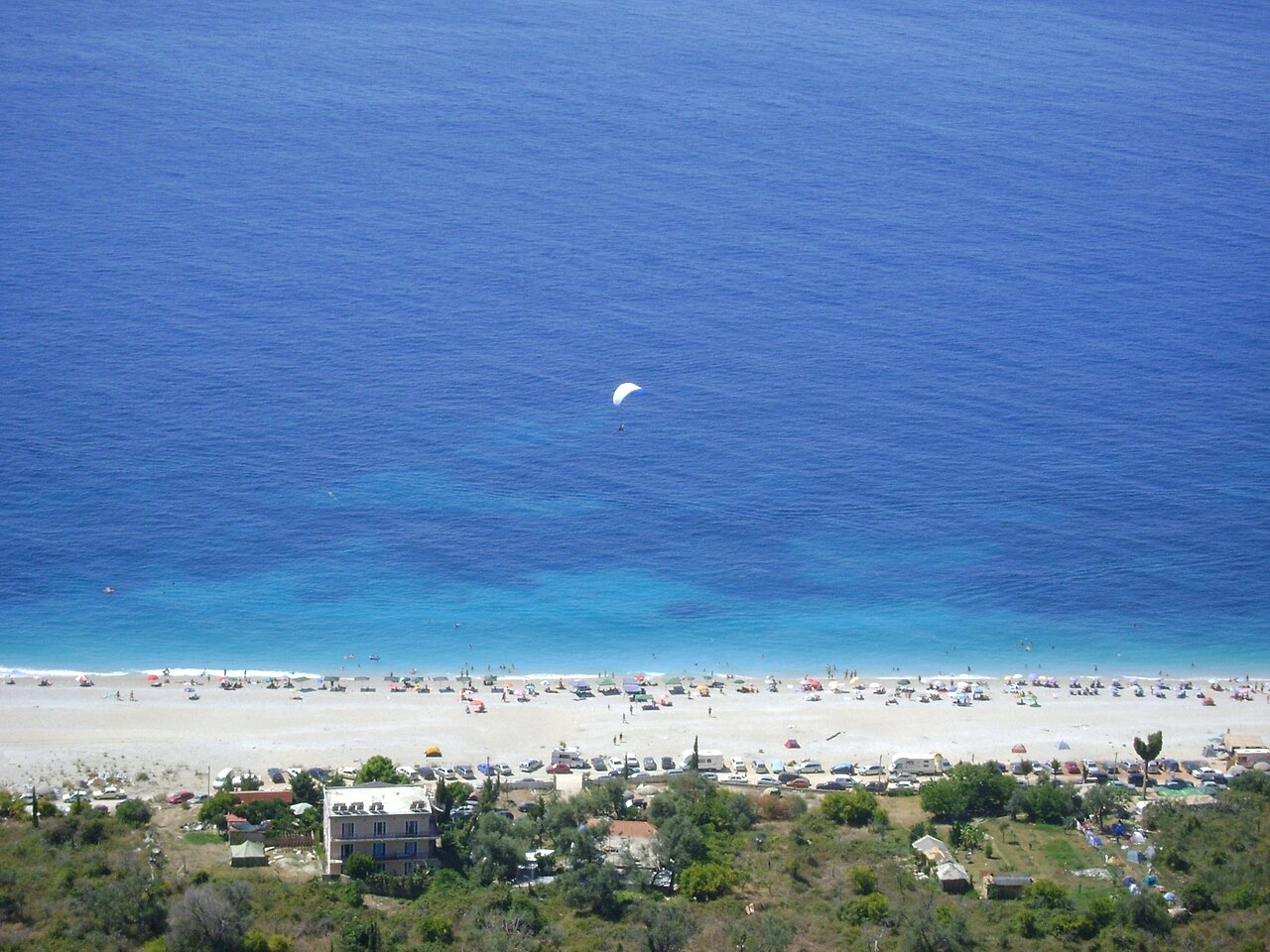
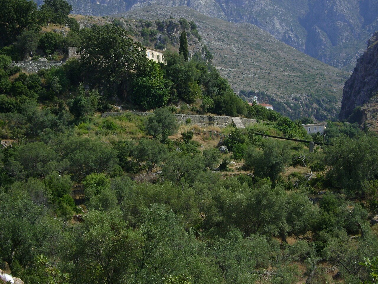
Dhërmi has two parts: an old stone village up the hillside with narrow lanes and churches, and a long pebble beach below with bars and hotels.
Dhërmi has two parts: an old stone village up the hillside with narrow lanes and churches, and a long pebble beach below with bars and hotels.
O mês mais quente é August (temperatura máxima média diária 30°C), o mais frio é January (temperatura mínima média diária 6°C), e o mais chuvoso é November (255 mm). A precipitação total anual média é 1,652 mm. A temperatura do mar atinge o máximo em agosto, com cerca de 26°C.
| Mês | Máx. | Mín. | Chuva | Dias com chuva | Sol/dia | Mar |
|---|---|---|---|---|---|---|
| January | 12°C | 6°C | 190 mm | 13 | 7.1 h | 17°C |
| February | 12°C | 6°C | 163 mm | 12 | 8.0 h | 15°C |
| March | 14°C | 8°C | 156 mm | 13 | 9.5 h | 15°C |
| April | 18°C | 10°C | 117 mm | 14 | 10.8 h | 16°C |
| May | 22°C | 15°C | 93 mm | 12 | 12.1 h | 19°C |
| June | 26°C | 19°C | 59 mm | 8 | 13.6 h | 24°C |
| July | 29°C | 22°C | 30 mm | 6 | 13.8 h | 26°C |
| August | 30°C | 22°C | 39 mm | 6 | 12.9 h | 26°C |
| September | 25°C | 18°C | 138 mm | 11 | 10.7 h | 26°C |
| October | 21°C | 15°C | 173 mm | 11 | 9.2 h | 25°C |
| November | 17°C | 11°C | 255 mm | 14 | 7.1 h | 21°C |
| December | 13°C | 8°C | 238 mm | 14 | 6.5 h | 18°C |
Fonte: ERA5 reanalysis via Open-Meteo, 1994–2023 · "Máx." e "Mín." são as temperaturas do ar máxima e mínima médias diárias. "Dias com chuva" conta os dias com pelo menos 1 mm de precipitação.
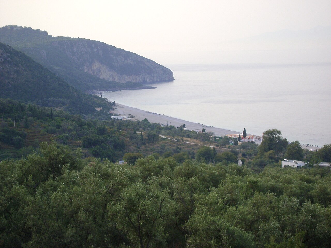
Cordilheira · Vlorë
The coastal ridge that makes the Riviera: 2,000 m peaks rising directly out of the Ionian.
Vila · Vlorë
The centre of the Riviera coast: a Greek-speaking historical community, an old hill village and a string of coves.
Área protegida · Vlorë
A pine-forested pass at 1,027 m where the road drops from mountain forest to the Ionian in a few kilometres.
Praia · Vlorë
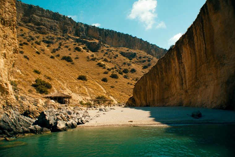
A pebble beach at the mouth of a limestone canyon, reachable only on foot or by boat.
Assunto · Vlorë
The 120 km of Ionian coast between the Llogara pass and Sarandë, where the Ceraunian mountains fall straight into the sea.
Canyon · Vlorë
A narrow limestone slot that meets the sea at Gjipe beach — the Riviera's one true canyon.
Estrada · Vlorë
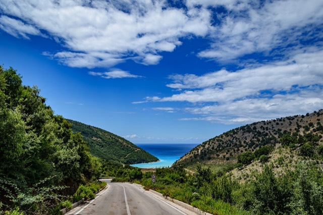
The single road along the Albanian Riviera, over the Llogara pass and down the Ionian coast.
Praia · Vlorë
A long white pebble shore under the Ceraunian ridge, and the Riviera's main nightlife strip.
Praia · Vlorë
The pine-backed northern half of the Dhërmi bay, slightly quieter than the main strip.
Algo errado nesta página? As correções são bem-vindas e verificadas em confronto com o registo de origem. Indique o que está errado e, se possível, de onde provém o valor correto.