산맥 · Vlorë
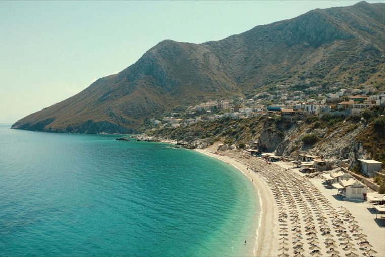
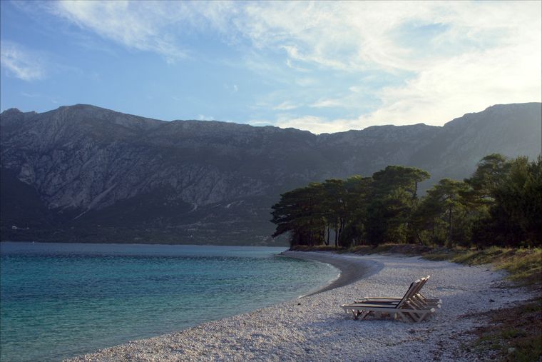
Ceraunian Mountains
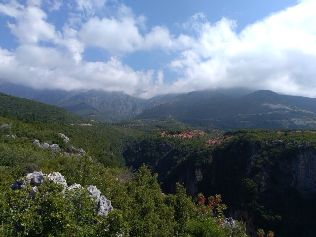
The coastal ridge that makes the Riviera: 2,000 m peaks rising directly out of the Ionian.
모든 주, 모든 해안, 모든 세기
안내 보기
알바니아가 처음이신가요? 모든 페이지는 세부 내용이 시작되기 전에, 열 살짜리 아이도 이해할 수 있는 평이한 설명으로 시작됩니다.
전문가 보기
기본 내용은 이미 알고 계신가요? 간단한 설명은 숨기고 핵심 내용만 바로 확인하세요. 이것이 기본 설정입니다.
마을 · Vlorë County
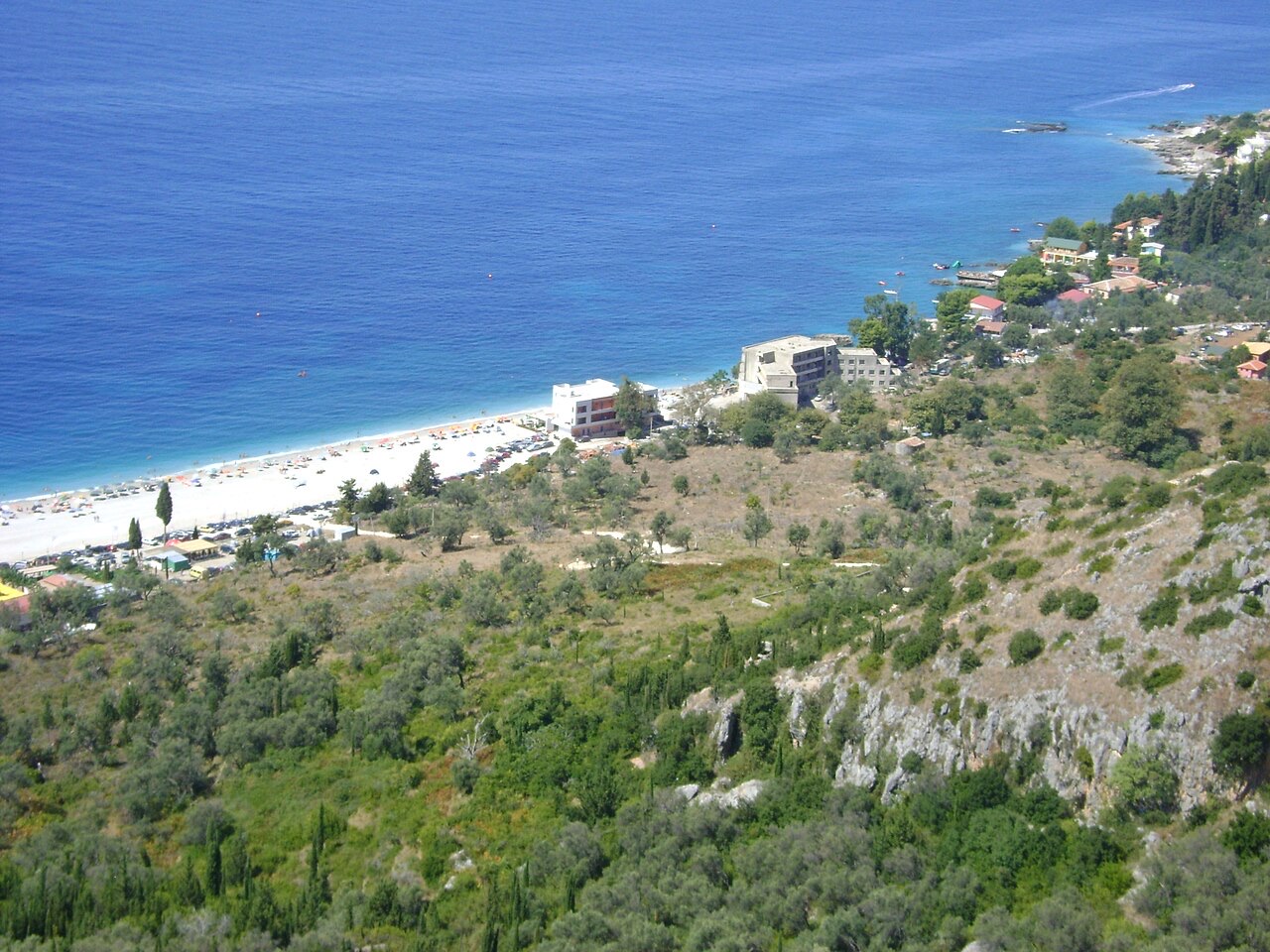
An old white village on the slope above one of the Riviera's longest pebble beaches.
저장
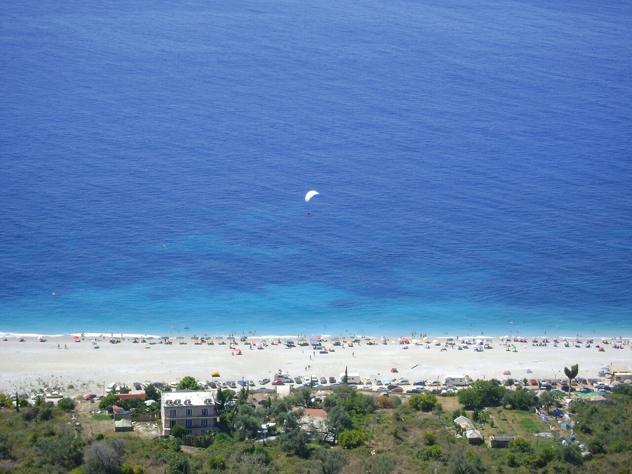
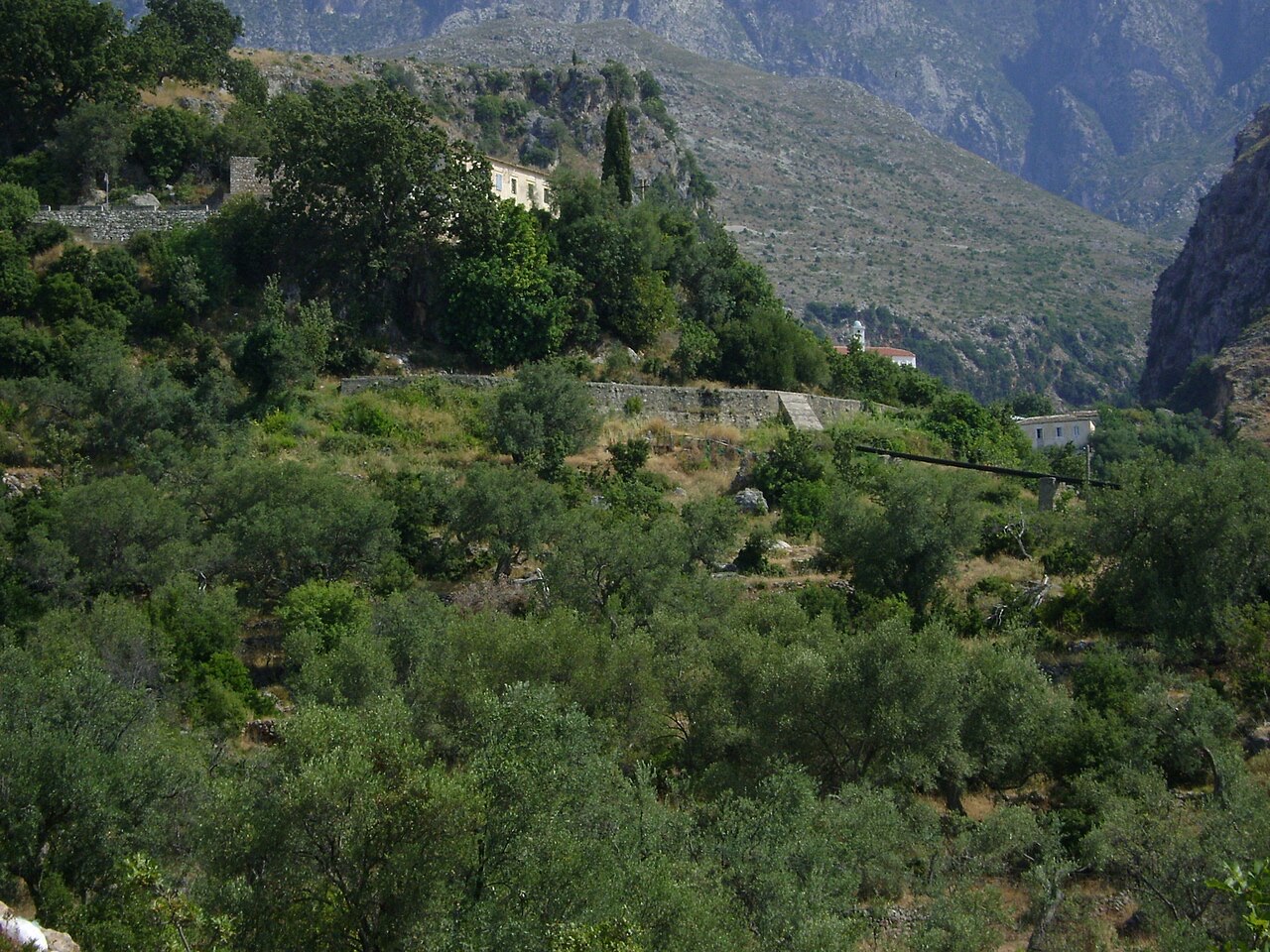
Dhërmi has two parts: an old stone village up the hillside with narrow lanes and churches, and a long pebble beach below with bars and hotels.
Dhërmi has two parts: an old stone village up the hillside with narrow lanes and churches, and a long pebble beach below with bars and hotels.
가장 더운 달은 August (일 최고 기온 평균 30°C), 가장 추운 달은 January (일 최저 기온 평균 6°C), 가장 강수량이 많은 달은 November (255 mm). 연평균 강수량은 1,652 mm. 해수 온도는 8월에 약 26°C.
| 월 | 최고 | 최저 | 강수량 | 강수일 | 일조 시간 | 해수 온도 |
|---|---|---|---|---|---|---|
| January | 12°C | 6°C | 190 mm | 13 | 7.1 h | 17°C |
| February | 12°C | 6°C | 163 mm | 12 | 8.0 h | 15°C |
| March | 14°C | 8°C | 156 mm | 13 | 9.5 h | 15°C |
| April | 18°C | 10°C | 117 mm | 14 | 10.8 h | 16°C |
| May | 22°C | 15°C | 93 mm | 12 | 12.1 h | 19°C |
| June | 26°C | 19°C | 59 mm | 8 | 13.6 h | 24°C |
| July | 29°C | 22°C | 30 mm | 6 | 13.8 h | 26°C |
| August | 30°C | 22°C | 39 mm | 6 | 12.9 h | 26°C |
| September | 25°C | 18°C | 138 mm | 11 | 10.7 h | 26°C |
| October | 21°C | 15°C | 173 mm | 11 | 9.2 h | 25°C |
| November | 17°C | 11°C | 255 mm | 14 | 7.1 h | 21°C |
| December | 13°C | 8°C | 238 mm | 14 | 6.5 h | 18°C |
출처: ERA5 reanalysis via Open-Meteo, 1994–2023 · "최고" 및 "최저"는 일 최고·최저 기온의 평균값입니다. "강수일"은 강수량이 1mm 이상인 날의 수입니다.
산맥 · Vlorë
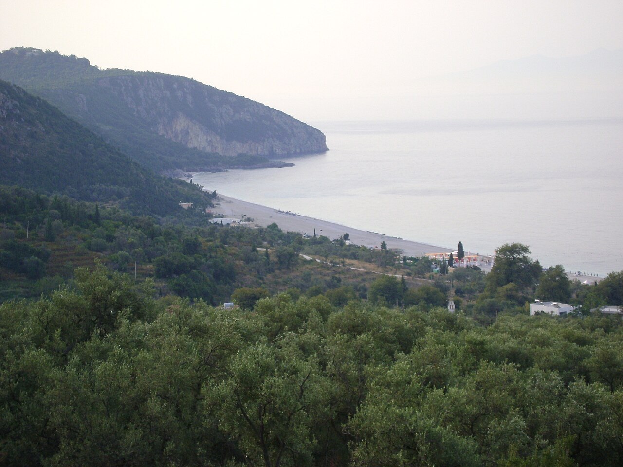
The coastal ridge that makes the Riviera: 2,000 m peaks rising directly out of the Ionian.
소도시 · Vlorë
The centre of the Riviera coast: a Greek-speaking historical community, an old hill village and a string of coves.
보호 구역 · Vlorë
A pine-forested pass at 1,027 m where the road drops from mountain forest to the Ionian in a few kilometres.
해변 · Vlorë
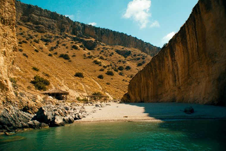
A pebble beach at the mouth of a limestone canyon, reachable only on foot or by boat.
제목 · Vlorë
The 120 km of Ionian coast between the Llogara pass and Sarandë, where the Ceraunian mountains fall straight into the sea.
협곡 · Vlorë
A narrow limestone slot that meets the sea at Gjipe beach — the Riviera's one true canyon.
도로 · Vlorë
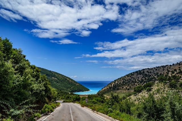
The single road along the Albanian Riviera, over the Llogara pass and down the Ionian coast.
해변 · Vlorë
A long white pebble shore under the Ceraunian ridge, and the Riviera's main nightlife strip.
해변 · Vlorë
The pine-backed northern half of the Dhërmi bay, slightly quieter than the main strip.
이 페이지에 오류가 있습니까? 수정 제안을 환영하며, 출처 기록과 대조하여 검토합니다. 잘못된 내용과 가능하다면 올바른 수치의 출처를 알려 주십시오.