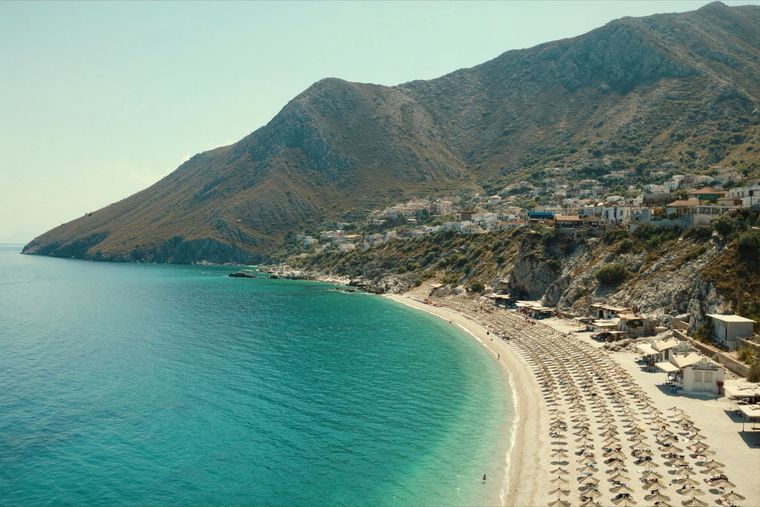
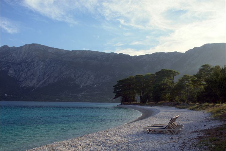
पर्वत श्रृंखला · Vlorë
Ceraunian Mountains
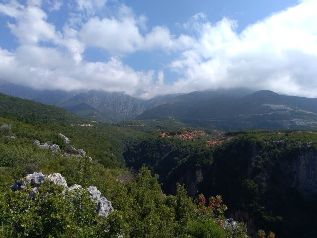
The coastal ridge that makes the Riviera: 2,000 m peaks rising directly out of the Ionian.
हर काउंटी, हर तट, हर सदी
निर्देशित दृश्य
Albania में नए हैं? हर पृष्ठ एक सरल-भाषा स्पष्टीकरण के साथ खुलता है जिसे आप किसी दस वर्षीय बच्चे को पढ़ कर सुना सकते हैं, इससे पहले कि विस्तृत जानकारी शुरू हो।
विशेषज्ञ दृश्य
आप मूल बातें पहले से जानते हैं। सीधे मूल विषय पर, सरल स्पष्टीकरण छिपे हुए। यह डिफ़ॉल्ट है।
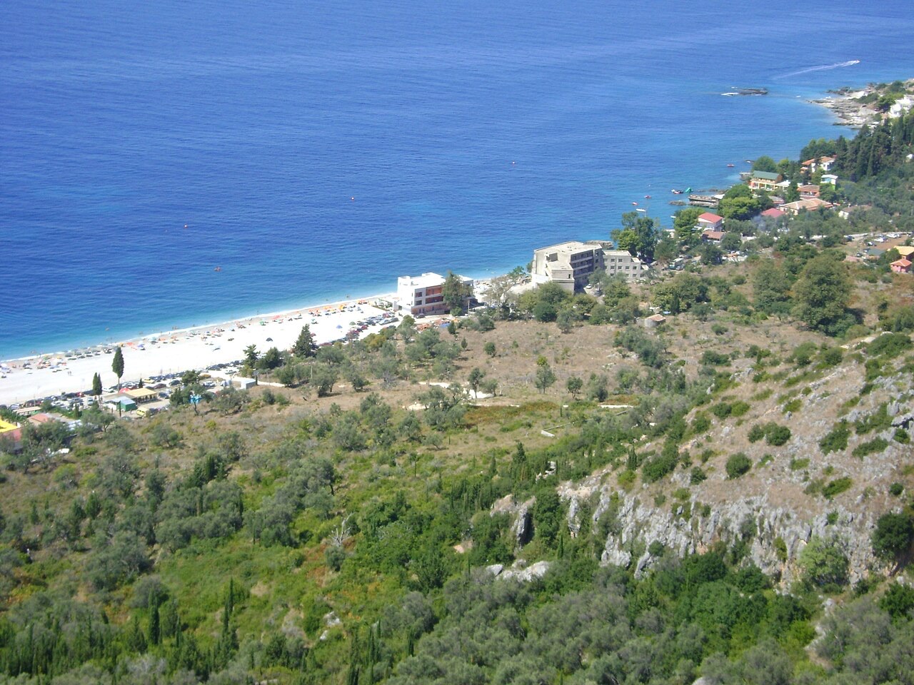
गाँव · Vlorë County
An old white village on the slope above one of the Riviera's longest pebble beaches.
सहेजें
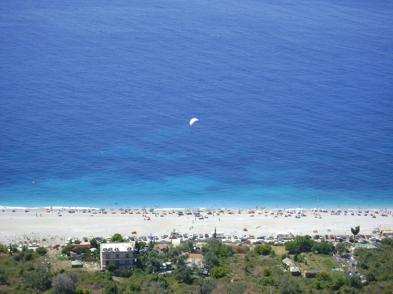
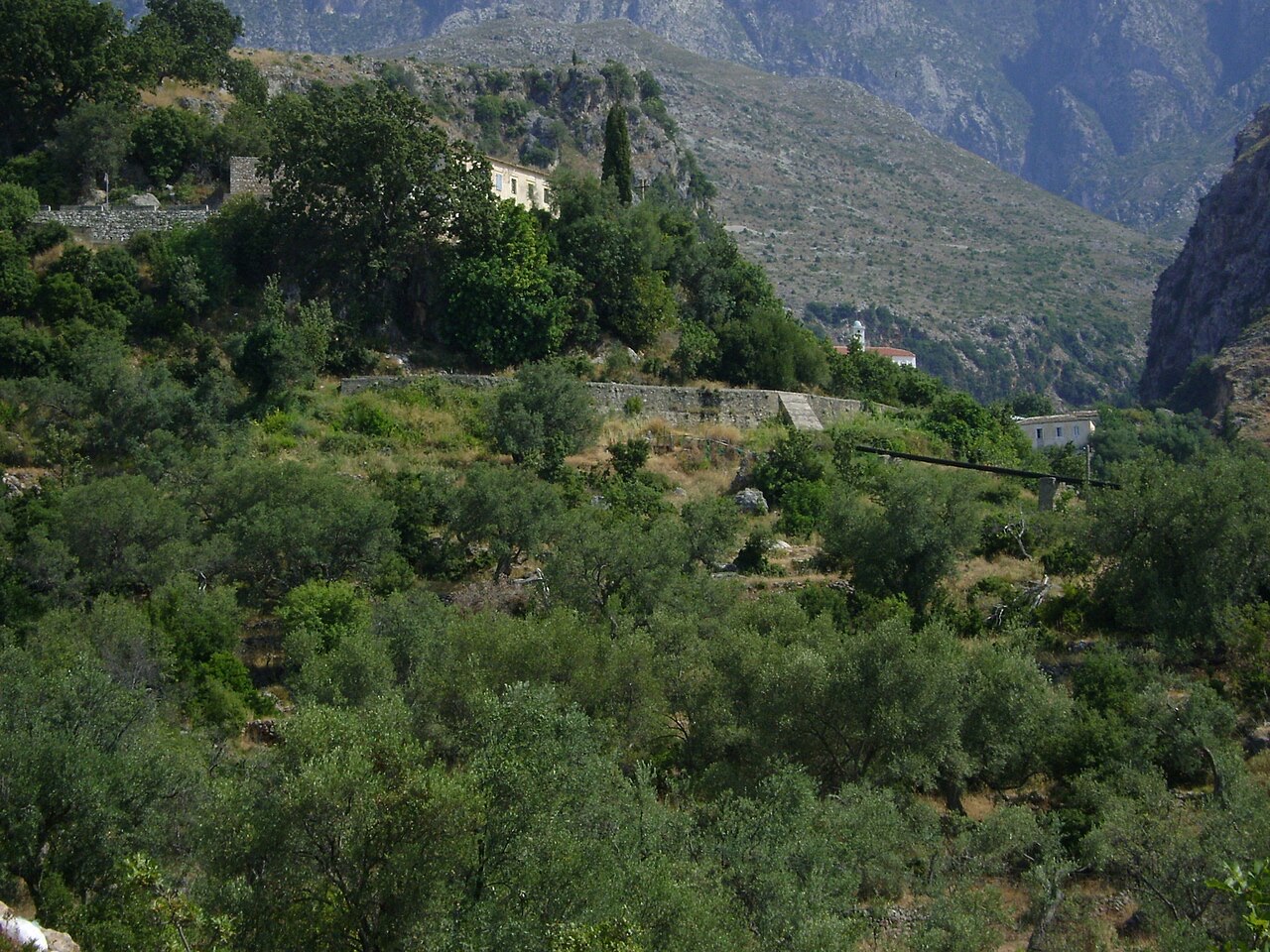
Dhërmi has two parts: an old stone village up the hillside with narrow lanes and churches, and a long pebble beach below with bars and hotels.
Dhërmi has two parts: an old stone village up the hillside with narrow lanes and churches, and a long pebble beach below with bars and hotels.
सबसे गर्म महीना है August (औसत दैनिक अधिकतम 30°C), सबसे ठंडा है January (औसत दैनिक न्यूनतम 6°C), और सबसे अधिक वर्षा वाला है November (255 mm). कुल वार्षिक वर्षा का औसत है 1,652 mm. समुद्र का तापमान अगस्त में लगभग अपने चरम पर पहुँचता है 26°C.
| माह | अधिकतम | न्यूनतम | वर्षा | वर्षा के दिन | धूप/दिन | समुद्र |
|---|---|---|---|---|---|---|
| January | 12°C | 6°C | 190 mm | 13 | 7.1 h | 17°C |
| February | 12°C | 6°C | 163 mm | 12 | 8.0 h | 15°C |
| March | 14°C | 8°C | 156 mm | 13 | 9.5 h | 15°C |
| April | 18°C | 10°C | 117 mm | 14 | 10.8 h | 16°C |
| May | 22°C | 15°C | 93 mm | 12 | 12.1 h | 19°C |
| June | 26°C | 19°C | 59 mm | 8 | 13.6 h | 24°C |
| July | 29°C | 22°C | 30 mm | 6 | 13.8 h | 26°C |
| August | 30°C | 22°C | 39 mm | 6 | 12.9 h | 26°C |
| September | 25°C | 18°C | 138 mm | 11 | 10.7 h | 26°C |
| October | 21°C | 15°C | 173 mm | 11 | 9.2 h | 25°C |
| November | 17°C | 11°C | 255 mm | 14 | 7.1 h | 21°C |
| December | 13°C | 8°C | 238 mm | 14 | 6.5 h | 18°C |
स्रोत: ERA5 reanalysis via Open-Meteo, 1994–2023 · "अधिकतम" और "न्यूनतम" क्रमशः औसत दैनिक अधिकतम और न्यूनतम वायु तापमान हैं। "वर्षा के दिन" उन दिनों की गणना करता है जिनमें कम से कम 1 मिमी वर्षण हुई हो।
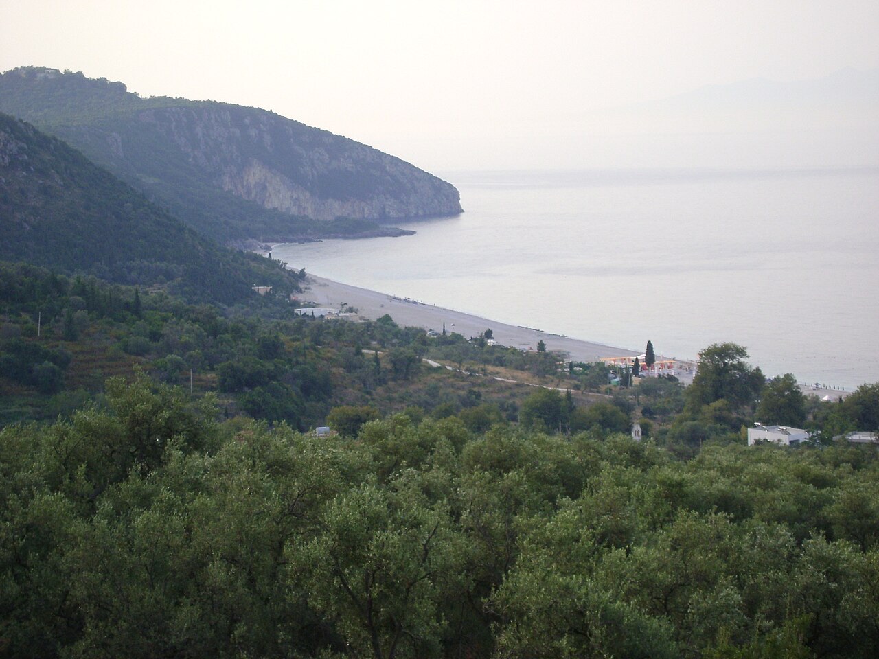
पर्वत श्रृंखला · Vlorë
The coastal ridge that makes the Riviera: 2,000 m peaks rising directly out of the Ionian.
कस्बा · Vlorë
The centre of the Riviera coast: a Greek-speaking historical community, an old hill village and a string of coves.
संरक्षित क्षेत्र · Vlorë
A pine-forested pass at 1,027 m where the road drops from mountain forest to the Ionian in a few kilometres.
समुद्र तट · Vlorë
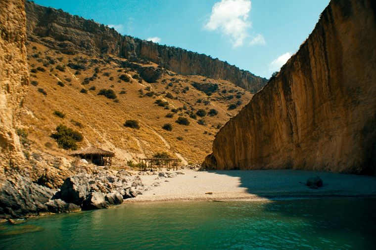
A pebble beach at the mouth of a limestone canyon, reachable only on foot or by boat.
विषय · Vlorë
The 120 km of Ionian coast between the Llogara pass and Sarandë, where the Ceraunian mountains fall straight into the sea.
घाटी · Vlorë
A narrow limestone slot that meets the sea at Gjipe beach — the Riviera's one true canyon.
सड़क · Vlorë
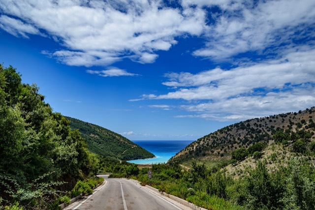
The single road along the Albanian Riviera, over the Llogara pass and down the Ionian coast.
समुद्र तट · Vlorë
A long white pebble shore under the Ceraunian ridge, and the Riviera's main nightlife strip.
समुद्र तट · Vlorë
The pine-backed northern half of the Dhërmi bay, slightly quieter than the main strip.
इस पृष्ठ पर कुछ गलत है? सुधार स्वागतयोग्य हैं और स्रोत अभिलेख के विरुद्ध जाँचे जाते हैं। हमें बताएँ क्या गलत है और, यदि संभव हो, तो सही आँकड़ा कहाँ से आता है।