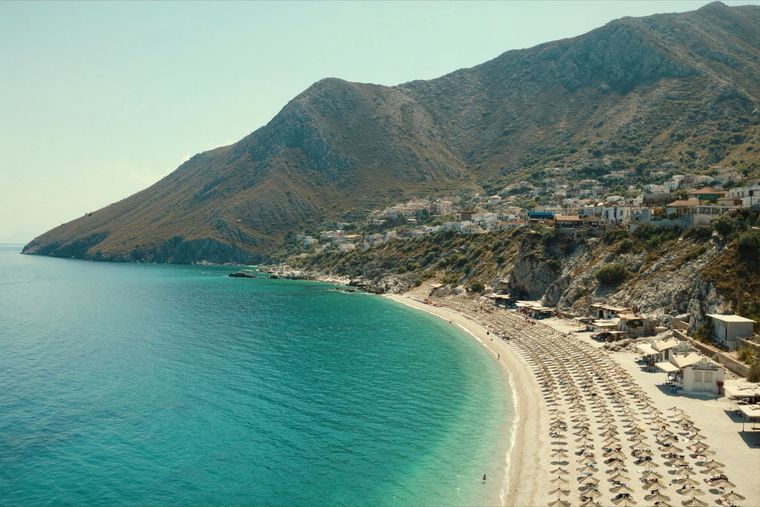
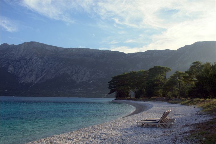
Mountain range · Vlorë
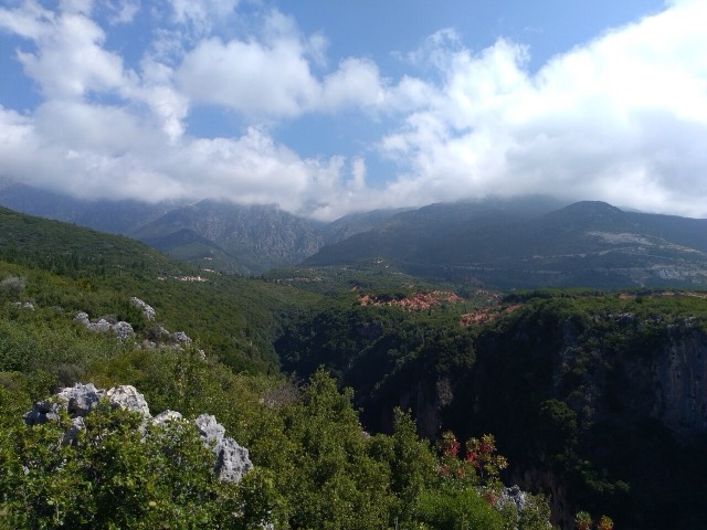
Ceraunian Mountains
The coastal ridge that makes the Riviera: 2,000 m peaks rising directly out of the Ionian.
Every county, coast and century
Guided view
New to Albania? Every page opens with a plain-language explanation you could read to a ten-year-old, before the detail begins.
Expert view
You already know the basics. Straight to the substance, with the simple explanations hidden. This is the default.
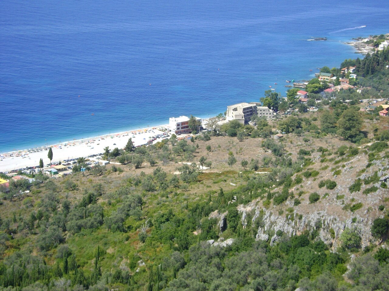
Village · Vlorë County
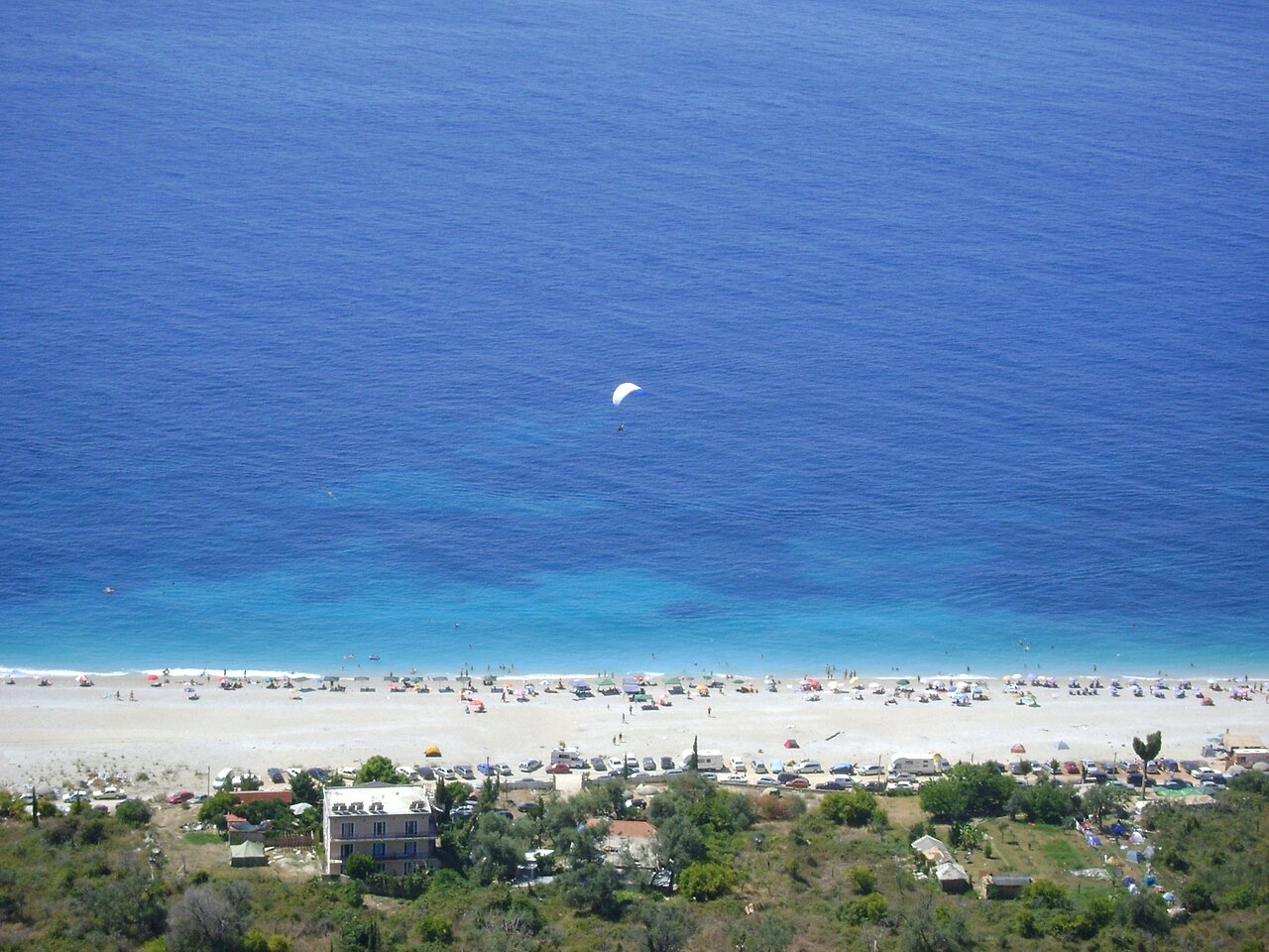
An old white village on the slope above one of the Riviera's longest pebble beaches.
Save
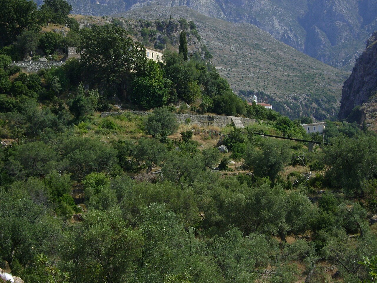
Dhërmi has two parts: an old stone village up the hillside with narrow lanes and churches, and a long pebble beach below with bars and hotels.
Dhërmi has two parts: an old stone village up the hillside with narrow lanes and churches, and a long pebble beach below with bars and hotels.
The warmest month is August (mean daily high 30°C), the coldest is January (mean daily low 6°C), and the wettest is November (255 mm). Total annual rainfall averages 1,652 mm. Sea temperature peaks in August at about 26°C.
| Month | High | Low | Rain | Wet days | Sun/day | Sea |
|---|---|---|---|---|---|---|
| January | 12°C | 6°C | 190 mm | 13 | 7.1 h | 17°C |
| February | 12°C | 6°C | 163 mm | 12 | 8.0 h | 15°C |
| March | 14°C | 8°C | 156 mm | 13 | 9.5 h | 15°C |
| April | 18°C | 10°C | 117 mm | 14 | 10.8 h | 16°C |
| May | 22°C | 15°C | 93 mm | 12 | 12.1 h | 19°C |
| June | 26°C | 19°C | 59 mm | 8 | 13.6 h | 24°C |
| July | 29°C | 22°C | 30 mm | 6 | 13.8 h | 26°C |
| August | 30°C | 22°C | 39 mm | 6 | 12.9 h | 26°C |
| September | 25°C | 18°C | 138 mm | 11 | 10.7 h | 26°C |
| October | 21°C | 15°C | 173 mm | 11 | 9.2 h | 25°C |
| November | 17°C | 11°C | 255 mm | 14 | 7.1 h | 21°C |
| December | 13°C | 8°C | 238 mm | 14 | 6.5 h | 18°C |
Source: ERA5 reanalysis via Open-Meteo, 1994–2023 · “High” and “Low” are mean daily maximum and minimum air temperature. “Wet days” counts days with at least 1 mm of precipitation.
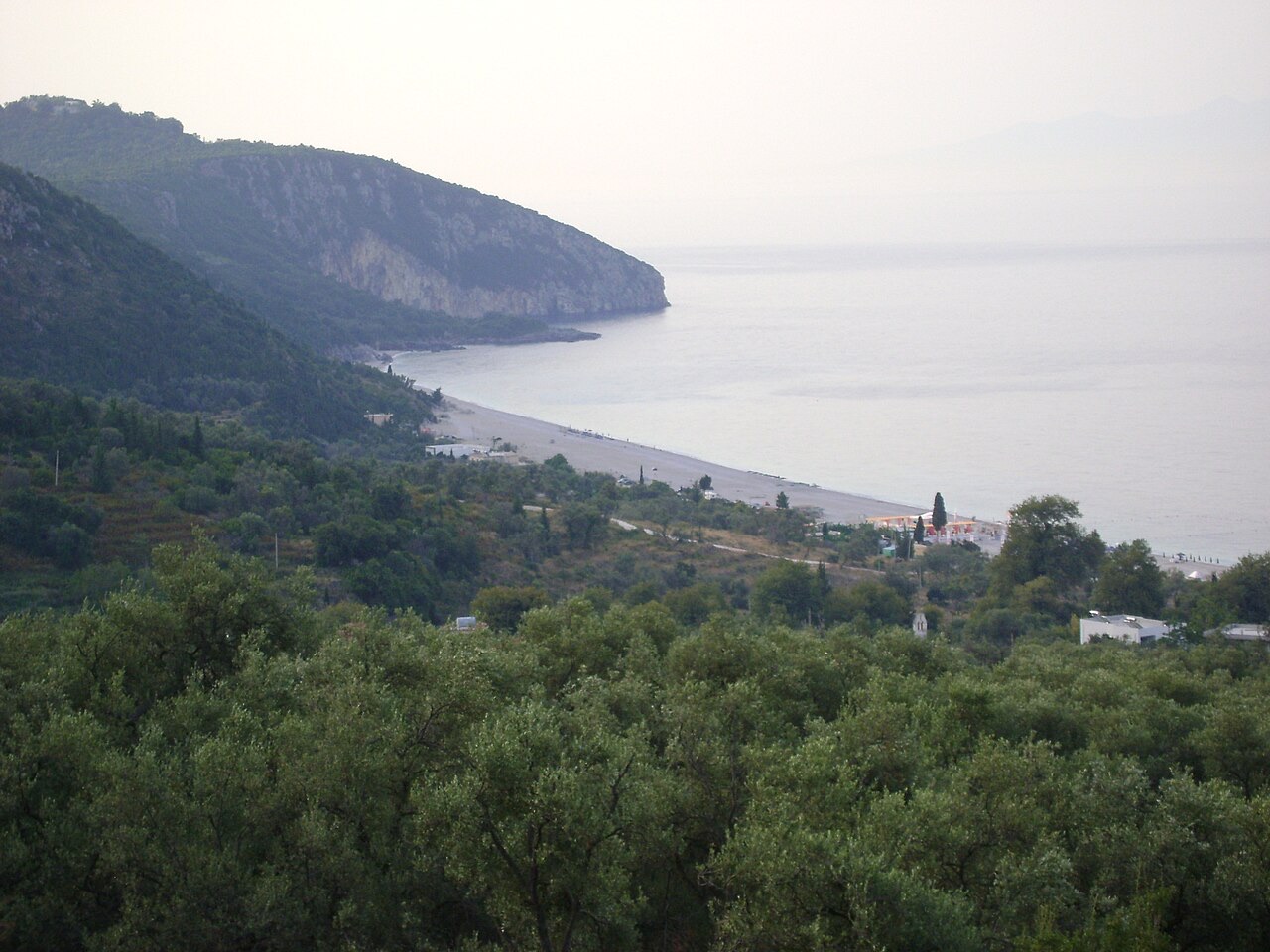
Mountain range · Vlorë
The coastal ridge that makes the Riviera: 2,000 m peaks rising directly out of the Ionian.
Town · Vlorë
The centre of the Riviera coast: a Greek-speaking historical community, an old hill village and a string of coves.
Protected area · Vlorë
A pine-forested pass at 1,027 m where the road drops from mountain forest to the Ionian in a few kilometres.
Beach · Vlorë
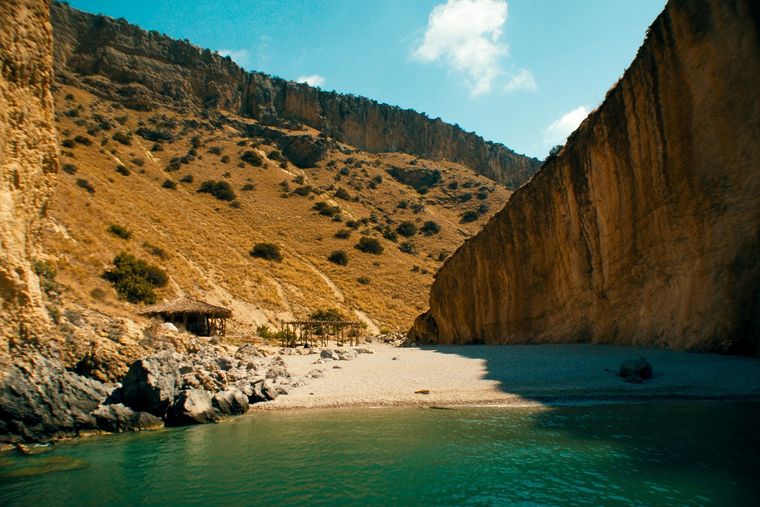
A pebble beach at the mouth of a limestone canyon, reachable only on foot or by boat.
Subject · Vlorë
The 120 km of Ionian coast between the Llogara pass and Sarandë, where the Ceraunian mountains fall straight into the sea.
Canyon · Vlorë
A narrow limestone slot that meets the sea at Gjipe beach — the Riviera's one true canyon.
Road · Vlorë
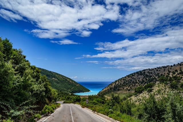
The single road along the Albanian Riviera, over the Llogara pass and down the Ionian coast.
Beach · Vlorë
A long white pebble shore under the Ceraunian ridge, and the Riviera's main nightlife strip.
Beach · Vlorë
The pine-backed northern half of the Dhërmi bay, slightly quieter than the main strip.
Something wrong on this page? Corrections are welcome and are checked against the source record. Tell us what is wrong and, if you can, where the right figure comes from.