Schutzgebiet
Llogara National Park
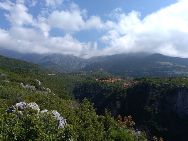
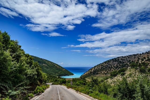
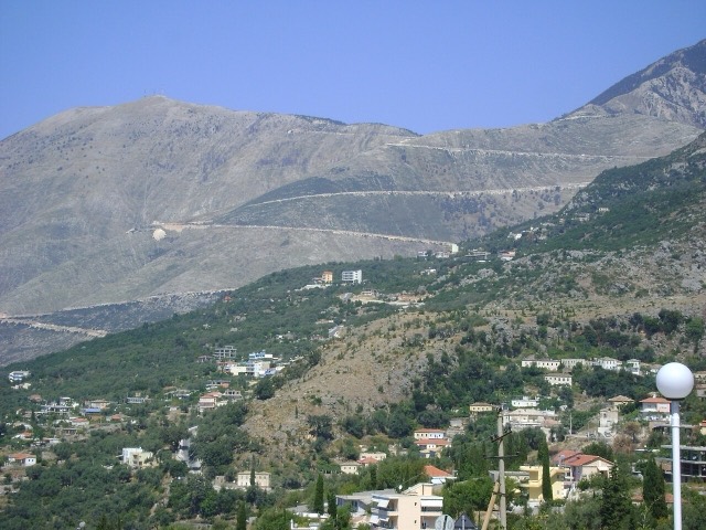
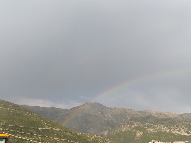
A pine-forested pass at 1,027 m where the road drops from mountain forest to the Ionian in a few kilometres.
🧭 Geführte Ansicht
Neu in Albanien? Jede Seite beginnt mit einer einfachen Erklärung, die auch ein Zehnjähriger verstehen würde – bevor es ins Detail geht.
⚡ Expertenansicht
Sie kennen die Grundlagen bereits. Direkt zur Substanz, ohne die vereinfachten Erklärungen. Dies ist die Standardeinstellung.
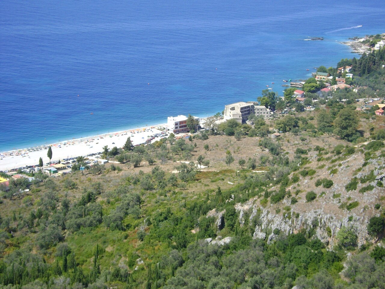
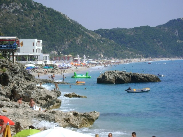
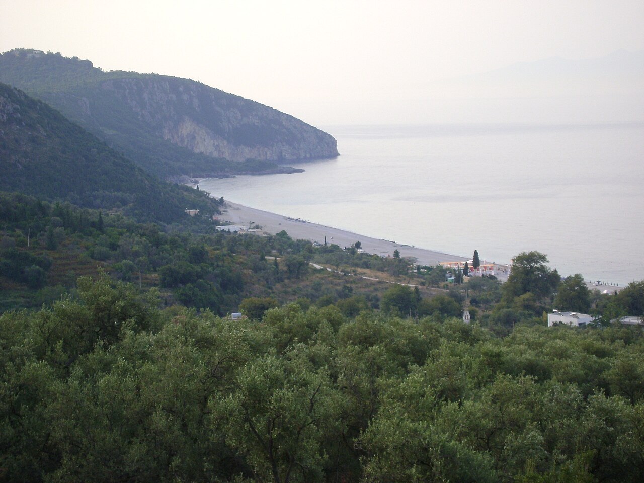
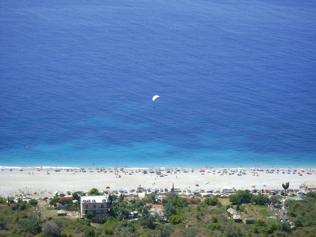
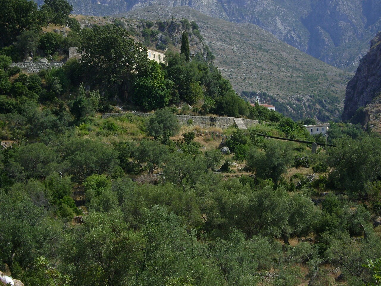
Dhërmi has two parts: an old stone village up the hillside with narrow lanes and churches, and a long pebble beach below with bars and hotels.
Dhërmi has two parts: an old stone village up the hillside with narrow lanes and churches, and a long pebble beach below with bars and hotels.
Dreißigjährige Normalwerte für Dhërmi, für diesen Atlas aus täglichen ERA5-Reanalysedaten über 1994–2023 berechnet. Es handelt sich um langjährige Mittelwerte, keine Prognose: Einzelne Jahre können erheblich abweichen.
Der wärmste Monat ist August (mittleres tägliches Maximum 30°C), der kälteste ist January (mittleres tägliches Minimum 6°C), und der regenreichste ist November (255 mm). Der mittlere jährliche Gesamtniederschlag beträgt 1,652 mm. Die Meerestemperatur erreicht im August einen Höchstwert von etwa 26°C.
| Monat | Maximum | Minimum | Niederschlag | Regentage | Sonne/Tag | Meer |
|---|---|---|---|---|---|---|
| January | 12°C | 6°C | 190 mm | 13 | 7.1 h | 17°C |
| February | 12°C | 6°C | 163 mm | 12 | 8.0 h | 15°C |
| March | 14°C | 8°C | 156 mm | 13 | 9.5 h | 15°C |
| April | 18°C | 10°C | 117 mm | 14 | 10.8 h | 16°C |
| May | 22°C | 15°C | 93 mm | 12 | 12.1 h | 19°C |
| June | 26°C | 19°C | 59 mm | 8 | 13.6 h | 24°C |
| July | 29°C | 22°C | 30 mm | 6 | 13.8 h | 26°C |
| August | 30°C | 22°C | 39 mm | 6 | 12.9 h | 26°C |
| September | 25°C | 18°C | 138 mm | 11 | 10.7 h | 26°C |
| October | 21°C | 15°C | 173 mm | 11 | 9.2 h | 25°C |
| November | 17°C | 11°C | 255 mm | 14 | 7.1 h | 21°C |
| December | 13°C | 8°C | 238 mm | 14 | 6.5 h | 18°C |
Quelle: ERA5 reanalysis via Open-Meteo, 1994–2023 · „Maximum" und „Minimum" sind das mittlere tägliche Temperaturmaximum bzw. -minimum. „Regentage" zählt Tage mit mindestens 1 mm Niederschlag. Als JSON abrufen
Dies sind echte Verknüpfungen im Atlas – Orte in der Nähe dieses Eintrags und Themen, mit denen er tatsächlich zusammenhängt. Nichts davon ist eine generische Empfehlung.
A pine-forested pass at 1,027 m where the road drops from mountain forest to the Ionian in a few kilometres.
The coastal ridge that makes the Riviera: 2,000 m peaks rising directly out of the Ionian.
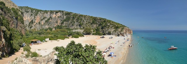
A pebble beach at the mouth of a limestone canyon, reachable only on foot or by boat.
A narrow limestone slot that meets the sea at Gjipe beach — the Riviera's one true canyon.
A steep stone village between Dhërmi and Himarë, above Jal and Gjipe.
The centre of the Riviera coast: a Greek-speaking historical community, an old hill village and a string of coves.
The 120 km of Ionian coast between the Llogara pass and Sarandë, where the Ceraunian mountains fall straight into the…
The single road along the Albanian Riviera, over the Llogara pass and down the Ionian coast.
A long white pebble shore under the Ceraunian ridge, and the Riviera's main nightlife strip.
The pine-backed northern half of the Dhërmi bay, slightly quieter than the main strip.
The 120 km of Ionian coast between the Llogara pass and Sarandë, where the Ceraunian mountains fall straight into the…
Etwas falsch auf dieser Seite? Korrekturen sind willkommen und werden gegen den Quelldatensatz geprüft. Bitte mitteilen, was falsch ist und, wenn möglich, woher die richtige Angabe stammt.