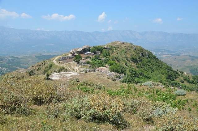
都市 · Vlorë
Vlorë
Where the Adriatic meets the Ionian, and where Albanian independence was declared in 1912.
すべての県、すべての海岸、すべての世紀
ガイドビュー
アルバニアを初めて知る方へ。各ページは、詳細に入る前に、10歳の子どもにも読み聞かせられる平易な説明から始まります。
エキスパートビュー
基本知識はすでにお持ちの方向け。平易な説明を非表示にし、内容を直接表示します。これがデフォルトです。
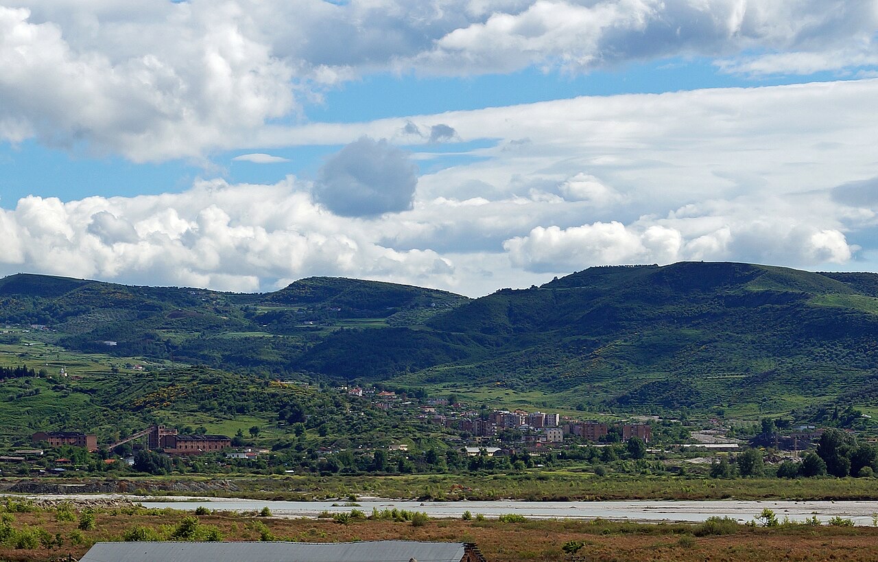
町 · Vlorë County
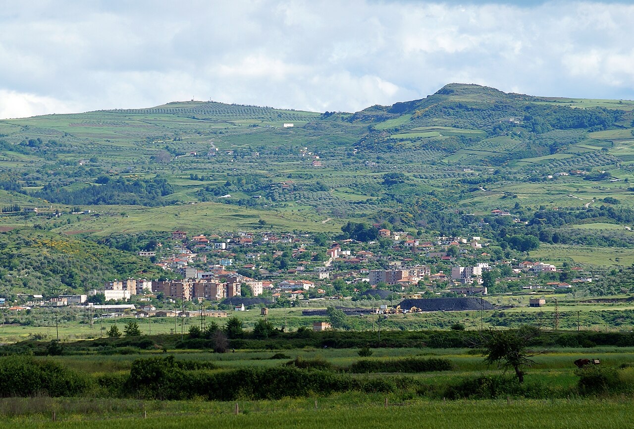
A bitumen-mining town inland from Vlorë, worked since antiquity.
保存 スタブ
Selenicë is a town where bitumen — a natural tar used for roads and waterproofing — has been dug for thousands of years.
Selenicë is a town where bitumen — a natural tar used for roads and waterproofing — has been dug for thousands of years.
都市 · Vlorë
Where the Adriatic meets the Ionian, and where Albanian independence was declared in 1912.
史跡 · Vlorë
An Illyrian hill city whose stadium — cut into the slope — is among the best preserved in the region.
産業
Chromium above all — Albania has long been among the larger world producers — plus copper and nickel.
このページに誤りがありますか? 修正は歓迎しており、原典記録と照合して確認します。何が誤っているか、また可能であれば正しい数値の出典をお知らせください。