Skip to content
The Albania Atlas A reference to a country
The Albania Atlas
Explore Map of Albania The 12 counties All places
Sections TravelLiving CultureHistory NatureBusiness Infrastructure
Tools DataLearn NewsAsk the Atlas Compare tool AI agents ★ SavedAPI
About About usMethodology Data sources Photo policy Editorial policy Corrections Contact
Settings
Dark mode
Interface language

🧭 Guided view
New to Albania? Every page opens with a plain-language explanation you could read to a ten-year-old, before the detail begins.

⚡ Expert view
You already know the basics. Straight to the substance, with the simple explanations hidden. This is the default.
★ Your saved pages
Stub

In plain language

Selenicë is a town where bitumen — a natural tar used for roads and waterproofing — has been dug for thousands of years.
Simple explanation

Selenicë is a town where bitumen — a natural tar used for roads and waterproofing — has been dug for thousands of years.
More images

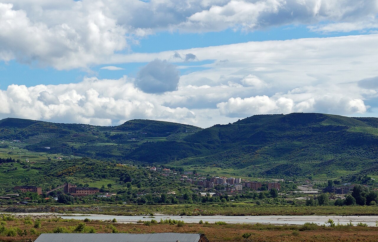
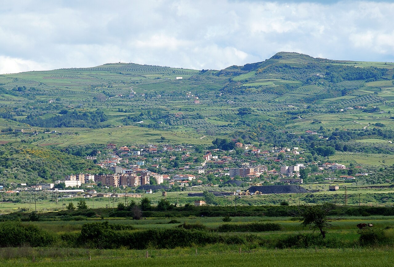
The town of Selenica in Southern Albania seen from North across Vjosa river
Selenica from the distance 3 Albinfo · CC BY-SA 3.0
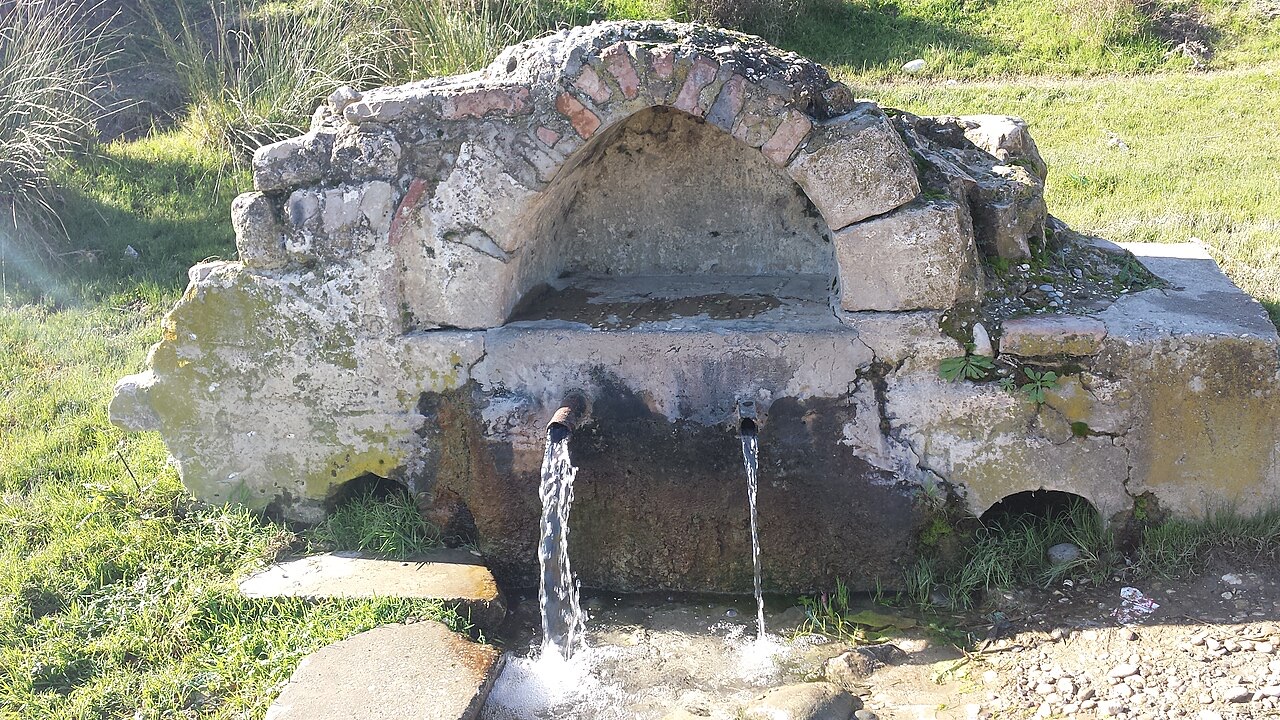
Cezma e madhe, fshati Karbunarë, Selenicë, Vlorë — foto @Xhevat Zenjelaj
Cezma e madhe2 Xhevatzenjelaj · CC BY-SA 4.0
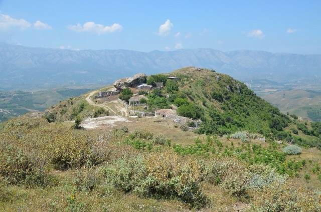
The town of Selenica in Southern Albania seen from North
Selenica from the distance 2 Albinfo · CC BY-SA 3.0

Connected subjects

These are real relationships in the Atlas — places that are near this one, and subjects it genuinely belongs with. Nothing here is a generic recommendation.

Nearby

City

Vlorë

Where the Adriatic meets the Ionian, and where Albanian independence was declared in 1912.

VloraVlore
Historic site

Amantia

An Illyrian hill city whose stadium — cut into the slope — is among the best preserved in the region.

Vlore

Related subjects

Industry

Mining in Albania

Chromium above all — Albania has long been among the larger world producers — plus copper and nickel.

Albanian Economy

Sources

  • WikipediaSelenicë — English Wikipedia · retrieved 03 Sep 2026
    Used to ground the deep-research section and as a discovery aid; not relied on alone for contested claims.
  • WikidataWikidata item Q134613 · retrieved 03 Sep 2026
    Source of the population, area and elevation figures shown in Quick facts, each with its own observation year.
  • Wikimedia CommonsPhotographs · retrieved 03 Sep 2026
    Each photograph carries its own creator, licence and file link beneath it. Only public-domain, CC0, CC BY and CC BY-SA files are published.

Something wrong on this page? Corrections are welcome and are checked against the source record. Tell us what is wrong and, if you can, where the right figure comes from.