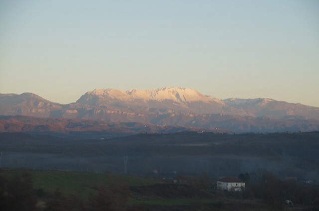
Protected area · Dibër
Lurë-Dejë Mountain National Park
A cluster of small glacial lakes among black pine on the Lurë ridge, badly damaged by logging and slowly recovering.
Every county, coast and century
Guided view
New to Albania? Every page opens with a plain-language explanation you could read to a ten-year-old, before the detail begins.
Expert view
You already know the basics. Straight to the substance, with the simple explanations hidden. This is the default.
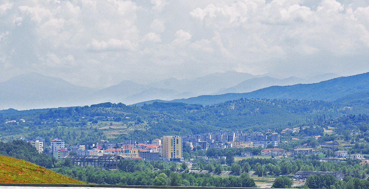
Town · Lezhë County
The seat of Mirditë, historic centre of Albania's copper mining region.
Save
Rrëshen is a town in the hills. Copper was mined all around it.
Rrëshen is a town in the hills. Copper was mined all around it.
The warmest month is August (mean daily high 31°C), the coldest is January (mean daily low 0°C), and the wettest is December (173 mm). Total annual rainfall averages 1,389 mm.
| Month | High | Low | Rain | Wet days | Sun/day |
|---|---|---|---|---|---|
| January | 10°C | 0°C | 142 mm | 12 | 6.8 h |
| February | 11°C | 1°C | 124 mm | 11 | 7.7 h |
| March | 14°C | 4°C | 134 mm | 12 | 9.2 h |
| April | 18°C | 7°C | 128 mm | 14 | 10.3 h |
| May | 23°C | 12°C | 110 mm | 13 | 11.8 h |
| June | 27°C | 16°C | 67 mm | 10 | 13.5 h |
| July | 30°C | 19°C | 45 mm | 6 | 13.6 h |
| August | 31°C | 19°C | 48 mm | 7 | 12.7 h |
| September | 26°C | 15°C | 122 mm | 10 | 10.4 h |
| October | 21°C | 10°C | 128 mm | 10 | 8.9 h |
| November | 16°C | 6°C | 169 mm | 12 | 7.0 h |
| December | 11°C | 2°C | 173 mm | 14 | 6.3 h |
Source: ERA5 reanalysis via Open-Meteo, 1994–2023 · “High” and “Low” are mean daily maximum and minimum air temperature. “Wet days” counts days with at least 1 mm of precipitation.
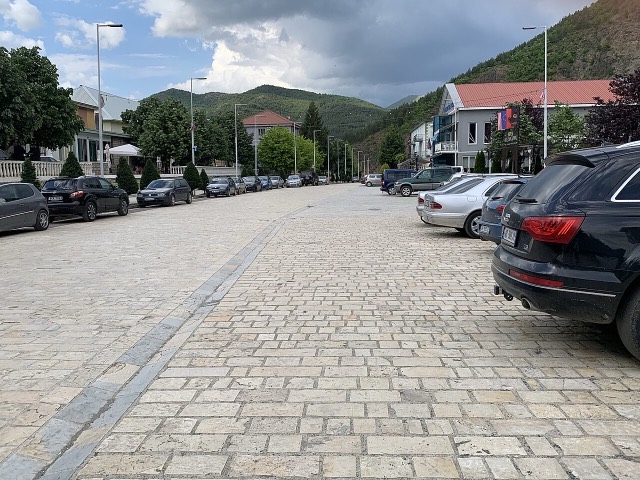
Protected area · Dibër
A cluster of small glacial lakes among black pine on the Lurë ridge, badly damaged by logging and slowly recovering.
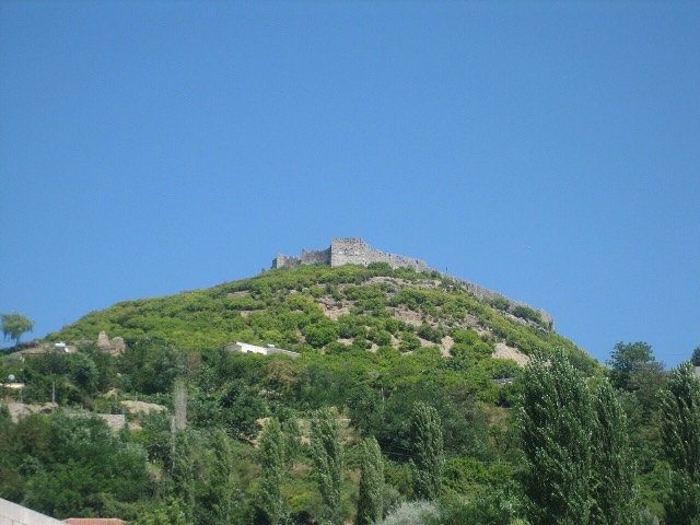
Town · Lezhë
Where the Albanian princes swore their 1444 league, and where Skanderbeg is buried.
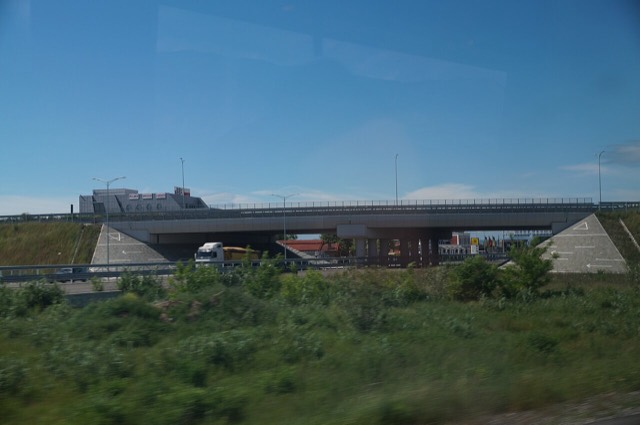
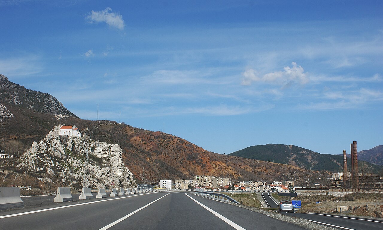
Road · Kukës
The Durrës–Kukës–Morina motorway, including the 5.6 km Kalimash tunnel, linking Albania to Kosovo.
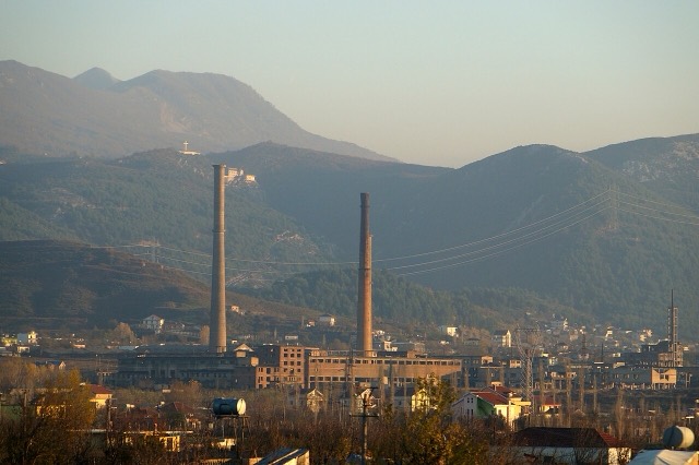
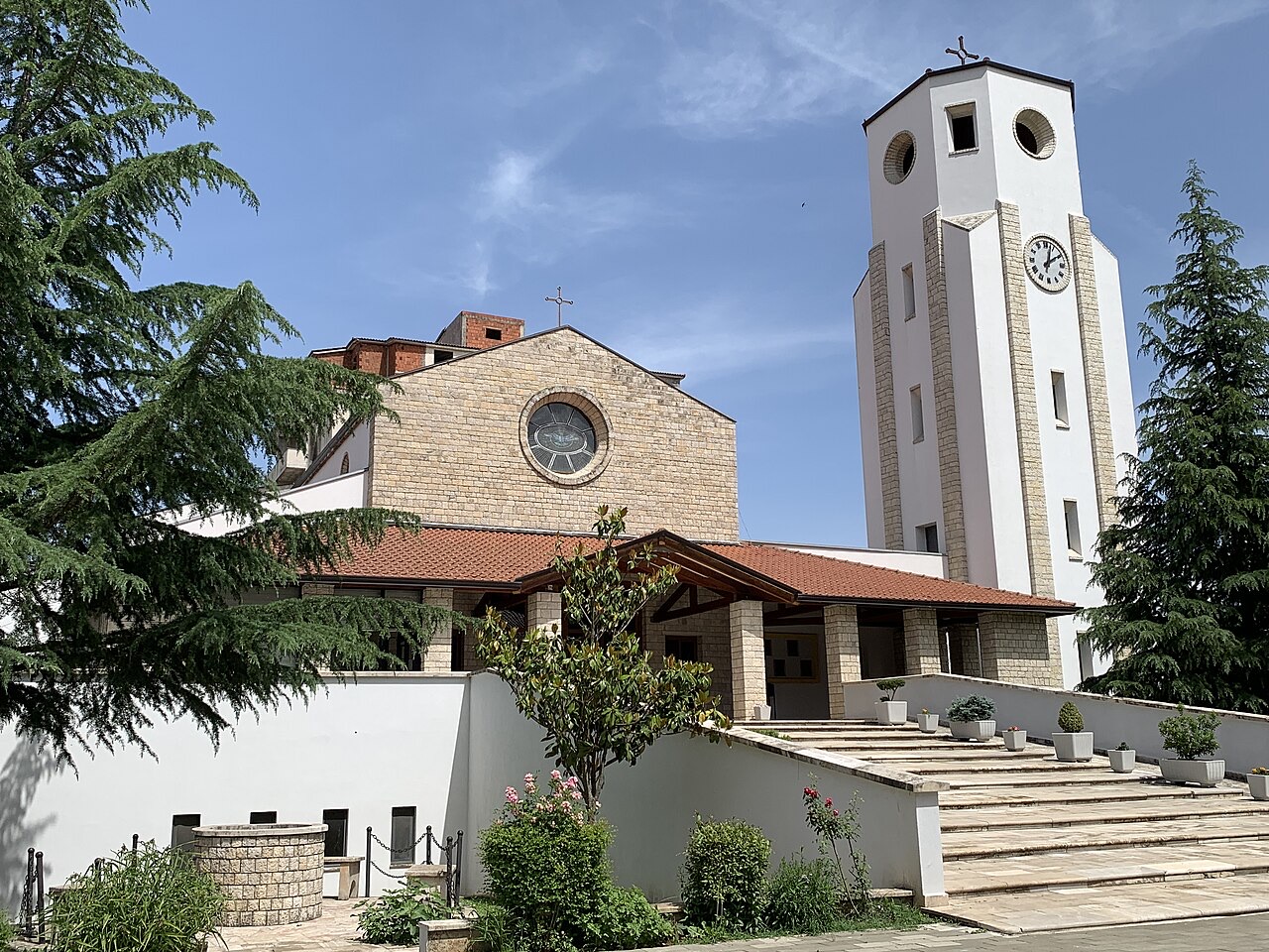
Town · Lezhë
An industrial town and the site of the Saint Anthony pilgrimage church at Shëngjin i Vogël.
Industry
Chromium above all — Albania has long been among the larger world producers — plus copper and nickel.
Something wrong on this page? Corrections are welcome and are checked against the source record. Tell us what is wrong and, if you can, where the right figure comes from.