Город
Vlorë
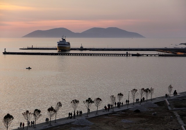
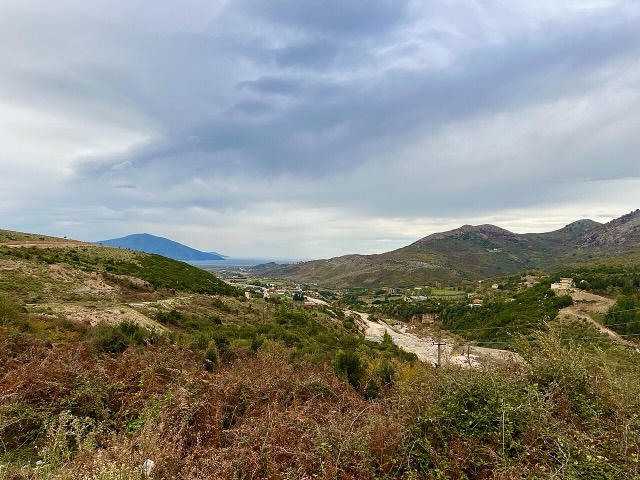
Where the Adriatic meets the Ionian, and where Albanian independence was declared in 1912.
🧭 Режим с пояснениями
Впервые об Албании? Каждая страница начинается с доступного объяснения, понятного даже десятилетнему ребёнку, и лишь затем переходит к подробностям.
⚡ Режим эксперта
Основы вам уже известны. Сразу к существу вопроса, без простых пояснений. Это режим по умолчанию.
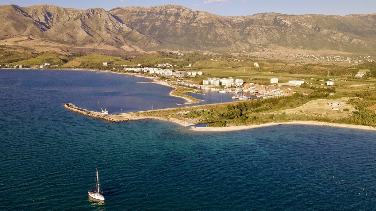
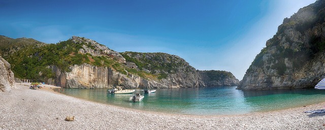
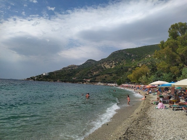
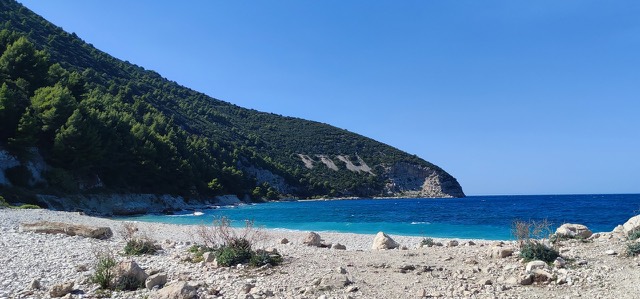
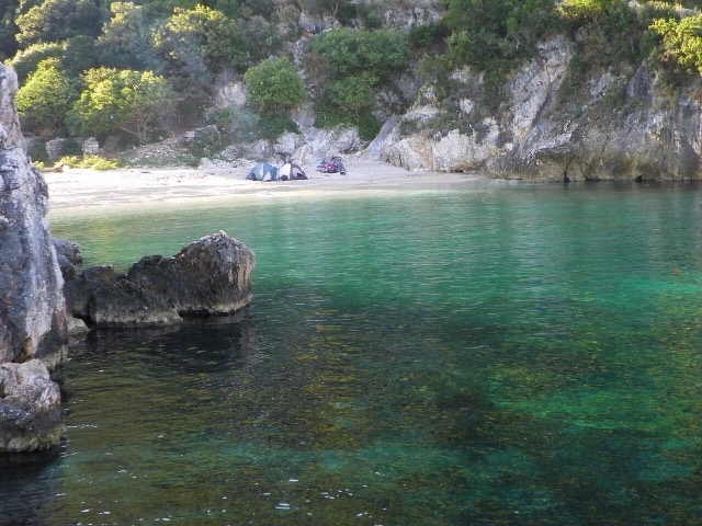
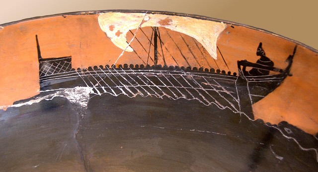
Orikum is a small town on the bay south of Vlorë, where the Riviera road starts climbing. There was an ancient port here that Julius Caesar used during a Roman civil war.
Orikum is a small town on the bay south of Vlorë, where the Riviera road starts climbing. There was an ancient port here that Julius Caesar used during a Roman civil war.
Тридцатилетние нормы для Orikum, рассчитаны для данного Атласа по суточным данным реанализа ERA5 за 1994–2023 годы. Это многолетние средние значения, а не прогноз: в отдельные годы показатели могут существенно отличаться.
Самый тёплый месяц — August (средний дневной максимум 31°C), самый холодный — January (средний ночной минимум 7°C), самый дождливый — November (156 mm). Среднегодовое количество осадков составляет 1,107 mm. Температура морской воды достигает максимума в августе — около 25°C.
| Месяц | Макс. | Мин. | Осадки | Дождливых дней | Солнце/день | Море |
|---|---|---|---|---|---|---|
| January | 12°C | 7°C | 113 mm | 12 | 7.4 h | 17°C |
| February | 13°C | 7°C | 103 mm | 11 | 8.3 h | 15°C |
| March | 16°C | 8°C | 104 mm | 11 | 9.8 h | 15°C |
| April | 19°C | 11°C | 86 mm | 12 | 11.0 h | 16°C |
| May | 23°C | 16°C | 67 mm | 9 | 12.2 h | 18°C |
| June | 28°C | 20°C | 42 mm | 6 | 13.6 h | 22°C |
| July | 31°C | 22°C | 26 mm | 5 | 13.8 h | 24°C |
| August | 31°C | 23°C | 32 mm | 6 | 12.9 h | 25°C |
| September | 26°C | 19°C | 104 mm | 10 | 10.8 h | 25°C |
| October | 22°C | 16°C | 127 mm | 10 | 9.3 h | 25°C |
| November | 18°C | 12°C | 156 mm | 13 | 7.4 h | 21°C |
| December | 14°C | 8°C | 146 mm | 13 | 6.8 h | 18°C |
Источник: ERA5 reanalysis via Open-Meteo, 1994–2023 · «Макс.» и «Мин.» — средние суточные максимум и минимум температуры воздуха. «Дождливых дней» — число дней с количеством осадков не менее 1 мм. Получить в формате JSON
Это реальные связи в Атласе — места, расположенные рядом с данным, и темы, к которым оно действительно относится. Здесь нет универсальных рекомендаций.
Where the Adriatic meets the Ionian, and where Albanian independence was declared in 1912.
Albania's only marine national park: sea caves, wrecks and the country's clearest water.
A pine-forested pass at 1,027 m where the road drops from mountain forest to the Ionian in a few kilometres.
A remote bay on the Karaburun peninsula whose cliffs carry Greek and Latin inscriptions cut by ancient sailors.
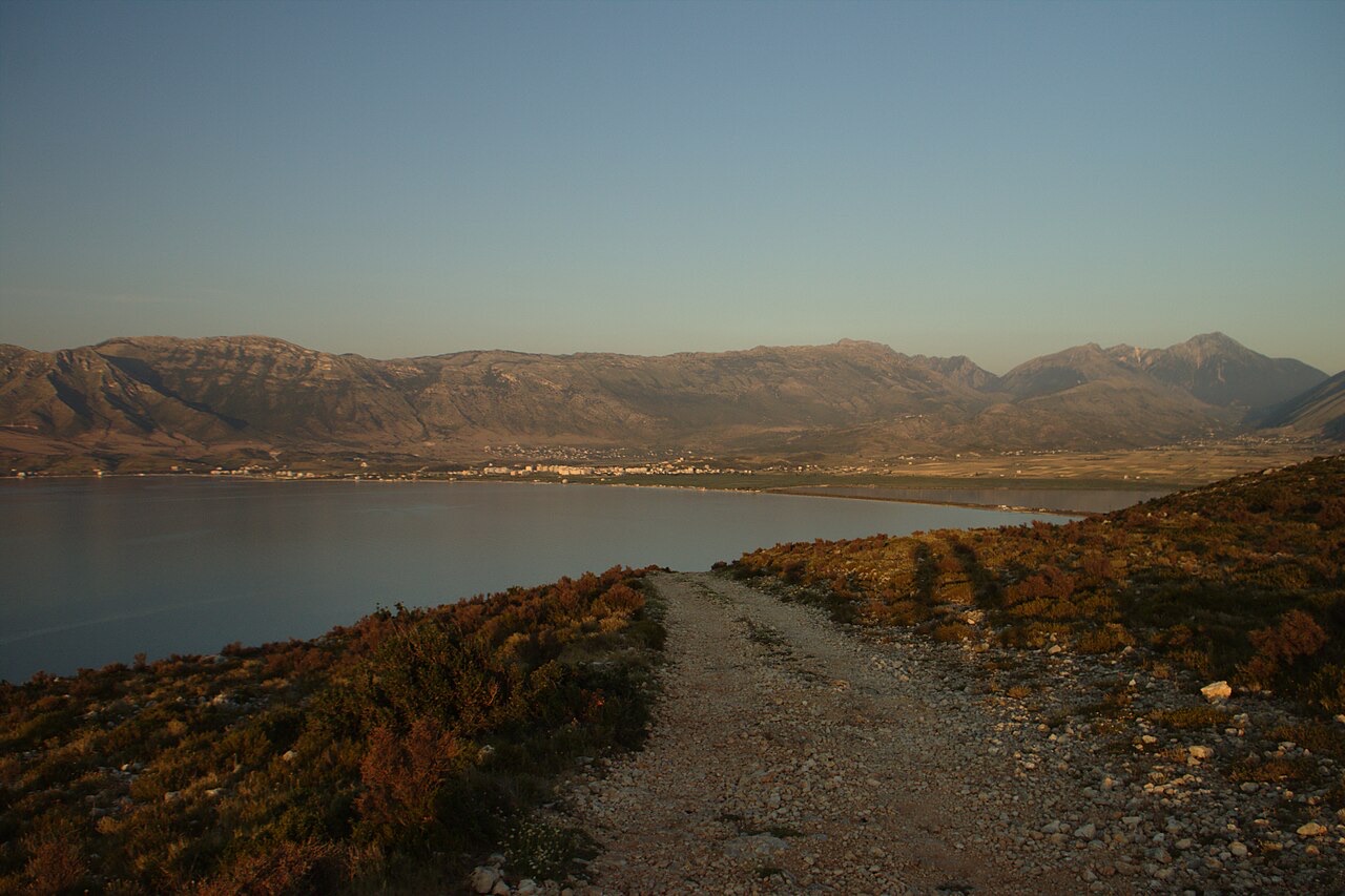
The sheltered eastern shore of the Bay of Vlorë, facing the Karaburun peninsula.
Albania's second passenger port, with a seasonal fast link to Brindisi.
Albania's largest island: a former Italian and then Soviet-era military base at the mouth of the Bay of Vlorë.
Albania's largest uninhabited peninsula, closed to the public for most of the 20th century and now a marine park.
Corinthian and Corcyraean foundations at Epidamnos, Apollonia and Orikum along the coast.
Нашли ошибку на этой странице? Исправления приветствуются и проверяются по исходной записи. Сообщите нам, что именно неверно, и по возможности укажите, откуда взята правильная цифра.