Ville
Vlorë
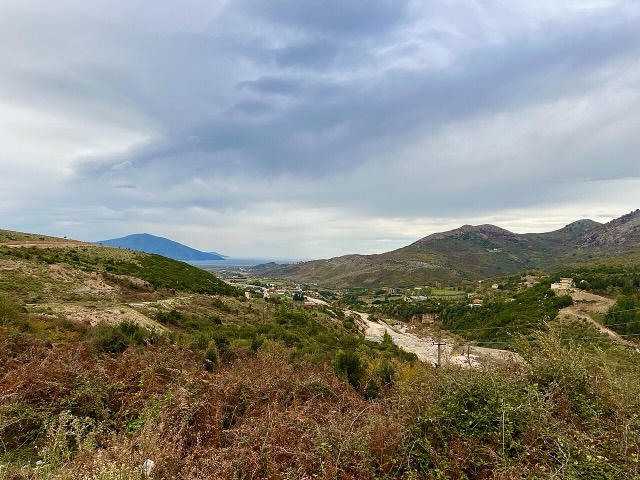
Where the Adriatic meets the Ionian, and where Albanian independence was declared in 1912.
🧭 Vue guidée
Nouveau en Albanie ? Chaque page s'ouvre sur une explication en langage clair, accessible à un enfant de dix ans, avant d'entrer dans le détail.
⚡ Vue expert
Vous connaissez déjà les bases. Directement à l'essentiel, les explications simples étant masquées. Il s'agit du réglage par défaut.
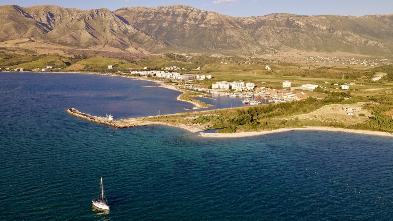
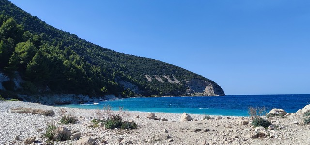
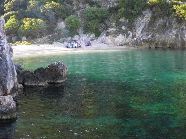
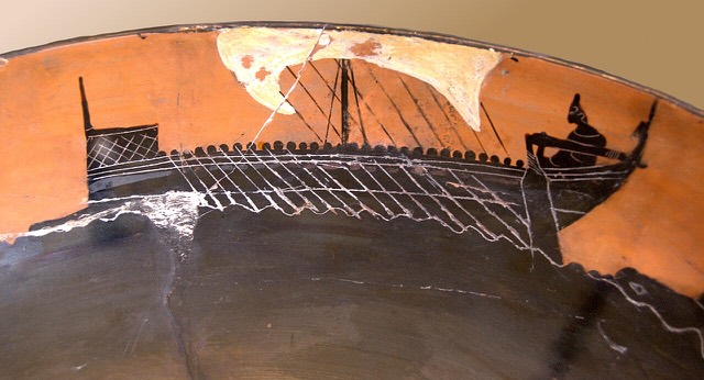
Orikum is a small town on the bay south of Vlorë, where the Riviera road starts climbing. There was an ancient port here that Julius Caesar used during a Roman civil war.
Orikum is a small town on the bay south of Vlorë, where the Riviera road starts climbing. There was an ancient port here that Julius Caesar used during a Roman civil war.
Normales sur trente ans pour Orikum, calculées pour cet Atlas à partir des réanalyses ERA5 journalières sur la période 1994–2023. Il s'agit de moyennes à long terme, non de prévisions : toute année individuelle peut s'en écarter sensiblement.
Le mois le plus chaud est August (maximum quotidien moyen 31°C), le plus froid est January (minimum quotidien moyen 7°C), et le plus pluvieux est November (156 mm). La pluviométrie annuelle totale est en moyenne de 1,107 mm. La température de la mer atteint son maximum en août, à environ 25°C.
| Mois | Max. | Min. | Pluie | Jours de pluie | Ensoleil./jour | Mer |
|---|---|---|---|---|---|---|
| January | 12°C | 7°C | 113 mm | 12 | 7.4 h | 17°C |
| February | 13°C | 7°C | 103 mm | 11 | 8.3 h | 15°C |
| March | 16°C | 8°C | 104 mm | 11 | 9.8 h | 15°C |
| April | 19°C | 11°C | 86 mm | 12 | 11.0 h | 16°C |
| May | 23°C | 16°C | 67 mm | 9 | 12.2 h | 18°C |
| June | 28°C | 20°C | 42 mm | 6 | 13.6 h | 22°C |
| July | 31°C | 22°C | 26 mm | 5 | 13.8 h | 24°C |
| August | 31°C | 23°C | 32 mm | 6 | 12.9 h | 25°C |
| September | 26°C | 19°C | 104 mm | 10 | 10.8 h | 25°C |
| October | 22°C | 16°C | 127 mm | 10 | 9.3 h | 25°C |
| November | 18°C | 12°C | 156 mm | 13 | 7.4 h | 21°C |
| December | 14°C | 8°C | 146 mm | 13 | 6.8 h | 18°C |
Source: ERA5 reanalysis via Open-Meteo, 1994–2023 · « Max. » et « Min. » sont les températures de l'air maximale et minimale quotidiennes moyennes. « Jours de pluie » comptabilise les jours avec au moins 1 mm de précipitations. Obtenir en JSON
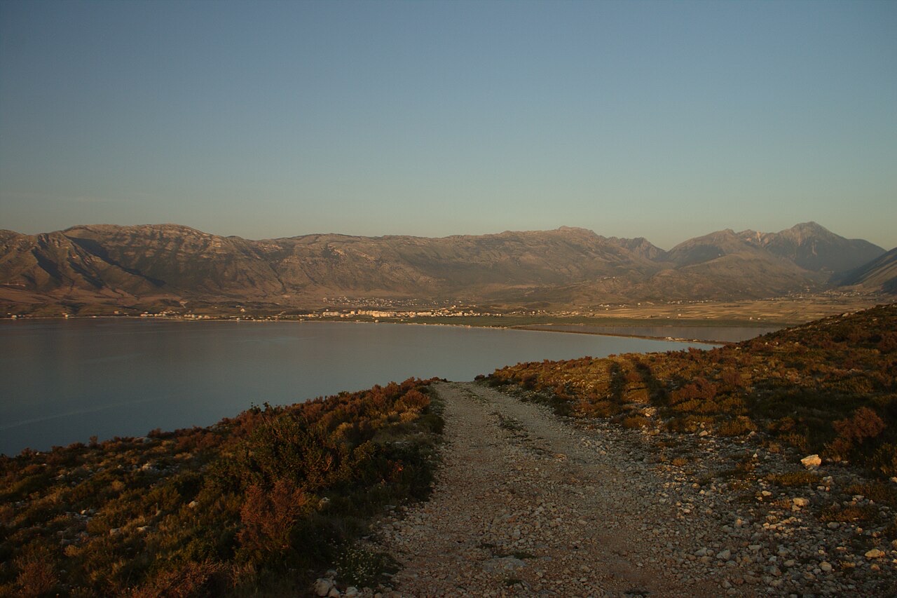
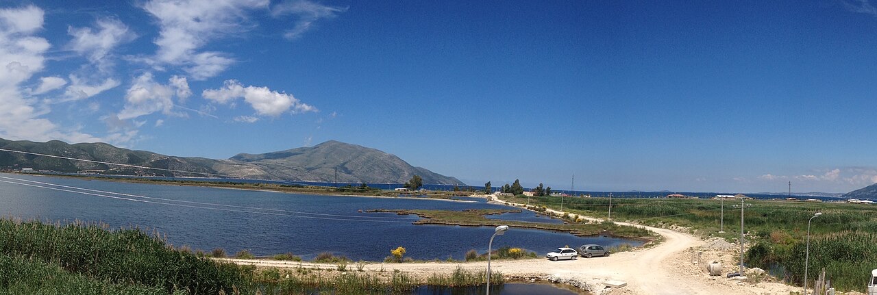
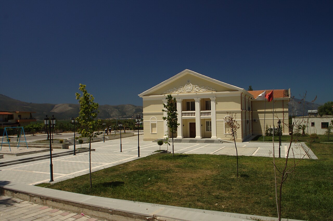
Ce sont de vraies relations dans l'Atlas — des lieux proches de celui-ci et des sujets auxquels il appartient réellement. Rien ici n'est une recommandation générique.
Where the Adriatic meets the Ionian, and where Albanian independence was declared in 1912.
Albania's only marine national park: sea caves, wrecks and the country's clearest water.
A pine-forested pass at 1,027 m where the road drops from mountain forest to the Ionian in a few kilometres.
A remote bay on the Karaburun peninsula whose cliffs carry Greek and Latin inscriptions cut by ancient sailors.
The sheltered eastern shore of the Bay of Vlorë, facing the Karaburun peninsula.
Albania's second passenger port, with a seasonal fast link to Brindisi.
Albania's largest island: a former Italian and then Soviet-era military base at the mouth of the Bay of Vlorë.
Albania's largest uninhabited peninsula, closed to the public for most of the 20th century and now a marine park.
Corinthian and Corcyraean foundations at Epidamnos, Apollonia and Orikum along the coast.
Une erreur sur cette page ? Les corrections sont les bienvenues et sont vérifiées par rapport au document source. Indiquer ce qui est erroné et, si possible, d'où provient le chiffre correct.