Area protetta · Lezhë
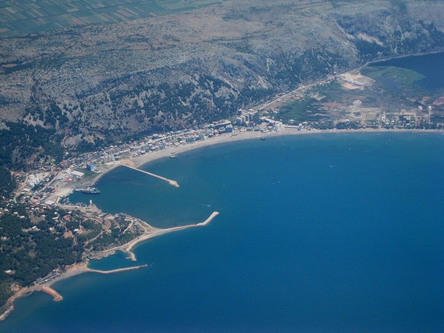
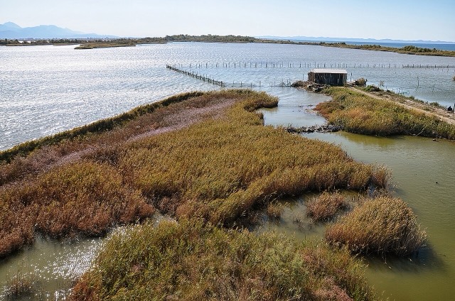
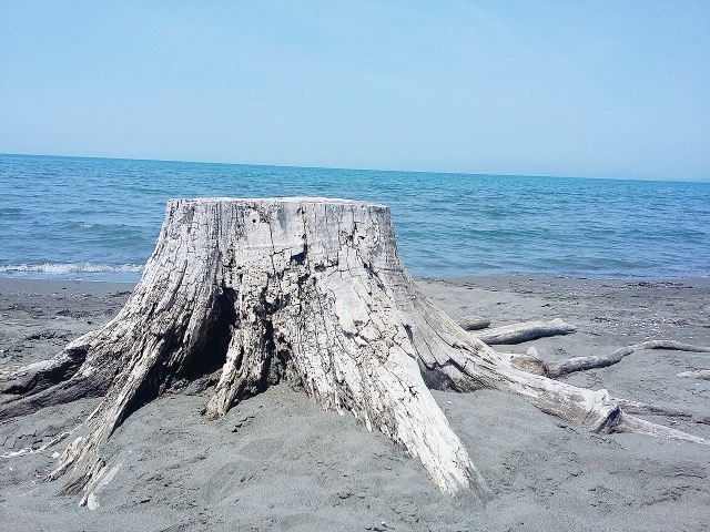
Kune-Vain Nature Reserve
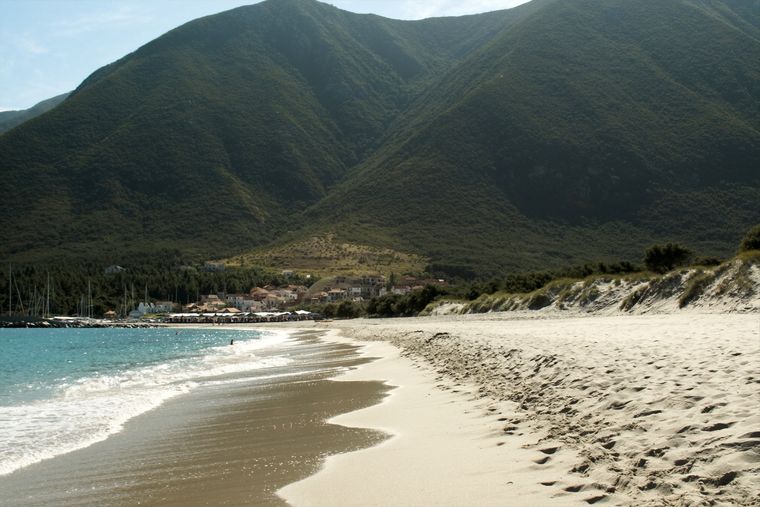
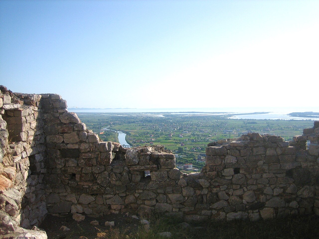
Lagoons, pine and one of Albania's few surviving coastal alluvial forests, beside Shëngjin.
Ogni contea, ogni costa, ogni secolo
Vista guidata
Non conosci l'Albania? Ogni pagina si apre con una spiegazione in linguaggio semplice, comprensibile anche a un bambino di dieci anni, prima di entrare nei dettagli.
Vista per esperti
Conosci già le basi. Direttamente alla sostanza, con le spiegazioni elementari nascoste. Questa è l'impostazione predefinita.
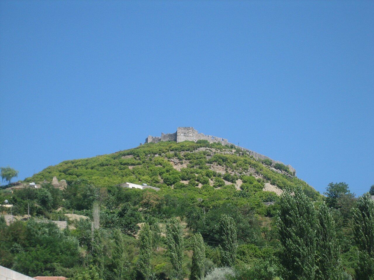
Città di medie dimensioni
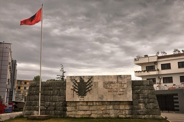
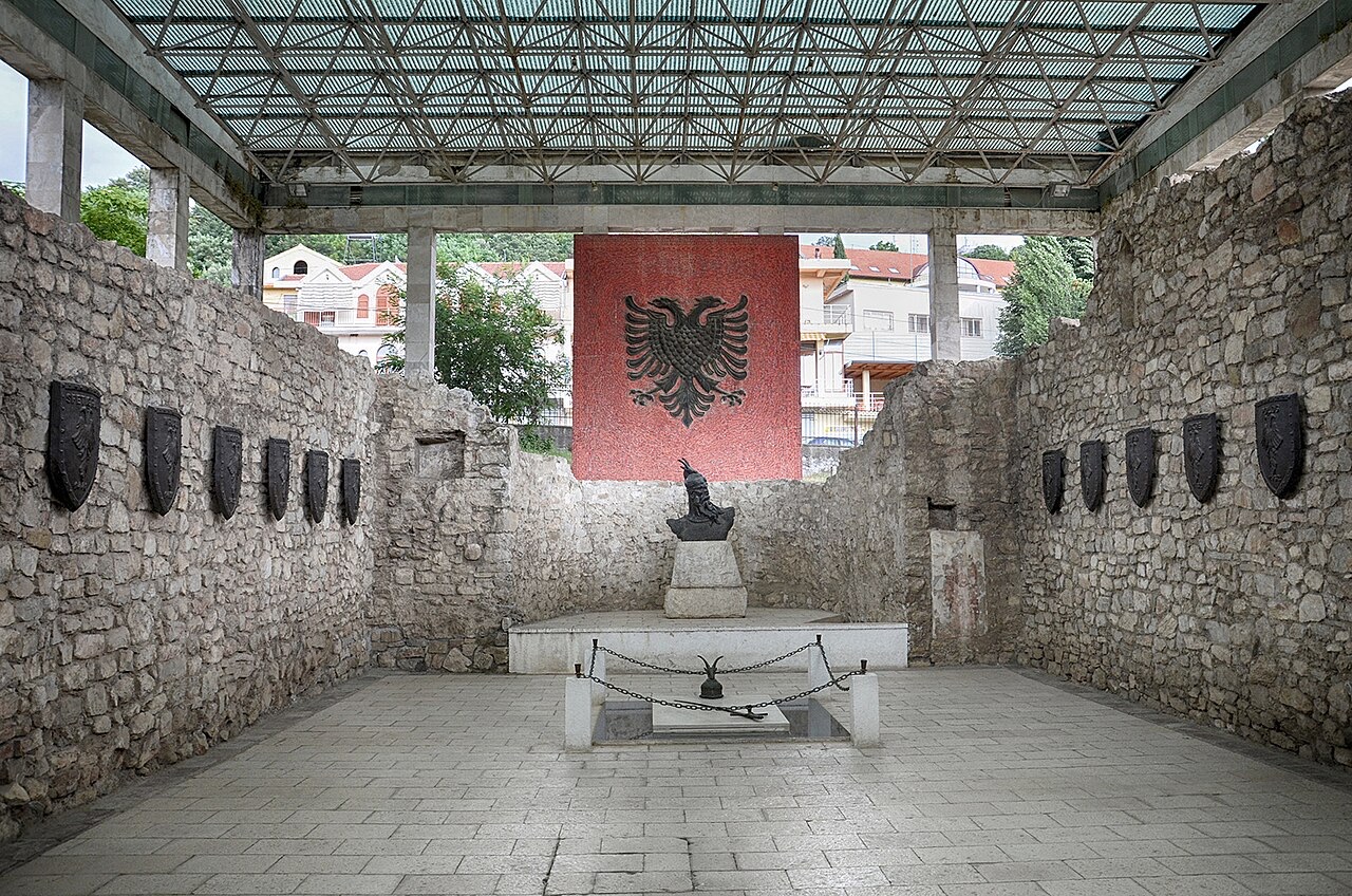
Where the Albanian princes swore their 1444 league, and where Skanderbeg is buried.
Salva
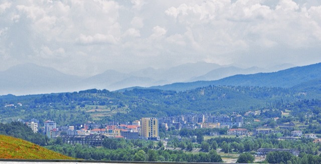
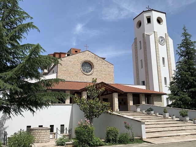
Lezhë is a small town near the north coast. In 1444 the Albanian noble families met here and agreed to fight together against the Ottomans. Skanderbeg, their leader, was buried in the town's church.
Lezhë is a small town near the north coast. In 1444 the Albanian noble families met here and agreed to fight together against the Ottomans. Skanderbeg, their leader, was buried in the town's church.
Il mese più caldo è August (massima giornaliera media 30°C), il più freddo è January (minima giornaliera media 2°C), e il più piovoso è November (174 mm). La precipitazione annua totale è in media 1,349 mm. La temperatura del mare raggiunge il picco in agosto, intorno a 25°C.
| Mese | Massima | Minima | Pioggia | Giorni piovosi | Sole/giorno | Mare |
|---|---|---|---|---|---|---|
| January | 10°C | 2°C | 143 mm | 12 | 6.8 h | 14°C |
| February | 12°C | 3°C | 124 mm | 11 | 7.7 h | 12°C |
| March | 14°C | 5°C | 130 mm | 11 | 9.2 h | 14°C |
| April | 18°C | 9°C | 121 mm | 12 | 10.4 h | 15°C |
| May | 22°C | 13°C | 99 mm | 10 | 11.9 h | 19°C |
| June | 27°C | 17°C | 53 mm | 7 | 13.5 h | 23°C |
| July | 30°C | 20°C | 34 mm | 5 | 13.7 h | 26°C |
| August | 30°C | 20°C | 42 mm | 5 | 12.8 h | 25°C |
| September | 25°C | 16°C | 126 mm | 9 | 10.5 h | 24°C |
| October | 21°C | 12°C | 133 mm | 9 | 8.9 h | 22°C |
| November | 16°C | 8°C | 174 mm | 11 | 7.0 h | 19°C |
| December | 12°C | 4°C | 168 mm | 13 | 6.3 h | 16°C |
Fonte: ERA5 reanalysis via Open-Meteo, 1994–2023 · «Massima» e «Minima» sono la temperatura dell'aria massima e minima giornaliera media. «Giorni piovosi» conta i giorni con almeno 1 mm di precipitazione.
Area protetta · Lezhë
Lagoons, pine and one of Albania's few surviving coastal alluvial forests, beside Shëngjin.
Città di medie dimensioni · Lezhë
Where the Albanian princes swore their 1444 league, and where Skanderbeg is buried.
Città di medie dimensioni · Lezhë
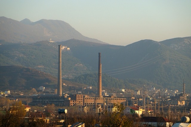
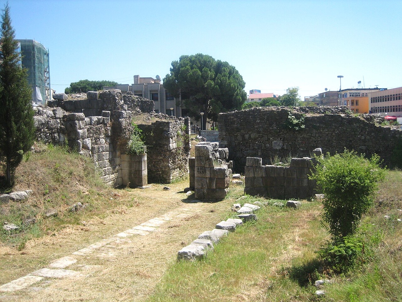
The seat of Mirditë, historic centre of Albania's copper mining region.
Spiaggia · Lezhë
The main northern resort beach, with the Kune-Vain pine and lagoon reserve alongside.
Città di medie dimensioni · Lezhë
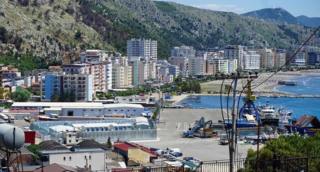
A northern beach resort and small commercial port backed by the Kune-Vain pine lagoons.
Città di medie dimensioni · Lezhë
An industrial town and the site of the Saint Anthony pilgrimage church at Shëngjin i Vogël.
Contea
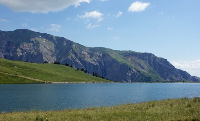
Albania's mountain interior on the North Macedonian border, containing Mount Korab.
Città · Durrës
Albania's principal port and its oldest continuously inhabited city, founded as Epidamnos in 627 BC.
Città · Shkodër
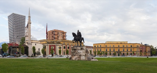
The cultural capital of the north: a lake, a fortress, a bicycle city and a Catholic heartland.
Contea
The capital county: roughly a third of the country's people, its jobs and its universities.
Area protetta · Lezhë
Lagoons, pine and one of Albania's few surviving coastal alluvial forests, beside Shëngjin.
Città di medie dimensioni · Lezhë
The seat of Mirditë, historic centre of Albania's copper mining region.
Città di medie dimensioni · Kukës
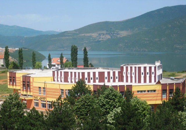
A town rebuilt above a reservoir in the 1970s, and the northern end of the Nation's Road.
Persona
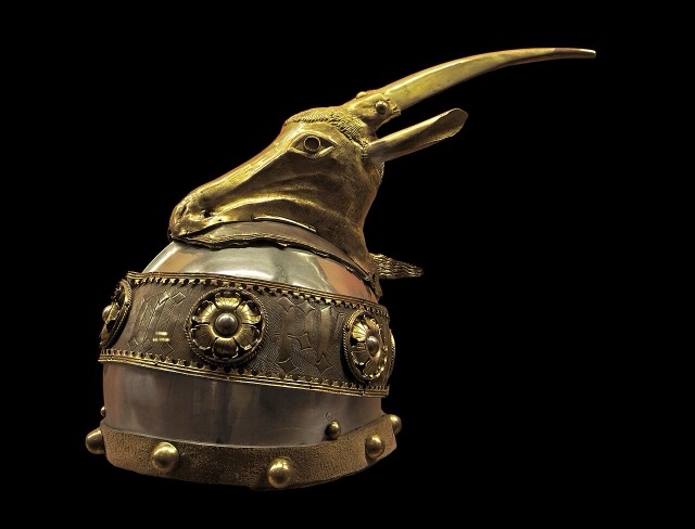
Gjergj Kastrioti: an Ottoman commander who changed sides and held Albania against the empire for twenty-five years.
Periodo storico
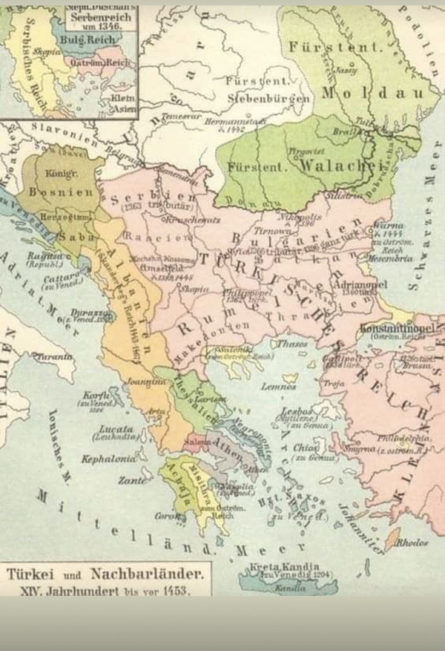
Twenty-five years in which a coalition of Albanian nobles held off the Ottoman Empire at its height.
Bevanda
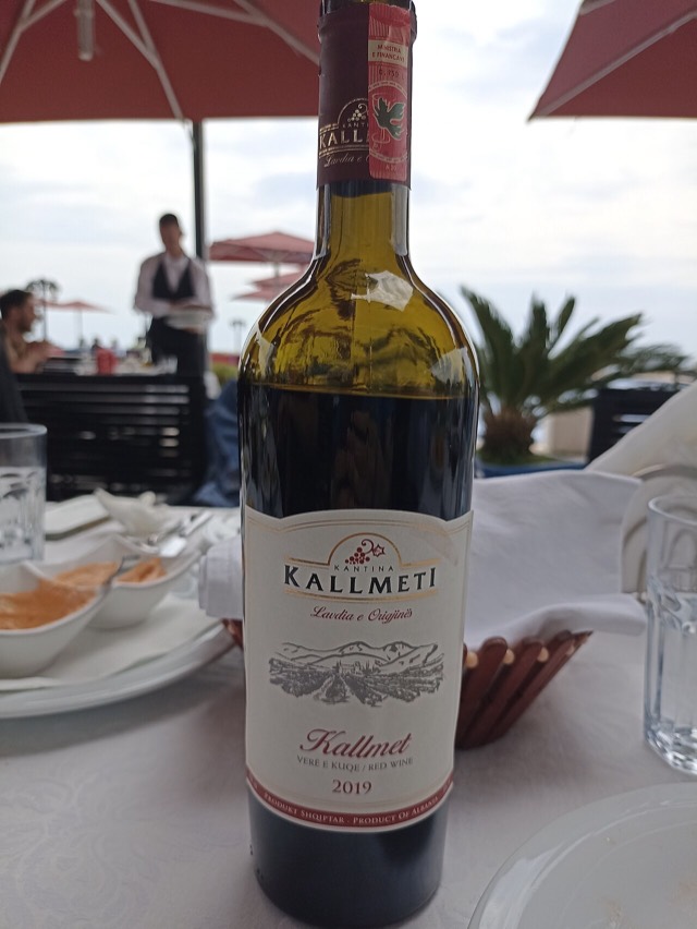
A dark northern red grape from the Lezhë–Shkodër zone, related to Hungary's Kadarka.
Hai notato un errore in questa pagina? Le correzioni sono benvenute e vengono verificate rispetto al record di fonte. Indica cosa è sbagliato e, se possibile, da dove proviene il dato corretto.