城镇 · Lezhë
Lezhë
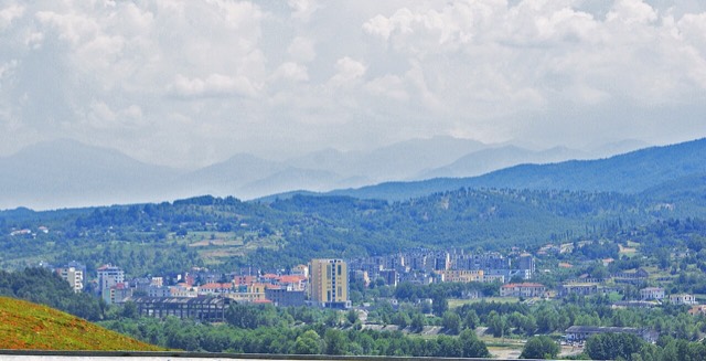
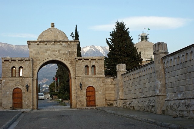
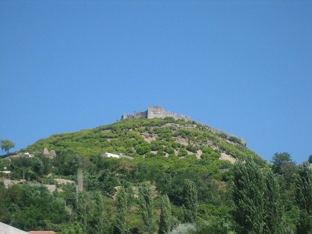
Where the Albanian princes swore their 1444 league, and where Skanderbeg is buried.
每个县、每段海岸、每个世纪
引导视图
初次了解阿尔巴尼亚?每个页面均以通俗易懂的说明开篇——即便是十岁的孩子也能读懂——随后再展开详细内容。
专业视图
您已掌握基础知识。直接进入正题,简明解释默认隐藏。此为默认模式。
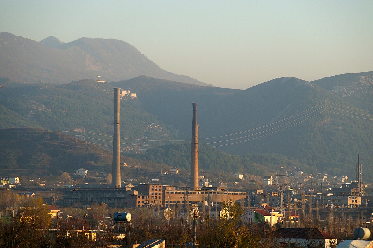
城镇 · Lezhë County
An industrial town and the site of the Saint Anthony pilgrimage church at Shëngjin i Vogël.
保存
Laç is a town with old chemical factories. A church above it draws large pilgrimages, including people of different religions.
Laç is a town with old chemical factories. A church above it draws large pilgrimages, including people of different religions.
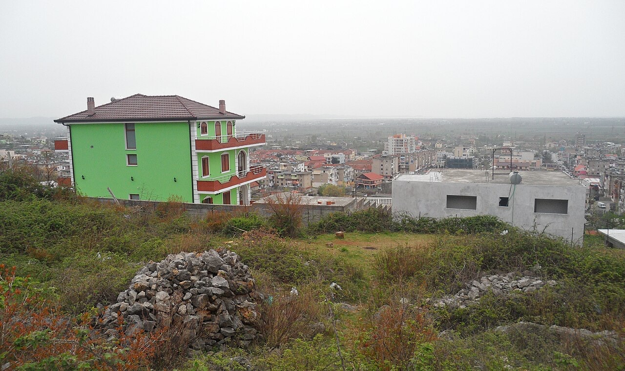
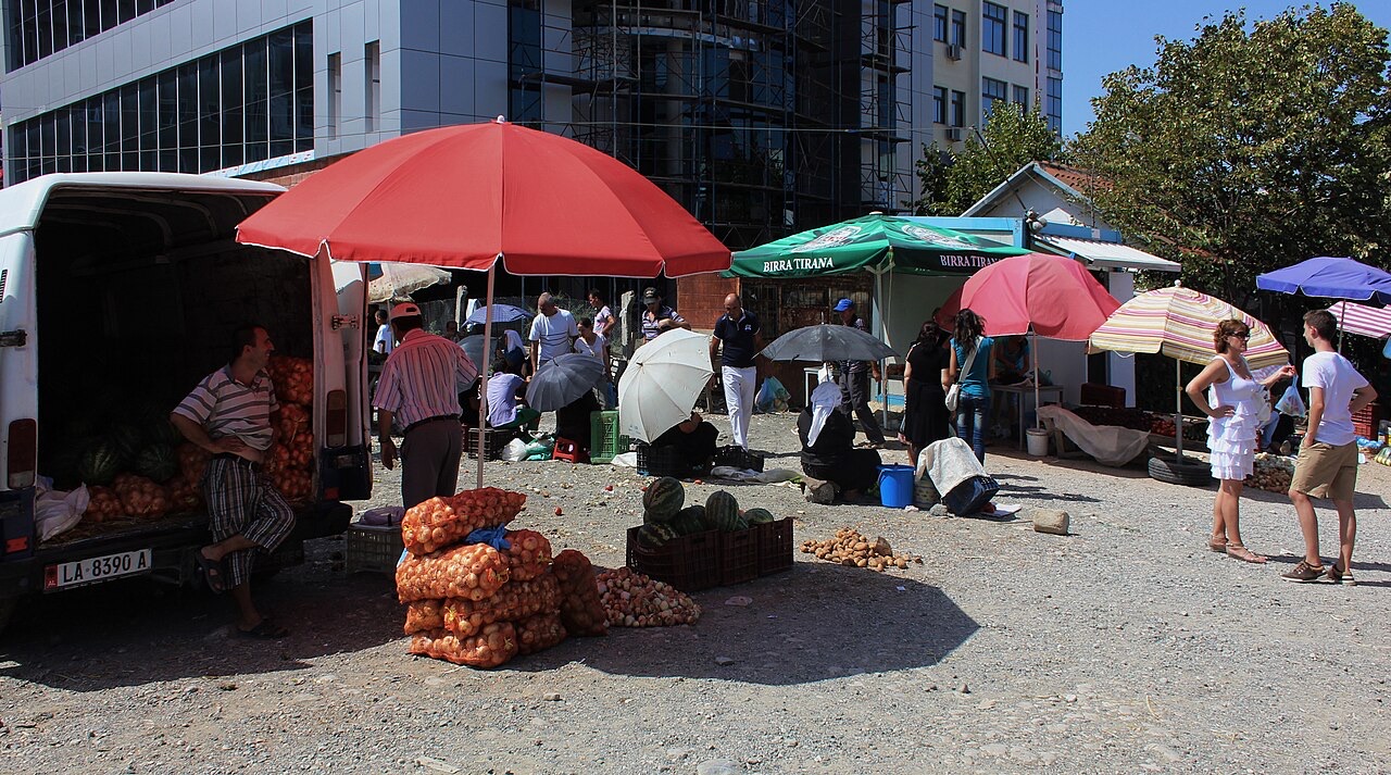
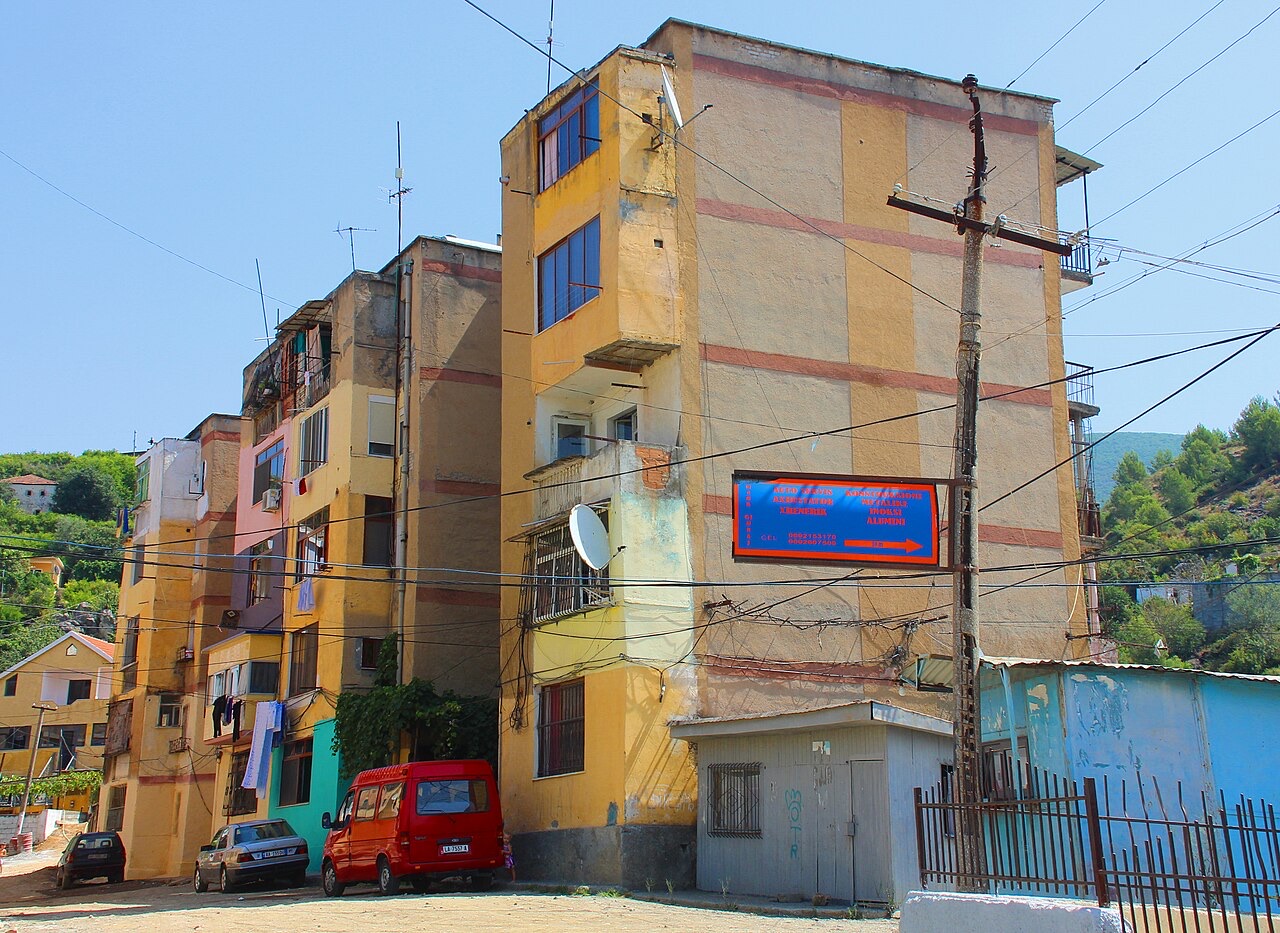
城镇 · Lezhë
Where the Albanian princes swore their 1444 league, and where Skanderbeg is buried.
城镇 · Durrës
The industrial town on the plain below Krujë, and the site of Albania's largest cement works.
主题
Four historic communities — Sunni, Bektashi, Orthodox and Catholic — and a state that banned all of them from 1967 to 1990.
本页内容有误? 欢迎提交更正意见,所有意见均会与原始记录核对。请告知错误所在,如能提供正确数据的出处,请一并注明。