ऐतिहासिक स्थल · Vlorë
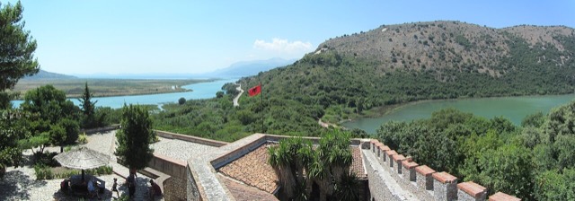
Butrint
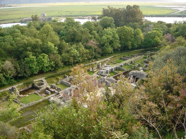
A Greek, Roman, Byzantine, Venetian and Ottoman city layered on one wooded peninsula — Albania's first UNESCO site.
हर काउंटी, हर तट, हर सदी
निर्देशित दृश्य
Albania में नए हैं? हर पृष्ठ एक सरल-भाषा स्पष्टीकरण के साथ खुलता है जिसे आप किसी दस वर्षीय बच्चे को पढ़ कर सुना सकते हैं, इससे पहले कि विस्तृत जानकारी शुरू हो।
विशेषज्ञ दृश्य
आप मूल बातें पहले से जानते हैं। सीधे मूल विषय पर, सरल स्पष्टीकरण छिपे हुए। यह डिफ़ॉल्ट है।
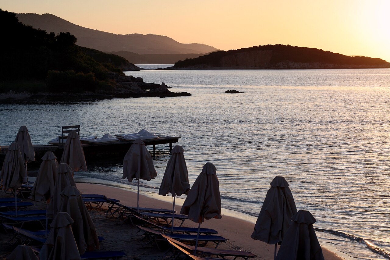
कस्बा · Vlorë County
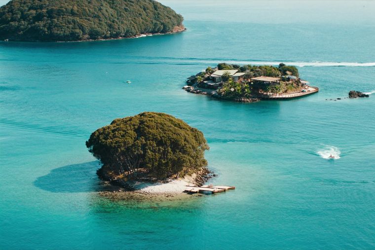
Four small islands and very clear shallow water; the most photographed and most crowded stretch of the Albanian coast.
सहेजें
Ksamil is a small place near the border with Greece with white pebbly beaches and four little islands you can sometimes wade or swim to. The water is very clear and shallow. In July and August it gets extremely busy.
Ksamil is a small place near the border with Greece with white pebbly beaches and four little islands you can sometimes wade or swim to. The water is very clear and shallow. In July and August it gets extremely busy.
Ksamil is a coastal village in the riviera of southern Albania, situated south of Sarandë on the road to Butrint. It lies within the boundaries of Butrint National Park and sits on the Ionian coast near the Greek border.
The village was established during the communist era, in 1966, making it a planned settlement rather than a historic town. Its founding date distinguishes it from older settlements in the region, and its layout reflects the period in which it was built.
Ksamil was formerly a municipality in its own right. Under the 2015 local government reform in Albania, it lost that status and became a subdivision of the municipality of Sarandë.
The municipal unit of Ksamil consists of two villages: Ksamil itself and Manastir. The unit's name in Albanian is Ksamili, and in Greek the area is referred to as Εξαμίλι.
The 2023 census recorded a population of 2,731 for Ksamil. This figure contrasts sharply with the figure held by the Civil Offices, which recorded 9,137 residents in 2018. The disparity between the two counts reflects a significant gap between registered and census-enumerated populations.
Official estimates from 2014 put the population of the commune at 9,215. Of those, 4,207 were recorded as Greeks, seven as Aromanians, and the remainder as Albanians.
In 1992, Ksamil village had a mixed population comprising Muslim Albanians (1,125), Greeks (520), and Orthodox Albanians (210). This breakdown indicates that the settlement has historically contained a substantial Greek-speaking minority alongside Albanian communities of differing religious affiliations.
By 2014, official estimates indicated that Greeks constituted a near-majority within the commune, with 4,207 out of a total of 9,215. Seven individuals were recorded as Aromanians. These figures are official estimates rather than census results and should be treated accordingly.
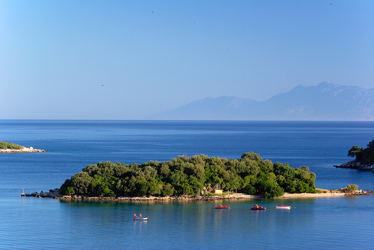
The principal natural attraction associated with Ksamil is the group of small offshore islands known as the Ksamil Islands. These islands are described as the main draw for visitors to the area.
The beaches around Ksamil, including those near the islands, are characterised by white sand. The Guardian included Ksamil Beach and Albania's broader Ionian coast to the north in its list of 20 of the best bargain beach holidays for 2013.
Ksamil is recorded as one of the most frequently visited coastal resorts in Albania, drawing both domestic and international tourists. In recent years, visitors from Kosovo and other Albanian-speaking areas have been among the more prominent domestic tourist groups.
Growing international tourism has driven the construction of new hotel facilities in the area. The same growth has been accompanied by rising prices. The article does not specify when this pattern of development began or provide precise figures for visitor numbers.
Ksamil sits within Butrint National Park, which is itself a major draw for visitors to the region. The park and the ancient site of Butrint lie close to Ksamil along the same road south from Sarandë.
Other sites accessible from Ksamil include the Blue Eye spring at Muzinë and the town of Sarandë to the north. Several smaller beaches are located north of Ksamil along the coast. These sites collectively form the range of activities available to those staying in the village.
Ksamil occupies the southern end of the Albanian Riviera, close to the Greek border. Its position between Sarandë and the Butrint lagoon places it at the junction of coastal tourism and protected natural and archaeological landscape.
The village's growth from a 1966 communist-era settlement into a recognised tourist destination on an internationally published list of bargain beach destinations illustrates how rapidly the area's character changed after Albania opened to foreign visitors in the 1990s. The article does not provide detail on the rate or specific chronology of that transition.
सबसे गर्म महीना है August (औसत दैनिक अधिकतम 31°C), सबसे ठंडा है January (औसत दैनिक न्यूनतम 6°C), और सबसे अधिक वर्षा वाला है November (205 mm). कुल वार्षिक वर्षा का औसत है 1,204 mm. समुद्र का तापमान अगस्त में लगभग अपने चरम पर पहुँचता है 26°C.
| माह | अधिकतम | न्यूनतम | वर्षा | वर्षा के दिन | धूप/दिन | समुद्र |
|---|---|---|---|---|---|---|
| January | 12°C | 6°C | 139 mm | 12 | 7.2 h | 16°C |
| February | 13°C | 6°C | 120 mm | 11 | 8.0 h | 16°C |
| March | 15°C | 7°C | 109 mm | 11 | 9.6 h | 16°C |
| April | 18°C | 10°C | 75 mm | 10 | 10.9 h | 16°C |
| May | 23°C | 15°C | 51 mm | 7 | 12.1 h | 19°C |
| June | 27°C | 19°C | 27 mm | 4 | 13.6 h | 24°C |
| July | 30°C | 22°C | 13 mm | 2 | 13.8 h | 26°C |
| August | 31°C | 22°C | 21 mm | 3 | 12.9 h | 26°C |
| September | 26°C | 19°C | 110 mm | 8 | 10.6 h | 26°C |
| October | 22°C | 15°C | 146 mm | 10 | 9.1 h | 25°C |
| November | 17°C | 11°C | 205 mm | 13 | 7.1 h | 21°C |
| December | 13°C | 7°C | 187 mm | 13 | 6.5 h | 18°C |
स्रोत: ERA5 reanalysis via Open-Meteo, 1994–2023 · "अधिकतम" और "न्यूनतम" क्रमशः औसत दैनिक अधिकतम और न्यूनतम वायु तापमान हैं। "वर्षा के दिन" उन दिनों की गणना करता है जिनमें कम से कम 1 मिमी वर्षण हुई हो।
ऐतिहासिक स्थल · Vlorë
A Greek, Roman, Byzantine, Venetian and Ottoman city layered on one wooded peninsula — Albania's first UNESCO site.
शहर · Vlorë
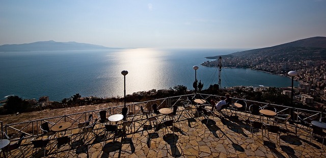
The Ionian resort town facing Corfu, and the arrival point for most visitors to southern Albania.
संरक्षित क्षेत्र · Vlorë
A wetland and forest park wrapped around the archaeological city, on the Vivari channel.
झरना (स्रोत) · Vlorë
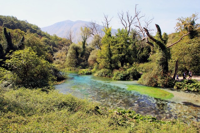
A karst spring of extraordinary clarity whose bottom has never been definitively reached.
बंदरगाह · Vlorë
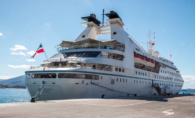
A small passenger port whose Corfu crossings are the busiest sea route into southern Albania.
फ़ेरी मार्ग · Vlorë
The busiest sea crossing into southern Albania, and the usual day-trip link with Greece.
समुद्र तट · Vlorë
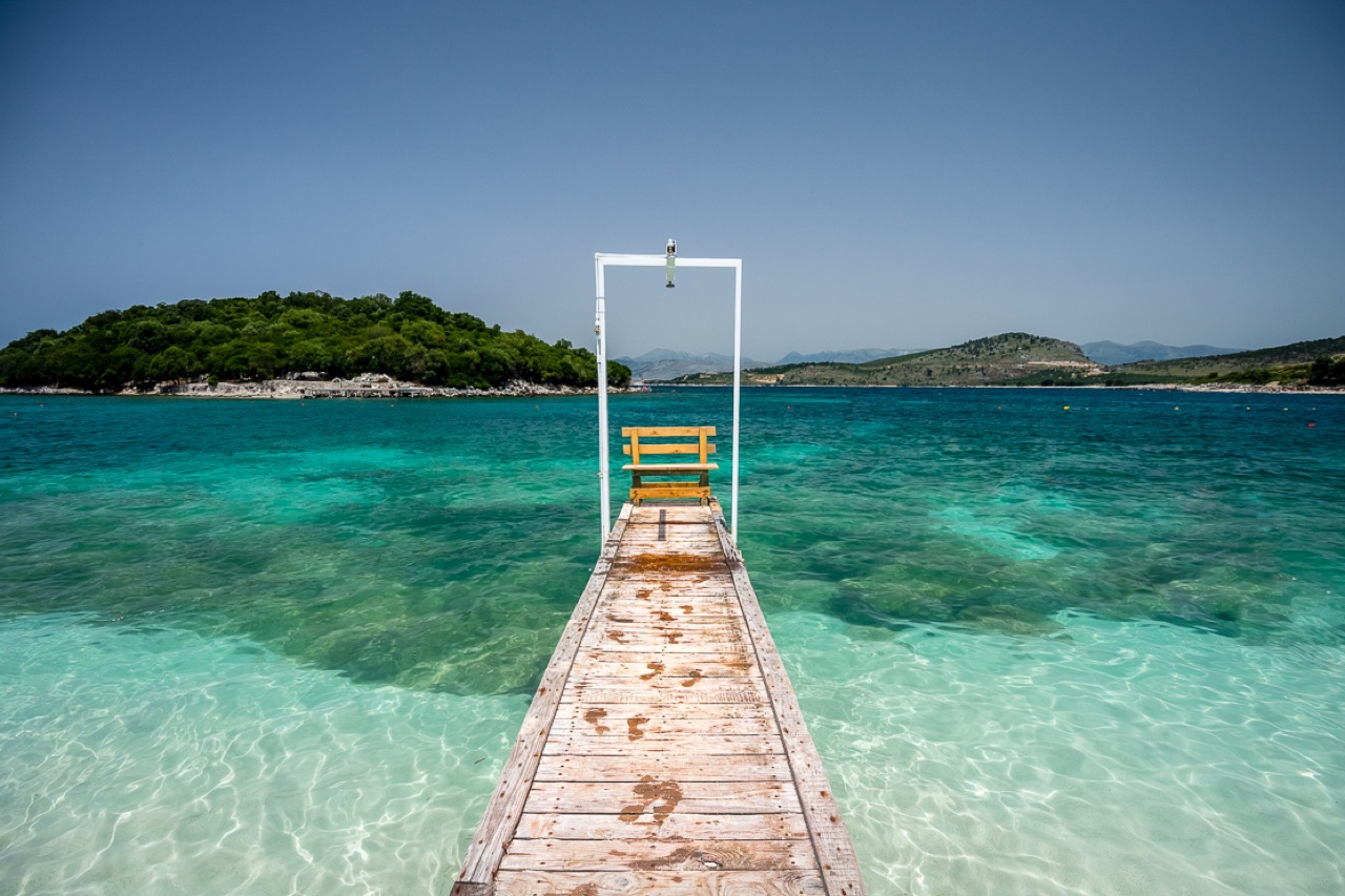
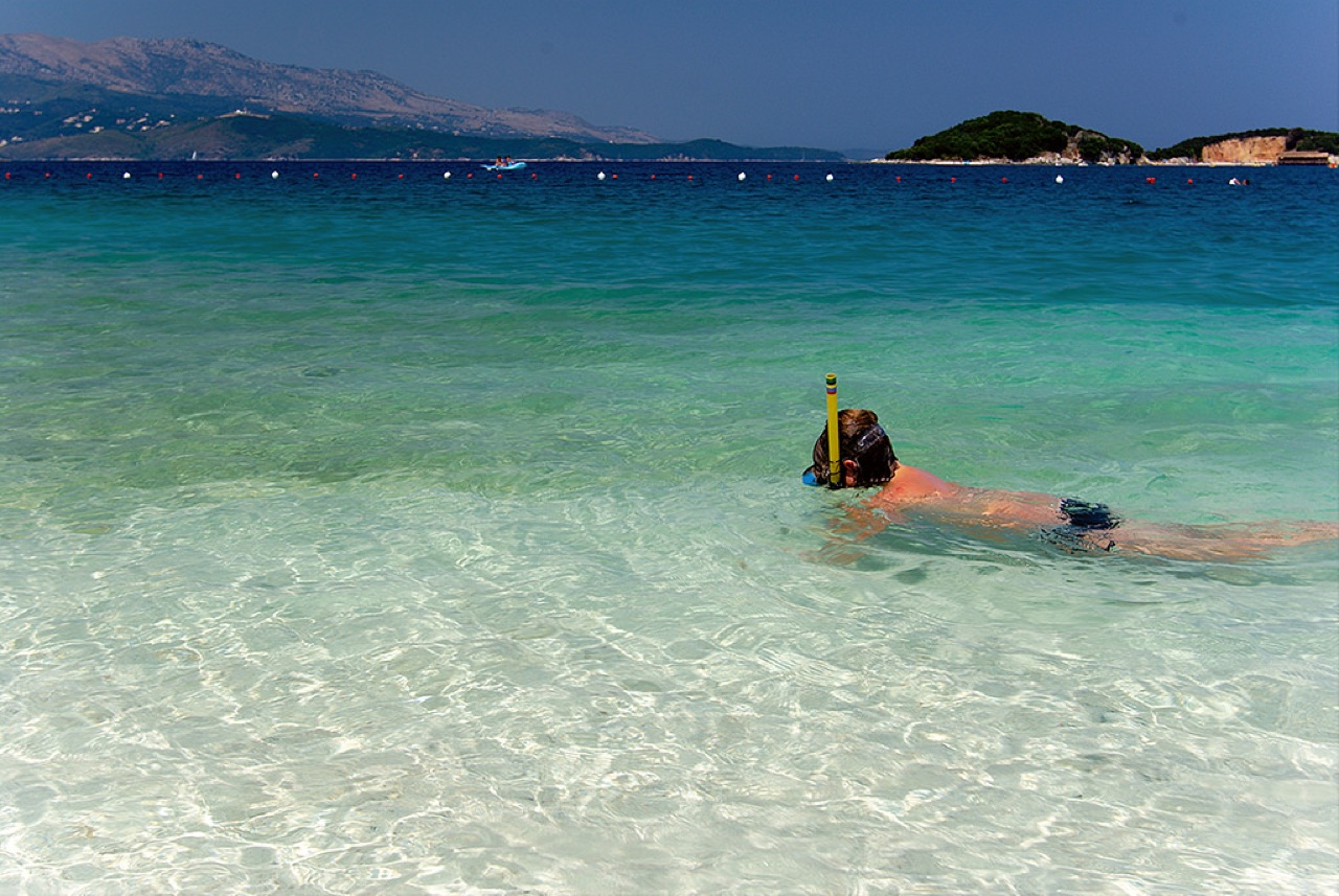
Shallow, very clear water and four low islets a short swim offshore.
विषय · Vlorë
The 120 km of Ionian coast between the Llogara pass and Sarandë, where the Ceraunian mountains fall straight into the sea.
समुद्र तट · Vlorë
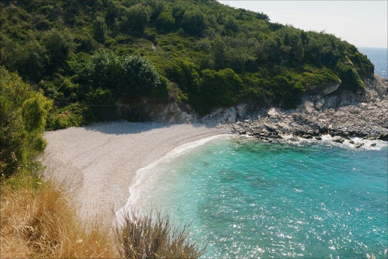
A small cove between Sarandë and Ksamil, reached by a rough track.
मार्गदर्शिका
One road, roughly 120 km, and about twenty places to stop. What each of them is actually like.
तुलना
Two coastal cities 120 km apart that solve different problems: Sarandë is the base for the far south, Vlorë is a working city…
इस पृष्ठ पर कुछ गलत है? सुधार स्वागतयोग्य हैं और स्रोत अभिलेख के विरुद्ध जाँचे जाते हैं। हमें बताएँ क्या गलत है और, यदि संभव हो, तो सही आँकड़ा कहाँ से आता है।