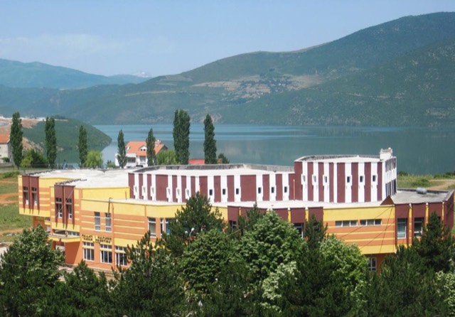
بلدة · Kukës
Bajram Curri
The road head for the Valbona valley, named after a guerrilla leader of the 1920s.
كل مقاطعة، كل ساحل، كل قرن
عرض إرشادي
هل أنت جديد على ألبانيا؟ تفتتح كل صفحة بشرح مبسّط يمكن قراءته لطفل في العاشرة من عمره، قبل أن تبدأ التفاصيل.
عرض للمتخصصين
أنت تعرف الأساسيات بالفعل. مباشرةً إلى الجوهر، مع إخفاء الشروح المبسّطة. هذا هو الوضع الافتراضي.
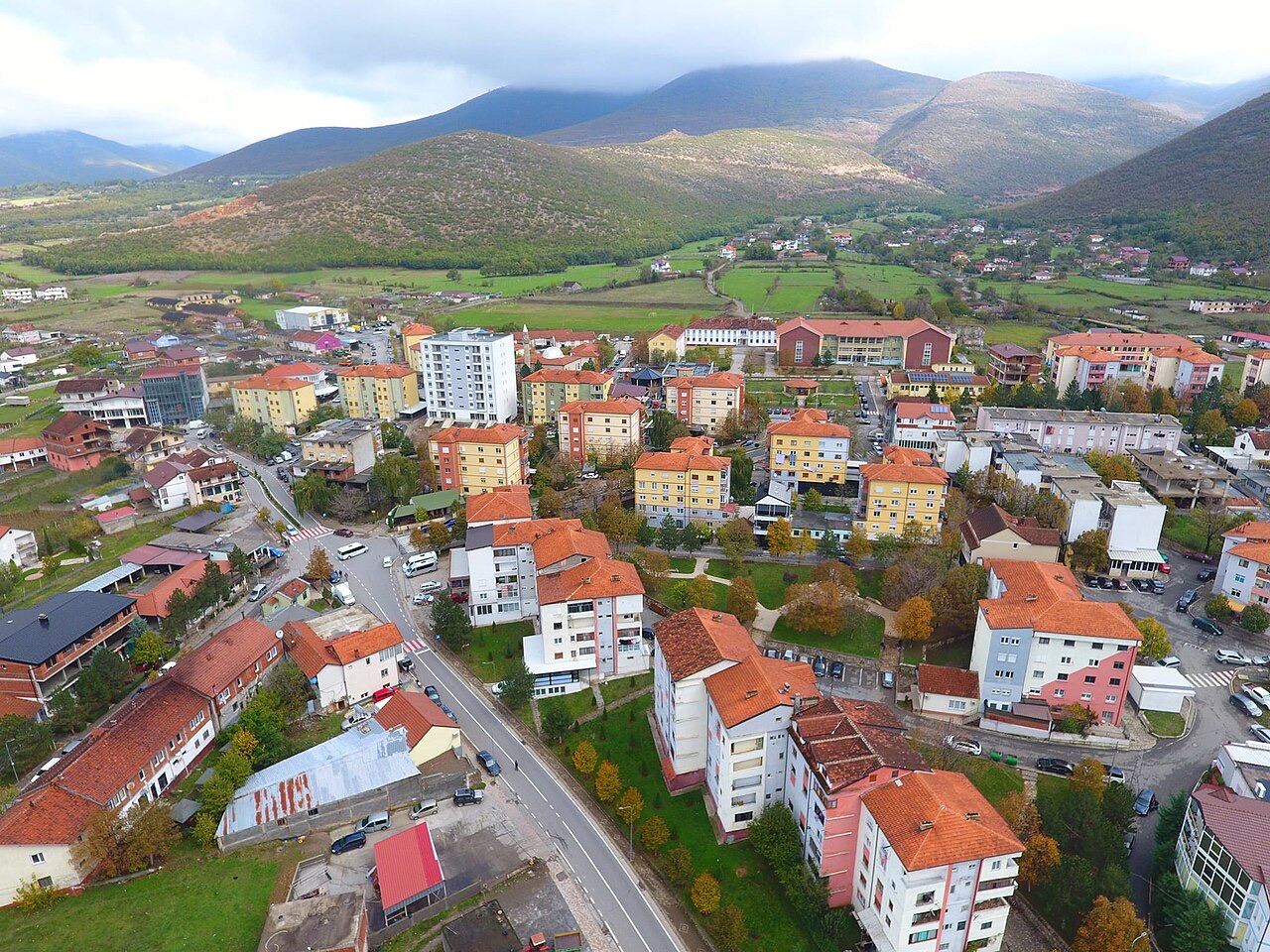
بلدة · Kukës County
The seat of Has municipality in the north-eastern hills near Kosovo.
حفظ
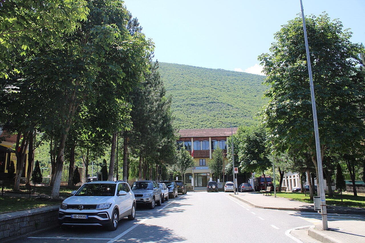
Krumë is a small town in the hills near the border with Kosovo.
Krumë is a small town in the hills near the border with Kosovo.
Krumë is a town in northern Albania, situated within Kukës County in the municipality of Has. It lies at approximately 430 metres above sea level in a mountainous region, at the north-west foot of the Bjeshka e Krumes mountain, known in English as Kruma Highland or Mount of Kruma.
The town sits about 10 kilometres from the Kosovo border, placing it in a zone of cross-border significance. It serves as the principal town of the ethnographic region of Has, a district whose population has maintained distinct cultural traditions over centuries.
The Bjeshka e Krumes mountain rises directly behind the town to the north-east, defining both the local landscape and the town's name. A few kilometres to the south, Maja e Gjytezës reaches an altitude of 1,435 metres above sea level.
The mountainous terrain is characteristic of this part of Kukës County, with significant elevation changes across short distances. The area's topography shapes both the settlement pattern and the range of economic activities available to residents.
From the Bjeshka e Krumes mountain comes a substantial underground water source known as Vrella. The article describes it as a large source of clean water that serves the domestic freshwater needs of the local population.
The Vrella source represents the principal supply of drinking water for Krumë's residents. Its origin in the mountain terrain above the town reflects the broader hydrological character of this part of northern Albania.
Has is both an administrative municipality and a recognised ethnographic region of Albania. Krumë functions as its principal town, acting as the administrative and commercial centre for the wider Has area.
The population of Has is recorded as having maintained distinct cultural traditions over centuries, though the article does not detail the specific nature of those traditions. This cultural distinctiveness is noted as a characteristic of the region rather than a recent development.
In April 1999, Yugoslav soldiers fired artillery shells at Krumë. At the time, the town was sheltering refugees who had fled from Kosovo, which was then the site of intense conflict during the Kosovo War.
The shelling resulted in no casualties, but three houses were destroyed. The incident is recorded separately in the Wikipedia article on the Albania–Yugoslav border incident of 1999, indicating it was treated as a distinct diplomatic and military event rather than an isolated act.
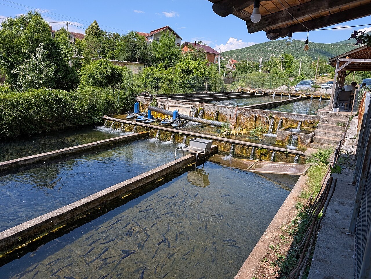
The principal economic activities in Krumë are copper mining and agriculture. The article does not specify the scale of copper extraction, the location of mines relative to the town, or the range of agricultural produce.
Cross-border trade with Kosovo has been identified as a potential avenue for strengthening the local economy, reflecting the town's proximity to the border approximately 10 kilometres away.
Some effort has been made to promote small-scale tourism in and around Krumë. The article identifies rural tourism, hiking, and exploration of the natural environment of the Has region as the activities being promoted.
The article does not quantify visitor numbers, describe specific hiking routes, or identify the bodies responsible for tourism promotion. The initiative is presented as ongoing rather than established.
Krumë is administratively part of the municipality of Has within Kukës County. Kukës County occupies the far north-east of Albania, bordering both Kosovo and North Macedonia, though the article focuses specifically on Krumë's relationship with Has municipality.
As the principal town of Has municipality, Krumë would be expected to house local government functions for the surrounding area, though the article does not explicitly describe its administrative role beyond identifying it as the region's main settlement.
أكثر الأشهر دفئاً هو August (متوسط أعلى درجة حرارة يومية 28°C), وأبردها هو January (متوسط أدنى درجة حرارة يومية -2°C), وأكثرها مطراً هو December (106 mm). يبلغ متوسط هطول الأمطار السنوي الإجمالي 868 mm.
| الشهر | الأعلى | الأدنى | الأمطار | أيام المطر | ساعات الشمس/اليوم |
|---|---|---|---|---|---|
| January | 6°C | -2°C | 92 mm | 11 | 6.6 h |
| February | 7°C | -1°C | 80 mm | 11 | 7.7 h |
| March | 11°C | 2°C | 88 mm | 11 | 9.1 h |
| April | 15°C | 6°C | 84 mm | 12 | 10.4 h |
| May | 20°C | 11°C | 73 mm | 12 | 11.6 h |
| June | 25°C | 15°C | 43 mm | 9 | 13.3 h |
| July | 28°C | 18°C | 39 mm | 6 | 13.4 h |
| August | 28°C | 18°C | 33 mm | 6 | 12.5 h |
| September | 23°C | 14°C | 63 mm | 8 | 10.2 h |
| October | 18°C | 9°C | 71 mm | 9 | 8.6 h |
| November | 12°C | 4°C | 96 mm | 10 | 6.9 h |
| December | 7°C | 0°C | 106 mm | 12 | 6.1 h |
المصدر: ERA5 reanalysis via Open-Meteo, 1994–2023 · "الأعلى" و"الأدنى" هما متوسط أقصى وأدنى درجة حرارة يومية للهواء. تحسب "أيام المطر" الأيام التي يبلغ فيها الهطول مليمتراً واحداً على الأقل.
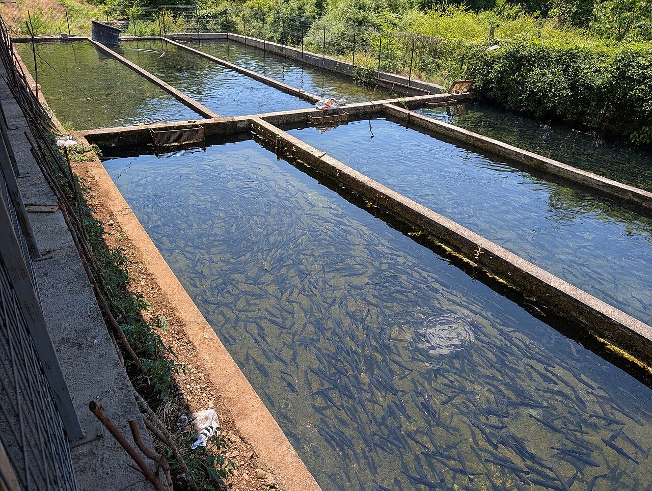
بلدة · Kukës
The road head for the Valbona valley, named after a guerrilla leader of the 1920s.
بلدة · Kukës
A town rebuilt above a reservoir in the 1970s, and the northern end of the Nation's Road.
ثمة خطأ في هذه الصفحة؟ نرحب بالتصويبات وتُراجَع في مواجهة سجل المصدر. أخبرنا بما هو خاطئ، وإن أمكن، بالمكان الذي يأتي منه الرقم الصحيح.