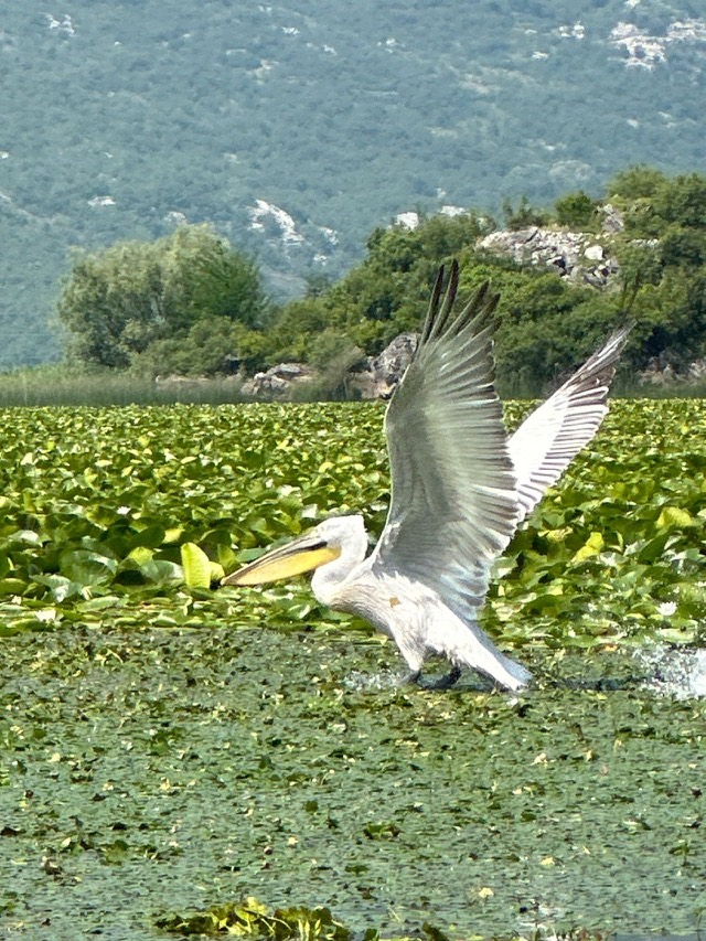
Ciudad · Shkodër
Shkodër
The cultural capital of the north: a lake, a fortress, a bicycle city and a Catholic heartland.
Cada condado, cada costa, cada siglo
Vista guiada
¿Nuevo en Albania? Cada página comienza con una explicación en lenguaje sencillo que cualquiera podría entender, antes de entrar en los detalles.
Vista experta
Ya conoces los fundamentos. Directo al contenido, con las explicaciones básicas ocultas. Esta es la vista predeterminada.
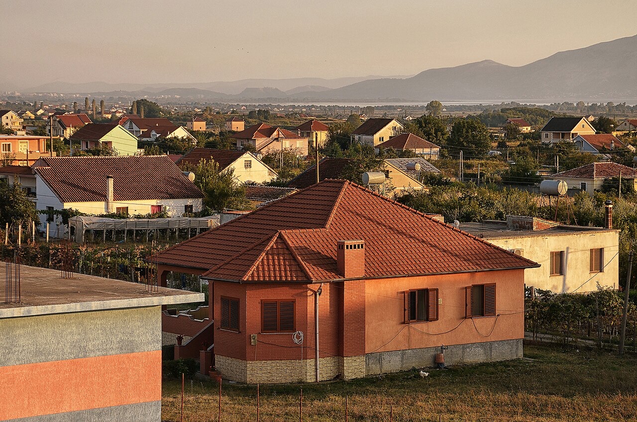
Localidad · Shkodër County
The seat of Malësi e Madhe, at the foot of the Alps near the Montenegrin border.
Guardar
Koplik is a town at the bottom of the northern mountains, near Montenegro.
Koplik is a town at the bottom of the northern mountains, near Montenegro.
Koplik, also known as Koplik i Poshtëm, is a town in northwestern Albania, situated north of the city of Shkodër. It was formerly a municipality in its own right and served as the seat of the Malësi e Madhe District.
Under the 2015 local government reform, Koplik lost its status as a separate municipality and became a subdivision and the administrative seat of the enlarged municipality of Malësi e Madhe. The population recorded at the 2011 census was 3,734.
As of June 2016, the Albanian government registered and administers Koplik as an international free economic trade zone.
The earliest recorded form of the name appears as Cupelnich around 1200 in the work of Presbyter Diocleas. Subsequent spellings reflect shifting administrative and cartographic traditions across several centuries.
The name is recorded as Kupêlnik in 1348 and Copenico in 1416. The Venetian writer Mariano Bolizza used the form Chopilich in his 1614 report. The Venetian cartographer Francesco Maria Coronelli rendered it as Coppilico on his 1688 map, while the Italian cartographer Giacomo Cantelli da Vignola used Coplico on his 1689 map.
The Catholic Archbishop of Bar, Vincentius Zmajevich, used the form Copelico in his 1703 report, the latest of the recorded historical variants.
Mariano Bolizza mentioned the settlement, recorded as Cupionich, in his 1614 report. At that time it was part of the Sanjak of Scutari, had a Roman Catholic population of 60 houses and 130 men at arms, commanded by a figure named Pecha Campersa.
During the period of Ottoman occupation, many inhabitants of the town converted to Islam. The rural population of Malësia e Madhe, by contrast, remained predominantly Catholic.
As a border town, Koplik was frequently caught up in military conflict. The fierce independence associated with the Malësor tribesmen of the surrounding highlands meant the area was repeatedly involved in wars against the Ottomans and, later, against Serbian and Yugoslav forces.
After the First World War, the region of Malsia e Madhe was divided. The area surrounding Tuzi was assigned to the Kingdom of Montenegro, while the area around Koplik remained within Albania. Koplik was subsequently established as the regional capital of Malsia e Madhe.
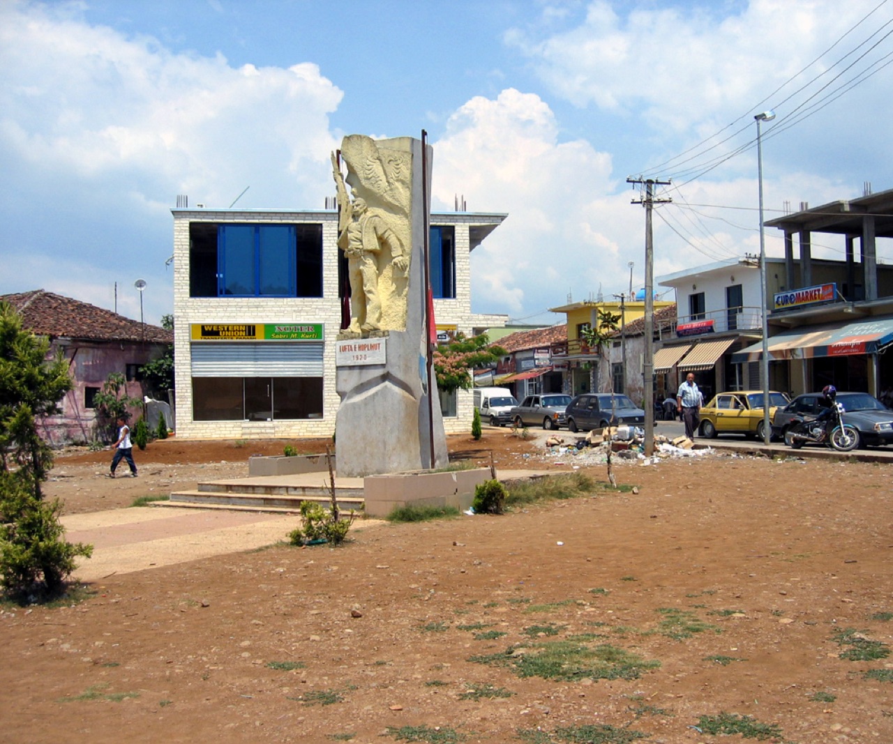
In 1920, Albanian forces defeated Yugoslav forces in what is recorded locally as the Koplik War. A monument in the town commemorates this engagement.
The communist regime that followed imposed heavy restrictions on population movement. After the fall of communism in 1991, Koplik experienced a significant influx of settlers arriving from the surrounding countryside.
Koplik was elevated to city status in 1984. A municipality was granted following the first democratic elections, held on 26 July 1992.
The municipality maintains an official website, kopliku.org, where information about local government employees, budgets, and other administrative matters is published.
Koplik functions as the principal trading centre for Malsia e Madhe. Residents of the surrounding rural villages travel to the town for household goods, clothing, healthcare, and other services. The town contains shops, restaurants, hardware stores, internet cafes, a casino, branches of major Albanian banks, hunting shops for licensed firearms and ammunition, mobile phone shops, and bureaux de change.
The main secondary school serving the surrounding villages is located in Koplik. Its combined administrative and commercial role generates a continuous flow of people from the wider area throughout the day.
Koplik also serves as a transport hub for the valleys of Malsia, with at least half a dozen minibuses present in the town at any point during the day.
There is no passenger rail service from Koplik. The primary means of public transport is a network of privately owned and operated minibuses running along the main highway, with services arriving approximately every three to five minutes on average.
Because each minibus is privately operated, there are no fixed fares. Passengers pay a market rate according to the length of their journey. As an example, the fare from Koplik to the village of Dober — a distance of roughly two to three miles — was reported at around 20 lek.
Road quality was historically poor. Government investment in recent years has improved the central highway running through the province and resulted in the asphalting of most village roads.
Lake Shkodër and the mountainous terrain of Malësia e Madhe serve as recreational areas associated with Koplik. The article notes that the town receives hundreds if not thousands of tourists annually, though it specifies that these visitors are mainly expatriate Albanians returning to see family.
Koplik is described as a starting point for hikers wishing to explore Malsia e Madhe — a name translating into English as the 'Great Highlands'. The area attracted notable outside attention in the early twentieth century, most prominently through the travels of the anthropologist Edith Durham, whose book High Albania documents the region. Lord Byron, Margaret Hasluck, and various Albanian writers are also cited in the article as figures who gave the area literary attention.
The football club associated with the town is KS Veleçiku Koplik.
El mes más cálido es August (máxima diaria media 30°C), el más frío es January (mínima diaria media 2°C), y el más lluvioso es November (266 mm). La precipitación anual total promedia 1,890 mm.
| Mes | Máx. | Mín. | Lluvia | Días de lluvia | Sol/día |
|---|---|---|---|---|---|
| January | 9°C | 2°C | 199 mm | 13 | 6.3 h |
| February | 10°C | 3°C | 186 mm | 12 | 7.2 h |
| March | 13°C | 6°C | 180 mm | 12 | 8.9 h |
| April | 17°C | 10°C | 161 mm | 14 | 10.0 h |
| May | 22°C | 15°C | 130 mm | 13 | 11.7 h |
| June | 26°C | 19°C | 70 mm | 10 | 13.3 h |
| July | 29°C | 22°C | 44 mm | 7 | 13.6 h |
| August | 30°C | 22°C | 50 mm | 7 | 12.7 h |
| September | 24°C | 18°C | 167 mm | 9 | 10.3 h |
| October | 20°C | 13°C | 177 mm | 10 | 8.6 h |
| November | 14°C | 9°C | 266 mm | 13 | 6.4 h |
| December | 10°C | 4°C | 260 mm | 14 | 5.8 h |
Fuente: ERA5 reanalysis via Open-Meteo, 1994–2023 · «Máx.» y «Mín.» son la temperatura del aire máxima y mínima diaria media. «Días de lluvia» cuenta los días con al menos 1 mm de precipitación.
Ciudad · Shkodër
The cultural capital of the north: a lake, a fortress, a bicycle city and a Catholic heartland.
Lago · Shkodër
The largest lake in southern Europe, shared with Montenegro and a major bird wintering ground.
Pueblo · Shkodër
A glacial valley village in the Albanian Alps: a lock-in tower, a waterfall, and one end of the country's best-known trek.
Cordillera · Shkodër
The limestone wall of the far north — locally the Accursed Mountains — shared with Montenegro and Kosovo.
¿Algo incorrecto en esta página? Las correcciones son bienvenidas y se contrastan con el registro fuente. Indíquenos qué es incorrecto y, si puede, de dónde procede el dato correcto.