도시 · Tiranë
Tirana
The capital: a fast-changing city of painted blocks, Ottoman survivals and new towers, under Mount Dajti.
모든 주, 모든 해안, 모든 세기
안내 보기
알바니아가 처음이신가요? 모든 페이지는 세부 내용이 시작되기 전에, 열 살짜리 아이도 이해할 수 있는 평이한 설명으로 시작됩니다.
전문가 보기
기본 내용은 이미 알고 계신가요? 간단한 설명은 숨기고 핵심 내용만 바로 확인하세요. 이것이 기본 설정입니다.
소도시 · Tiranë County
A city on Tirana's northern edge that grew almost entirely from internal migration after 1991.
저장
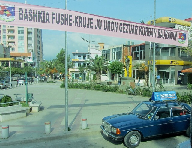
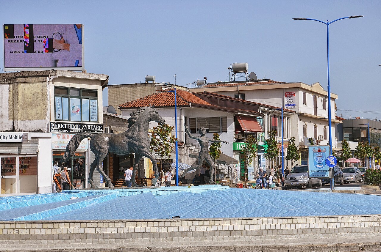
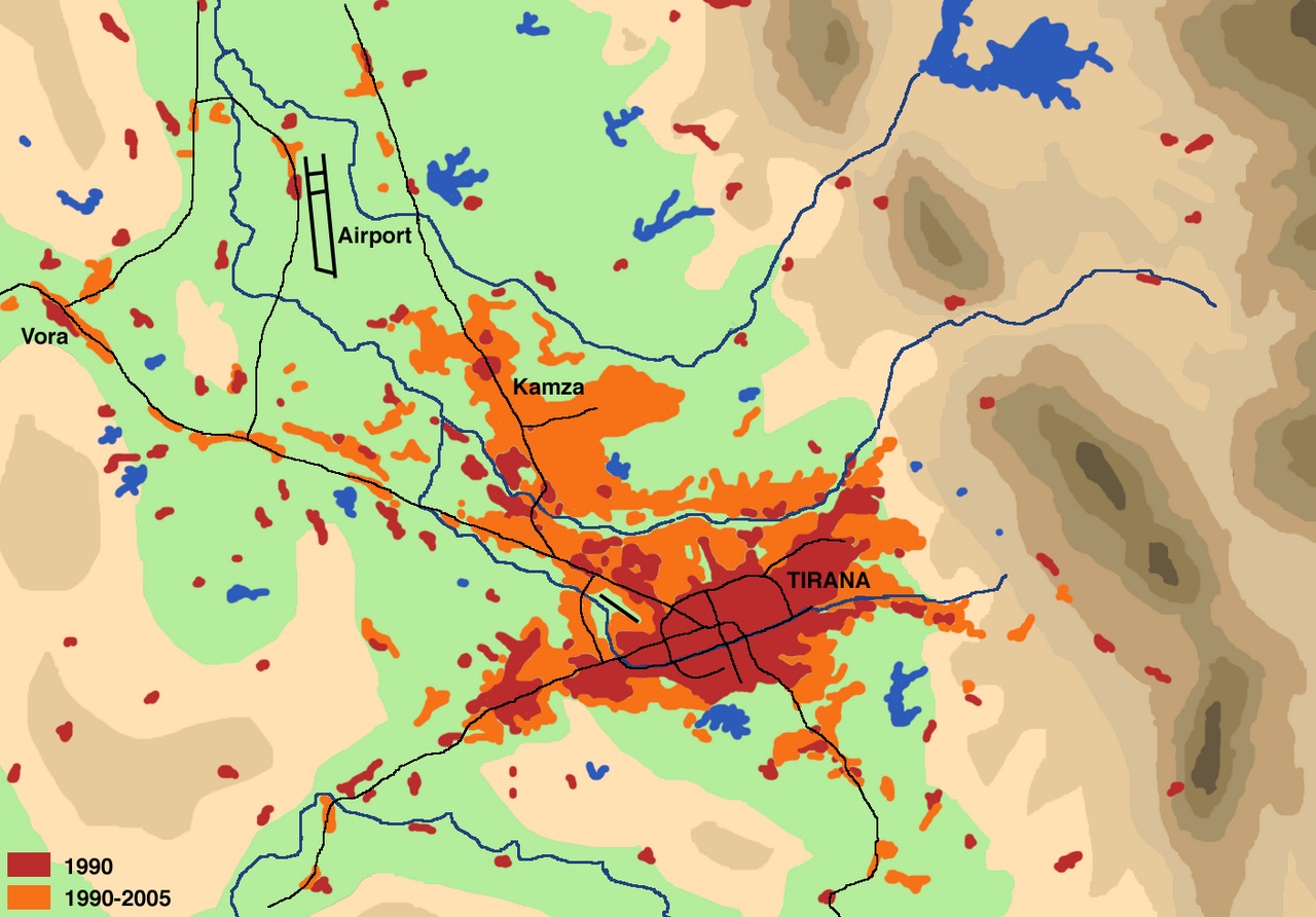
Kamëz barely existed before 1991. It grew very fast as people moved down from the mountains to be near Tirana, and it is now one of Albania's larger municipalities.
Kamëz barely existed before 1991. It grew very fast as people moved down from the mountains to be near Tirana, and it is now one of Albania's larger municipalities.
Kamëz is a municipality in Tirana County, Albania. Its seat is the town of Kamëz, and the municipality covers a total area of 37.20 square kilometres. The wider municipality had a population of 96,137 at the 2023 census, while the municipal unit of Kamëz itself recorded 61,739 residents at the same count.
The municipality was created by the 2015 local government reform, which merged the previously separate municipalities of Kamëz and Paskuqan. Both former municipalities became municipal units within the new, consolidated structure.
Kamëz stands on the site of an ancient Illyrian village, giving the area a settlement history that predates the modern period by many centuries. According to available accounts, the site may have been visited by the Byzantine Emperor Justinian I or by his general Belisarius, though the article notes this as a possibility rather than a confirmed historical fact.
Beyond these early associations, detailed documentation of the area's history through the medieval and early modern periods is not provided in available sources.
Before the 1990s, Kamëz was a sparsely populated area whose economy was predominantly agricultural. The political changes in Albania after 1990 triggered large-scale internal population movements across the country, and Kamëz experienced massive influxes of inhabitants arriving from all regions of Albania.
These migrations transformed Kamëz from a rural settlement into a significant urban area in a short period. The rapidly formed city became notable for an unusual feature: its streets were named after prominent international figures and institutions, including Paris, Tokyo, the World Bank, Donald Trump, George Bush, Silvio Berlusconi, and Nicolas Sarkozy.
The municipality of Kamëz comprises the town of Kamëz itself together with a number of surrounding villages that make up its constituent parts. The two former municipalities — Kamëz and Paskuqan — now function as municipal units within the merged structure established in 2015.
The principal football club of the municipality is KS Kamza, which competes in the Albanian Second Division. The team plays its home matches at Fusha Sportive Kamëz, the main sports ground in the town.
BC Kamza Basket is the municipality's basketball club and has won the Albanian national championship six times. The team plays its home games at Salla Sportive Bathore.
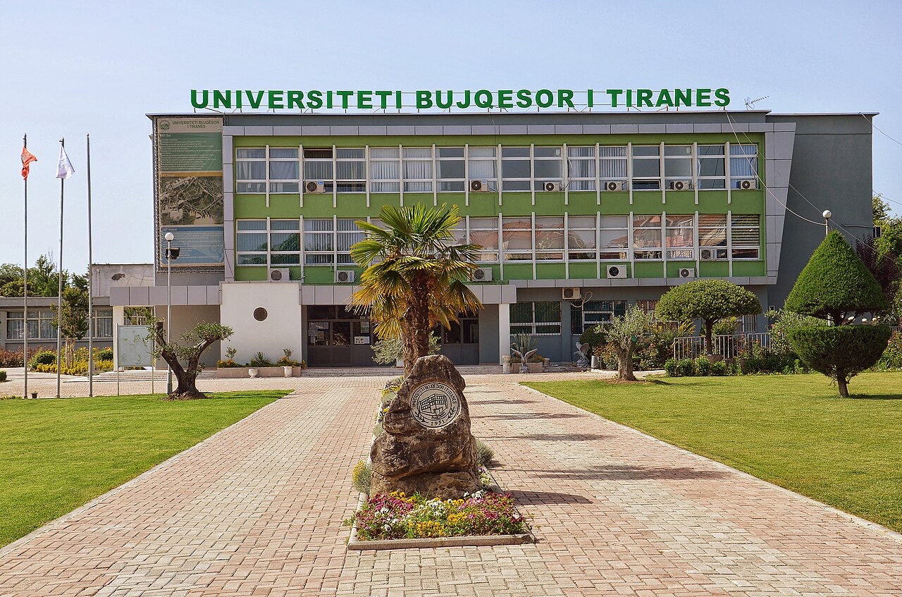
The Agricultural University of Tirana is located within the municipality of Kamëz. No further detail about the university's founding date, faculties, or student population is provided in available sources on Kamëz.
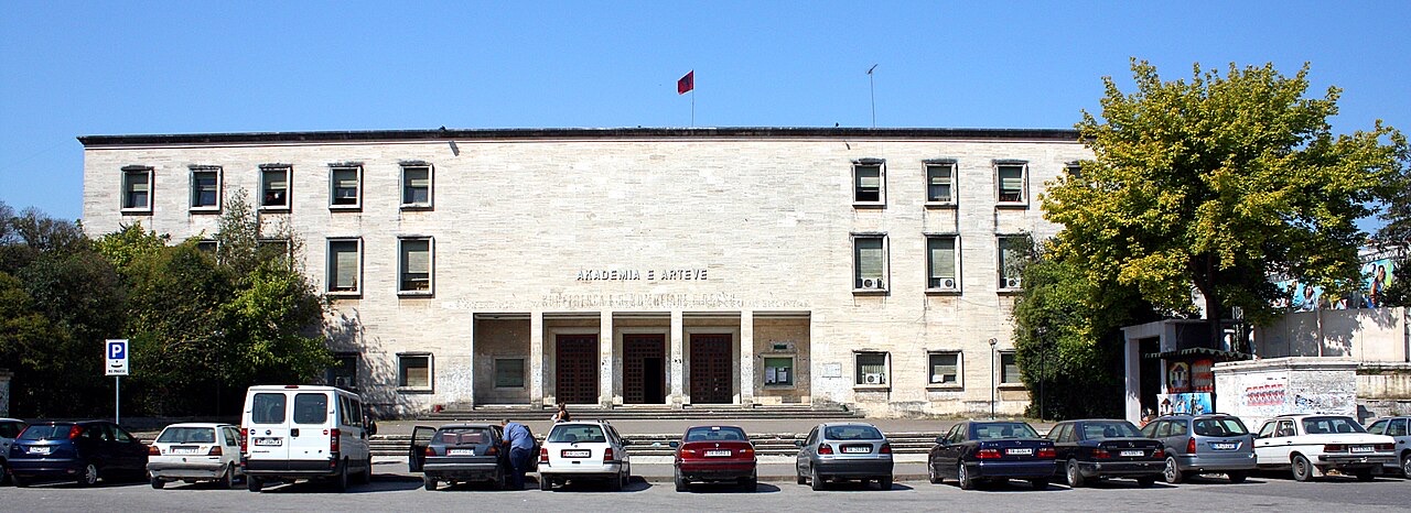
Kamëz was one of the candidate cities for the 2019 European Green Capital Award. That edition of the award was won by Oslo, Norway.
The municipality maintains formal twin-town relationships with Castenaso and Macerata in Italy, Kemalpaşa in Turkey, and Yonkers in the United States. In addition to these twinning agreements, Kamëz cooperates with Jena, Germany, under a cooperation and friendship arrangement rather than a full twinning agreement.
도시 · Tiranë
The capital: a fast-changing city of painted blocks, Ottoman survivals and new towers, under Mount Dajti.
소도시 · Durrës
The industrial town on the plain below Krujë, and the site of Albania's largest cement works.
해설
The 2023 census recorded a resident population far below the 2011 count — the clearest measure of three decades of emigration.
이 페이지에 오류가 있습니까? 수정 제안을 환영하며, 출처 기록과 대조하여 검토합니다. 잘못된 내용과 가능하다면 올바른 수치의 출처를 알려 주십시오.