Stad · Korçë
Korçë
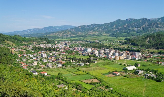
The highland city of serenades, the first Albanian-language school, and the country's oldest brewery.
Elke provincie, elke kust, elke eeuw
Begeleidende weergave
Nieuw in Albanië? Elke pagina begint met een uitleg in eenvoudige taal die u aan een tienjarige zou kunnen voorlezen, voordat de details beginnen.
Expertweergave
U kent de basis al. Meteen naar de kern, met de eenvoudige uitleg verborgen. Dit is de standaardinstelling.
Plaats · Korçë County
The highest town in Albania, seat of Kolonjë municipality below Mount Gramos.
Opslaan
Ersekë is the highest town in Albania, up in the mountains in the south-east.
Ersekë is the highest town in Albania, up in the mountains in the south-east.
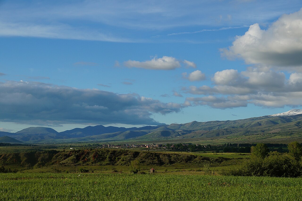
Ersekë sits at the foot of the Gramos mountains in southeastern Albania at an elevation of 1,050 metres above sea level. That altitude places it among the highest towns in Albania, giving it a markedly alpine character unusual for a settlement of its size.
The town serves as the seat of the municipality of Kolonjë, a role it has held administratively since the 2015 local government reform replaced the former district system.
The town's history dates to the 17th century. By 1785 it was populated by 100 families, providing one of the earliest documented measures of its size.
The settlement remained small throughout the Ottoman period, developing the agricultural and craft traditions — apple cultivation, honey production, woodcrafts, stone carving and carpet weaving — that would continue to define its local economy.
In 1914, Ersekë came under the control of Northern Epirote forces. Those forces repelled units of the newly established Albanian gendarmerie from the region, interrupting the early Albanian state's effort to assert authority in the southeastern highlands.
The episode reflects the contested character of the region in the years immediately following Albanian independence, when rival political and military actors competed for control of the south.
On 21 November 1940, during the Greco-Italian War, units of the Greek II Army Corps entered Ersekë after breaching Italian defensive positions. The town thus fell within the zone of the Greek counteroffensive that pushed Italian forces back across southeastern Albania during the winter campaign of 1940–41.
The article records the date and the military unit responsible but does not detail the subsequent fate of the town as the front shifted later in the war.
Ersekë was formerly a municipality in its own right and the seat of the Kolonjë District. The 2015 local government reform reorganised Albanian municipalities, and Ersekë became a subdivision and the administrative seat of the enlarged Kolonjë municipality.
The population recorded at the 2011 census was 3,746. No more recent census figure is given in the source.
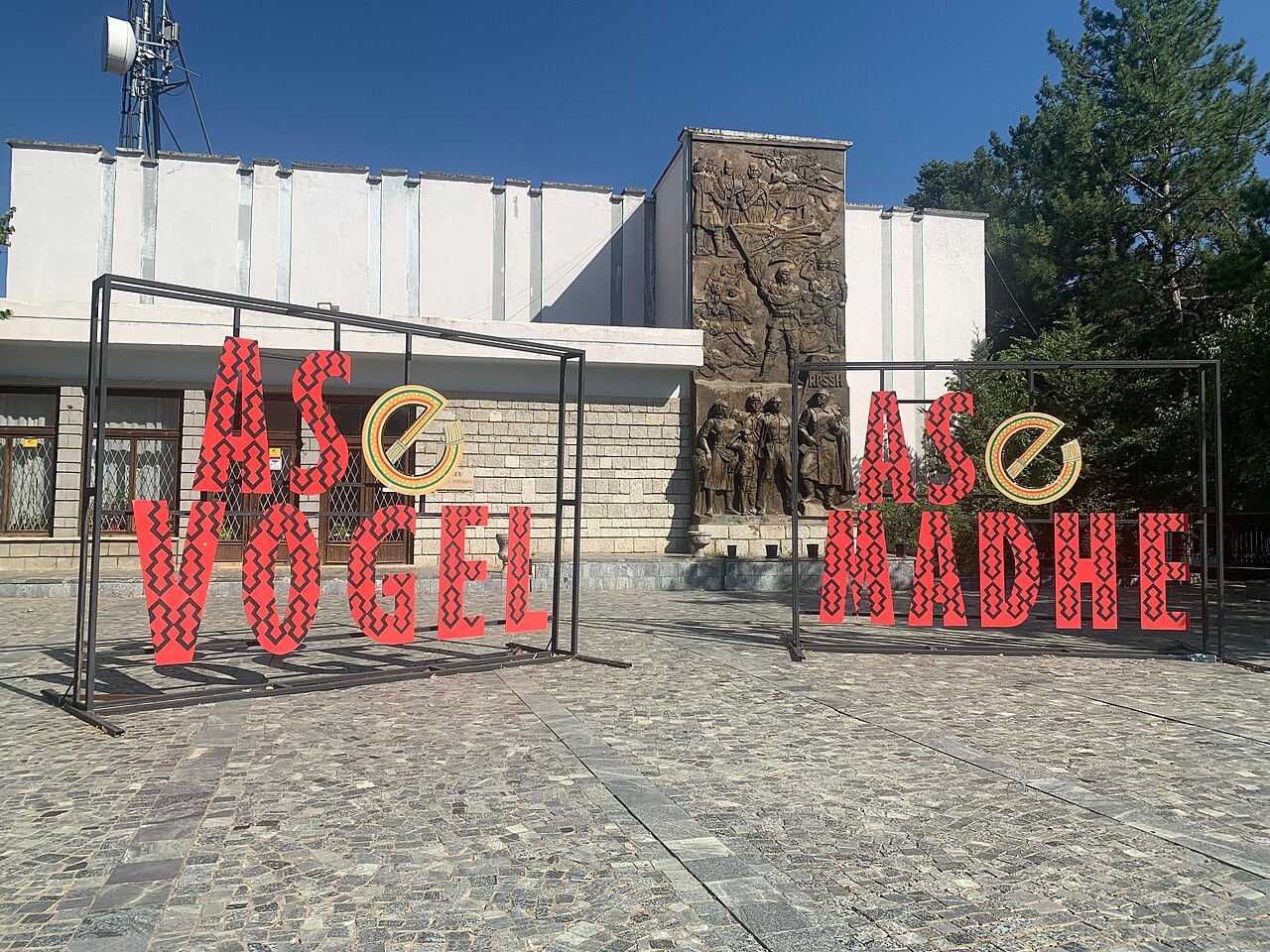
The town's main cultural venue is the Fan Stilian Noli centre, named after the Albanian bishop, politician and writer. Its principal theatre has 400 seats and hosts performances by groups from Korçë and Tirana as well as local artists, alongside other artistic and cultural programmes throughout the year.
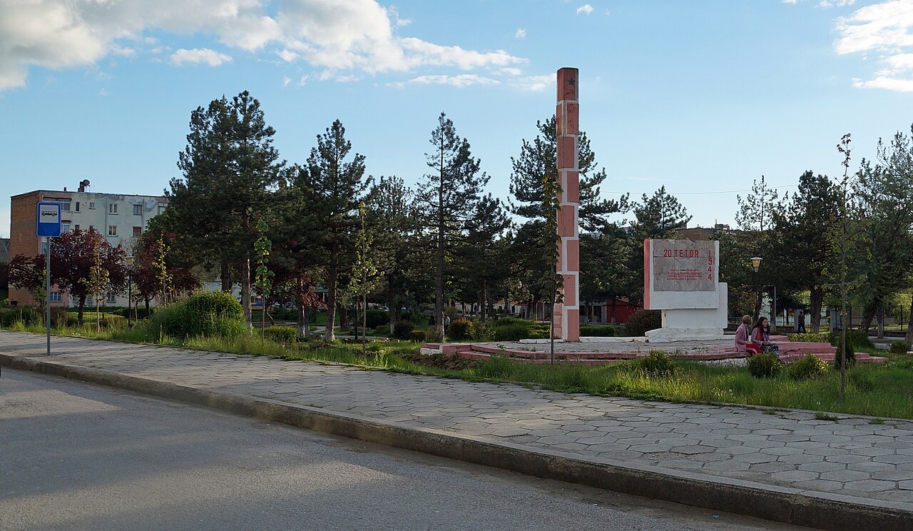
An ethnographic museum within the town holds a collection of traditional costumes, textiles and other crafts described as particular to the region. In the town centre stands an obelisk created by sculptor Odhise Paskali, dated 28 November 1938.
Ersekë has a recognised reputation across Albania for apple and honey production. These agricultural outputs represent the primary economic identity of the town.
The town also maintains traditions of woodcrafts, stone carving and carpet weaving, craft forms that connect to the broader material culture of the highland region and are represented in the ethnographic museum's collection.
The local football club, KS Gramozi Ersekë, was founded in 1927. Its home ground is Ersekë Stadium, which has a capacity of 10,000 with 2,000 seats.
The club reached the Albanian Superliga after the 2008–09 season by defeating Bylis Ballsh 5–2 in the playoff. In 2010, during a tournament called the Taçi Oil Cup held in Tirana, the club played against Real Madrid and lost 2–1.
De warmste maand is August (gemiddeld dagelijks maximum 26°C), de koudste is January (gemiddeld dagelijks minimum -2°C), en de natste is December (121 mm). De gemiddelde jaarlijkse neerslag bedraagt 920 mm.
| Maand | Maximum | Minimum | Neerslag | Natte dagen | Zon/dag |
|---|---|---|---|---|---|
| January | 5°C | -2°C | 104 mm | 11 | 6.3 h |
| February | 6°C | -2°C | 92 mm | 11 | 7.4 h |
| March | 9°C | 0°C | 93 mm | 12 | 8.7 h |
| April | 14°C | 4°C | 84 mm | 14 | 10.2 h |
| May | 19°C | 9°C | 74 mm | 13 | 11.5 h |
| June | 23°C | 13°C | 46 mm | 9 | 13.4 h |
| July | 26°C | 16°C | 30 mm | 6 | 13.6 h |
| August | 26°C | 16°C | 27 mm | 6 | 12.6 h |
| September | 21°C | 12°C | 60 mm | 8 | 10.3 h |
| October | 17°C | 8°C | 79 mm | 8 | 8.6 h |
| November | 11°C | 3°C | 109 mm | 11 | 6.4 h |
| December | 6°C | -1°C | 121 mm | 12 | 5.7 h |
Bron: ERA5 reanalysis via Open-Meteo, 1994–2023 · "Maximum" en "Minimum" zijn het gemiddelde dagelijkse maximum en minimum van de luchttemperatuur. "Natte dagen" telt dagen met ten minste 1 mm neerslag.
Iets onjuist op deze pagina? Correcties zijn welkom en worden gecontroleerd aan de hand van de bronregistratie. Laat ons weten wat onjuist is en, indien mogelijk, waar het juiste cijfer vandaan komt.