
Ville · Berat
Berat
The 'city of a thousand windows': an Ottoman hill town under a still-inhabited castle, UNESCO-listed since 2008.
Chaque comté, chaque côte, chaque siècle
Vue guidée
Nouveau en Albanie ? Chaque page s'ouvre sur une explication en langage clair, accessible à un enfant de dix ans, avant d'entrer dans le détail.
Vue expert
Vous connaissez déjà les bases. Directement à l'essentiel, les explications simples étant masquées. Il s'agit du réglage par défaut.
Bourg · Berat County
The seat of Skrapar municipality and the base for the Osum canyon.
Enregistrer
Çorovodë is a small town in the mountains. Most people go there to raft or walk in the Osum canyon nearby.
Çorovodë is a small town in the mountains. Most people go there to raft or walk in the Osum canyon nearby.
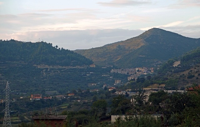
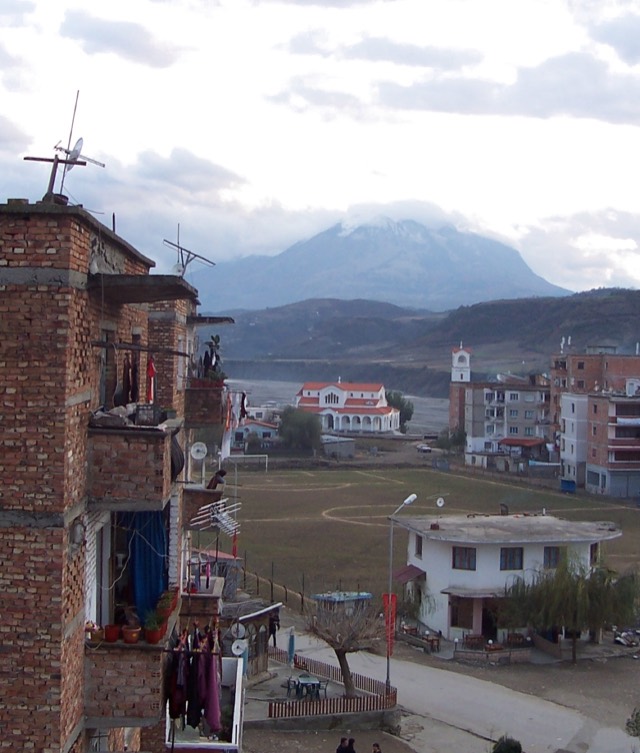
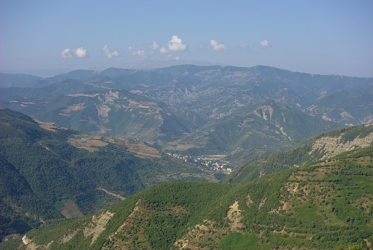
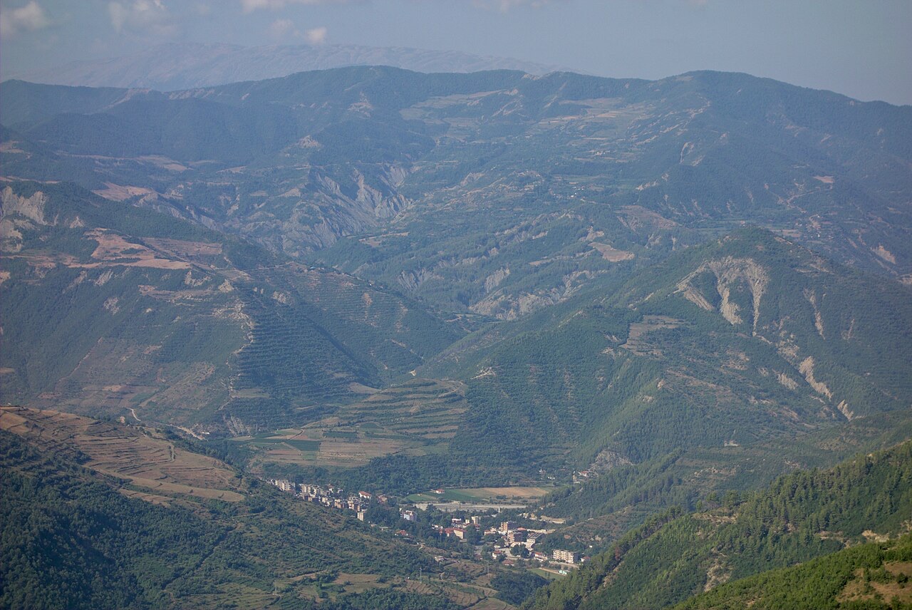
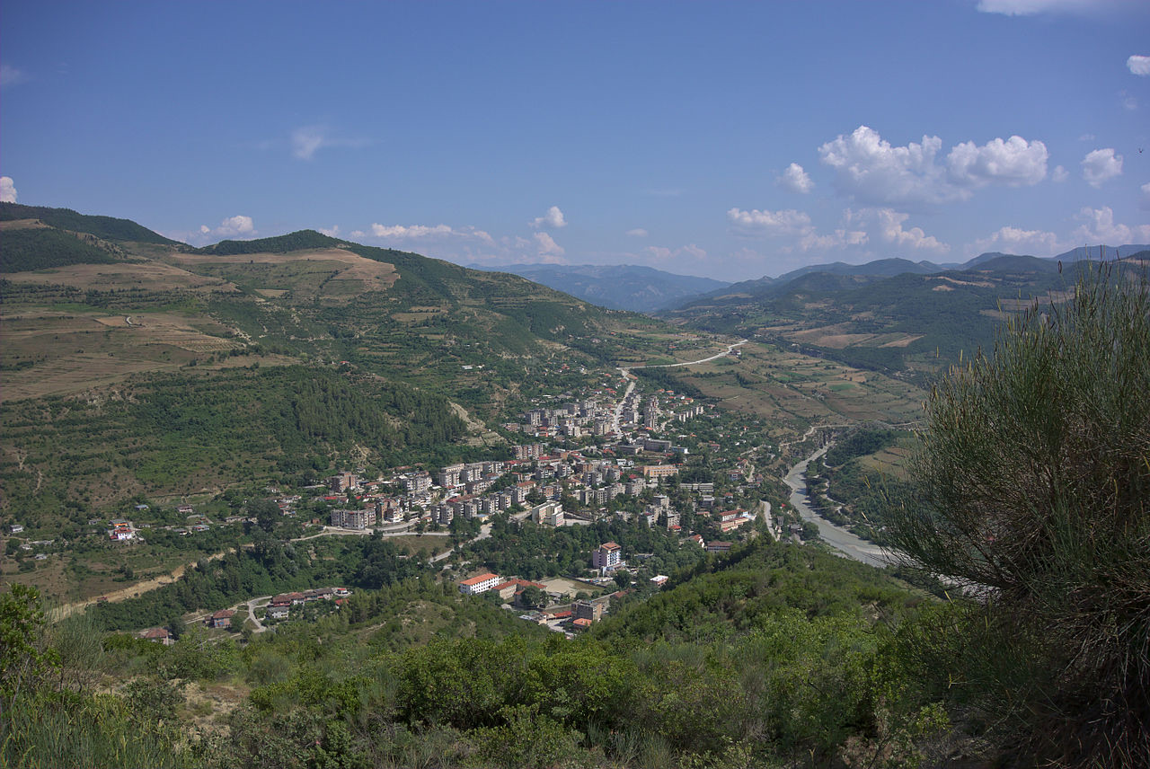
Çorovodë (definite Albanian form: Çorovoda) is a town in Berat County, southeastern Albania. It sits in the valley of the Osum River, which passes directly through the town. A smaller watercourse, the Çorovoda River, also flows through the town and joins the Osum within the urban area.
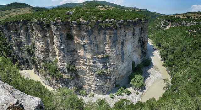
Upstream from the town, the Osum cuts through a series of canyons, producing stretches of fast-moving water and dramatic cliff faces. These conditions have made the river a venue for kayaking, rafting, and other water sports, including annual rafting contests and championships.
Çorovodë serves as the seat of Skrapar Municipality, a role it assumed following Albania's 2015 local government reform, which reorganised the country's administrative units and reclassified the town from a former municipality to a municipal unit. Before that reform, it had been the seat of the former Skrapar District.
The population recorded at the 2023 census was 3,918 residents.
The name Çorovodë is derived from a Bulgarian word meaning 'black water'. This etymology reflects the town's location in a river valley and the historical linguistic influences that have shaped place names across the region.
Among the town's older surviving structures is the Kasabashi stone bridge, which dates from the Ottoman period. It spans the Çorovoda River and remains a notable example of Ottoman bridge construction in the area.
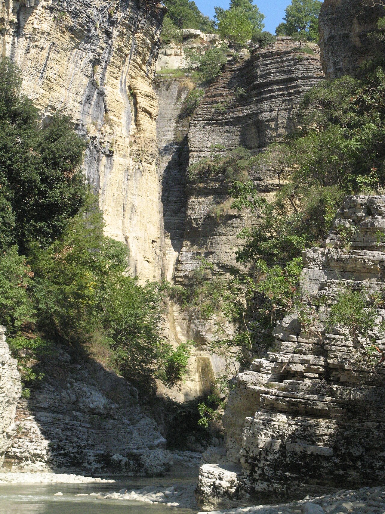
Five kilometres northeast of Çorovodë, the Çorovoda River has carved the Gradec Canyon into the surrounding rock. Within one of the canyon's cliffs lies a cave named Pirogoshi, described as presumably the largest cave in Albania, though this claim should be understood as approximate rather than definitively verified.
According to local tradition, the cave takes its name from two kings, Piro and Goshi. The cave is listed among the area's notable natural sites alongside the Osum Canyon and the Bogova Reserve.
During the period of communist governance in Albania, Çorovodë was designated a closed city. It contained a military airport and other infrastructure described as critical war facilities. Access to and movement within the town was accordingly restricted, a status shared by several strategically significant locations in Albania during that era.
The town is known as a base for rafting on the Osum River, where the canyon sections make the water particularly challenging. The river hosts annual rafting contests. The wider area also offers mountain hiking across the surrounding terrain.
Three designated natural and protected sites are associated with Çorovodë: the Bogova Reserve, the Osum Canyon, and Pirogoshi Cave.
Two prominent figures are recorded as originating from the town. Xhelal bej Koprencka is identified in the source material as a founding father of modern Albania. Ilir Meta, born in 1969, served as President of Albania and is among the most prominent political figures associated with the town.
Le mois le plus chaud est August (maximum quotidien moyen 30°C), le plus froid est January (minimum quotidien moyen 1°C), et le plus pluvieux est December (126 mm). La pluviométrie annuelle totale est en moyenne de 1,023 mm.
| Mois | Max. | Min. | Pluie | Jours de pluie | Ensoleil./jour |
|---|---|---|---|---|---|
| January | 9°C | 1°C | 104 mm | 11 | 6.7 h |
| February | 11°C | 2°C | 94 mm | 10 | 7.7 h |
| March | 14°C | 4°C | 103 mm | 12 | 9.1 h |
| April | 18°C | 7°C | 96 mm | 14 | 10.4 h |
| May | 22°C | 12°C | 82 mm | 12 | 11.7 h |
| June | 27°C | 16°C | 54 mm | 9 | 13.5 h |
| July | 30°C | 19°C | 32 mm | 6 | 13.7 h |
| August | 30°C | 19°C | 31 mm | 6 | 12.7 h |
| September | 25°C | 15°C | 81 mm | 9 | 10.5 h |
| October | 21°C | 10°C | 95 mm | 8 | 9.0 h |
| November | 15°C | 6°C | 124 mm | 12 | 6.9 h |
| December | 10°C | 3°C | 126 mm | 12 | 6.2 h |
Source: ERA5 reanalysis via Open-Meteo, 1994–2023 · « Max. » et « Min. » sont les températures de l'air maximale et minimale quotidiennes moyennes. « Jours de pluie » comptabilise les jours avec au moins 1 mm de précipitations.
Ville · Berat
The 'city of a thousand windows': an Ottoman hill town under a still-inhabited castle, UNESCO-listed since 2008.
Canyon · Berat
A 26 km limestone gorge up to 80 m deep, run by raft in spring and walked in late summer.
Cascade · Berat
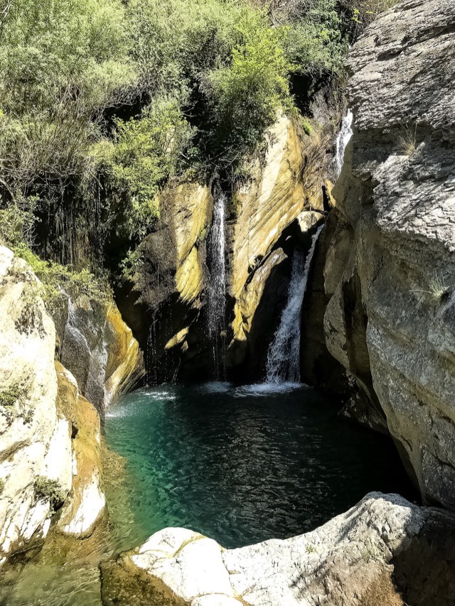
A cold spring-fed fall and pool in the Tomorr foothills near Berat.
Une erreur sur cette page ? Les corrections sont les bienvenues et sont vérifiées par rapport au document source. Indiquer ce qui est erroné et, si possible, d'où provient le chiffre correct.