都市 · Elbasan
Elbasan
A central industrial city inside an Ottoman fortress wall, on the old Via Egnatia.
すべての県、すべての海岸、すべての世紀
ガイドビュー
アルバニアを初めて知る方へ。各ページは、詳細に入る前に、10歳の子どもにも読み聞かせられる平易な説明から始まります。
エキスパートビュー
基本知識はすでにお持ちの方向け。平易な説明を非表示にし、内容を直接表示します。これがデフォルトです。
町 · Elbasan County
A town founded around an oil refinery in the 1950s.
保存
Cërrik grew in the 1950s around a refinery that processed Albanian oil.
Cërrik grew in the 1950s around a refinery that processed Albanian oil.
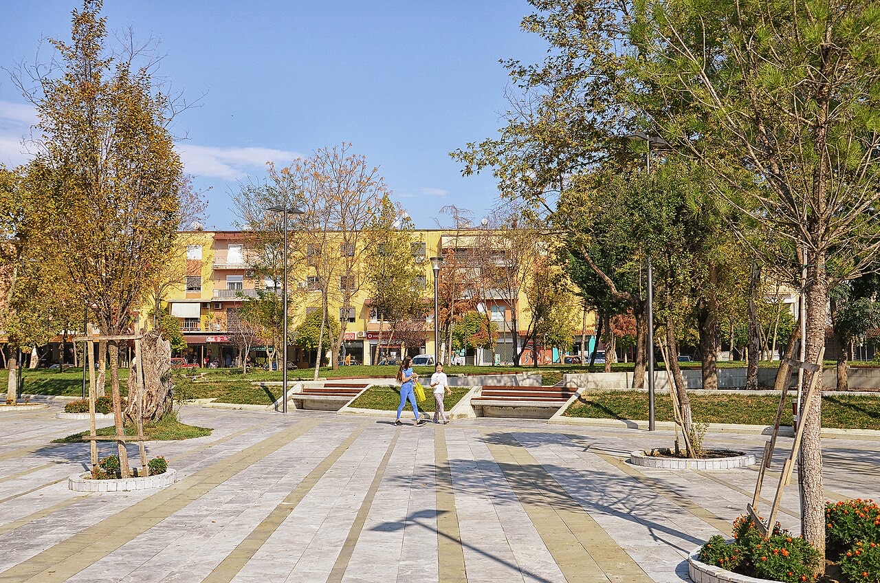
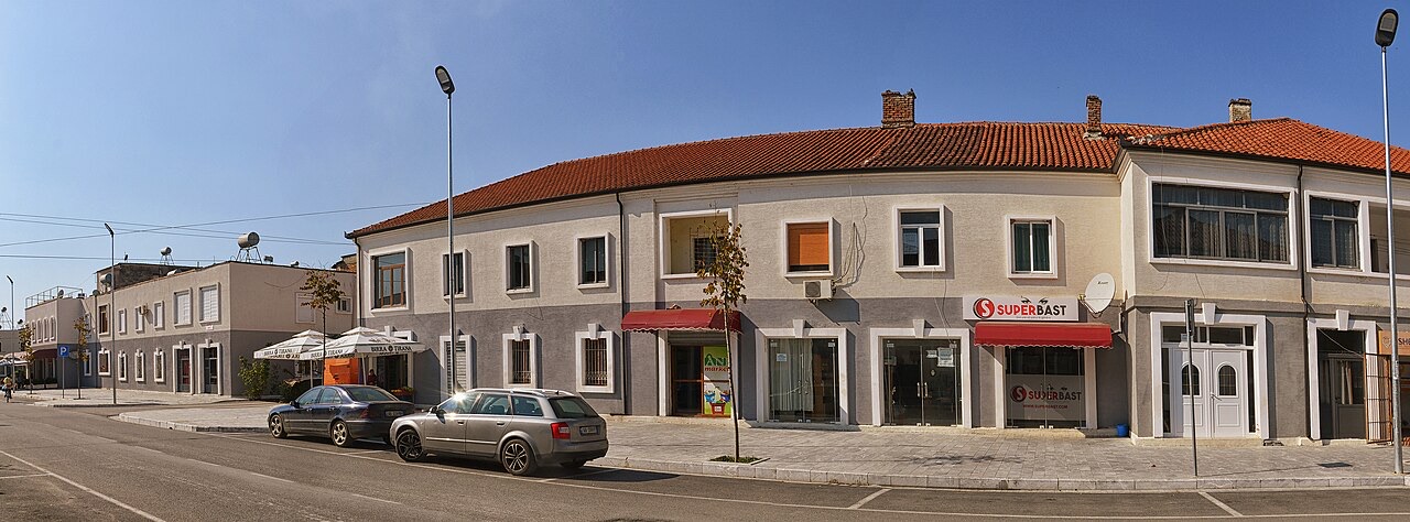
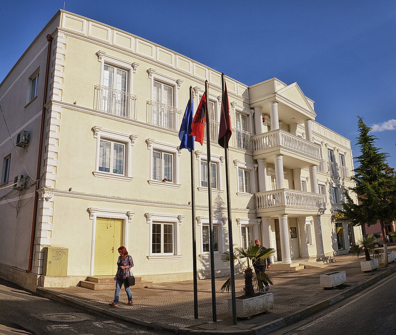
Cërrik (Albanian definite form: Cërriku, pronounced [tsəˈrik] and [tsəˈriku] respectively) is a municipality in Elbasan County, in central Albania. It sits between the Shkumbin River and the Devoll River.
The municipality is composed of four administrative units — Gostimë, Klos, Mollas, and Shalës — with Cërrik itself serving as the municipal seat. According to the 2023 census, the population of the municipal unit of Cërrik stands at 7,001, while the wider Cërrik Municipality records a population of 25,163.
Cërrik grew as a settlement around an oil refinery, construction of which began in 1952. The facility commenced operation on 8 November 1956. Its establishment is attributed to a named group of founders: Simon Ranxha, Leonard Mitrushi, Bahri Hazizi, Hysen Voci, Dhimiter Toska, Jorgji Calja, Filip Gega, Lavdosh Hametaj, Vasip Gura, Shefqet Lole, Alush Rexho, and Ibrahim Gjevori.
At the time of opening, the refinery had a processing capacity of 500 tons of crude oil per day. The crude oil processed at the plant had a notable sulfur content, and the refinery was equipped to transport oil across a distance of 30 kilometres.
Within a year of opening, the refinery's capacity was raised to 800 tons per day in 1957. In 1961, the plant underwent a renovation that brought its daily processing capacity to 1,500 tons of crude oil.
These successive increases reflected investment in the facility during the early decades of Albanian industrialisation under the communist state, with Cërrik's development as a town directly tied to the refinery's expansion.
Beyond basic crude oil processing, the refinery branched into specialised petroleum products. It produced lubricating oils for engines and mechanical parts, including grades known as avtol 18 and DP 14, intended for vehicles, and a type TS1 kerosene formulated for aviation use.
In 1965, production diversified further with the introduction of naphthalene soap and naphthalic acid. These chemical products extended the refinery's output beyond fuels and lubricants into industrial chemical manufacturing.
The oil refinery is no longer operational. The article does not specify when it closed or the circumstances of its closure.
Agriculture now forms part of the local economy. The area also hosts a public radio station, Radio Stacioni Kombetar Shtermen, which continues to operate in the municipality.
Football is the principal sport in Cërrik. The town's club, KS Turbina Cërrik, was founded in 1956, the same year the refinery began operation — a connection reflected in the club's name. The club competes in the Albanian First Division, placed in Group B.
Home matches are played at the Nexhip Trungu Stadium, which has a capacity of 6,600 spectators.
Three notable individuals are associated with Cërrik in the source article: Alban Hoxha, Armando Sadiku, and Rajmonda Bulku. No further biographical detail about these individuals is provided in the article text.
Cërrik Municipality maintains an official website at bashkiacerrik.gov.al, published in Albanian. As a municipality within Elbasan County, it falls under the administrative geography established by Albania's 2015 territorial reform, though the article does not explicitly discuss the reform's application to Cërrik.
The four constituent administrative units — Gostimë, Klos, Mollas, and Shalës — together with the town seat account for the total municipal population of 25,163 recorded in the 2023 census.
都市 · Elbasan
A central industrial city inside an Ottoman fortress wall, on the old Via Egnatia.
町 · Elbasan
A hill town surrounded by more than eighty small lakes and extensive olive groves.
産業
Heavy onshore crude from Patos-Marinza, produced since the 1920s and refined at Ballsh.
このページに誤りがありますか? 修正は歓迎しており、原典記録と照合して確認します。何が誤っているか、また可能であれば正しい数値の出典をお知らせください。