City · Durrës
Durrës
Albania's principal port and its oldest continuously inhabited city, founded as Epidamnos in 627 BC.
Every county, coast and century
Guided view
New to Albania? Every page opens with a plain-language explanation you could read to a ten-year-old, before the detail begins.
Expert view
You already know the basics. Straight to the substance, with the simple explanations hidden. This is the default.
Subject · Durrës County
A low cape north of Durrës holding Skanderbeg's sea castle and the church of St Anthony.
Save
The Cape of Rodon is a piece of land that sticks out into the sea north of Durrës. Skanderbeg built a castle there in the 1450s, and part of it has fallen into the sea.
The Cape of Rodon is a piece of land that sticks out into the sea north of Durrës. Skanderbeg built a castle there in the 1450s, and part of it has fallen into the sea.
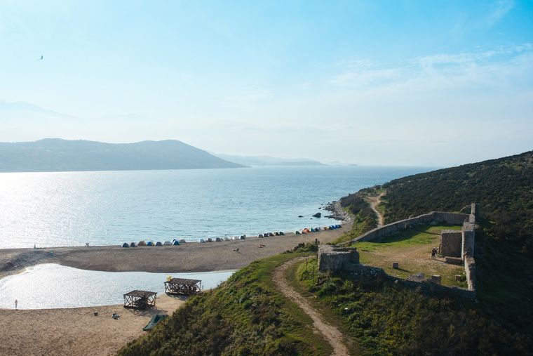
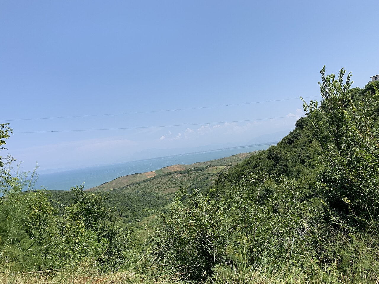
Cape of Rodon, known in Albanian as Kepi i Rodonit or Kepi i Skënderbeut, is a rocky cape on the Adriatic Sea situated north of Durrës, Albania. The cape projects into the Adriatic and forms the northern boundary of a bay that extends southward toward the Rrushkull Reserve.
The coastline south of the cape, in the bay between the headland and the Rrushkull Reserve, has developed into a resort area. Beach resorts including 'Lura' and 'San Pietro Resort' operate there and attract visitors during the summer months.
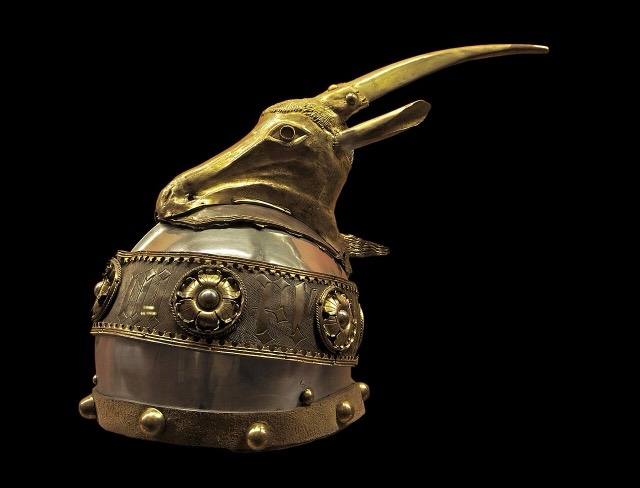
The name of the cape derives from Redon, a deity attested in ancient inscriptions and on coins. The name Redon appears in inscriptions found at Santa Maria di Leuca, in present-day Lecce, and on coins minted by the Illyrian city of Lissos. Historians have interpreted these sources as evidence that Redon was worshipped as the guardian deity of Lissos and probably also as a sea god.
On coins, Redon is consistently depicted wearing a petasos, the broad-brimmed hat associated with travel. Historians have taken this iconographic detail as evidence that Redon functioned as the protector of travellers and sailors specifically. The inscriptions at Santa Maria di Leuca reinforce this interpretation: they were carved by the crews of two Roman merchant ships manned by Illyrians, suggesting that sailors invoked Redon before or after sea crossings.
Mentions of Redon are not confined to Lissos. His name appears on coins from the Illyrian cities of Daorson and Scodra, and in archaeological finds from Dyrrhachium dating to after the establishment of a Roman colony there. The spread of references across multiple Illyrian cities and into a Roman colonial context indicates that his cult had regional significance rather than being limited to a single settlement.
The Albanian toponym Kepi i Rodonit preserves the ancient name Redon directly. Scholars have suggested that the name could be analysed as reflecting an Illyrian sanctuary dedicated to the god of sailors, with the place-name surviving continuously from antiquity into the modern Albanian form. The alternative Albanian name, Kepi i Skënderbeut, references the fifteenth-century Albanian lord Skanderbeg, who built a castle on the cape.
On the cape stands Rodoni Castle, built by Skanderbeg in 1463. The castle is the principal medieval structure on the headland and is the reason for the cape's alternative Albanian name, Kepi i Skënderbeut, meaning 'Cape of Skanderbeg'.
Also present on the cape is the Saint Anthony Church, which stands alongside the castle remains.
The Saint Anthony Church is located on the cape in proximity to Rodoni Castle. The article text does not supply details about the church's date of construction, denomination, or current condition beyond recording its existence as one of the two principal structures on the headland.
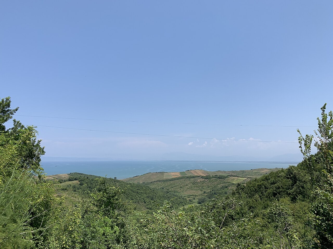
Between the cape and the Rrushkull Reserve to the south lies a bay along which several beach resorts have developed. Named resorts recorded in this area include 'Lura' and 'San Pietro Resort'. The article notes that these resorts gather a considerable number of tourists during the summer months, though no visitor figures are given.
The city of Lissos minted coins bearing the image of Redon, and these coins constitute one of the principal sources for knowledge of the deity. The consistent use of the petasos in his depiction on coinage across multiple cities — Lissos, Daorson, and Scodra — suggests a standardised iconographic tradition associated with the cult. Coins from Dyrrhachium also reference Redon following the Roman colonisation of that city, showing the cult persisted under Roman rule.
The inscriptions found at Santa Maria di Leuca, located in the area of present-day Lecce in Italy, are significant because they were made by Illyrian sailors aboard Roman merchant vessels. This context — sailors giving thanks or making dedications — directly supports the identification of Redon as a marine or seafaring deity. The inscriptions are among the clearest documentary evidence linking Redon to navigation and the protection of those at sea.
Beyond Lissos, the cult of Redon is attested at the Illyrian cities of Daorson and Scodra through coin evidence. Archaeological findings from Dyrrhachium also mention Redon after the Roman establishment of a colony there. The presence of his name across this geographic range indicates that veneration of Redon was not a purely local phenomenon but extended across a broader Illyrian cultural sphere, persisting even as Roman political authority was imposed on the region.
The warmest month is August (mean daily high 27°C), the coldest is January (mean daily low 7°C), and the wettest is November (186 mm). Total annual rainfall averages 1,305 mm. Sea temperature peaks in August at about 25°C.
| Month | High | Low | Rain | Wet days | Sun/day | Sea |
|---|---|---|---|---|---|---|
| January | 11°C | 7°C | 146 mm | 12 | 7.2 h | 15°C |
| February | 12°C | 8°C | 122 mm | 11 | 8.2 h | 13°C |
| March | 14°C | 9°C | 120 mm | 11 | 9.7 h | 15°C |
| April | 16°C | 12°C | 104 mm | 11 | 10.8 h | 16°C |
| May | 20°C | 16°C | 73 mm | 9 | 12.2 h | 19°C |
| June | 24°C | 20°C | 47 mm | 5 | 13.6 h | 23°C |
| July | 27°C | 22°C | 30 mm | 4 | 13.8 h | 26°C |
| August | 27°C | 23°C | 37 mm | 4 | 12.9 h | 25°C |
| September | 24°C | 20°C | 128 mm | 8 | 10.8 h | 24°C |
| October | 20°C | 16°C | 142 mm | 10 | 9.2 h | 23°C |
| November | 17°C | 13°C | 186 mm | 12 | 7.4 h | 19°C |
| December | 13°C | 9°C | 169 mm | 13 | 6.7 h | 16°C |
Source: ERA5 reanalysis via Open-Meteo, 1994–2023 · “High” and “Low” are mean daily maximum and minimum air temperature. “Wet days” counts days with at least 1 mm of precipitation.
City · Durrës
Albania's principal port and its oldest continuously inhabited city, founded as Epidamnos in 627 BC.
Beach · Durrës
A sheltered arc on the Rodon cape, below Skanderbeg's coastal castle.
Beach · Durrës
A pine-backed sand bay north of Durrës that has become Albania's main resort-property zone.
Person
Gjergj Kastrioti: an Ottoman commander who changed sides and held Albania against the empire for twenty-five years.
Something wrong on this page? Corrections are welcome and are checked against the source record. Tell us what is wrong and, if you can, where the right figure comes from.