都市 · Vlorë
Vlorë
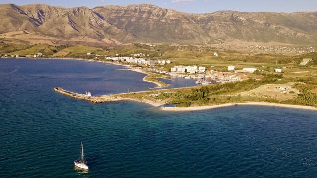
Where the Adriatic meets the Ionian, and where Albanian independence was declared in 1912.
すべての県、すべての海岸、すべての世紀
ガイドビュー
アルバニアを初めて知る方へ。各ページは、詳細に入る前に、10歳の子どもにも読み聞かせられる平易な説明から始まります。
エキスパートビュー
基本知識はすでにお持ちの方向け。平易な説明を非表示にし、内容を直接表示します。これがデフォルトです。
件名 · Vlorë County
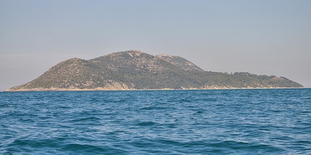
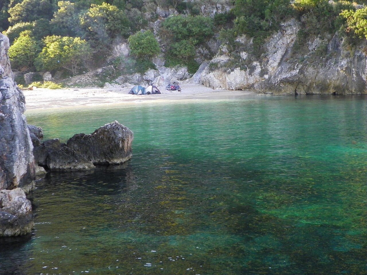
Albania's largest uninhabited peninsula, closed to the public for most of the 20th century and now a marine park.
保存
Karaburun is a long, empty piece of land sticking out into the sea near Vlorë. Nobody lives there. For most of the 1900s it was a military area and people could not visit. Now it is protected, and boats take visitors to its caves and bays.
Karaburun is a long, empty piece of land sticking out into the sea near Vlorë. Nobody lives there. For most of the 1900s it was a military area and people could not visit. Now it is protected, and boats take visitors to its caves and bays.
都市 · Vlorë
Where the Adriatic meets the Ionian, and where Albanian independence was declared in 1912.
保護区域 · Vlorë
Albania's only marine national park: sea caves, wrecks and the country's clearest water.
件名 · Vlorë
Albania's largest island: a former Italian and then Soviet-era military base at the mouth of the Bay of Vlorë.
ビーチ · Vlorë
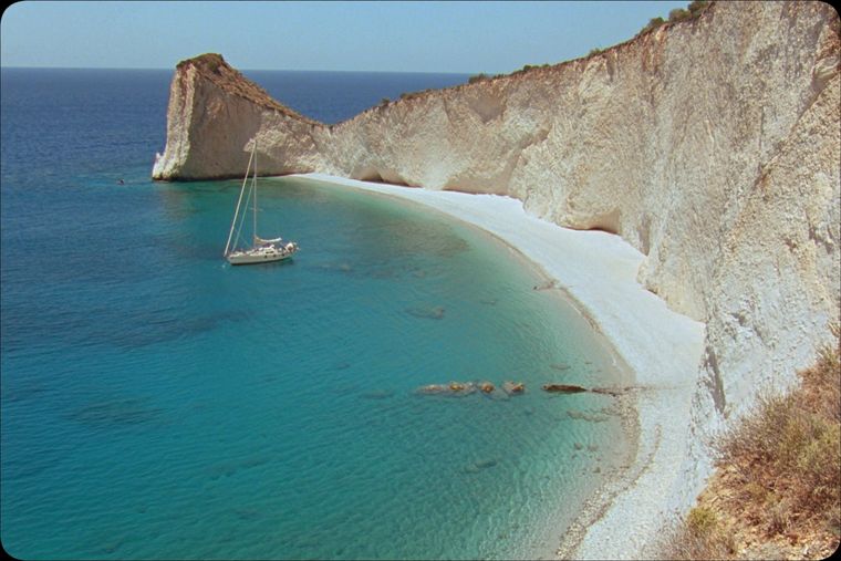
A remote bay on the Karaburun peninsula whose cliffs carry Greek and Latin inscriptions cut by ancient sailors.
ビーチ · Vlorë
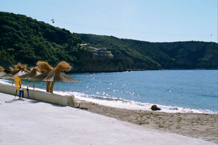
The sheltered eastern shore of the Bay of Vlorë, facing the Karaburun peninsula.
このページに誤りがありますか? 修正は歓迎しており、原典記録と照合して確認します。何が誤っているか、また可能であれば正しい数値の出典をお知らせください。