Kota besar · Vlorë
Vlorë
Where the Adriatic meets the Ionian, and where Albanian independence was declared in 1912.
Setiap kabupaten, pantai, dan abad
Tampilan terpandu
Baru mengenal Albania? Setiap halaman dibuka dengan penjelasan dalam bahasa sederhana yang dapat dibaca oleh anak usia sepuluh tahun, sebelum detail lebih lanjut dimulai.
Tampilan ahli
Anda sudah mengetahui dasar-dasarnya. Langsung ke inti pembahasan, dengan penjelasan sederhana yang disembunyikan. Ini adalah tampilan default.
Subjek · Vlorë County
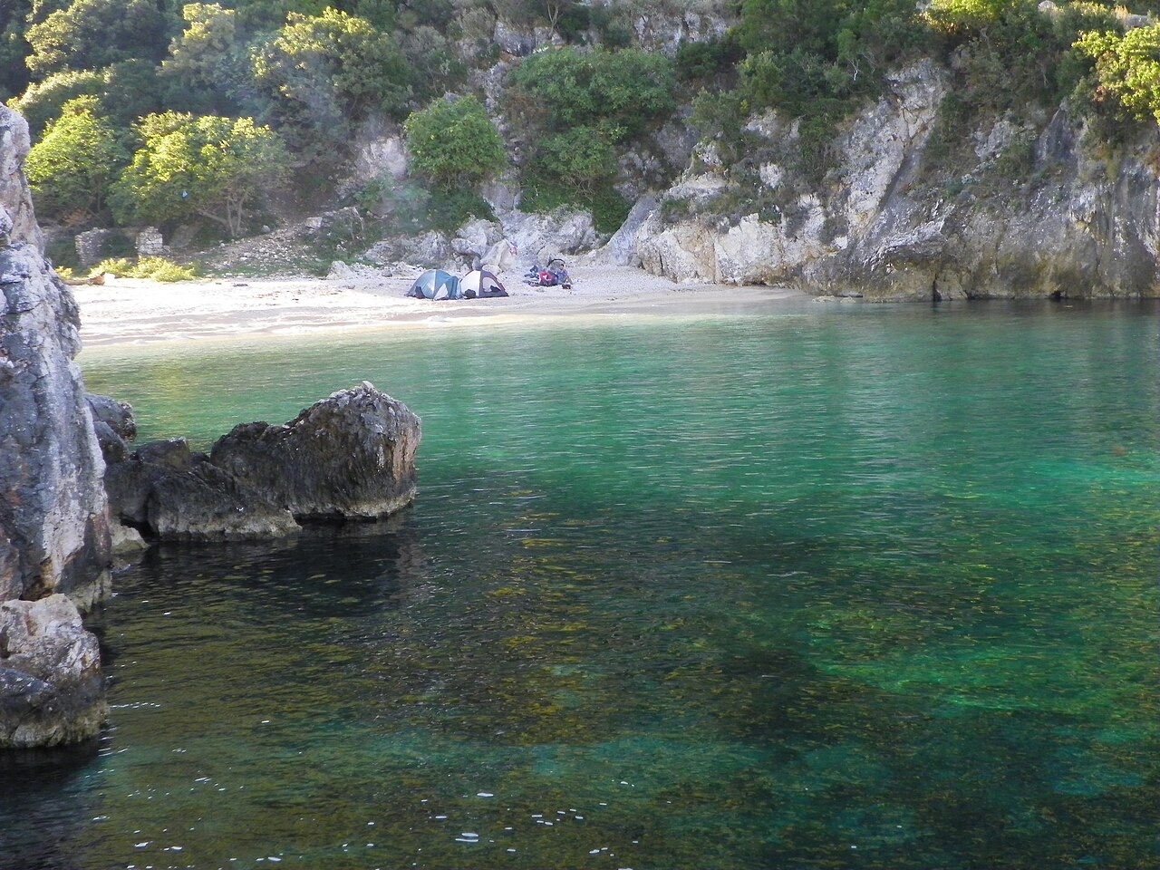
Albania's largest uninhabited peninsula, closed to the public for most of the 20th century and now a marine park.
Simpan
Karaburun is a long, empty piece of land sticking out into the sea near Vlorë. Nobody lives there. For most of the 1900s it was a military area and people could not visit. Now it is protected, and boats take visitors to its caves and bays.
Karaburun is a long, empty piece of land sticking out into the sea near Vlorë. Nobody lives there. For most of the 1900s it was a military area and people could not visit. Now it is protected, and boats take visitors to its caves and bays.
Kota besar · Vlorë
Where the Adriatic meets the Ionian, and where Albanian independence was declared in 1912.
Kawasan lindung · Vlorë
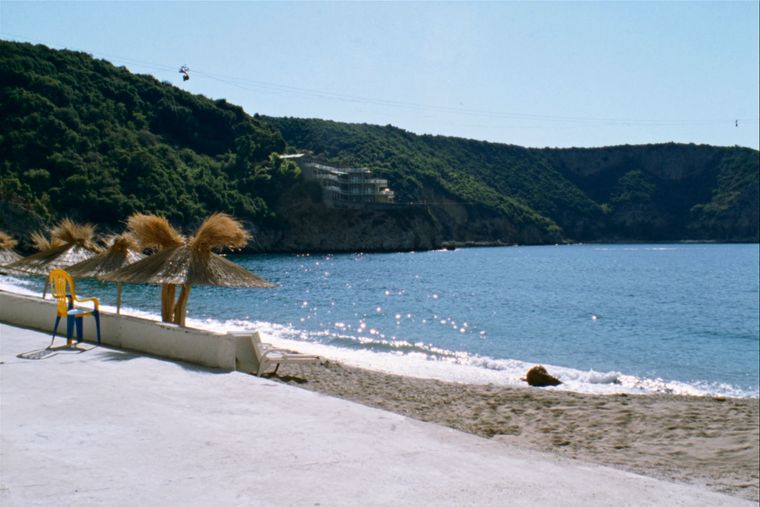
Albania's only marine national park: sea caves, wrecks and the country's clearest water.
Subjek · Vlorë
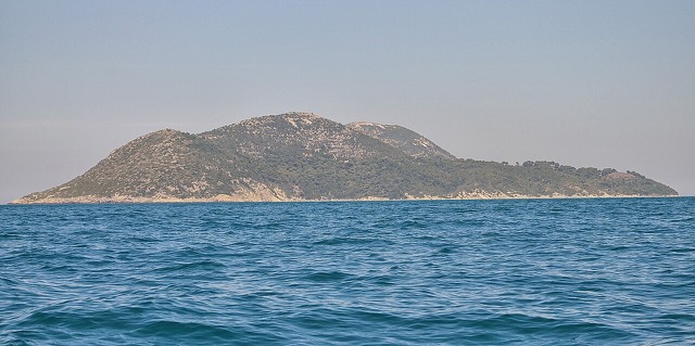
Albania's largest island: a former Italian and then Soviet-era military base at the mouth of the Bay of Vlorë.
Pantai · Vlorë
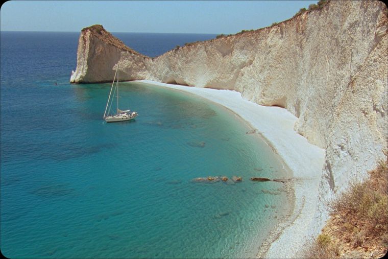
A remote bay on the Karaburun peninsula whose cliffs carry Greek and Latin inscriptions cut by ancient sailors.
Pantai · Vlorë
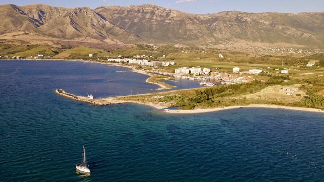
The sheltered eastern shore of the Bay of Vlorë, facing the Karaburun peninsula.
Ada yang salah di halaman ini? Koreksi sangat disambut dan akan diperiksa terhadap catatan sumber. Beri tahu kami apa yang salah dan, jika memungkinkan, dari mana angka yang benar berasal.