Ville · Vlorë
Vlorë
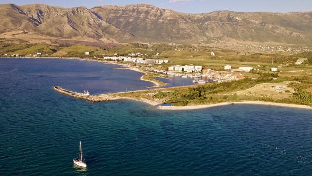
Where the Adriatic meets the Ionian, and where Albanian independence was declared in 1912.
Chaque comté, chaque côte, chaque siècle
Vue guidée
Nouveau en Albanie ? Chaque page s'ouvre sur une explication en langage clair, accessible à un enfant de dix ans, avant d'entrer dans le détail.
Vue expert
Vous connaissez déjà les bases. Directement à l'essentiel, les explications simples étant masquées. Il s'agit du réglage par défaut.
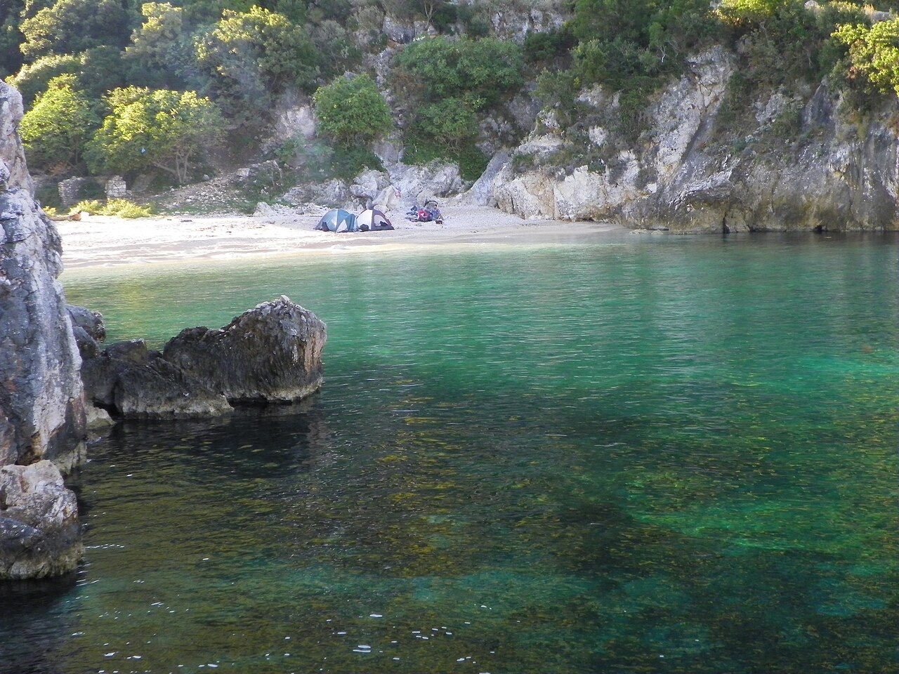
Objet · Vlorë County
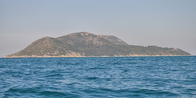
Albania's largest uninhabited peninsula, closed to the public for most of the 20th century and now a marine park.
Enregistrer
Karaburun is a long, empty piece of land sticking out into the sea near Vlorë. Nobody lives there. For most of the 1900s it was a military area and people could not visit. Now it is protected, and boats take visitors to its caves and bays.
Karaburun is a long, empty piece of land sticking out into the sea near Vlorë. Nobody lives there. For most of the 1900s it was a military area and people could not visit. Now it is protected, and boats take visitors to its caves and bays.
Ville · Vlorë
Where the Adriatic meets the Ionian, and where Albanian independence was declared in 1912.
Espace protégé · Vlorë
Albania's only marine national park: sea caves, wrecks and the country's clearest water.
Objet · Vlorë
Albania's largest island: a former Italian and then Soviet-era military base at the mouth of the Bay of Vlorë.
Plage · Vlorë
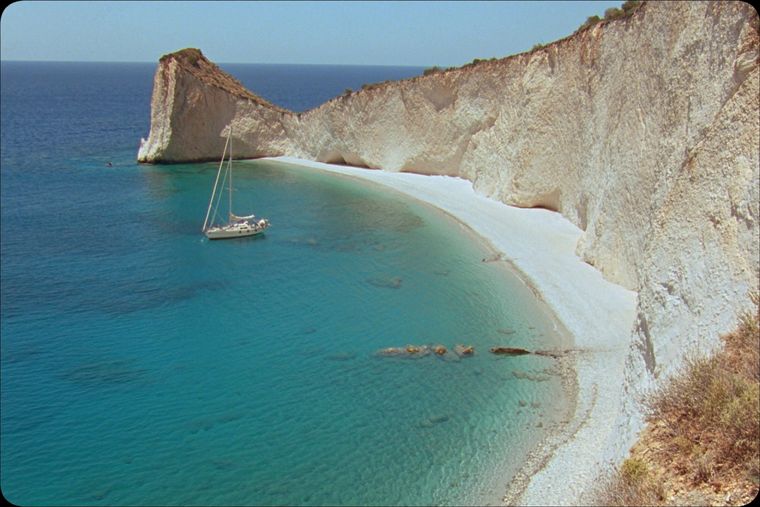
A remote bay on the Karaburun peninsula whose cliffs carry Greek and Latin inscriptions cut by ancient sailors.
Plage · Vlorë
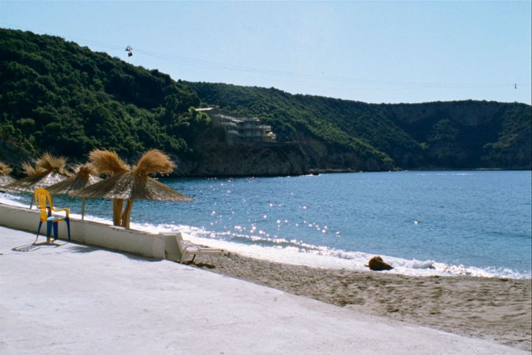
The sheltered eastern shore of the Bay of Vlorë, facing the Karaburun peninsula.
Une erreur sur cette page ? Les corrections sont les bienvenues et sont vérifiées par rapport au document source. Indiquer ce qui est erroné et, si possible, d'où provient le chiffre correct.