Şehir · Vlorë
Sarandë
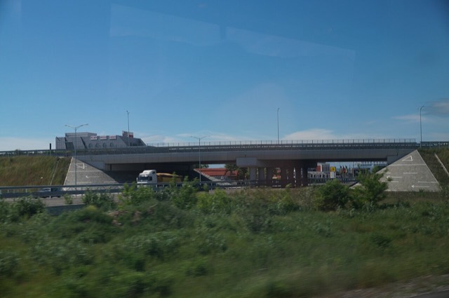
The Ionian resort town facing Corfu, and the arrival point for most visitors to southern Albania.
Her il, her kıyı, her yüzyıl
Rehberli görünüm
Arnavutluk'a yeni misiniz? Her sayfa, ayrıntılara geçmeden önce on yaşında bir çocuğa okuyabileceğiniz sade bir açıklamayla başlar.
Uzman görünümü
Temel bilgileri zaten biliyorsunuz. Sade açıklamalar gizli, doğrudan özüne geçin. Bu varsayılan ayardır.
Yol · Vlorë County
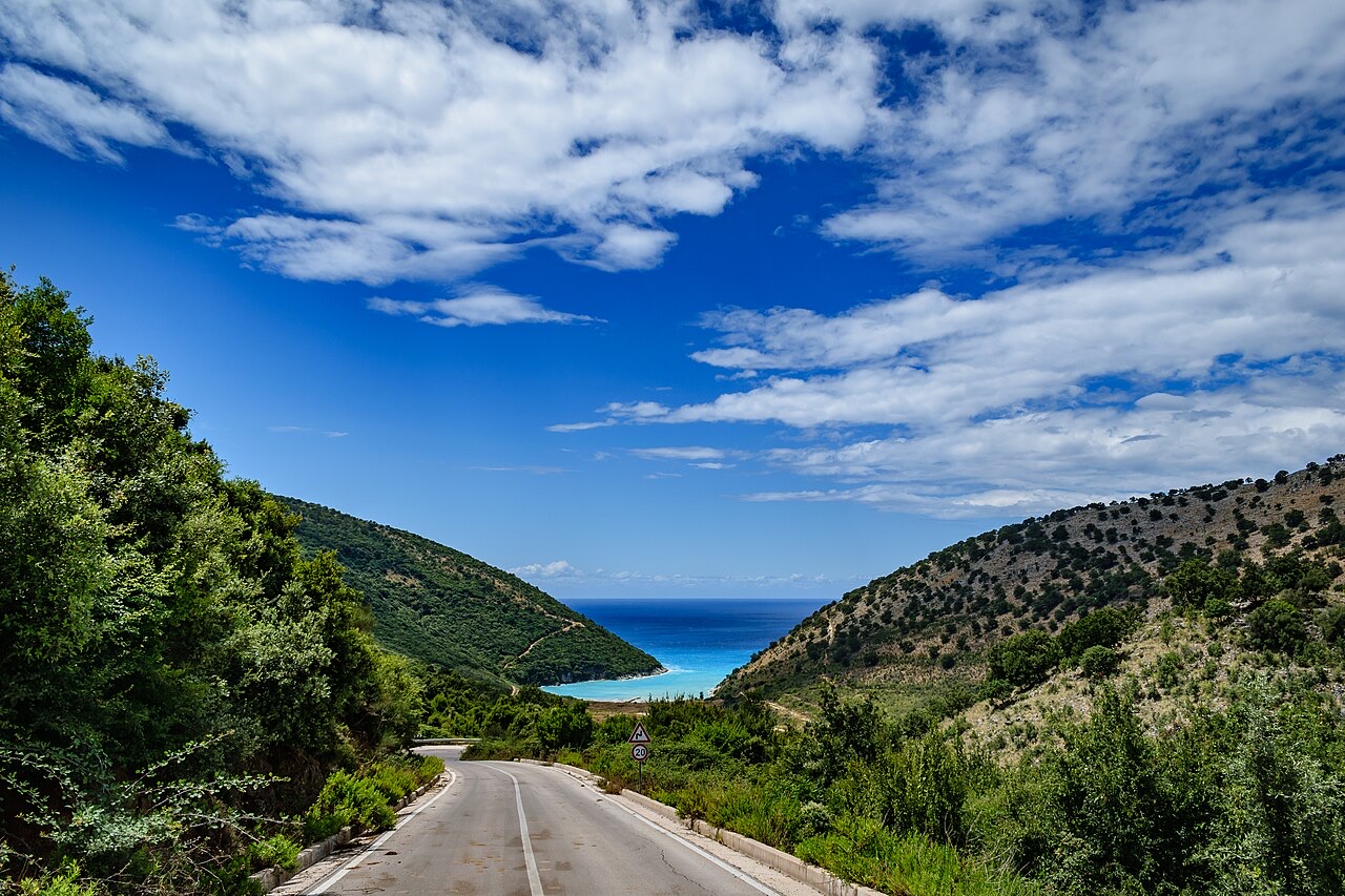
The single road along the Albanian Riviera, over the Llogara pass and down the Ionian coast.
Kaydet
The SH8 is the road that runs along the southern coast. It climbs over the Llogara pass and then winds above the sea all the way to Sarandë. There is no other through road on that coast.
The SH8 is the road that runs along the southern coast. It climbs over the Llogara pass and then winds above the sea all the way to Sarandë. There is no other through road on that coast.
Şehir · Vlorë
The Ionian resort town facing Corfu, and the arrival point for most visitors to southern Albania.
Şehir · Vlorë
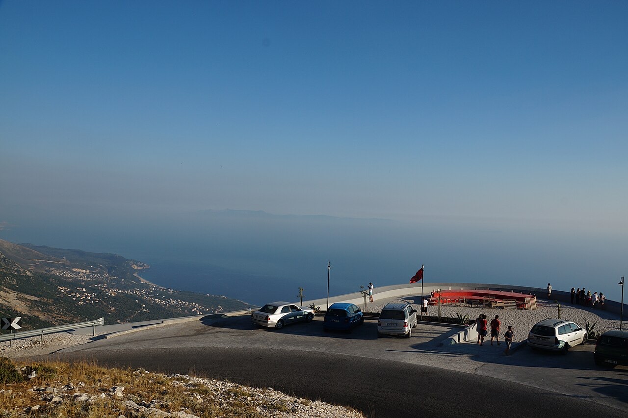
Where the Adriatic meets the Ionian, and where Albanian independence was declared in 1912.
İlçe · Vlorë
The centre of the Riviera coast: a Greek-speaking historical community, an old hill village and a string of coves.
Koruma altındaki alan · Vlorë
A pine-forested pass at 1,027 m where the road drops from mountain forest to the Ionian in a few kilometres.
Köy · Vlorë
An old white village on the slope above one of the Riviera's longest pebble beaches.
Konu · Vlorë
The 120 km of Ionian coast between the Llogara pass and Sarandë, where the Ceraunian mountains fall straight into the sea.
Rehber
The roads are better than the reputation and the driving is worse. What that means in practice.
Rehber
Shkodër to Sarandë is about 400 km. Done properly it takes two days; here is how the country splits up.
Bu sayfada bir hata mı var? Düzeltmeler memnuniyetle karşılanır ve kaynak kayıtla karşılaştırılarak kontrol edilir. Neyin yanlış olduğunu ve mümkünse doğru rakamın kaynağını bize bildirin.