Город
Sarandë
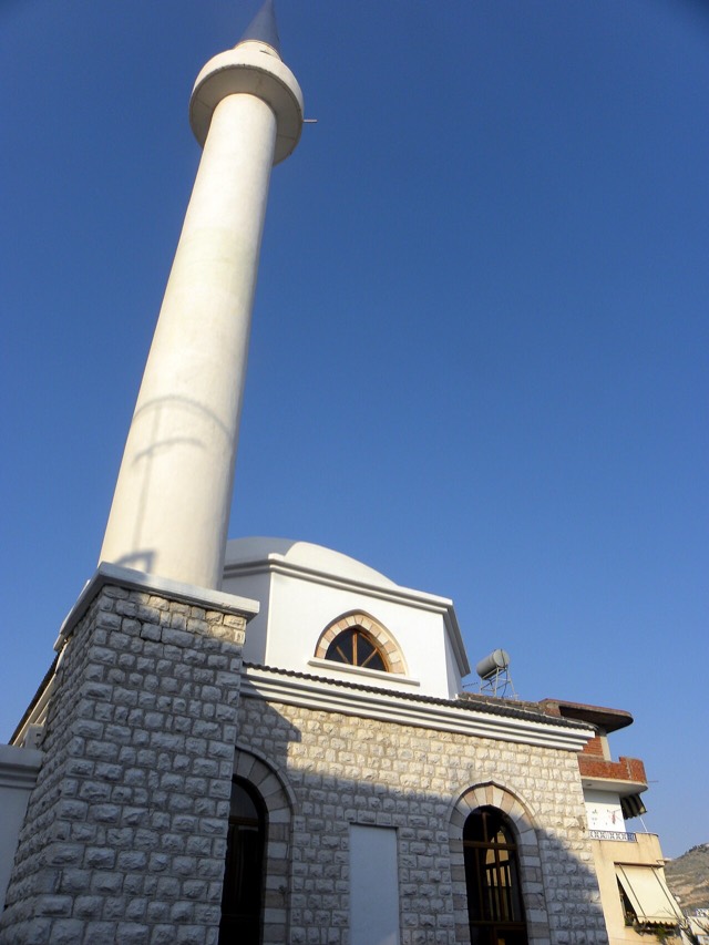
The Ionian resort town facing Corfu, and the arrival point for most visitors to southern Albania.
🧭 Режим с пояснениями
Впервые об Албании? Каждая страница начинается с доступного объяснения, понятного даже десятилетнему ребёнку, и лишь затем переходит к подробностям.
⚡ Режим эксперта
Основы вам уже известны. Сразу к существу вопроса, без простых пояснений. Это режим по умолчанию.
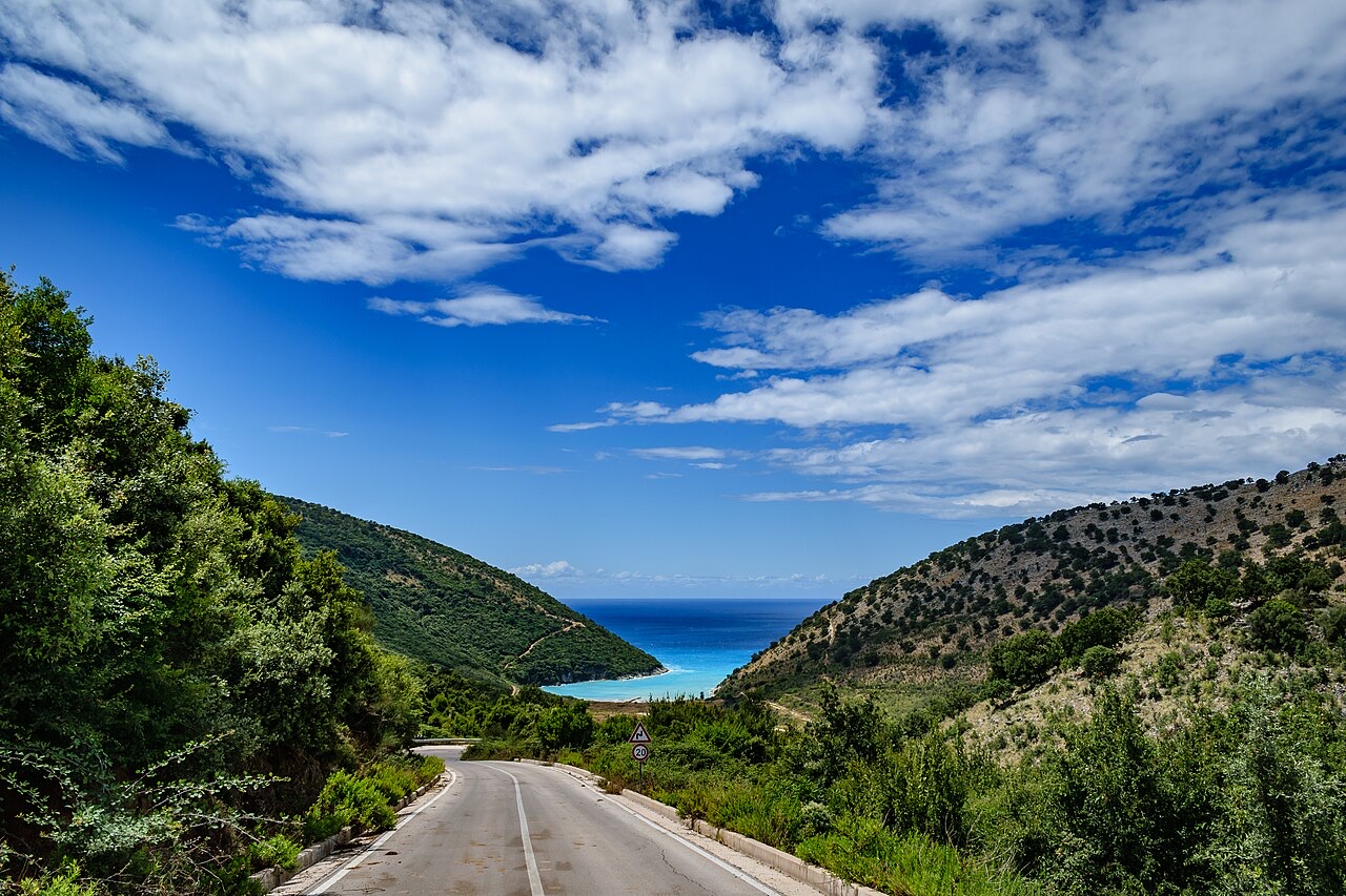
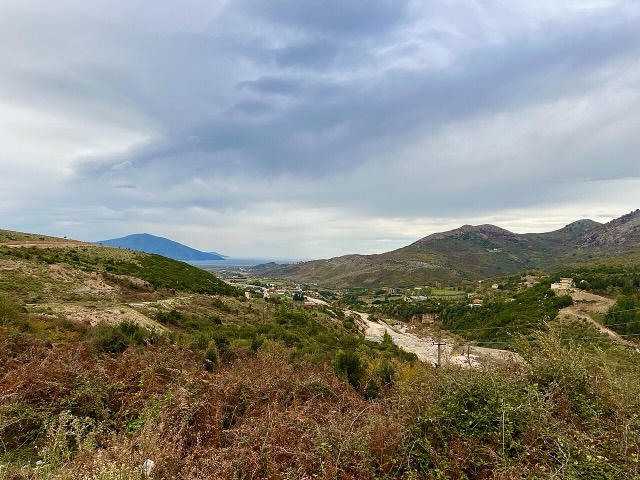
The SH8 is the road that runs along the southern coast. It climbs over the Llogara pass and then winds above the sea all the way to Sarandë. There is no other through road on that coast.
The SH8 is the road that runs along the southern coast. It climbs over the Llogara pass and then winds above the sea all the way to Sarandë. There is no other through road on that coast.
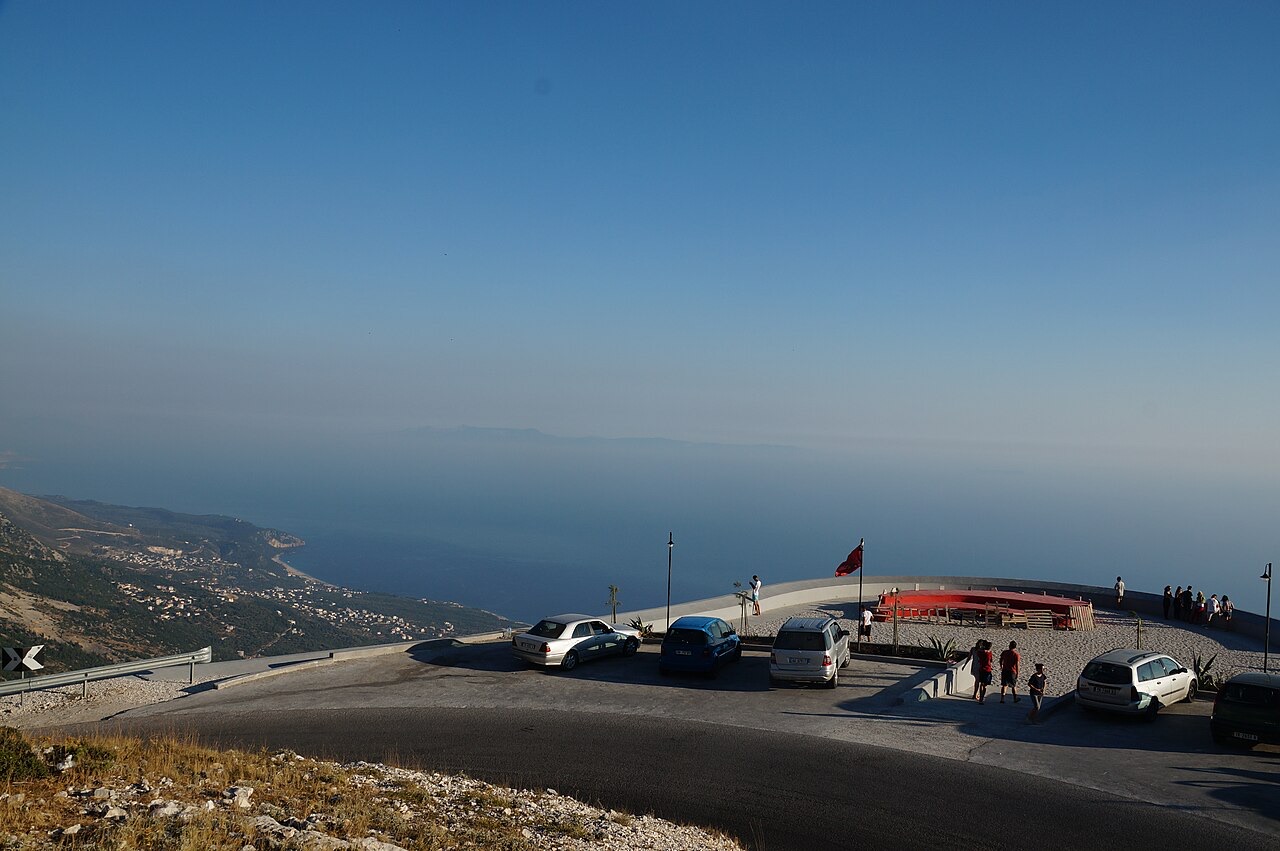
Это реальные связи в Атласе — места, расположенные рядом с данным, и темы, к которым оно действительно относится. Здесь нет универсальных рекомендаций.
The Ionian resort town facing Corfu, and the arrival point for most visitors to southern Albania.
Where the Adriatic meets the Ionian, and where Albanian independence was declared in 1912.
A pine-forested pass at 1,027 m where the road drops from mountain forest to the Ionian in a few kilometres.
An old white village on the slope above one of the Riviera's longest pebble beaches.
The centre of the Riviera coast: a Greek-speaking historical community, an old hill village and a string of coves.
The 120 km of Ionian coast between the Llogara pass and Sarandë, where the Ceraunian mountains fall straight into the…
The roads are better than the reputation and the driving is worse — what that means in practice.
Shkodër to Sarandë is about 400 km and takes two days done properly — here is how the country splits up.
Нашли ошибку на этой странице? Исправления приветствуются и проверяются по исходной записи. Сообщите нам, что именно неверно, и по возможности укажите, откуда взята правильная цифра.