도시 · Vlorë
Sarandë
The Ionian resort town facing Corfu, and the arrival point for most visitors to southern Albania.
모든 주, 모든 해안, 모든 세기
안내 보기
알바니아가 처음이신가요? 모든 페이지는 세부 내용이 시작되기 전에, 열 살짜리 아이도 이해할 수 있는 평이한 설명으로 시작됩니다.
전문가 보기
기본 내용은 이미 알고 계신가요? 간단한 설명은 숨기고 핵심 내용만 바로 확인하세요. 이것이 기본 설정입니다.
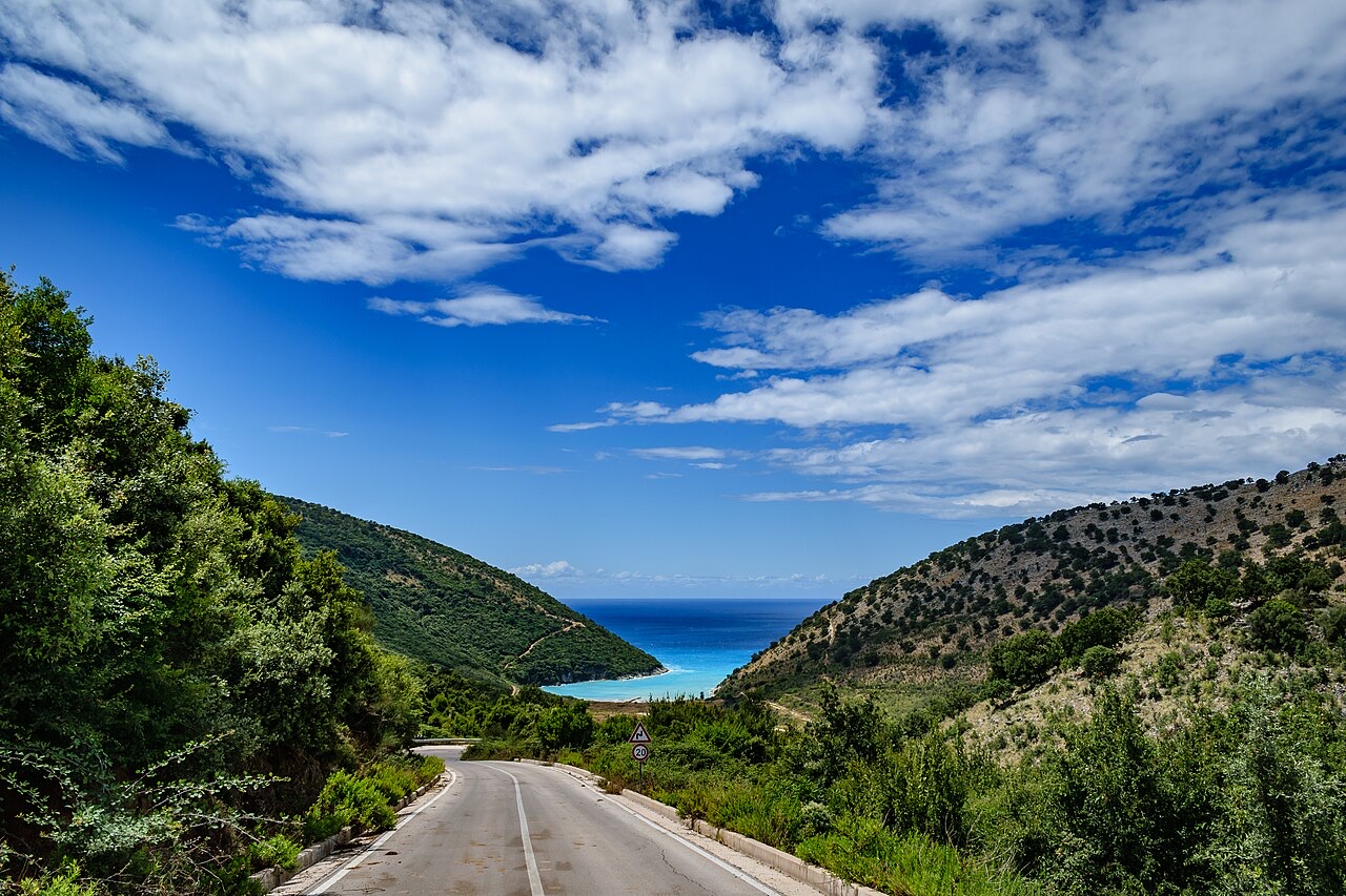
도로 · Vlorë County
The single road along the Albanian Riviera, over the Llogara pass and down the Ionian coast.
저장
The SH8 is the road that runs along the southern coast. It climbs over the Llogara pass and then winds above the sea all the way to Sarandë. There is no other through road on that coast.
The SH8 is the road that runs along the southern coast. It climbs over the Llogara pass and then winds above the sea all the way to Sarandë. There is no other through road on that coast.
도시 · Vlorë
The Ionian resort town facing Corfu, and the arrival point for most visitors to southern Albania.
도시 · Vlorë
Where the Adriatic meets the Ionian, and where Albanian independence was declared in 1912.
소도시 · Vlorë
The centre of the Riviera coast: a Greek-speaking historical community, an old hill village and a string of coves.
보호 구역 · Vlorë
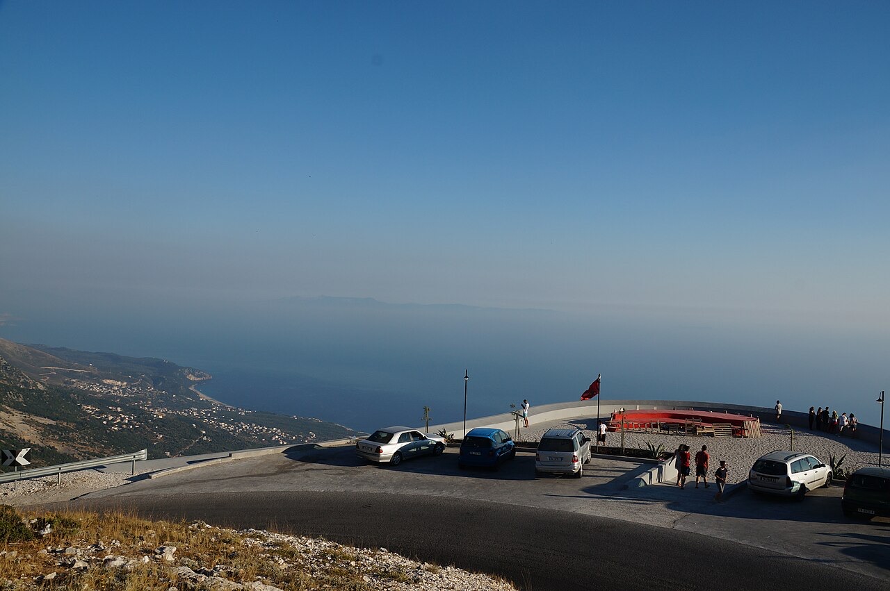
A pine-forested pass at 1,027 m where the road drops from mountain forest to the Ionian in a few kilometres.
마을 · Vlorë
An old white village on the slope above one of the Riviera's longest pebble beaches.
제목 · Vlorë
The 120 km of Ionian coast between the Llogara pass and Sarandë, where the Ceraunian mountains fall straight into the sea.
가이드
The roads are better than the reputation and the driving is worse. What that means in practice.
가이드
Shkodër to Sarandë is about 400 km. Done properly it takes two days; here is how the country splits up.
이 페이지에 오류가 있습니까? 수정 제안을 환영하며, 출처 기록과 대조하여 검토합니다. 잘못된 내용과 가능하다면 올바른 수치의 출처를 알려 주십시오.