Ciudad · Vlorë
Sarandë
The Ionian resort town facing Corfu, and the arrival point for most visitors to southern Albania.
Cada condado, cada costa, cada siglo
Vista guiada
¿Nuevo en Albania? Cada página comienza con una explicación en lenguaje sencillo que cualquiera podría entender, antes de entrar en los detalles.
Vista experta
Ya conoces los fundamentos. Directo al contenido, con las explicaciones básicas ocultas. Esta es la vista predeterminada.
Carretera · Vlorë County
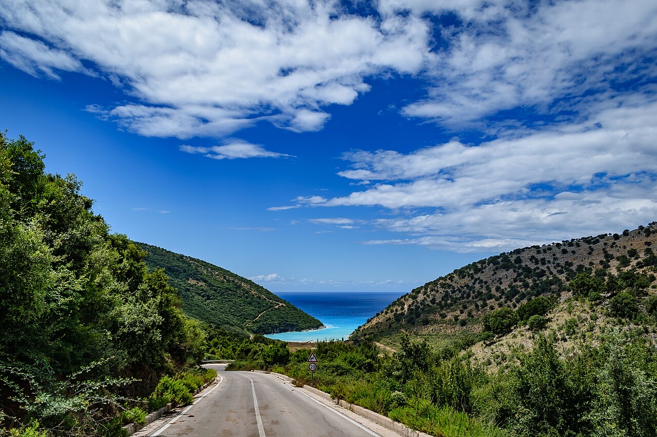
The single road along the Albanian Riviera, over the Llogara pass and down the Ionian coast.
Guardar
The SH8 is the road that runs along the southern coast. It climbs over the Llogara pass and then winds above the sea all the way to Sarandë. There is no other through road on that coast.
The SH8 is the road that runs along the southern coast. It climbs over the Llogara pass and then winds above the sea all the way to Sarandë. There is no other through road on that coast.
Ciudad · Vlorë
The Ionian resort town facing Corfu, and the arrival point for most visitors to southern Albania.
Ciudad · Vlorë
Where the Adriatic meets the Ionian, and where Albanian independence was declared in 1912.
Localidad · Vlorë
The centre of the Riviera coast: a Greek-speaking historical community, an old hill village and a string of coves.
Área protegida · Vlorë
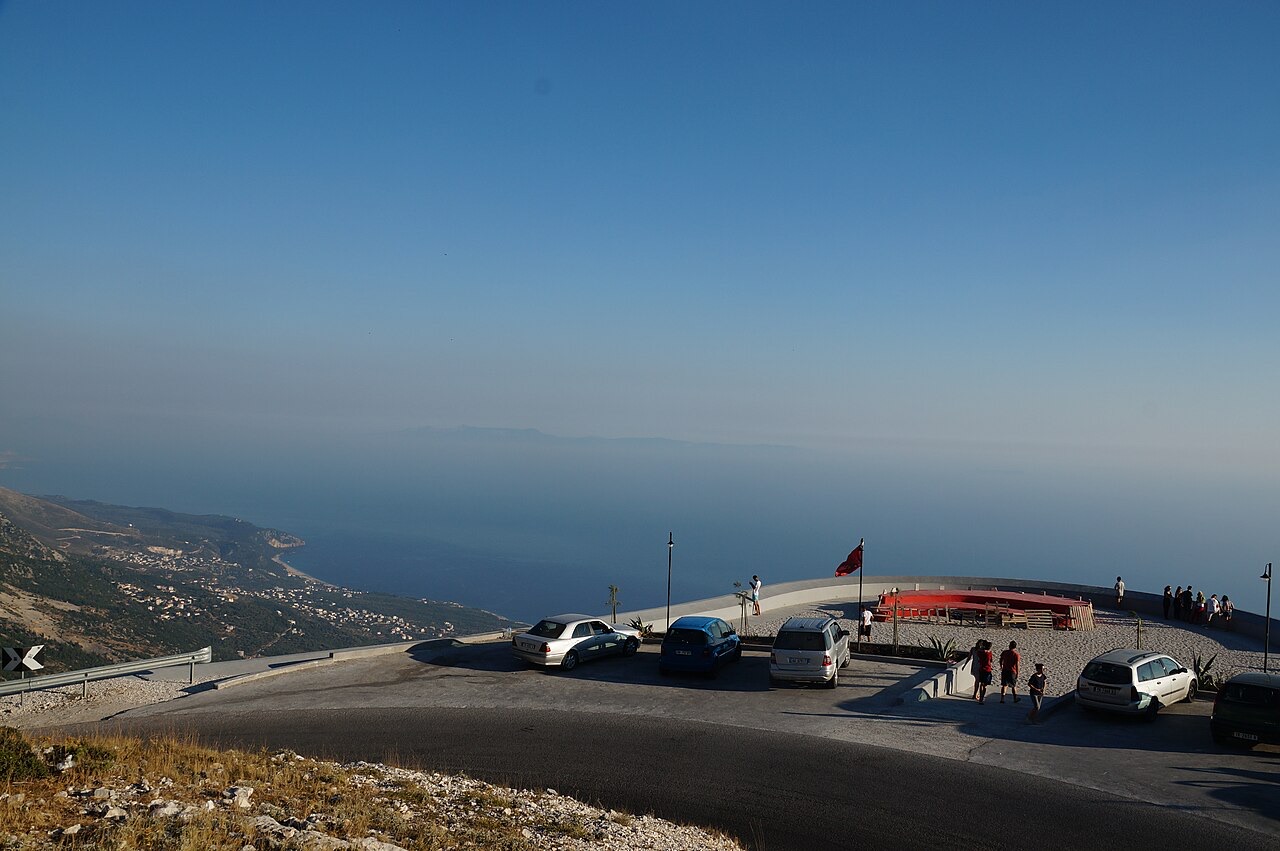
A pine-forested pass at 1,027 m where the road drops from mountain forest to the Ionian in a few kilometres.
Pueblo · Vlorë
An old white village on the slope above one of the Riviera's longest pebble beaches.
Asunto · Vlorë
The 120 km of Ionian coast between the Llogara pass and Sarandë, where the Ceraunian mountains fall straight into the sea.
Guía
The roads are better than the reputation and the driving is worse. What that means in practice.
Guía
Shkodër to Sarandë is about 400 km. Done properly it takes two days; here is how the country splits up.
¿Algo incorrecto en esta página? Las correcciones son bienvenidas y se contrastan con el registro fuente. Indíquenos qué es incorrecto y, si puede, de dónde procede el dato correcto.