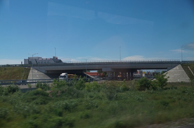
مدينة · Vlorë
Sarandë
The Ionian resort town facing Corfu, and the arrival point for most visitors to southern Albania.
كل مقاطعة، كل ساحل، كل قرن
عرض إرشادي
هل أنت جديد على ألبانيا؟ تفتتح كل صفحة بشرح مبسّط يمكن قراءته لطفل في العاشرة من عمره، قبل أن تبدأ التفاصيل.
عرض للمتخصصين
أنت تعرف الأساسيات بالفعل. مباشرةً إلى الجوهر، مع إخفاء الشروح المبسّطة. هذا هو الوضع الافتراضي.
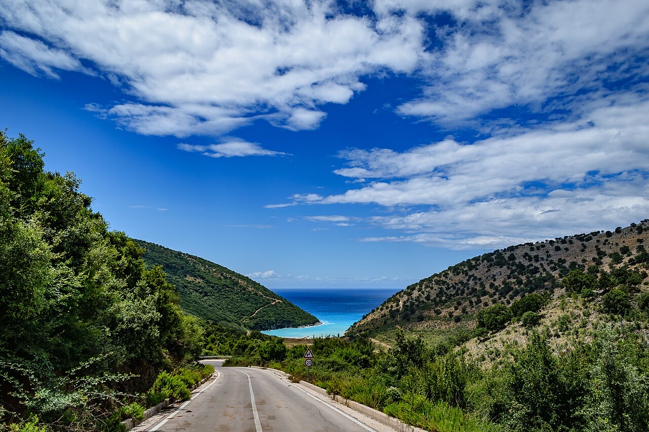
طريق · Vlorë County
The single road along the Albanian Riviera, over the Llogara pass and down the Ionian coast.
حفظ
The SH8 is the road that runs along the southern coast. It climbs over the Llogara pass and then winds above the sea all the way to Sarandë. There is no other through road on that coast.
The SH8 is the road that runs along the southern coast. It climbs over the Llogara pass and then winds above the sea all the way to Sarandë. There is no other through road on that coast.
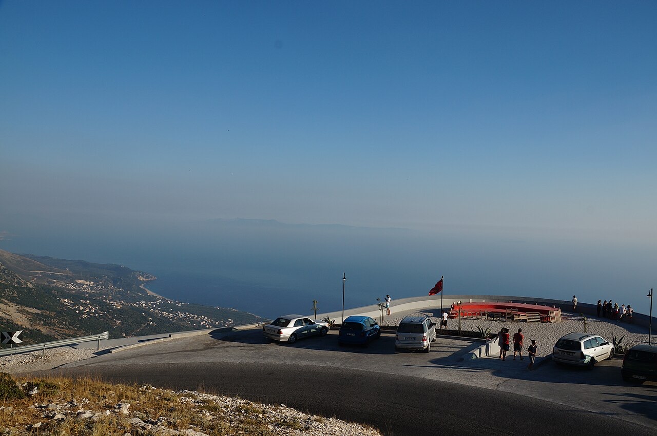
مدينة · Vlorë
The Ionian resort town facing Corfu, and the arrival point for most visitors to southern Albania.
مدينة · Vlorë
Where the Adriatic meets the Ionian, and where Albanian independence was declared in 1912.
بلدة · Vlorë
The centre of the Riviera coast: a Greek-speaking historical community, an old hill village and a string of coves.
منطقة محمية · Vlorë
A pine-forested pass at 1,027 m where the road drops from mountain forest to the Ionian in a few kilometres.
قرية · Vlorë
An old white village on the slope above one of the Riviera's longest pebble beaches.
الموضوع · Vlorë
The 120 km of Ionian coast between the Llogara pass and Sarandë, where the Ceraunian mountains fall straight into the sea.
دليل
The roads are better than the reputation and the driving is worse. What that means in practice.
دليل
Shkodër to Sarandë is about 400 km. Done properly it takes two days; here is how the country splits up.
ثمة خطأ في هذه الصفحة؟ نرحب بالتصويبات وتُراجَع في مواجهة سجل المصدر. أخبرنا بما هو خاطئ، وإن أمكن، بالمكان الذي يأتي منه الرقم الصحيح.