Ville · Durrës
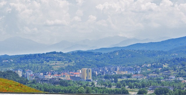
Durrës
Albania's principal port and its oldest continuously inhabited city, founded as Epidamnos in 627 BC.
Chaque comté, chaque côte, chaque siècle
Vue guidée
Nouveau en Albanie ? Chaque page s'ouvre sur une explication en langage clair, accessible à un enfant de dix ans, avant d'entrer dans le détail.
Vue expert
Vous connaissez déjà les bases. Directement à l'essentiel, les explications simples étant masquées. Il s'agit du réglage par défaut.
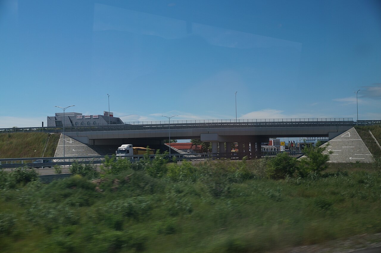
Route · Kukës County
The Durrës–Kukës–Morina motorway, including the 5.6 km Kalimash tunnel, linking Albania to Kosovo.
Enregistrer
The A1 is the motorway that runs from the coast up into the north-eastern mountains and on to Kosovo. It goes through a tunnel more than five kilometres long under a mountain. Albanians call it Rruga e Kombit — the Nation's Road.
The A1 is the motorway that runs from the coast up into the north-eastern mountains and on to Kosovo. It goes through a tunnel more than five kilometres long under a mountain. Albanians call it Rruga e Kombit — the Nation's Road.
The A1 motorway — officially Autostrada A1, also designated SH10 and popularly called Rruga e Kombit (Nation's Highway) — is the longest toll motorway in Albania, stretching 114 kilometres (71 mi) through the counties of Lezhë and Kukës. For most of its length it carries two traffic lanes and an emergency lane in each direction, separated by a central reservation.
The road runs on a northeast–southwest axis, beginning near Kashar on the outskirts of Tirana, passing through Thumanë, Milot, Rrëshen, Kalimash, and Kukës before reaching the Kosovo border at Morinë. In Kosovo it continues as the R7 motorway, ending near Gjurgjica on the outskirts of Pristina. The corridor is part of South-East European Route 7 and, when complete, is intended to link the Adriatic Sea ports of Durrës and Shëngjin with Pristina and onward to the E75/Corridor X near Niš, Serbia.
The motorway also forms part of European route E851, which runs from Petrovac in Montenegro through Shkodër and Kukës to Pristina. The southwestern section around Durrës County is considered a segment of the Adriatic–Ionian motorway, a planned cross-Balkan route stretching from Italy in the north to Greece in the south.
The most demanding section of the highway is the 61-kilometre (38 mi) stretch between Rrëshen and Kalimash, divided into three sub-sections: 19 kilometres (12 mi) from Rrëshen to Reps, 27 kilometres (17 mi) from Reps to Thirrë, and 15 kilometres (9.3 mi) from Thirrë to Kolshi. Across this terrain, engineers constructed one tunnel and 27 viaducts, of which 17 viaducts are concentrated in the Reps-to-Thirrë sub-section alone.
The third sub-section, between Thirrë and Kolshi, traverses Mount Runes at an elevation of 1,858 metres (6,096 ft). Laying the road surface at that altitude was a significant engineering difficulty, compounded by the logistical challenge of transporting heavy construction equipment and materials to the site. At peak activity, approximately 3,800 workers were employed on the project, requiring organisation of accommodation, food, and clothing on site.
To limit environmental impact, the project used a hydro-powered electricity grid rather than diesel generators. This reduced CO2 emissions by an estimated 613,000 pounds (278,000 kg) per month. The section between Rrëshen and Kalimash is regarded as superior in both safety and construction quality compared to other parts of the motorway. The section between Milot and Rrëshen remains a single carriageway, and several viaducts near Kukës were only recently expanded to dual carriageways.
The highway includes a double-bore tunnel measuring 5.5 kilometres (3.4 mi) in length. Construction began in May 2007, with all four faces of the two tubes worked simultaneously. The north-bound tube was inaugurated in June 2009 as scheduled; the south-bound tube was completed in July 2010.
In November 2009, a partial collapse occurred over a 50-metre (160 ft) section in the central-south bore. No injuries or equipment damage were reported. The collapse was attributed to heavy overbreak during excavation at a geologically complex zone inside the tunnel, which delayed completion of the south-bound bore. During construction, the tunnelling team encountered five distinct rock types within the tunnel.
The article elsewhere refers to this tunnel as 6 kilometres (3.7 mi) in round figures. The tunnel entrance near Kolsh became the initial location for toll collection when the motorway was first made subject to tolls.
Work on the Milot–Rrëshen section began in 2003 under the government of Fatos Nano. The contract for the Rrëshen–Kalimash segment — approximately one-third of the entire project — was awarded in September 2006 to a joint venture of Bechtel, a US-based engineering company, and Enka, a Turkey-based construction company. The majority of construction on that segment was complete by June 2009, when the north-bound tunnel tube opened to traffic. The same Bechtel-Enka consortium also constructed the R7 motorway in Kosovo.
Contractors working on the remaining portions of the highway included Albanian, Austrian, and Slovenian firms. In late June 2024, the Thumanë–Kashar segment — approximately 20 kilometres (12 mi) long — opened as part of the Adriatic–Ionian motorway, incorporating two intersections, 11 bridges, and 12 underpasses. The Milot Interchange was completed as a trumpet interchange in 2019.
The project's initial estimated cost was €600 million, but this more than doubled during construction. The total cost is estimated at over €1 billion (approximately $1.4 billion), financed by the Albanian government and foreign lending institutions. The project has attracted allegations of corruption and has contributed to growing public debt, according to the source article.
In March 2018, the A1 was temporarily made a toll highway, marking the first time Albania had imposed tolls on a motorway. The move was strongly opposed by local residents, who cited a lack of government consultation and described the fees as unaffordable. Protests turned violent, and the government subsequently withdrew the tolls and entered consultations with affected communities.
After renovations, toll collection resumed permanently in September 2018. Toll booths were installed east of the tunnel entrance at Kolsh. Since 2018, the motorway has been operated by Albanian Highway Concession shpk under a public–private partnership road concession and maintenance arrangement. The operator introduced safety and infrastructure improvements including new interchanges, pedestrian overpasses, fencing, electronic signage, expanded viaducts, and a new bridge over the Drini River.
Toll booths have also been installed on the Thumanë–Kashar segment, where the fee is €2.1 per vehicle each way. Payment is accepted in cash — in Albanian lek or often in euros — and through electronic toll collection systems including contactless payment and prepaid toll cards.
The highway reduced travel time between Albania and Kosovo from approximately six to seven hours via old mountain roads to two to two-and-a-half hours, at speeds of 80–110 kilometres per hour (50–68 mph). Since the end of the Kosovo War in 1999, hundreds of thousands of Albanians had used the old mountain road each year to reach Albanian beaches; the new road was expected to support year-round tourism and, according to projections cited in the article, potentially double the size of the Albanian market.
The road is described as Albania's largest infrastructure project in decades, at a cost of over one billion euros. It has been dubbed the 'patriotic highway' because it physically links Albanian communities in Albania and Kosovo, deepening cultural and economic ties between the two countries. The highway also facilitates access to the Adriatic ports of Durrës and Shëngjin, which serve large numbers of tourists arriving from Kosovo.
US Congressman Eliot Engel is recorded in the source article as having compared the vision of Albanian Prime Minister Sali Berisha to construct the highway to President Eisenhower's programme of building the interstate highway system across the United States.
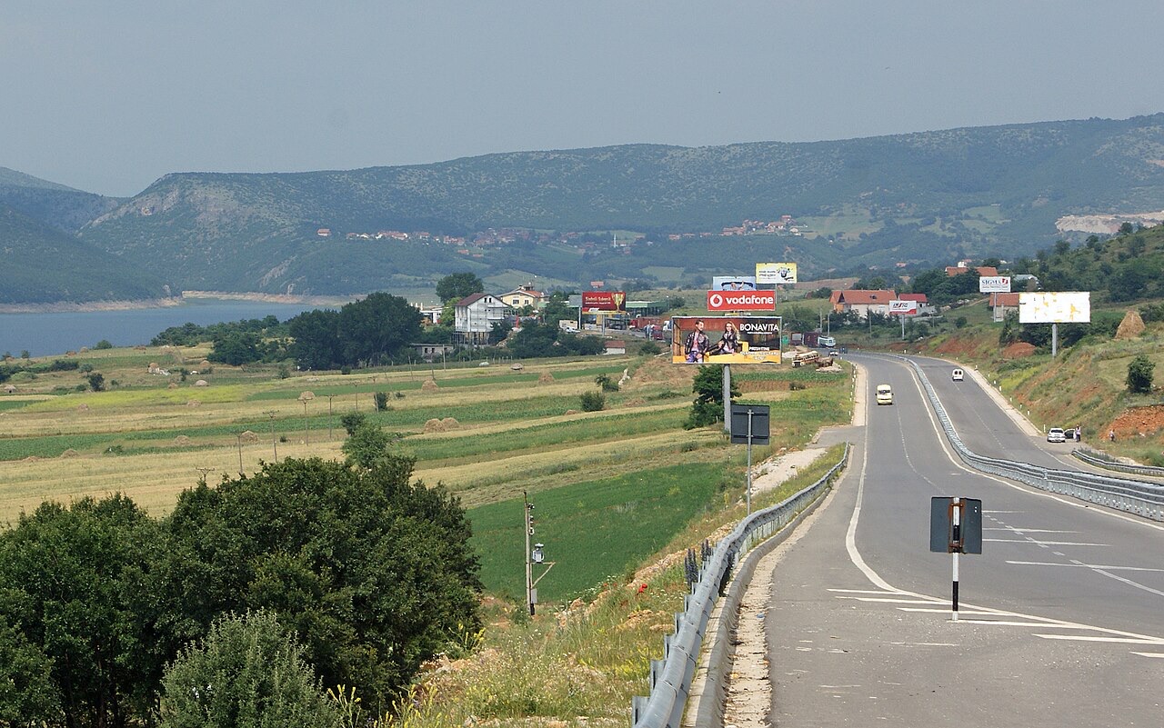
Ville · Durrës
Albania's principal port and its oldest continuously inhabited city, founded as Epidamnos in 627 BC.
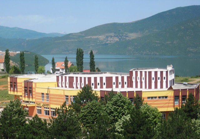
Bourg · Kukës
A town rebuilt above a reservoir in the 1970s, and the northern end of the Nation's Road.
Guide
The roads are better than the reputation and the driving is worse. What that means in practice.
Guide
Shkodër to Sarandë is about 400 km. Done properly it takes two days; here is how the country splits up.
Une erreur sur cette page ? Les corrections sont les bienvenues et sont vérifiées par rapport au document source. Indiquer ce qui est erroné et, si possible, d'où provient le chiffre correct.