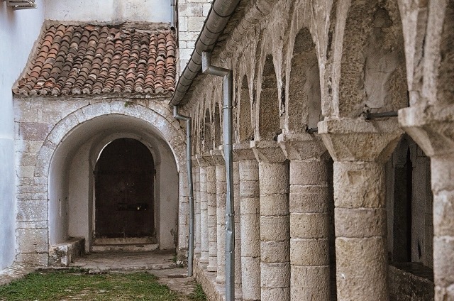
مدينة · Elbasan
Elbasan
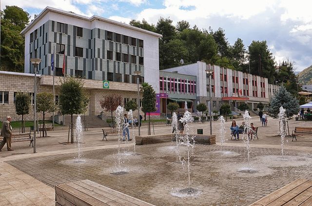
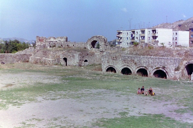
A central industrial city inside an Ottoman fortress wall, on the old Via Egnatia.
كل مقاطعة، كل ساحل، كل قرن
عرض إرشادي
هل أنت جديد على ألبانيا؟ تفتتح كل صفحة بشرح مبسّط يمكن قراءته لطفل في العاشرة من عمره، قبل أن تبدأ التفاصيل.
عرض للمتخصصين
أنت تعرف الأساسيات بالفعل. مباشرةً إلى الجوهر، مع إخفاء الشروح المبسّطة. هذا هو الوضع الافتراضي.
نهر · Elbasan County
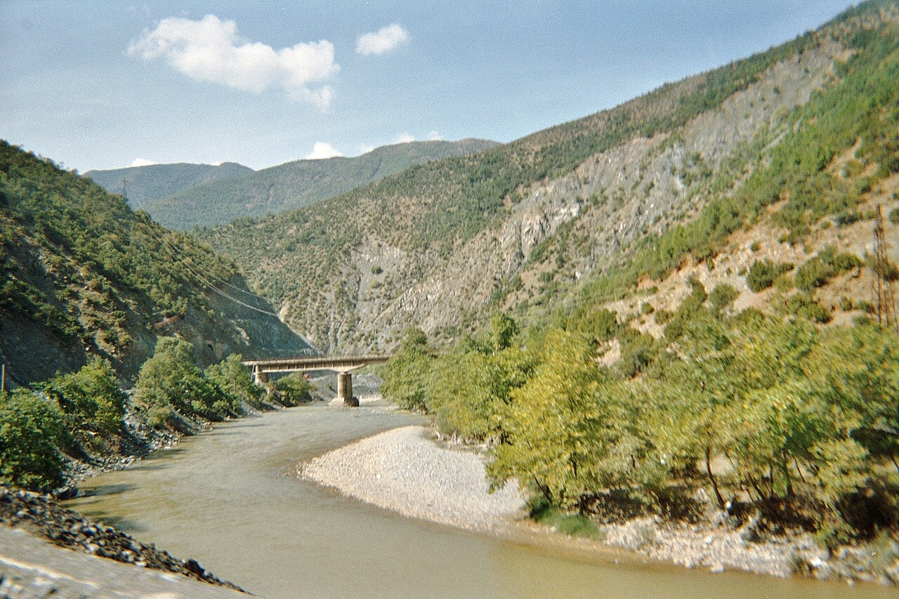
The river that splits Albania in two — the historic dividing line between Gheg and Tosk.
حفظ
The Shkumbin river runs across the middle of Albania. It is important because the way people speak Albanian changes on either side of it: Gheg to the north, Tosk to the south.
The Shkumbin river runs across the middle of Albania. It is important because the way people speak Albanian changes on either side of it: Gheg to the north, Tosk to the south.
The Shkumbin is 181.4 km (112.7 mi) long with a drainage basin of 2,444 km² (944 sq mi). Its average discharge is 61.5 m³/s (2,170 cu ft/s). These figures make it one of the more substantial rivers of central Albania, though the article does not rank it against other Albanian rivers by volume or length.
The river originates in the eastern Valamara Mountains, between the peaks of Maja e Valamarës at 2,375 m (7,792 ft) and Gur i Topit at 2,120 m (6,960 ft), in southeastern Albania. A significant additional inflow enters from Gur i Kamjës, at 1,481 m (4,859 ft), southwest of Pogradec.
After descending from the Valamara Mountains, the Shkumbin flows northward through Proptisht and Qukës, cutting through many deep gorges and canyons and passing the Gora Mountains. For much of this stretch it runs inside a syncline bounded by the Mokra and Shebenik Mountains to the east and the Polis Mountains to the west.
Close to Librazhd, roughly 50 km (31 mi) west of its source, the river turns westward and joins the Rapun stream. It then crosses the Myzeqe Plain before forming a small delta at Karavasta Lagoon, in the direct proximity of the Adriatic Sea. The transition from steep mountain gorges to a flat alluvial plain is therefore a defining feature of its lower course.
The river's oldest recorded name is the Illyrian Genusus, attested in Latin as Genusus (also Genessus) and in Ancient Greek as Γενούσος. This was replaced by the Latin name Scampinus, recorded alternatively as Scampis, which derived from the large Roman town near present-day Elbasan that stood on its banks.
The modern Albanian name Shkumbin evolved phonetically from the Latin Scampinus. Scholars have rejected any Slavic intermediation in this process. The name's inclusion in the category of Latin loanwords into Proto-Albanian, together with the documented phonetic evolution, is held to coincide with the historical existence of that Roman urban centre near Elbasan.
In classical antiquity the valley of the Shkumbin lay in central southern Illyria and was inhabited by several distinct Illyrian peoples. The Parthini occupied the middle valley of the river. To their west, in the coastal area including the lower valley, lived the Taulantii. To the east, in the region of Lake Ohrid including the upper valley, lived the Dassaretii.
The river was known in this period by both its Illyrian name, Genusus, and by the name Scampini, derived from the town of Scampa. These dual designations reflect the river's role as a boundary zone between neighbouring peoples and as a named landmark within the Roman administrative geography of the region.
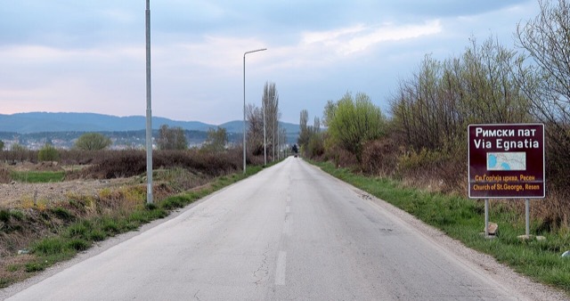
The ancient Via Egnatia followed the valley of the Shkumbin, giving the river strategic importance as a corridor between east and west. The road began as two branches: a northern branch from Epidamnos-Dyrrhachion (modern Durrës) and a southern branch from Apollonia. The two branches converged at Ad Quintum, near modern Elbasan, and then continued eastward through the Shkumbin valley.
This routing meant that the Shkumbin valley functioned as a principal land route linking the Adriatic coast to the interior of the Balkans throughout the Roman period and beyond. Control of the valley therefore carried considerable military and commercial significance in classical and late-antique times.
During the Roman Imperial period, the administrative boundary between the provinces of Illyricum and Epirus Nova ran from the west somewhere between Scodra (Shkodër) and Dyrrachium (Durrës), eastward to somewhere between the northern side of the Shkumbin and Lake Ohrid. The article notes that this line was not precise, using the qualifier 'somewhere' for both its western and eastern termini.
Over the same period, the valley of the Shkumbin constituted roughly the border between the Latin-speaking area to the north and the Greek-speaking area to the south. This linguistic geography of the Roman Empire prefigured later divisions that have persisted in Albanian dialectology.
The Shkumbin is today regarded as the approximate geographical dividing line between the two principal dialect groups of Albanian: Gheg, spoken north of the river, and Tosk, spoken south of it. The river thus marks one of the most significant internal boundaries in Albanian linguistics.
The dialectal split is dated by the article to after the Christianisation of the region in the 4th century AD, with the Shkumbin serving as the historic boundary. This boundary is described as having straddled the Jireček line, the scholarly concept denoting the division between the zones of Latin and Greek cultural influence in the Balkans.
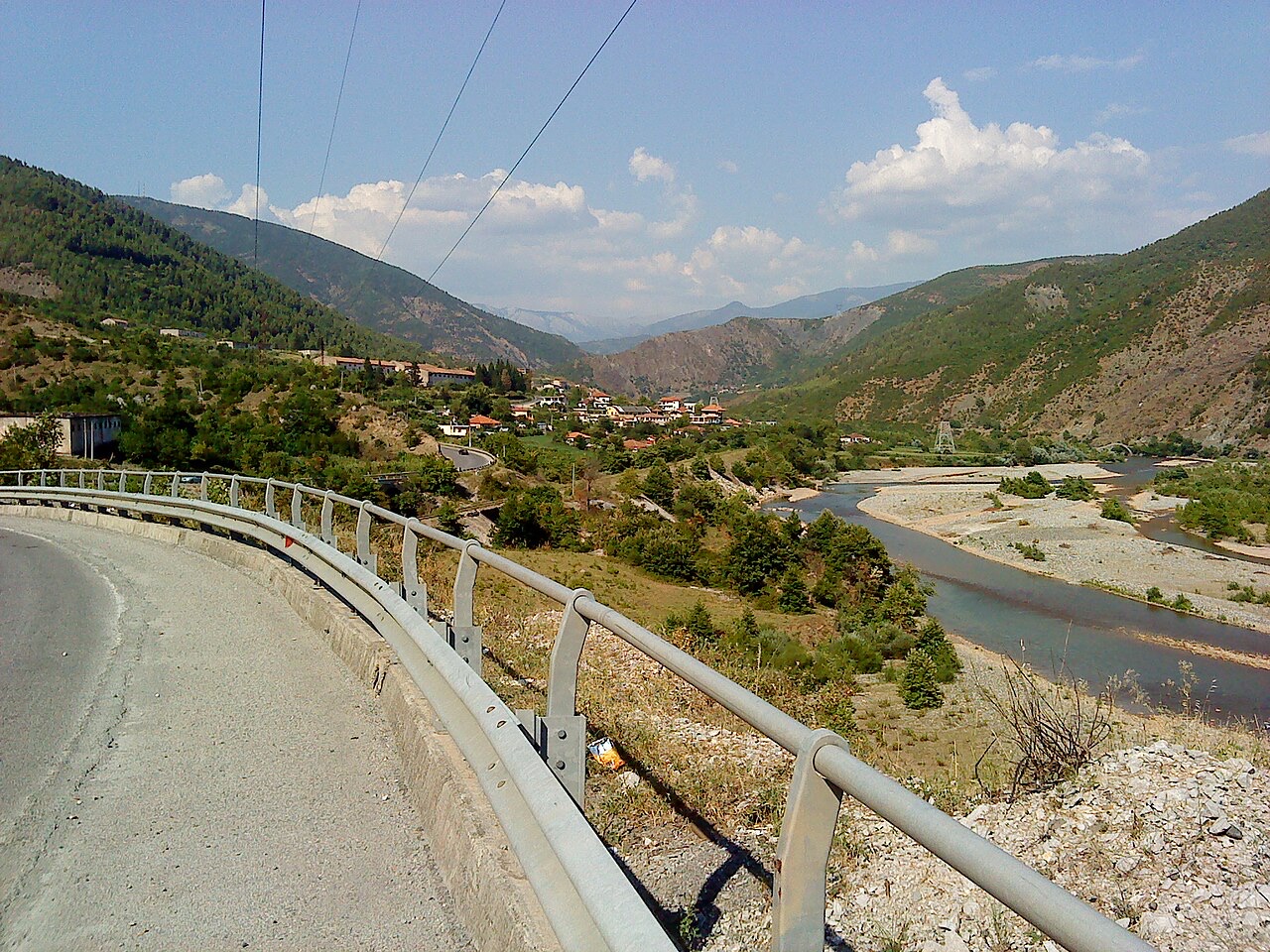
The Shkumbin ends its course by crossing the Myzeqe Plain, a low-lying coastal plain in western Albania, before forming a small delta at Karavasta Lagoon on the Adriatic coast. The article describes the delta as small, without giving dimensions for it separately from the river's overall drainage figures.
Karavasta Lagoon lies in direct proximity to the Adriatic Sea. The article does not provide further detail on the lagoon itself, the delta's morphology, or the rate at which the delta may be changing. Those subjects would require sources beyond the scope of this article.
مدينة · Elbasan
A central industrial city inside an Ottoman fortress wall, on the old Via Egnatia.
الموضوع
An independent branch of the Indo-European family with no close living relative, written in a 36-letter Latin alphabet.
الموضوع
Rome's road from the Adriatic to Byzantium, which began at Durrës and Apollonia.
الموضوع
The two dialect groups, divided by the Shkumbin river: Gheg to the north, Tosk to the south.
ثمة خطأ في هذه الصفحة؟ نرحب بالتصويبات وتُراجَع في مواجهة سجل المصدر. أخبرنا بما هو خاطئ، وإن أمكن، بالمكان الذي يأتي منه الرقم الصحيح.