Thành phố · Shkodër
Shkodër
The cultural capital of the north: a lake, a fortress, a bicycle city and a Catholic heartland.
Mọi hạt, mọi bờ biển, mọi thế kỷ
Chế độ hướng dẫn
Mới tìm hiểu về Albania? Mỗi trang mở đầu bằng một giải thích ngôn ngữ đơn giản mà bạn có thể đọc cho một đứa trẻ mười tuổi, trước khi đi vào chi tiết.
Chế độ chuyên gia
Bạn đã nắm được những điều cơ bản. Đi thẳng vào nội dung, với các giải thích đơn giản được ẩn đi. Đây là chế độ mặc định.
Sông · Shkodër County
A tributary of the Drin above Koman, reached by boat and often called Albania's Thailand.
Lưu
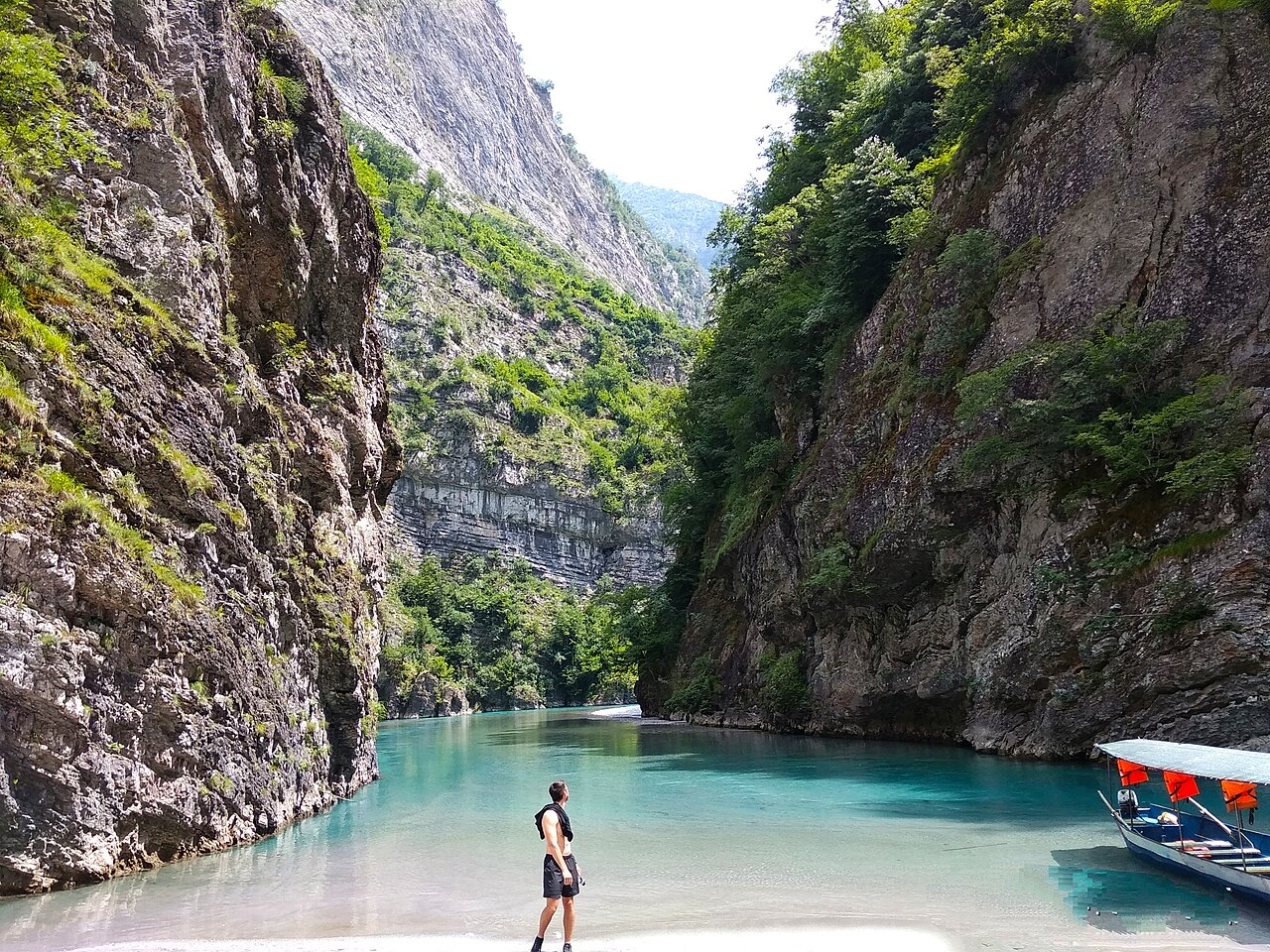
The Shala is a clear river in the northern mountains with pale stones and turquoise water. Most people arrive by small boat from Lake Koman for the day.
The Shala is a clear river in the northern mountains with pale stones and turquoise water. Most people arrive by small boat from Lake Koman for the day.
The Shala River (Albanian: Shalë; definite form Shala; also known as Lumi i Shalës) flows through the Albanian Alps in northern Albania. Its source lies near the village of Theth, close to the border with Montenegro, within the Alps of Albania National Park. From there it runs generally southward for 37 km before discharging into Lake Koman, the reservoir created by the artificial damming of the Drin River, near the village of Telum.
The river passes through the municipal units of Shalë, Shosh, and Temal in sequence. Its named source is Shtraza, at the upper end of Theth village at the foot of the Radohina massif. The channel then descends through the valleys of Shala, Thethi, Ndërlysa, and Musha, past Breg-Lumi, through the Porta e Shalës (the Gorge of Rrshqëm), and on through Lotaj and the valley of Shoshi before reaching the lake.
The Shala is a mountain river with an average drop of 22 metres per kilometre, reflecting the steep terrain of the Albanian Alps through which it cuts. This gradient produces fast-moving water and the steep cliff formations that enclose much of the channel.
Average annual flow is recorded at approximately 34 cubic metres per second. Peak flows occur in November, when inflows reach around 52 cubic metres per second. The lowest flows occur in August, falling to approximately 9 cubic metres per second. The river is noted for the clarity and characteristic cool blue colour of its water.
The Shala River supports fish populations, and the article identifies trout as the most widespread species in the river. No further detail on species composition or population status is provided in the available source material.
The Shala does not discharge into the natural Drin River but into Lake Koman, the artificial reservoir formed by the damming of the Drin. This means the lower course of the Shala meets a managed water body rather than a free-flowing river. The confluence point is near the village of Telum. Lake Koman is a recognised tourist destination, and the Shala's lower reaches are considered part of that broader attraction.
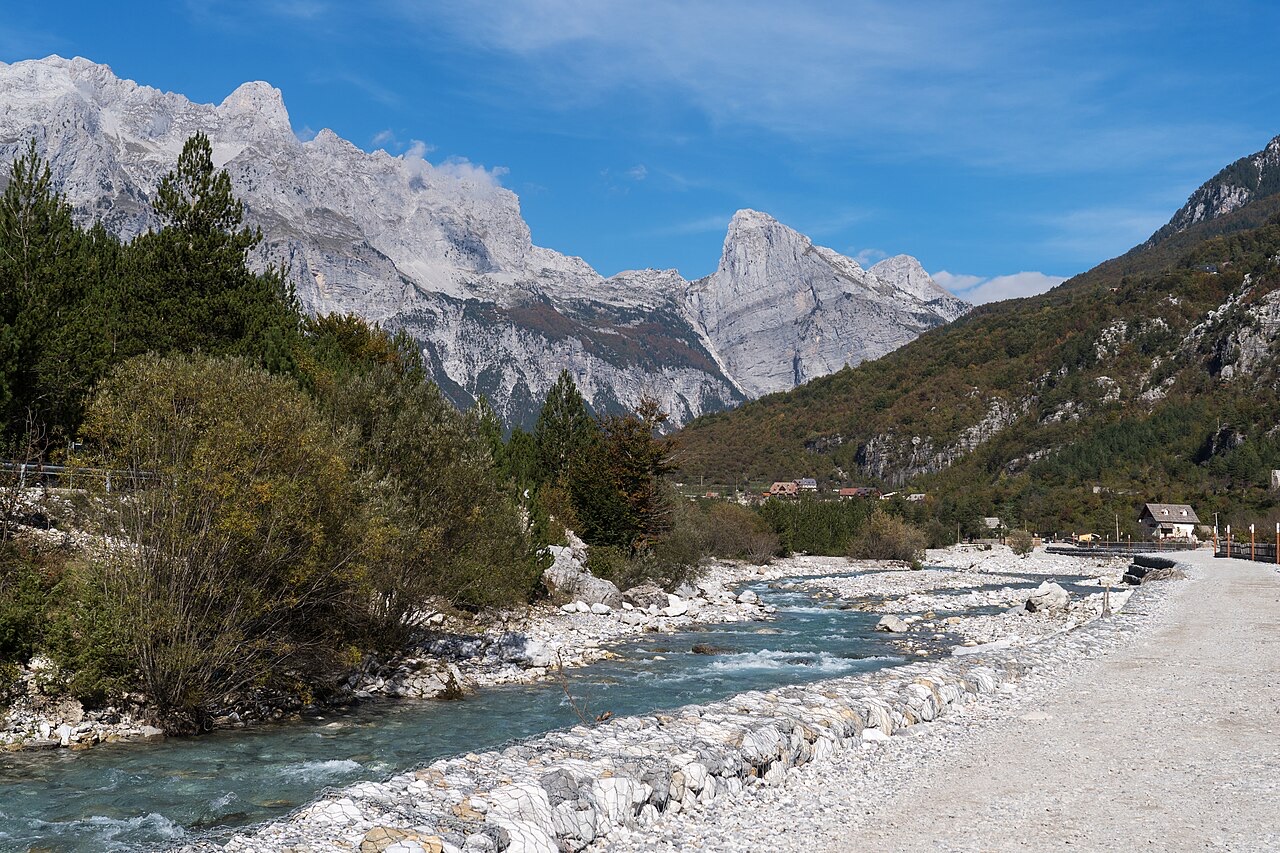
The river's source at Shtraza places its headwaters within the Alps of Albania National Park, a protected area in the mountainous north of the country close to the Montenegrin border. The village of Theth, near which the source lies, sits at the upper end of the valley that the river drains. The park context means the upper catchment falls under national conservation designation, though the article does not specify the management implications for the river itself.
The Shala River has developed into a tourist destination drawing both Albanian and foreign visitors. Visitor accounts cited in the article describe it in terms of its scenic qualities, particularly the crystalline water and the enclosing cliff walls. No visitor numbers, infrastructure details, or management arrangements are described in the available source.
The river's course runs through three municipal units: Shalë, Shosh, and Temal, each sharing its name with or lying within the broader Shala valley system. The river gives its name to the Shalë municipal unit, indicating a long-standing geographic and administrative association. The source village of Theth and the destination point near Telum mark the northern and southern extremes of the catchment the river drains.
Between source and mouth the Shala passes through a sequence of named valleys and landforms. After leaving the Theth area, it moves through the Ndërlysa and Musha valleys, then enters the Porta e Shalës, the gorge known as the Gorge of Rrshqëm. Below the gorge it continues through Lotaj and into the valley of Shoshi. The succession of enclosed valleys and gorge sections accounts for the steep cliffs that characterise much of the river corridor and for the consistent gradient of 22 metres per kilometre across the river's 37 km length.
Tháng nóng nhất là August (nhiệt độ cao trung bình ngày 30°C), tháng lạnh nhất là January (nhiệt độ thấp trung bình ngày 1°C), và tháng mưa nhiều nhất là December (274 mm). Tổng lượng mưa hàng năm trung bình 1,988 mm.
| Tháng | Cao | Thấp | Mưa | Ngày mưa | Nắng/ngày |
|---|---|---|---|---|---|
| January | 8°C | 1°C | 218 mm | 13 | 6.2 h |
| February | 9°C | 2°C | 196 mm | 12 | 7.1 h |
| March | 13°C | 4°C | 190 mm | 13 | 8.8 h |
| April | 17°C | 8°C | 169 mm | 15 | 9.9 h |
| May | 22°C | 14°C | 139 mm | 15 | 11.6 h |
| June | 27°C | 17°C | 86 mm | 13 | 13.2 h |
| July | 29°C | 20°C | 65 mm | 10 | 13.5 h |
| August | 30°C | 20°C | 58 mm | 9 | 12.6 h |
| September | 24°C | 16°C | 160 mm | 10 | 10.2 h |
| October | 20°C | 11°C | 171 mm | 10 | 8.6 h |
| November | 14°C | 7°C | 261 mm | 14 | 6.4 h |
| December | 10°C | 3°C | 274 mm | 14 | 5.7 h |
Nguồn: ERA5 reanalysis via Open-Meteo, 1994–2023 · "Cao" và "Thấp" là nhiệt độ không khí tối đa và tối thiểu trung bình ngày. "Ngày mưa" tính những ngày có lượng mưa ít nhất 1 mm.
Thành phố · Shkodër
The cultural capital of the north: a lake, a fortress, a bicycle city and a Catholic heartland.
Làng · Shkodër
A glacial valley village in the Albanian Alps: a lock-in tower, a waterfall, and one end of the country's best-known trek.
Hồ · Shkodër
A 34 km reservoir in a gorge so narrow the ferry crossing is treated as a scenic journey in its own right.
Tuyến phà · Shkodër
A working transport link through a gorge that has become one of Albania's best-known journeys.
Có thông tin sai trên trang này? Chúng tôi hoan nghênh các đề nghị đính chính và sẽ đối chiếu với hồ sơ nguồn. Hãy cho chúng tôi biết điều gì sai và, nếu có thể, nguồn số liệu chính xác là ở đâu.