城市 · Shkodër
Shkodër
The cultural capital of the north: a lake, a fortress, a bicycle city and a Catholic heartland.
每个县、每段海岸、每个世纪
引导视图
初次了解阿尔巴尼亚?每个页面均以通俗易懂的说明开篇——即便是十岁的孩子也能读懂——随后再展开详细内容。
专业视图
您已掌握基础知识。直接进入正题,简明解释默认隐藏。此为默认模式。
河流 · Shkodër County
Albania's longest river and the backbone of its electricity system, dammed three times in the north.
保存
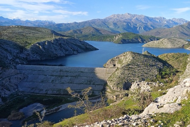
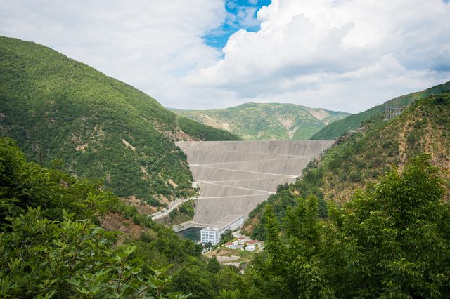
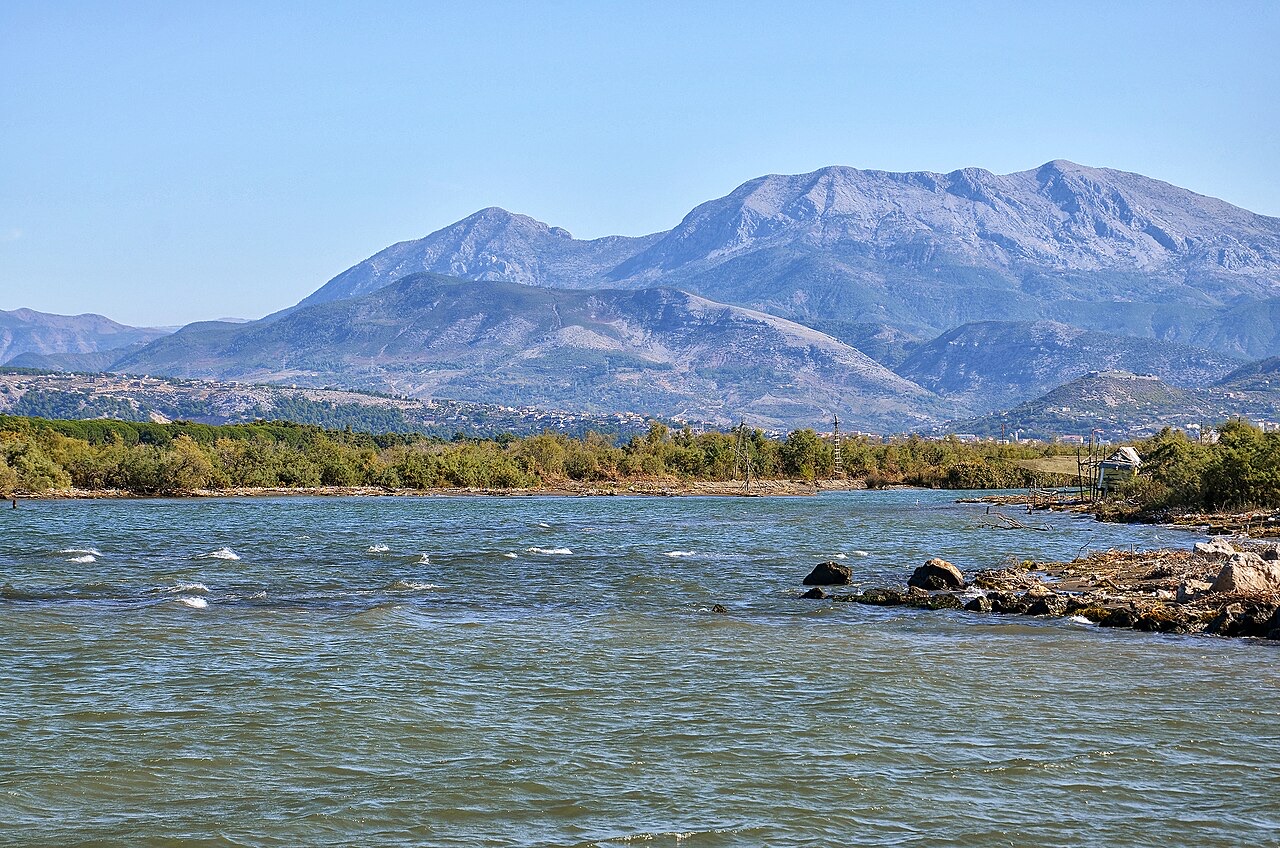
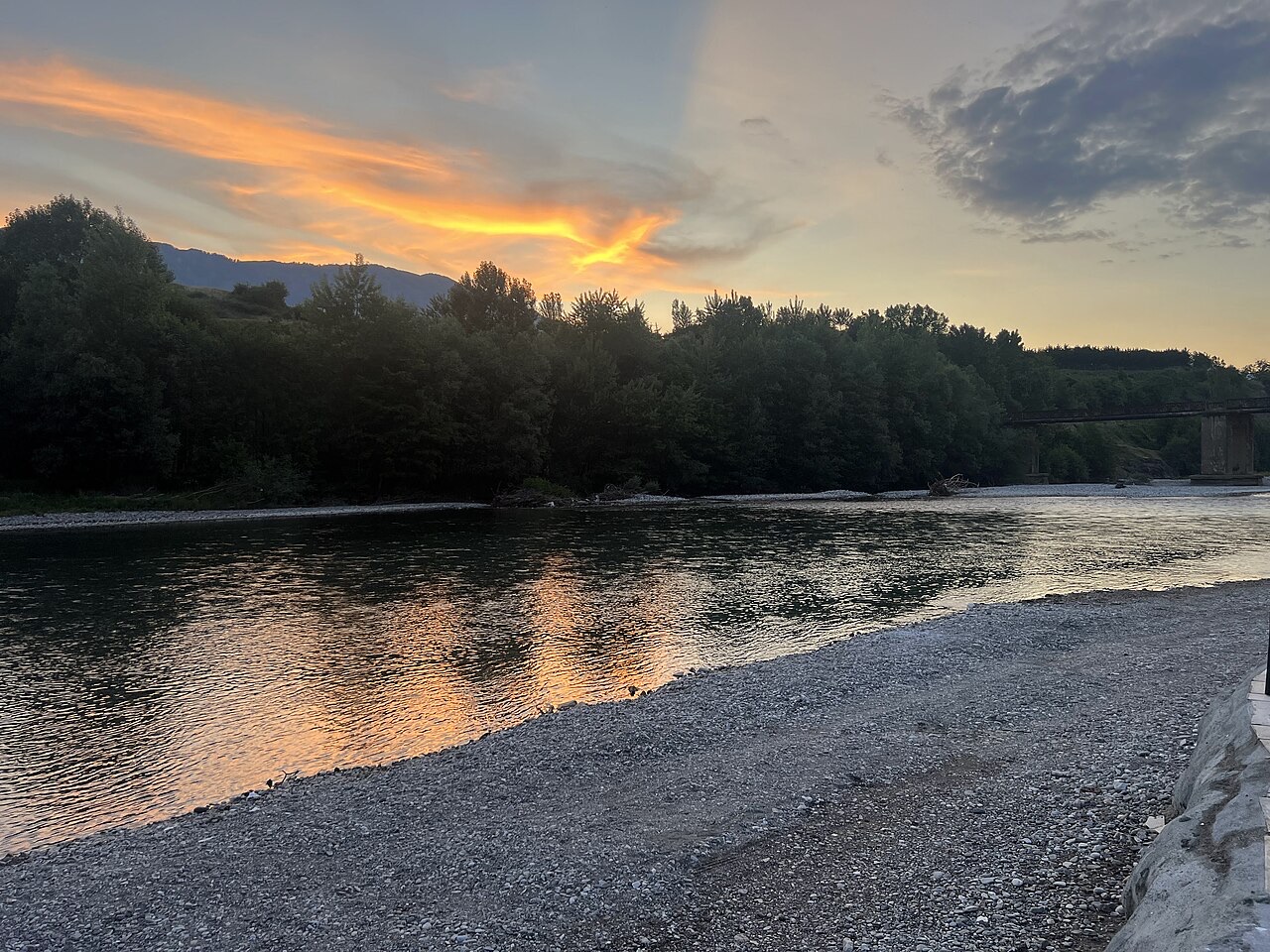
The Drin is the longest river in Albania. Three big dams on it make most of the country's electricity, and the reservoirs behind them — Fierza, Koman and Vau i Dejës — look like long lakes in the mountains.
The Drin is the longest river in Albania. Three big dams on it make most of the country's electricity, and the reservoirs behind them — Fierza, Koman and Vau i Dejës — look like long lakes in the mountains.
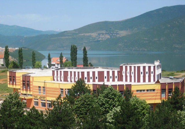
城市 · Shkodër
The cultural capital of the north: a lake, a fortress, a bicycle city and a Catholic heartland.
能源设施 · Kukës
The uppermost and largest of the Drin dams, creating a reservoir shared with Kosovo.
城镇 · Kukës
A town rebuilt above a reservoir in the 1970s, and the northern end of the Nation's Road.
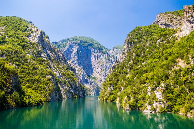
湖泊 · Shkodër
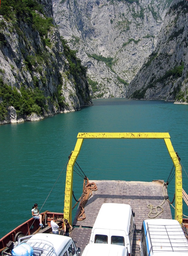
A 34 km reservoir in a gorge so narrow the ferry crossing is treated as a scenic journey in its own right.
工业
Electricity almost entirely from hydropower — which makes supply depend on rainfall.
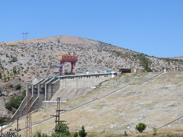
能源设施 · Shkodër
The lowest station of the Drin cascade, just upstream of Shkodër.
公司 · Tiranë
The state generator that runs the Drin cascade and supplies most Albanian electricity.
能源设施 · Shkodër
The middle station of the Drin cascade, and the dam that created Lake Koman.
渡轮航线 · Shkodër
A working transport link through a gorge that has become one of Albania's best-known journeys.
本页内容有误? 欢迎提交更正意见,所有意见均会与原始记录核对。请告知错误所在,如能提供正确数据的出处,请一并注明。