Ville · Shkodër
Shkodër
The cultural capital of the north: a lake, a fortress, a bicycle city and a Catholic heartland.
Chaque comté, chaque côte, chaque siècle
Vue guidée
Nouveau en Albanie ? Chaque page s'ouvre sur une explication en langage clair, accessible à un enfant de dix ans, avant d'entrer dans le détail.
Vue expert
Vous connaissez déjà les bases. Directement à l'essentiel, les explications simples étant masquées. Il s'agit du réglage par défaut.
Fleuve/Rivière · Shkodër County
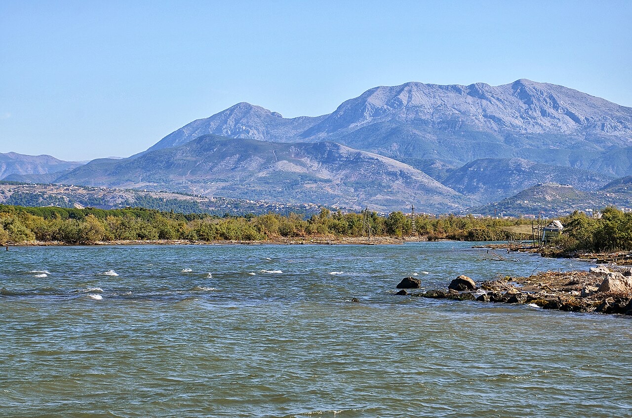
Albania's longest river and the backbone of its electricity system, dammed three times in the north.
Enregistrer
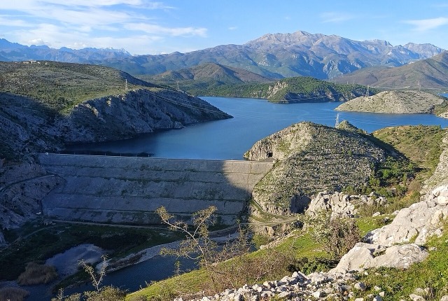
The Drin is the longest river in Albania. Three big dams on it make most of the country's electricity, and the reservoirs behind them — Fierza, Koman and Vau i Dejës — look like long lakes in the mountains.
The Drin is the longest river in Albania. Three big dams on it make most of the country's electricity, and the reservoirs behind them — Fierza, Koman and Vau i Dejës — look like long lakes in the mountains.
Ville · Shkodër
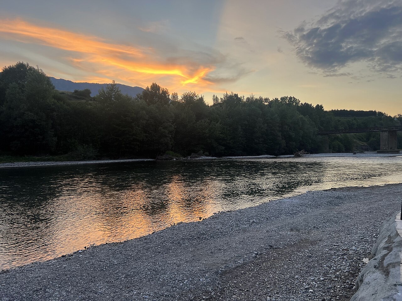
The cultural capital of the north: a lake, a fortress, a bicycle city and a Catholic heartland.
Site énergétique · Kukës
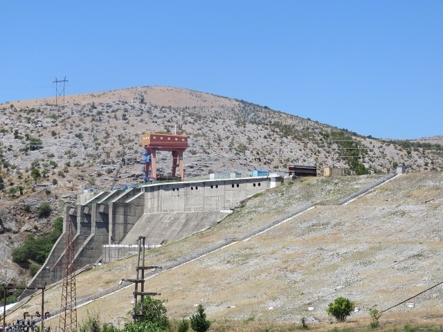
The uppermost and largest of the Drin dams, creating a reservoir shared with Kosovo.
Bourg · Kukës
A town rebuilt above a reservoir in the 1970s, and the northern end of the Nation's Road.
Lac · Shkodër
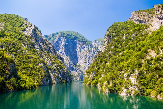
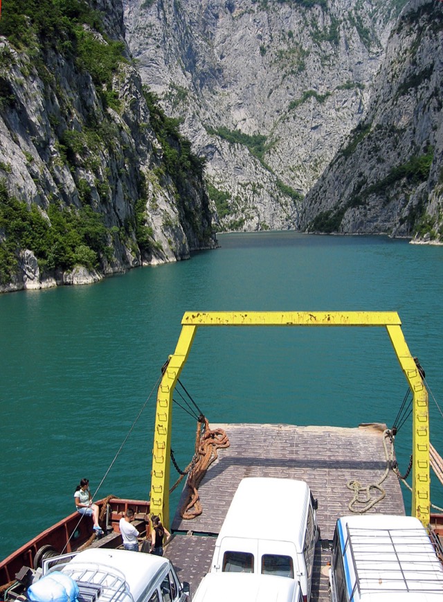
A 34 km reservoir in a gorge so narrow the ferry crossing is treated as a scenic journey in its own right.
Industrie
Electricity almost entirely from hydropower — which makes supply depend on rainfall.
Site énergétique · Shkodër
The lowest station of the Drin cascade, just upstream of Shkodër.
Entreprise · Tiranë
The state generator that runs the Drin cascade and supplies most Albanian electricity.
Site énergétique · Shkodër
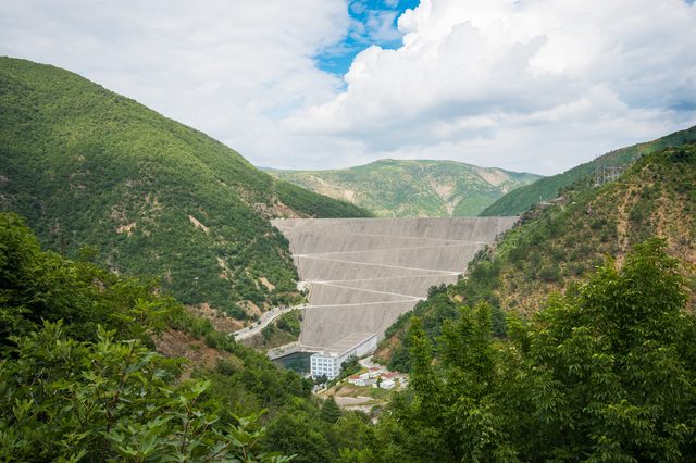
The middle station of the Drin cascade, and the dam that created Lake Koman.
Liaison maritime · Shkodër
A working transport link through a gorge that has become one of Albania's best-known journeys.
Une erreur sur cette page ? Les corrections sont les bienvenues et sont vérifiées par rapport au document source. Indiquer ce qui est erroné et, si possible, d'où provient le chiffre correct.