Ciudad · Shkodër
Shkodër
The cultural capital of the north: a lake, a fortress, a bicycle city and a Catholic heartland.
Cada condado, cada costa, cada siglo
Vista guiada
¿Nuevo en Albania? Cada página comienza con una explicación en lenguaje sencillo que cualquiera podría entender, antes de entrar en los detalles.
Vista experta
Ya conoces los fundamentos. Directo al contenido, con las explicaciones básicas ocultas. Esta es la vista predeterminada.
Río · Shkodër County
Albania's longest river and the backbone of its electricity system, dammed three times in the north.
Guardar
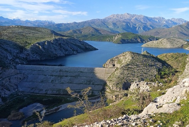
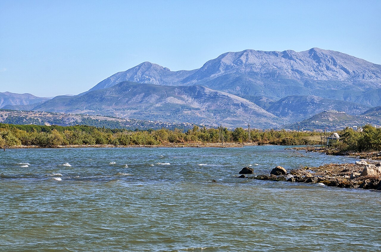
The Drin is the longest river in Albania. Three big dams on it make most of the country's electricity, and the reservoirs behind them — Fierza, Koman and Vau i Dejës — look like long lakes in the mountains.
The Drin is the longest river in Albania. Three big dams on it make most of the country's electricity, and the reservoirs behind them — Fierza, Koman and Vau i Dejës — look like long lakes in the mountains.
Ciudad · Shkodër
The cultural capital of the north: a lake, a fortress, a bicycle city and a Catholic heartland.
Instalación energética · Kukës
The uppermost and largest of the Drin dams, creating a reservoir shared with Kosovo.
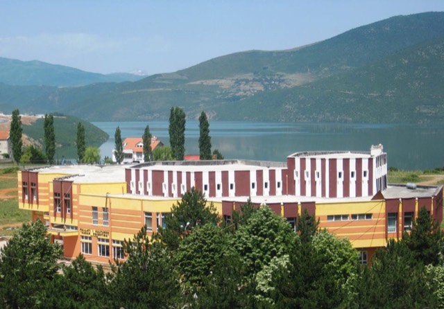
Localidad · Kukës
A town rebuilt above a reservoir in the 1970s, and the northern end of the Nation's Road.
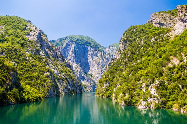
Lago · Shkodër
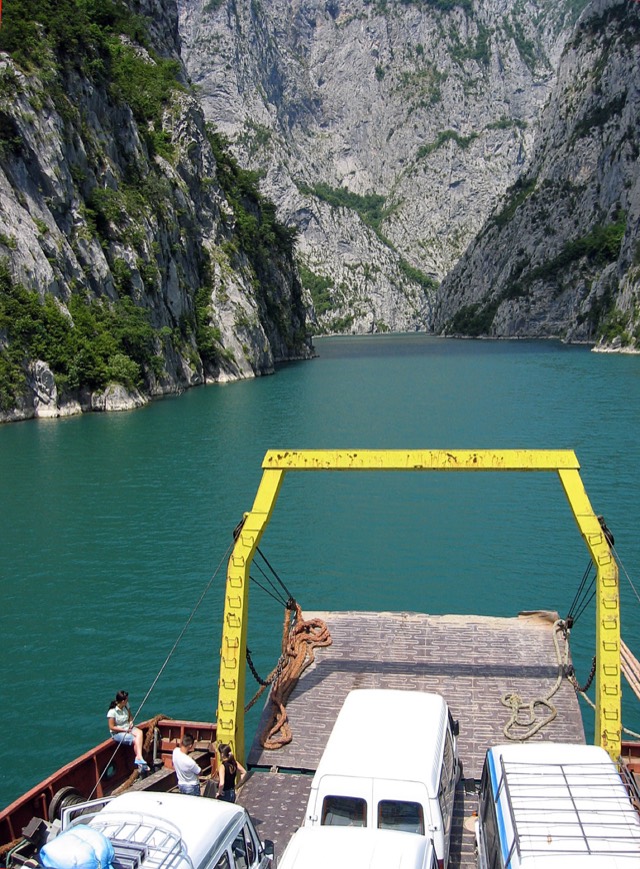
A 34 km reservoir in a gorge so narrow the ferry crossing is treated as a scenic journey in its own right.
Industria
Electricity almost entirely from hydropower — which makes supply depend on rainfall.
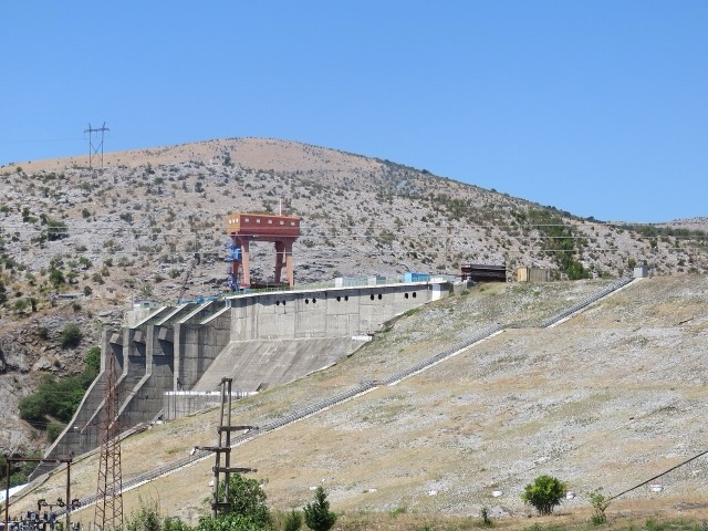
Instalación energética · Shkodër
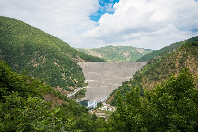
The lowest station of the Drin cascade, just upstream of Shkodër.
Empresa · Tiranë
The state generator that runs the Drin cascade and supplies most Albanian electricity.
Instalación energética · Shkodër
The middle station of the Drin cascade, and the dam that created Lake Koman.
Ruta de ferry · Shkodër
A working transport link through a gorge that has become one of Albania's best-known journeys.
¿Algo incorrecto en esta página? Las correcciones son bienvenidas y se contrastan con el registro fuente. Indíquenos qué es incorrecto y, si puede, de dónde procede el dato correcto.