Thành phố · Vlorë
Vlorë
Where the Adriatic meets the Ionian, and where Albanian independence was declared in 1912.
Mọi hạt, mọi bờ biển, mọi thế kỷ
Chế độ hướng dẫn
Mới tìm hiểu về Albania? Mỗi trang mở đầu bằng một giải thích ngôn ngữ đơn giản mà bạn có thể đọc cho một đứa trẻ mười tuổi, trước khi đi vào chi tiết.
Chế độ chuyên gia
Bạn đã nắm được những điều cơ bản. Đi thẳng vào nội dung, với các giải thích đơn giản được ẩn đi. Đây là chế độ mặc định.
Dãy núi · Vlorë County
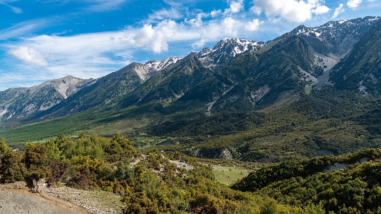
The coastal ridge that makes the Riviera: 2,000 m peaks rising directly out of the Ionian.
Lưu
The Ceraunian Mountains run right along the southern coast. They are so steep that the Riviera's villages had to be built on their slopes. Ancient sailors named them after thunder, because of the storms around their peaks.
The Ceraunian Mountains run right along the southern coast. They are so steep that the Riviera's villages had to be built on their slopes. Ancient sailors named them after thunder, because of the storms around their peaks.
The Ceraunian Mountains take their name from the Ancient Greek Κεραύνια ὄρη (Keraunia ore), meaning 'thunder-split peaks'. The western portion of the chain was separately designated Ἀκροκεραύνια (Akrokeraunia), meaning 'Cape Thunder', referring to the promontory now known as the Karaburun Peninsula. Both names reflect the dangerous weather and navigational hazards that ancient seafarers and travellers encountered there.
In Latin the range was recorded as Ceraunii montes or Acroceraunii montes. The Albanian native name, Malet e Vetëtimës, translates as 'Thunderbolt Mountains', preserving the same meteorological meaning. The form Malet Akrokeraune retains the ancient Greek root. In Modern Greek the name is Κεραύνια Όρη (Keraunia Ori). The Acroceraunian promontory, located on the western side of the Bay of Vlorë (ancient Aulon), corresponds to the modern Karaburun Peninsula, also known as Cape Linguetta.
The Ceraunian Mountains form a coastal range in southwestern Albania, entirely within Vlorë County. The range rises on the northeastern bank of the Ionian Sea and protrudes into the Adriatic Sea, running approximately 100 km (62 mi) in a southeast-to-northwest direction near Sarandë, along the Albanian Riviera, and close to Orikum.
The Karaburun Peninsula is geologically part of the Ceraunian Mountains but is separated from the main body of the range by the Llogara Pass, which sits at 1,027 metres (3,369 ft). The peninsula forms the western section of the range, designated the Acroceraunian Mountains. That western portion is approximately 24 km (15 mi) long and between 4 and 7 km (2.5 to 4.3 mi) wide. The highest point in the entire range is the peak of Çikë, at 2,044 metres (6,706 ft).
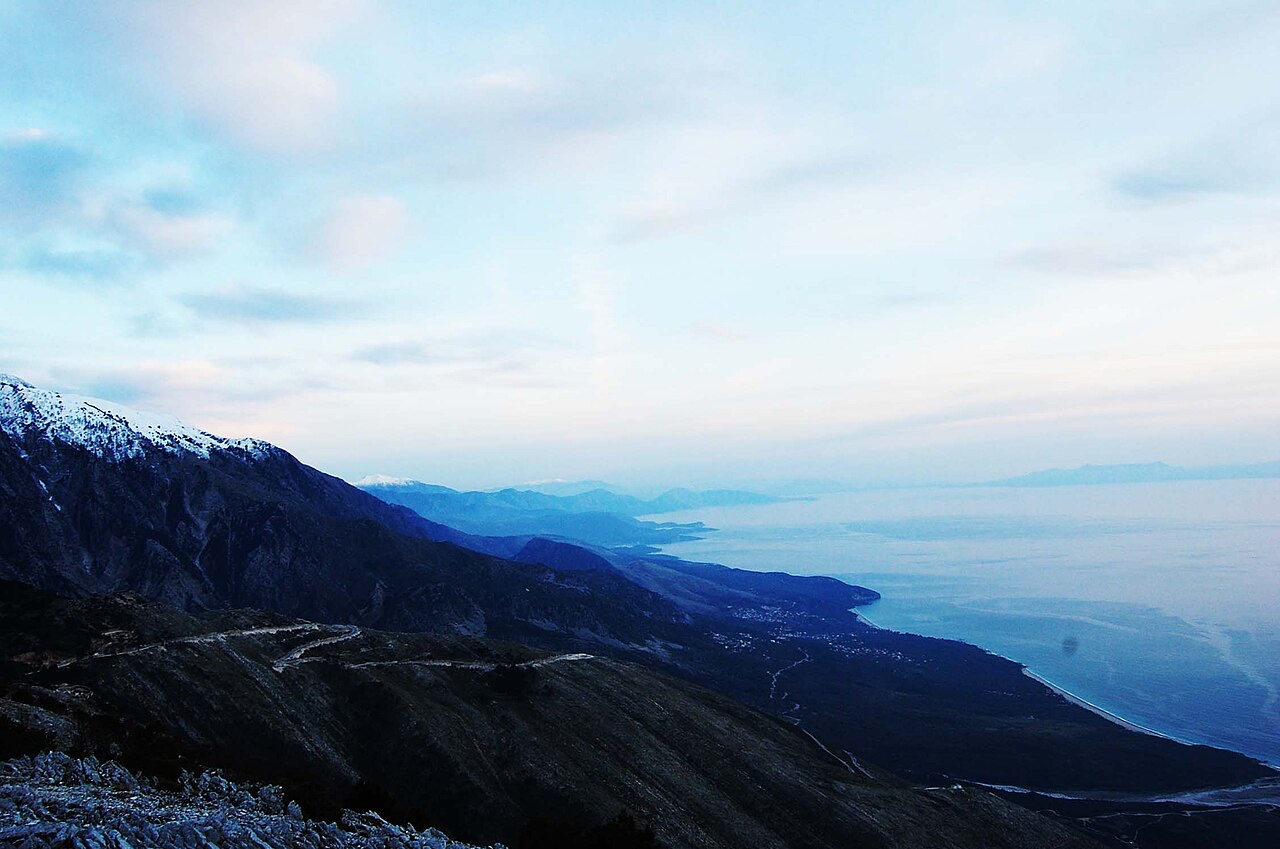
The two dominant peaks of the range are Çikë, at 2,045 m (6,709 ft), and Qorre, at 2,018 m (6,621 ft). These form the roughest and most rugged section of southwestern Albania's relief, a character attributed to their position within the Ionian and Sazan tectonic zones.
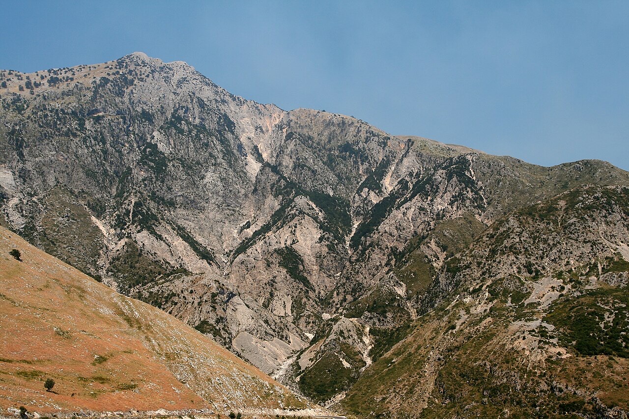
The mountain range is cut by dry streams and deep abysses. Vegetation is sparse overall. Pine trees dominate the lower elevations up to roughly 600–800 m, while conifers — including black pine, spruce, and hemlock — cover the upper zones. The Akrokeraunian peninsula contained the most important stone quarries in Illyria. Much of the quality limestone used in the construction of temples and monuments at Apollonia was sourced from there, possibly following the conquest of Thronion around 450 BC.
In classical antiquity the Ceraunian Mountains functioned as a natural border between the historical and geographical regions of Illyria and Epirus. Illyrian populations occupied territory to the north of the range, while the Epirotes — specifically the Chaonians — lived to the south.
During the Hellenistic period, Çikë marked the southern boundary of the territory of Oricum. The peak also separated Oricum's territory from that of the Amantes tribe to the east. The Amantes constructed the fortified settlement of Cerje beyond the Shëngjergji Pass during this period.
Ancient Greek mythology connected the Ceraunian Mountains with at least two traditions. The mythological figure Geryones was said to have guarded his cattle in these mountains.
According to another tradition, the Abantes from Euboea — who had previously joined the Greek army in the Trojan War — settled in the Ceraunian Mountains after the conflict. They were subsequently expelled by forces from Apollonia.
Zeus, the central deity of the Greek pantheon, was associated with the Ceraunian Mountains in his capacity as Zeus Chaonius. This cult was particularly prominent among the Chaonians but extended across the rest of northern Greece as well. The association between the thunder-named mountains and the thunder-wielding Zeus reflects a broader pattern of linking dramatic topography with divine power in ancient Greek religious thought.
During the 15th and 16th centuries, the region of Himara, within or adjacent to the Ceraunian Mountains, became associated with a notably warlike local community. The article records this emergence without elaborating on its specific political or military context. This period coincides broadly with the Ottoman conquest and consolidation of Albania, though the article does not directly connect these events.
The Llogara Pass, at an elevation of 1,027 metres (3,369 ft), is the physical division that separates the Karaburun Peninsula from the main body of the Ceraunian range. Geologically the peninsula belongs to the same range, but this pass marks the boundary between the two sections.
The peninsula constitutes what is historically and geographically designated the Acroceraunian Mountains — the westernmost extension of the range — and corresponds to the promontory that ancient sources called the Acroceraunian cape, situated on the western side of the Bay of Vlorë. The peninsula is also known as Cape Linguetta.
Tháng nóng nhất là August (nhiệt độ cao trung bình ngày 18°C), tháng lạnh nhất là January (nhiệt độ thấp trung bình ngày -7°C), và tháng mưa nhiều nhất là November (245 mm). Tổng lượng mưa hàng năm trung bình 1,608 mm. Nhiệt độ nước biển đạt đỉnh vào tháng Tám ở khoảng 26°C.
| Tháng | Cao | Thấp | Mưa | Ngày mưa | Nắng/ngày | Biển |
|---|---|---|---|---|---|---|
| January | -0°C | -7°C | 185 mm | 13 | 7.1 h | 17°C |
| February | 1°C | -6°C | 158 mm | 12 | 8.0 h | 15°C |
| March | 3°C | -5°C | 150 mm | 13 | 9.5 h | 15°C |
| April | 6°C | -2°C | 118 mm | 14 | 10.8 h | 16°C |
| May | 11°C | 3°C | 93 mm | 12 | 12.1 h | 18°C |
| June | 15°C | 6°C | 61 mm | 9 | 13.6 h | 23°C |
| July | 18°C | 9°C | 30 mm | 6 | 13.8 h | 25°C |
| August | 18°C | 9°C | 38 mm | 6 | 12.9 h | 26°C |
| September | 14°C | 6°C | 135 mm | 11 | 10.7 h | 26°C |
| October | 10°C | 2°C | 166 mm | 10 | 9.2 h | 25°C |
| November | 5°C | -2°C | 245 mm | 14 | 7.2 h | 21°C |
| December | 1°C | -5°C | 229 mm | 14 | 6.6 h | 18°C |
Nguồn: ERA5 reanalysis via Open-Meteo, 1994–2023 · "Cao" và "Thấp" là nhiệt độ không khí tối đa và tối thiểu trung bình ngày. "Ngày mưa" tính những ngày có lượng mưa ít nhất 1 mm.
Thành phố · Vlorë
Where the Adriatic meets the Ionian, and where Albanian independence was declared in 1912.
Thị trấn · Vlorë
The centre of the Riviera coast: a Greek-speaking historical community, an old hill village and a string of coves.
Khu vực được bảo vệ · Vlorë
A pine-forested pass at 1,027 m where the road drops from mountain forest to the Ionian in a few kilometres.
Làng · Vlorë
An old white village on the slope above one of the Riviera's longest pebble beaches.
Chủ đề · Vlorë
The 120 km of Ionian coast between the Llogara pass and Sarandë, where the Ceraunian mountains fall straight into the sea.
Núi · Vlorë
The 2,045 m high point of the Ceraunian ridge, directly above the Riviera coast.
Có thông tin sai trên trang này? Chúng tôi hoan nghênh các đề nghị đính chính và sẽ đối chiếu với hồ sơ nguồn. Hãy cho chúng tôi biết điều gì sai và, nếu có thể, nguồn số liệu chính xác là ở đâu.