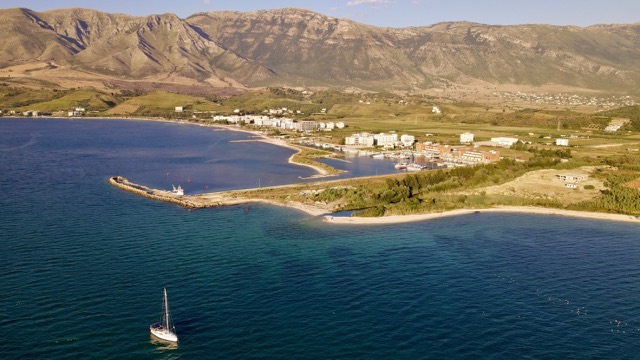
Город
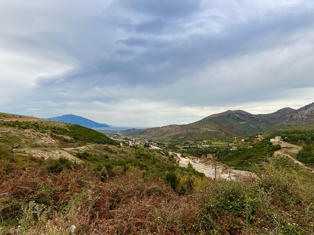
Vlorë
Where the Adriatic meets the Ionian, and where Albanian independence was declared in 1912.
🧭 Режим с пояснениями
Впервые об Албании? Каждая страница начинается с доступного объяснения, понятного даже десятилетнему ребёнку, и лишь затем переходит к подробностям.
⚡ Режим эксперта
Основы вам уже известны. Сразу к существу вопроса, без простых пояснений. Это режим по умолчанию.
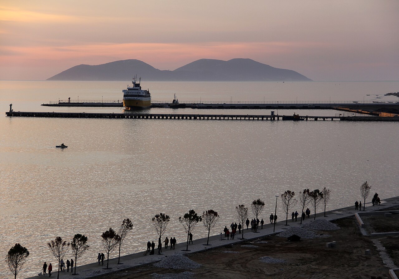
Vlorë has a port used by ferries to Italy and by fishing boats. The city has also been building a marina for yachts.
Vlorë has a port used by ferries to Italy and by fishing boats. The city has also been building a marina for yachts.
The Port of Vlorë (Albanian: Porti i Vlorës) is located in the city of Vlorë on Albania's Adriatic and Ionian coastline. By size it ranks as the second largest port in Albania, after the Port of Durrës.
The port complex is not a single facility but a grouping of distinct operational areas: a dry cargo port, a petroleum terminal known as Vlore 1, and a fishing harbour. Each component serves a different sector of the port's traffic.
The fishing harbour of Vlorë — formally the Vlora Fishing Harbor (Albanian: Porti i peshkimit Vlorë) — is situated in the city of Skel, close to Vlorë rather than within the city itself.
This fishing port has been assigned a transitional administrative function beyond its primary role: it is designated as the temporary location for the relocated passenger terminal and cargo area of the Port of Vlorë while construction of the Vlora Marina proceeds on the site of the existing passenger terminal.
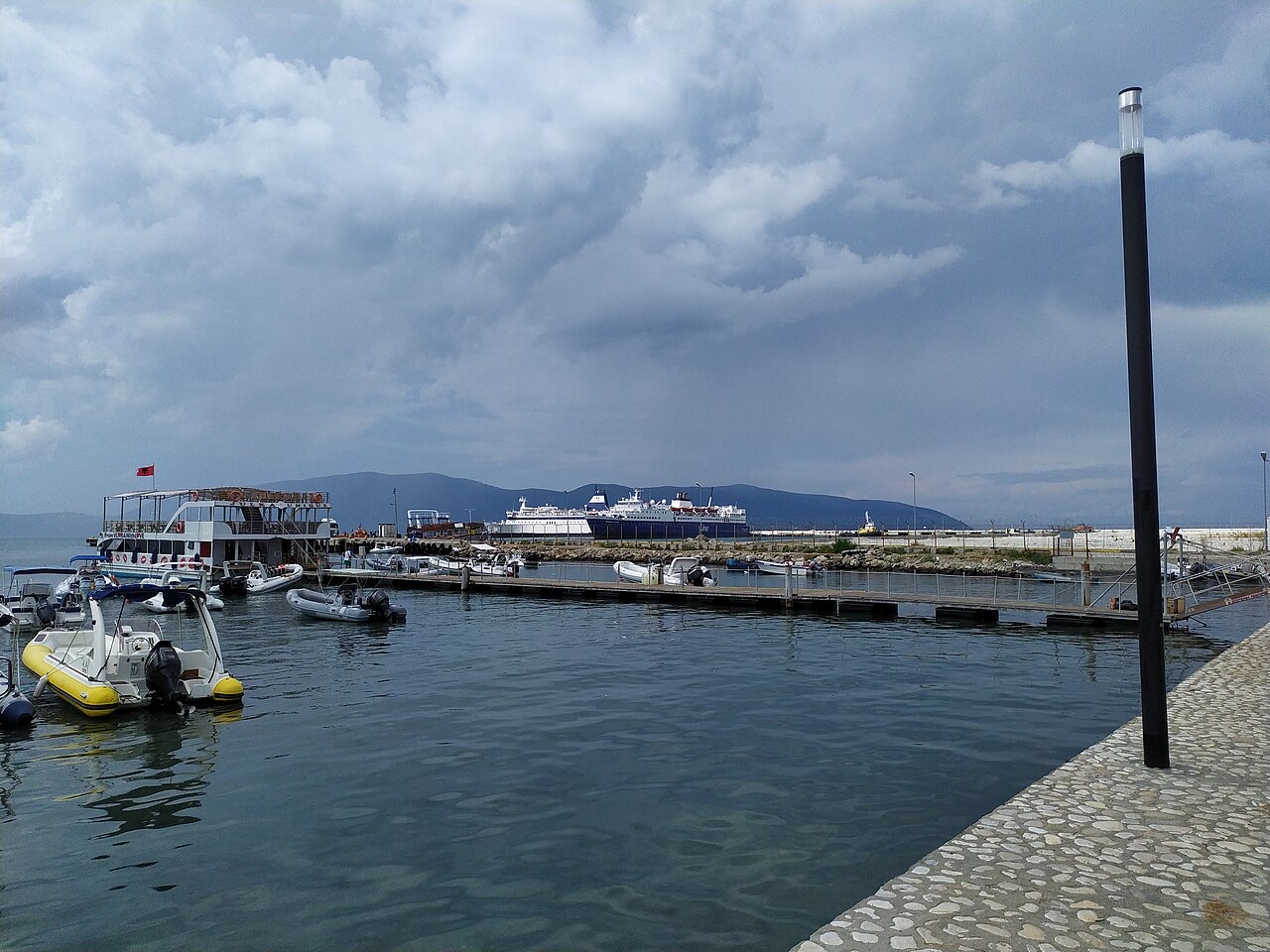
The Port of Vlorë is formally incorporated into a broader urban planning framework called the Lungomare Master Plan for Vlorë. The plan envisions a restructuring of the waterfront that integrates the port with public and commercial infrastructure across the city's seafront zone.
Among the components of the Master Plan is the construction of a yacht port. A road element — the Trans-Balkan Road, also referred to as the Cultural Corridor — has already been completed as one segment of the plan. A second segment of that road, extending from the existing road to the port, was planned to be added, though the article does not specify a completion date for this second segment.
In 2021, a joint venture company formed by UK and Albanian partners won a concession tender for the construction of the Vlora Marina. The concession covers the grounds currently occupied by the passenger terminal area of the Port of Vlorë.
The marina project, described in the source as a luxury development, comprises several distinct elements: docking areas for yachts, residential and hotel complex towers, and commercial areas including bars and restaurants. The article does not specify the financial value of the concession, the names of the joint venture partners, or a projected completion date.
The Port of Vlorë includes a dedicated petroleum terminal designated Vlore 1. It is listed as one of the three main operational components of the port alongside the dry cargo port and the fishing harbour.
The article does not provide throughput figures, storage capacity, or details about the origin or destination of petroleum shipments handled at Vlore 1, and those details should not be assumed from other sources.
Road access to the port is linked to the Trans-Balkan Road, which is also described in the source as the Cultural Corridor. The first segment of this road has been completed. A second segment, running from the existing road to the port itself, was identified as a planned addition under the Lungomare Master Plan framework.
The article does not provide the total length of either segment, the funding arrangement, or the authority responsible for construction. The relationship between the road and the marina concession suggests the infrastructure projects are coordinated, but the article does not state this explicitly.
Тридцатилетние нормы для Port of Vlorë, рассчитаны для данного Атласа по суточным данным реанализа ERA5 за 1994–2023 годы. Это многолетние средние значения, а не прогноз: в отдельные годы показатели могут существенно отличаться.
Самый тёплый месяц — August (средний дневной максимум 32°C), самый холодный — January (средний ночной минимум 5°C), самый дождливый — November (142 mm). Среднегодовое количество осадков составляет 1,037 mm. Температура морской воды достигает максимума в августе — около 25°C.
| Месяц | Макс. | Мин. | Осадки | Дождливых дней | Солнце/день | Море |
|---|---|---|---|---|---|---|
| January | 12°C | 5°C | 103 mm | 12 | 7.4 h | 16°C |
| February | 13°C | 6°C | 98 mm | 11 | 8.3 h | 15°C |
| March | 16°C | 7°C | 97 mm | 11 | 9.8 h | 15°C |
| April | 19°C | 10°C | 82 mm | 11 | 11.0 h | 16°C |
| May | 24°C | 15°C | 63 mm | 8 | 12.2 h | 19°C |
| June | 28°C | 19°C | 41 mm | 6 | 13.6 h | 22°C |
| July | 32°C | 22°C | 26 mm | 5 | 13.8 h | 24°C |
| August | 32°C | 22°C | 30 mm | 5 | 12.9 h | 25°C |
| September | 27°C | 18°C | 101 mm | 9 | 10.8 h | 25°C |
| October | 22°C | 14°C | 123 mm | 9 | 9.3 h | 24°C |
| November | 18°C | 11°C | 142 mm | 12 | 7.4 h | 20°C |
| December | 14°C | 7°C | 131 mm | 13 | 6.8 h | 18°C |
Источник: ERA5 reanalysis via Open-Meteo, 1994–2023 · «Макс.» и «Мин.» — средние суточные максимум и минимум температуры воздуха. «Дождливых дней» — число дней с количеством осадков не менее 1 мм. Получить в формате JSON
Это реальные связи в Атласе — места, расположенные рядом с данным, и темы, к которым оно действительно относится. Здесь нет универсальных рекомендаций.
Where the Adriatic meets the Ionian, and where Albanian independence was declared in 1912.
A marina town at the foot of Llogara, beside the ancient harbour of Oricum.
The shortest Albania–Italy crossing, but the least consistently operated.
Where the Adriatic meets the Ionian, and where Albanian independence was declared in 1912.
The shortest Albania–Italy crossing, but the least consistently operated.
Разделы с пометкой «подробный разбор» выше написаны для данного Атласа на основе указанной ниже статьи-источника, прочитанной полностью (1,376 символов). Они представляют собой исследование с использованием ИИ по данному документу, проверенное по отобранным фактам на этой странице. Проверяйте любые существенные сведения по первоисточнику.
Нашли ошибку на этой странице? Исправления приветствуются и проверяются по исходной записи. Сообщите нам, что именно неверно, и по возможности укажите, откуда взята правильная цифра.