Localidad · Lezhë
Lezhë
Where the Albanian princes swore their 1444 league, and where Skanderbeg is buried.
Cada condado, cada costa, cada siglo
Vista guiada
¿Nuevo en Albania? Cada página comienza con una explicación en lenguaje sencillo que cualquiera podría entender, antes de entrar en los detalles.
Vista experta
Ya conoces los fundamentos. Directo al contenido, con las explicaciones básicas ocultas. Esta es la vista predeterminada.
Puerto · Lezhë County
A small northern cargo port beside the resort beach.
Guardar
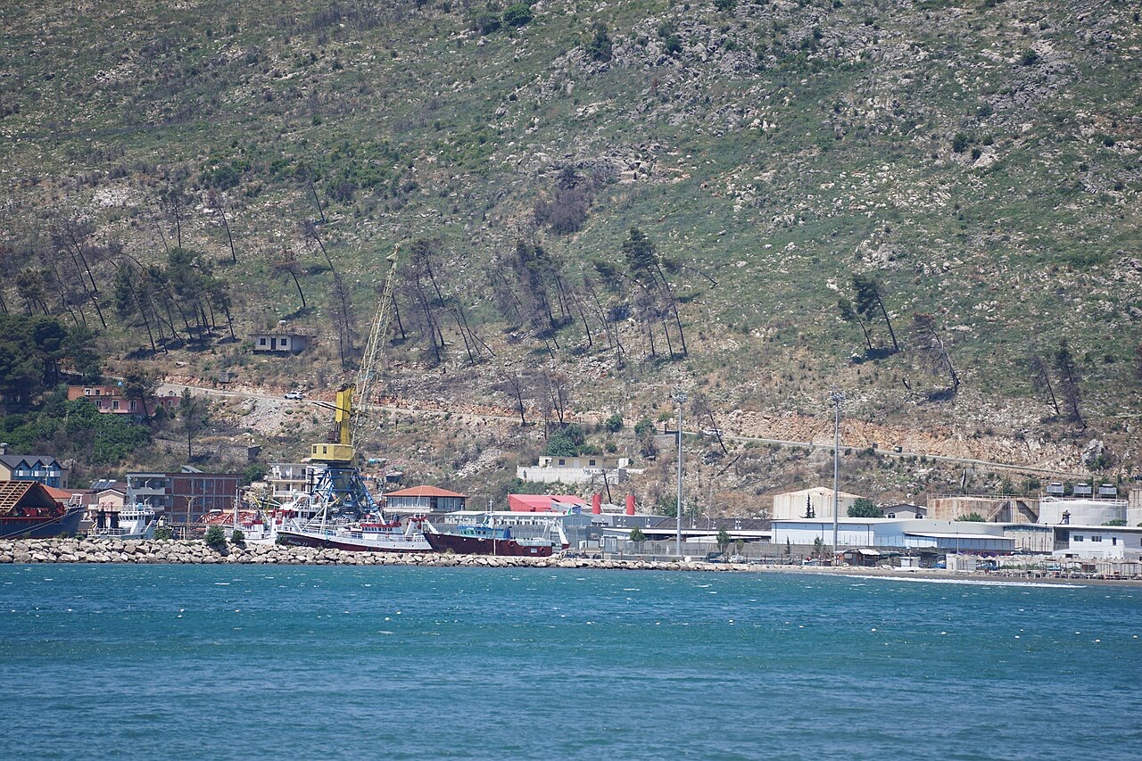
Shëngjin has a small port for cargo ships, next to the town's beach.
Shëngjin has a small port for cargo ships, next to the town's beach.
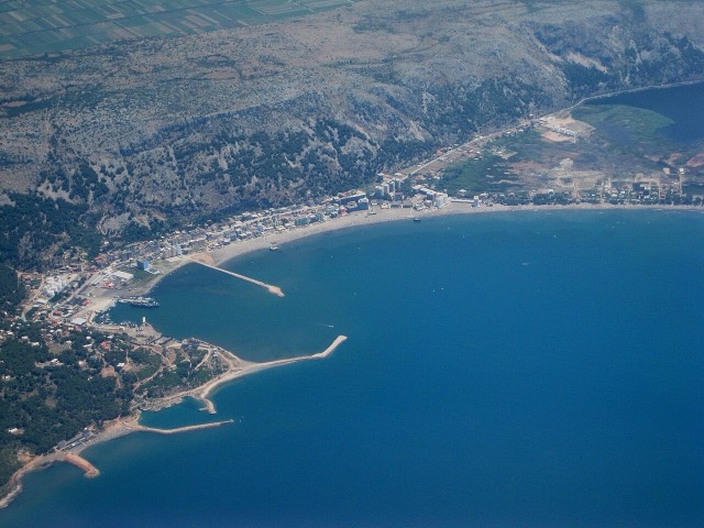
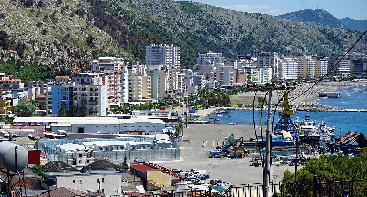
The Port of Shëngjin, also referred to as Shëngjin Harbor, is the northernmost seaport in Albania. It sits on the northwestern part of the town of Shëngjin, in Lezhë County, northwestern Albania. The town itself lies approximately 100 metres from the Adriatic Sea, below a mountainside called Rrenci, which rises to approximately 159 metres. The port is approximately 60 kilometres from Tirana's Mother Teresa International Airport.
The harbor's access point is on the northwest side of the town. The port infrastructure includes lengthy rock walls that extend into the sea, providing protection for vessels using the facility. Shëngjin is described in the article as having Albania's third largest port, and the surrounding coastline extends to approximately 3 kilometres of beach front.
The area around Shëngjin has been identified with the ancient harbour of Nymphaeum, situated on the coast of Illyria approximately three miles north of Lissus. This association places human use of the site as a port within a long historical continuum. For over a thousand years, the coastline served as the principal maritime outlet for the interior city of Scutari (modern Shkodër).
During the period of Venetian-Ottoman conflict, Shëngjin was repeatedly occupied or attacked by Venetian forces prosecuting their wars against the Ottoman Turks. Before the First World War, Austria-Hungary maintained a consulate in the town to serve its commercial interests in the region, indicating its continued role as a point of contact between the Albanian coast and European powers.
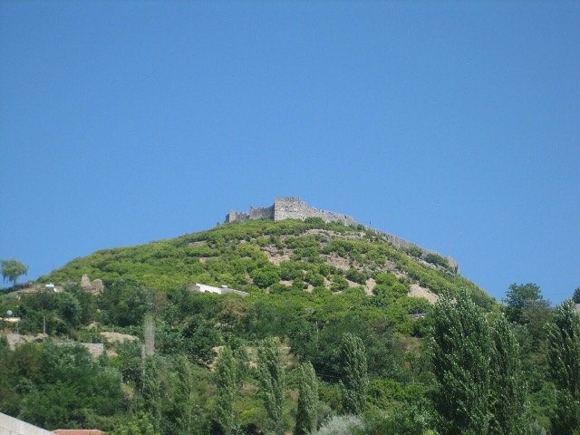
During the Ottoman period the town was known as Şingin. It remained loyal to the Ottomans during the Albanian revolt of 1911, partly because Turkish soldiers were garrisoned in the nearby fortress of Scutari. In November 1912, Serbian and Montenegrin armies captured Shëngjin as part of their siege of Scutari. Montenegro subsequently claimed the town, but both armies were compelled to withdraw by the Great Powers.
Serbia reoccupied Shëngjin in the summer of 1915 and held it until Austro-Hungarian forces drove them out in January 1916. Austria-Hungary in turn evacuated in November 1918, after which Italian troops replaced them for several months while the frontier with the newly established Yugoslav state was being determined. This sequence of occupations reflects the town's strategic value as a coastal entry point to the region.
In 1924 the Albanian government renamed Shëngjin as Port Wilson, in honour of United States President Woodrow Wilson. The renaming acknowledged Wilson's support for Albanian independence in 1919, when proposals for partitioning Albania were circulating among the Great Powers and Wilson reportedly opposed them strongly.
In April 1939 Italian forces landed at Shëngjin as part of their operation to occupy Scutari and northern Albania. During the Second World War the town's name was officially changed to San Giovanni di Medua, reviving an older Italian designation. After the war ended, the name reverted to Shëngjin.
The Port of Shëngjin is regularly accessed by cargo and fishing vessels and forms the principal industrial foundation of the local economy alongside tourism. As the northernmost seaport in Albania and the country's third largest port, it occupies a significant position in Albania's coastal freight and fishing infrastructure.
The port's protective rock walls extending into the Adriatic are a key physical feature of the facility. The broader town economy divides between seaport activity and tourism, with the latter growing in prominence in recent decades as Shëngjin has attracted visitors to its beaches and the protected natural area of Kunë-Vain-Tale Nature Park to the south.
In early November 2023, Italian Prime Minister Giorgia Meloni and Albanian Prime Minister Edi Rama signed a migration agreement under which Italy and Albania agreed to establish reception centres for asylum seekers in Shëngjin. The centres are operated under Italian law and staffed by Italian personnel, with asylum applications processed on site. They are described in the article as the first reception centres for migrants outside the European Union to be run by an EU member state.
The arrangement has faced legal challenges: Italian courts repeatedly ordered the temporary repatriation of migrants who had been transferred to Albania. By October 2025, only 256 individuals had been detained at the centres, and in most cases judicial rulings resulted in their return to Italy.
El mes más cálido es August (máxima diaria media 30°C), el más frío es January (mínima diaria media 2°C), y el más lluvioso es November (255 mm). La precipitación anual total promedia 1,812 mm. La temperatura del mar alcanza su máximo en agosto, en torno a 25°C.
| Mes | Máx. | Mín. | Lluvia | Días de lluvia | Sol/día | Mar |
|---|---|---|---|---|---|---|
| January | 10°C | 2°C | 193 mm | 12 | 6.7 h | 14°C |
| February | 11°C | 3°C | 169 mm | 12 | 7.7 h | 12°C |
| March | 14°C | 5°C | 163 mm | 11 | 9.3 h | 14°C |
| April | 18°C | 9°C | 146 mm | 12 | 10.5 h | 15°C |
| May | 22°C | 14°C | 114 mm | 10 | 12.1 h | 19°C |
| June | 26°C | 18°C | 61 mm | 6 | 13.5 h | 23°C |
| July | 29°C | 21°C | 38 mm | 4 | 13.7 h | 26°C |
| August | 30°C | 21°C | 55 mm | 4 | 12.8 h | 25°C |
| September | 25°C | 17°C | 194 mm | 8 | 10.6 h | 24°C |
| October | 20°C | 12°C | 193 mm | 10 | 8.9 h | 22°C |
| November | 16°C | 8°C | 255 mm | 13 | 6.9 h | 19°C |
| December | 11°C | 4°C | 232 mm | 14 | 6.3 h | 16°C |
Fuente: ERA5 reanalysis via Open-Meteo, 1994–2023 · «Máx.» y «Mín.» son la temperatura del aire máxima y mínima diaria media. «Días de lluvia» cuenta los días con al menos 1 mm de precipitación.
¿Algo incorrecto en esta página? Las correcciones son bienvenidas y se contrastan con el registro fuente. Indíquenos qué es incorrecto y, si puede, de dónde procede el dato correcto.