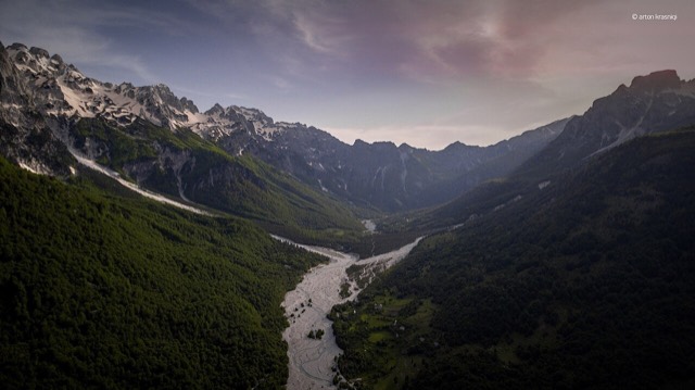
保护区 · Kukës
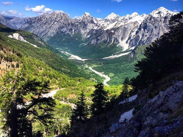
Valbona Valley National Park
A broad U-shaped glacial valley of white gravel and beech forest under the Alps' highest peaks.
每个县、每段海岸、每个世纪
引导视图
初次了解阿尔巴尼亚?每个页面均以通俗易懂的说明开篇——即便是十岁的孩子也能读懂——随后再展开详细内容。
专业视图
您已掌握基础知识。直接进入正题,简明解释默认隐藏。此为默认模式。
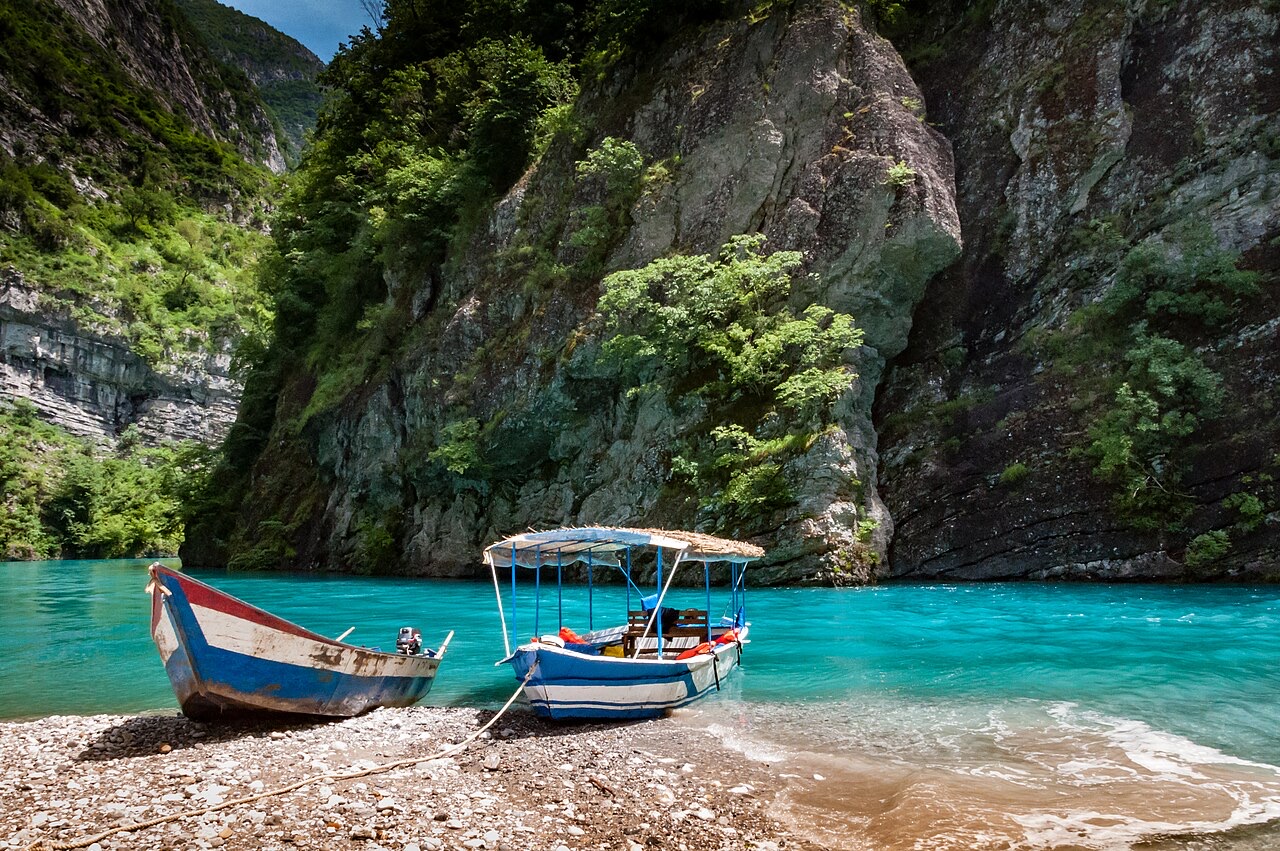
地点
保护区 · Kukës
A broad U-shaped glacial valley of white gravel and beech forest under the Alps' highest peaks.
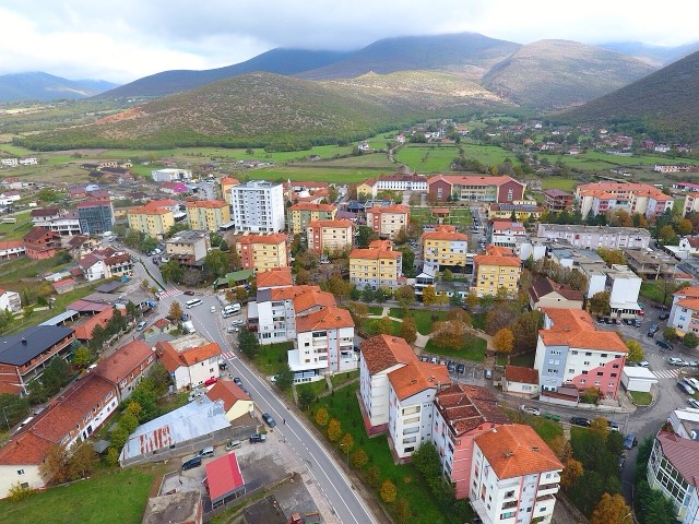
城镇 · Kukës
The road head for the Valbona valley, named after a guerrilla leader of the 1920s.
城镇 · Kukës
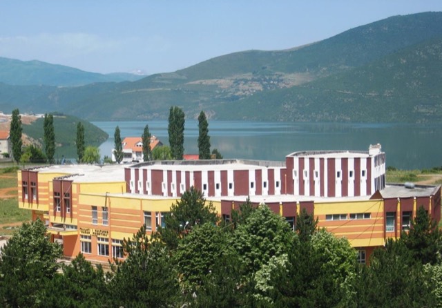
A town rebuilt above a reservoir in the 1970s, and the northern end of the Nation's Road.