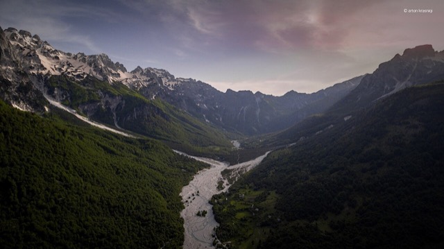
保護区域 · Kukës
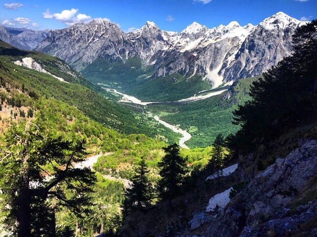
Valbona Valley National Park
A broad U-shaped glacial valley of white gravel and beech forest under the Alps' highest peaks.
すべての県、すべての海岸、すべての世紀
ガイドビュー
アルバニアを初めて知る方へ。各ページは、詳細に入る前に、10歳の子どもにも読み聞かせられる平易な説明から始まります。
エキスパートビュー
基本知識はすでにお持ちの方向け。平易な説明を非表示にし、内容を直接表示します。これがデフォルトです。
場所
保護区域 · Kukës
A broad U-shaped glacial valley of white gravel and beech forest under the Alps' highest peaks.
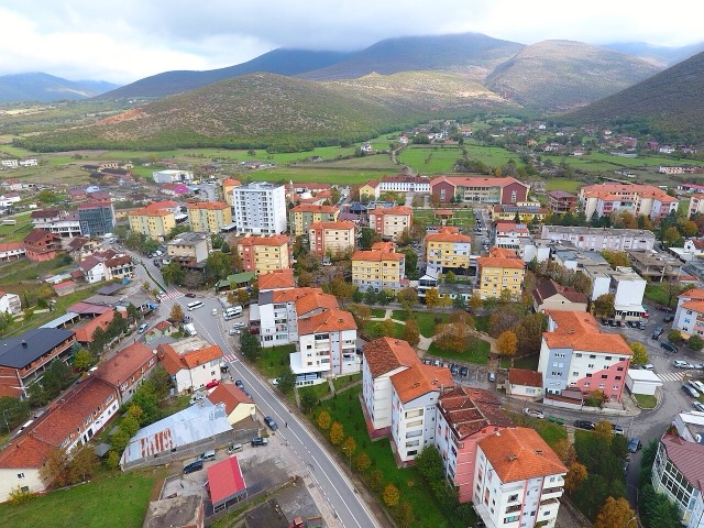
町 · Kukës
The road head for the Valbona valley, named after a guerrilla leader of the 1920s.
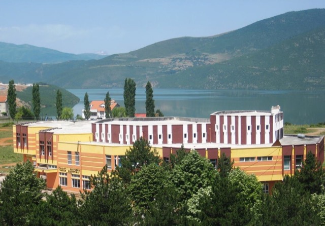
町 · Kukës
A town rebuilt above a reservoir in the 1970s, and the northern end of the Nation's Road.