Albania Atlas

每个县、每段海岸、每个世纪

阿尔巴尼亚地图集
地点
栏目
工具
设置
深色模式
界面语言
关于
设置
深色模式
界面语言

引导视图
初次了解阿尔巴尼亚?每个页面均以通俗易懂的说明开篇——即便是十岁的孩子也能读懂——随后再展开详细内容。

专业视图
您已掌握基础知识。直接进入正题,简明解释默认隐藏。此为默认模式。
★ 您收藏的页面
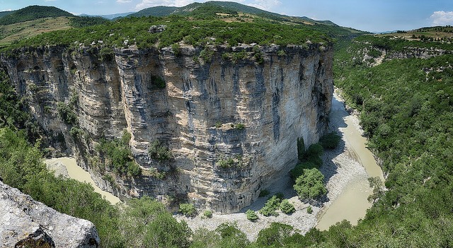
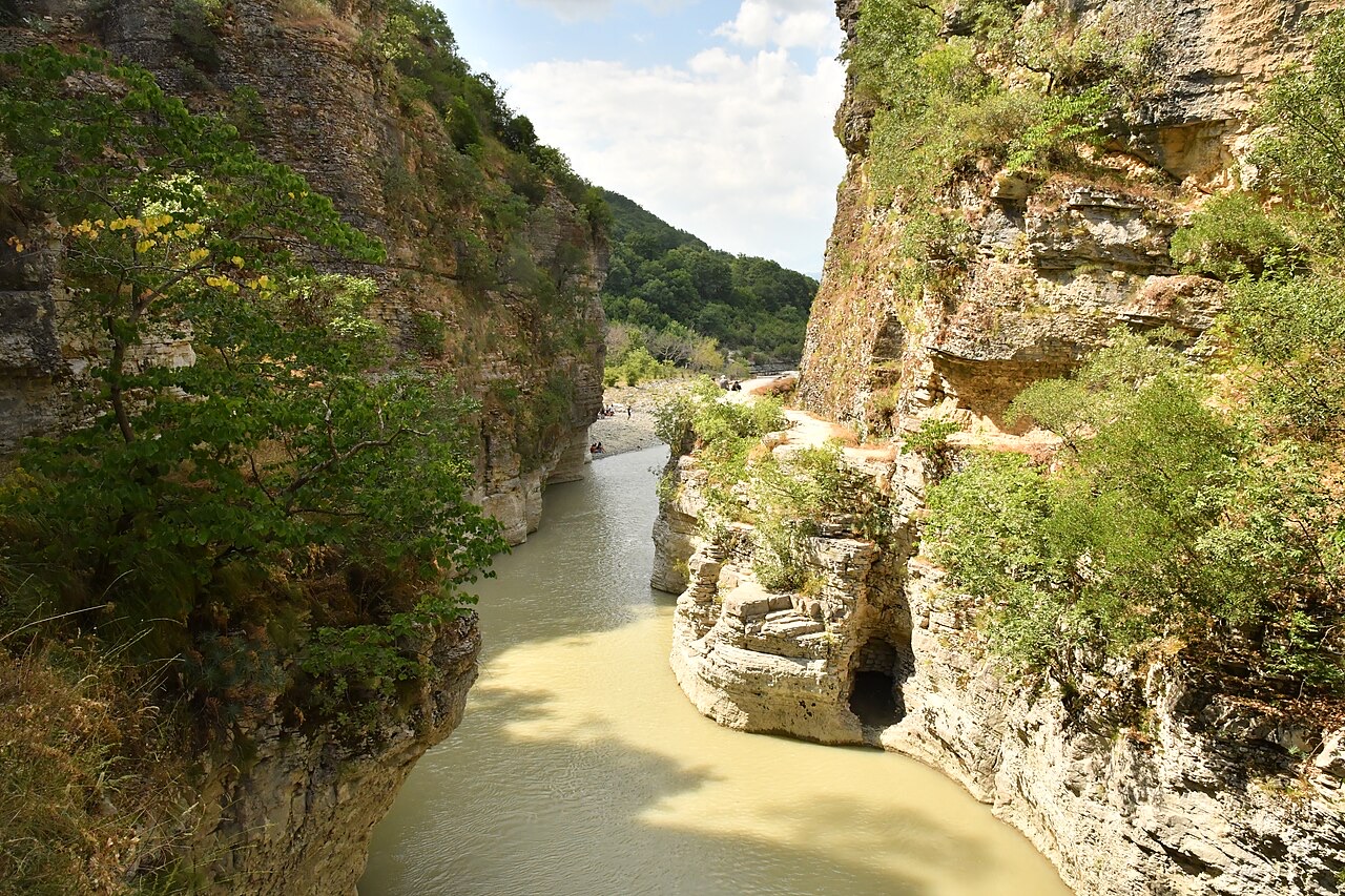
The mouth of the Osum Canyon near Çorovodë, Skrapar, in Berat County
The mouth of the Osum Canyon near Çorovodë, Skrapar, in Berat County · PurpleChicken25 · CC BY-SA 4.0 · Wikimedia Commons

地点

Berat County

城市 · Berat

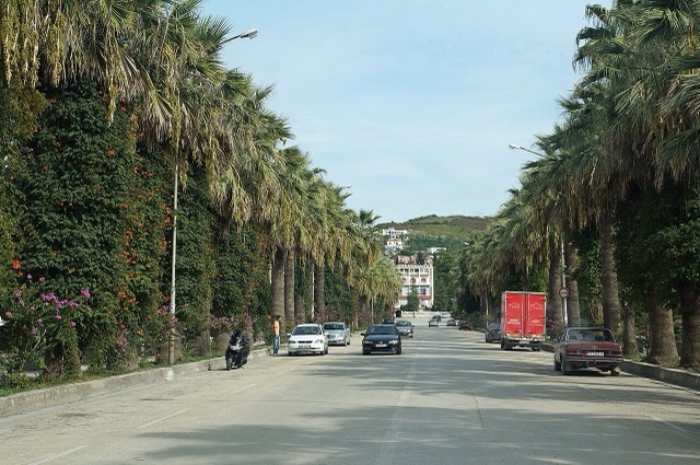
Berat

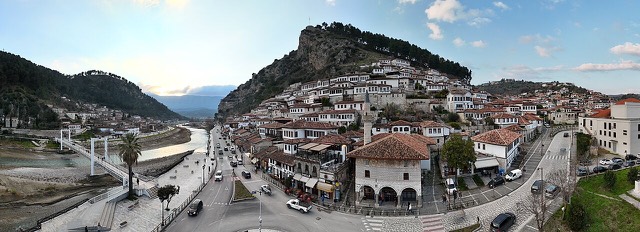
The 'city of a thousand windows': an Ottoman hill town under a still-inhabited castle, UNESCO-listed since 2008.

历史遗址 · Berat

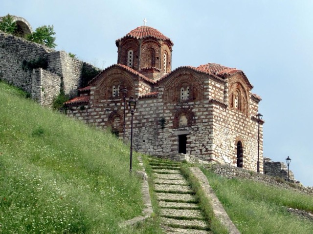
Berat Castle

A fortress people still live inside, holding some twenty churches and the Onufri icon museum.

山峰 · Berat

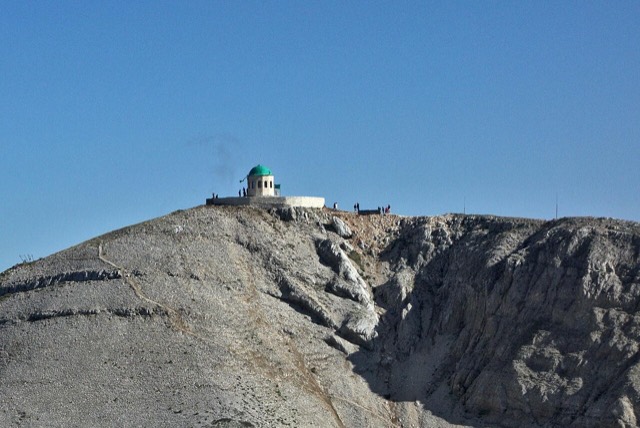
Mount Tomorr

A 2,416 m massif above Berat, and the site of an annual Bektashi pilgrimage each August.

城镇 · Berat

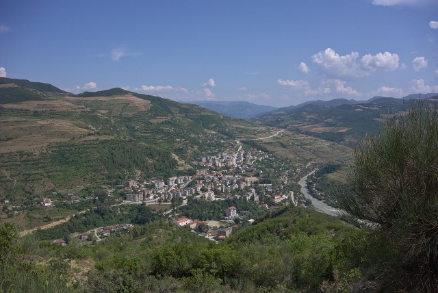
Çorovodë

The seat of Skrapar municipality and the base for the Osum canyon.

峡谷 · Berat

Osum Canyon

A 26 km limestone gorge up to 80 m deep, run by raft in spring and walked in late summer.
城镇 · Berat

Kuçovë

An oil town and air base, called Qyteti Stalin from 1950 to 1990.

城镇 · Berat

Poliçan

A small town below Mount Tomorr built around a former arms factory.

河流 · Berat

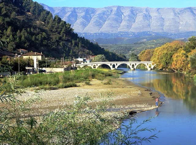
The Osum

The river that carved the Osum canyon and runs through the middle of Berat.

瀑布 · Berat

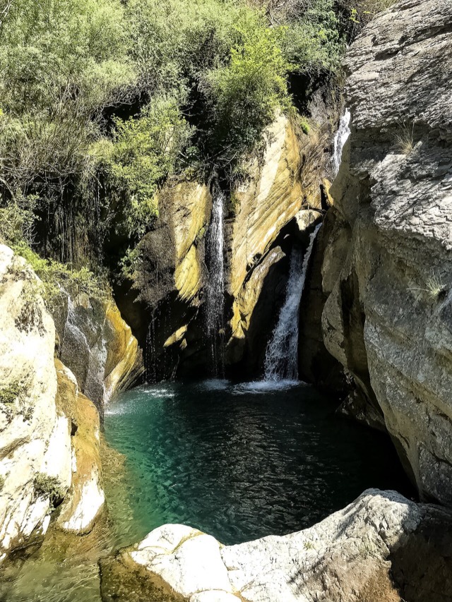
Bogovë Waterfall

A cold spring-fed fall and pool in the Tomorr foothills near Berat.

城镇 · Berat

Ura Vajgurore

A market town on the Osum in the Berat plain.

更多类型的地方