Şehir · Berat
Berat
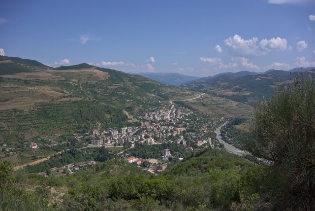
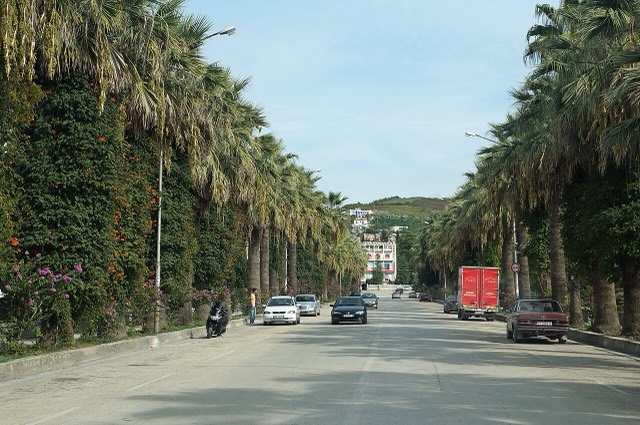
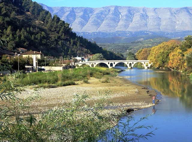
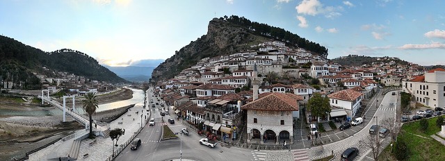
The 'city of a thousand windows': an Ottoman hill town under a still-inhabited castle, UNESCO-listed since 2008.
Her il, her kıyı, her yüzyıl
Rehberli görünüm
Arnavutluk'a yeni misiniz? Her sayfa, ayrıntılara geçmeden önce on yaşında bir çocuğa okuyabileceğiniz sade bir açıklamayla başlar.
Uzman görünümü
Temel bilgileri zaten biliyorsunuz. Sade açıklamalar gizli, doğrudan özüne geçin. Bu varsayılan ayardır.
Yerler
Şehir · Berat
The 'city of a thousand windows': an Ottoman hill town under a still-inhabited castle, UNESCO-listed since 2008.
Tarihi alan · Berat
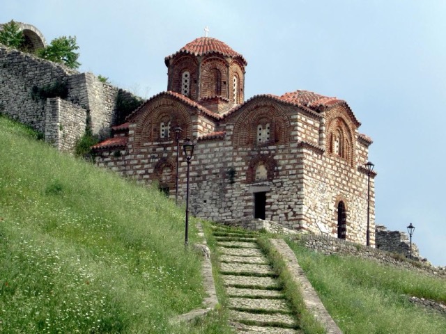
A fortress people still live inside, holding some twenty churches and the Onufri icon museum.
Dağ · Berat
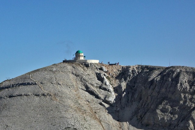
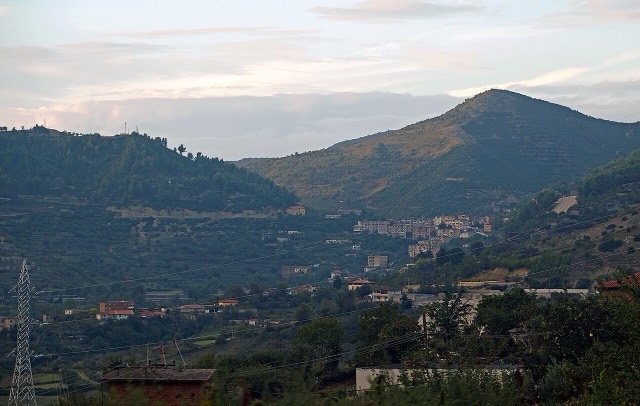
A 2,416 m massif above Berat, and the site of an annual Bektashi pilgrimage each August.
Kanyon · Berat
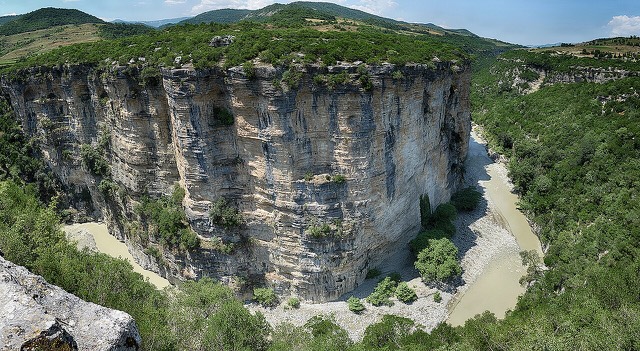
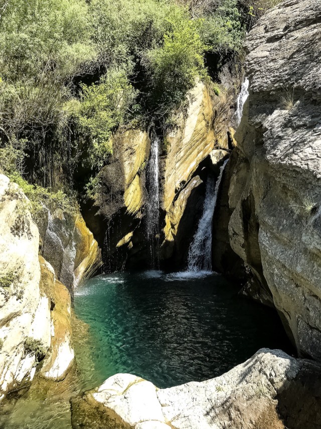
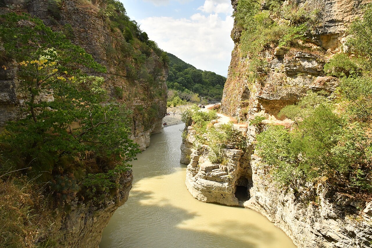
A 26 km limestone gorge up to 80 m deep, run by raft in spring and walked in late summer.